That weekend turned out to be a great one spend with a number of folks from outdooradventureusa.net as well as a few folks from Arizona who had me show them a few of our local trails. We had beautiful weather and scenery, fun trails and a bit of carnage. This trip came about from discussions about this area with Diane, dzJeepChic from Offroad Passport. She had four Jeeps from Arizona staying at the Lake Morena Campground. We met up Saturday morning and figured out what trails to run. Ollie ended up taking a group up Carvacre Road to Pancake Rock and I led the Arizona Jeeps through Sidewinder and Bronco Peak trails.
The Corral Canyon OHV Area is located near the town of Pine Valley, about 50 miles east of San Diego. Within this area, the Corral Canyon and Bobcat Meadows campgrounds jointly give OHV enthusiasts access to over 51 miles of system OHV trails. These trails which run across the Cleveland National Forest, offer you a heady mix of scenic beauty and test of skills.
My home for the weekend.
Some good info at the campground.
Meeting up at Four Corners.
Starting in on Sidewinder.
One of the TJ's ended up with a busted rear drive shaft.
Now on our way up Bronco Peak.
Oops.
Plenty of rocky obstacles along the way.
Later that night a fellow came walking into our camp who had rolled his Bronco off the side of the road.I managed to get video of the recovery.
On Sunday we all met up again and headed over to Jacumba. We went up to Elliot Mine to show those that had never been there before Elliot Mine and Valley of the Moon.We also hit up the old Stagecoach Trail north of the I-8.
Lined up at the old Carrizo Range.
Some of the trails come right up to the U.S./Mexican Border.
Heading up the mountain.
Parked atop one of the peaks.
Heading up Elliot Mine with Valley of the Moon in the background.
Lunch time in the lower valley.
View of I-8 from Mountain Springs Stagecoach Trail.
Looks Like I've been slackin' here with my trip reports. Time to get things updated here. With this season's repeated downpours, San Diego County's big waterfalls have been putting on a show. Big, in this neck of the woods, means a hundred feet or so. One of the easiest and accessible to casual hikers is Cedar Creek Falls. Another, called Mildred Falls, can be seen on the way to Cedar Creek. On Saturday, January 1st 2011, Ollie, Ralphie, Willie and I headed out towards Julian to hike out to Cedar Creek Falls.
Cedar Creek Falls plunges about 90ft into a large swimming hole surrounded by rock walls. It's one of the more popular hikes in this part of California, which is perhaps more known for its hot and dry climate than its waterfalls. While this is indeed an impressive waterfall, it can have a short life depending upon the amount of rain/snow fall during the winter. Starting out from the trail head at the end of Eagle Peak Road we had great views looking north up Ritchie Creek Canyon to see Mildred Falls, arguably San Diego County's highest at more than 100 feet.
Cedar Creek had quite a bit of water flowing and we had the whole area to ourselves, as we had arrived at the trail head a bit before 8am. By the time we had started back, a number of other people started showing up so it looked like we beat the crowds. During the spring a early summer its not uncommon to see well over 50 people hanging around the pool at the base of the falls. This 4.5 mile round trip hike usually takes about 2 1/2 hours, not counting the time spent taking in all the overwhelming natural beauty at the falls.
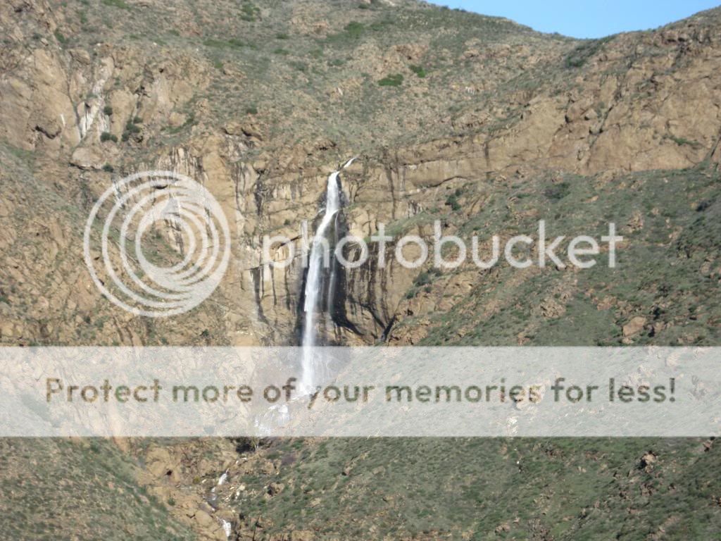
Looking out at Mildred Falls from the trail head, the tallest in San Diego County.
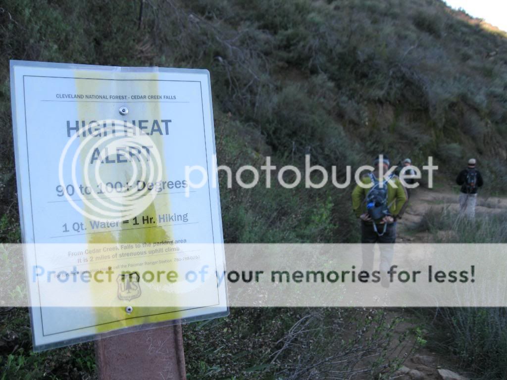
We didn't have to worry about high temperatures today. However many folks underestimate this hike in the summer and end up needing to be rescued by the Forest Service.
Many of the puddles along the way were partly frozen.
Looking north where the San Diego River and Ritchie Creek Canyon intersect.
The San Diego River valley starts to widen out.
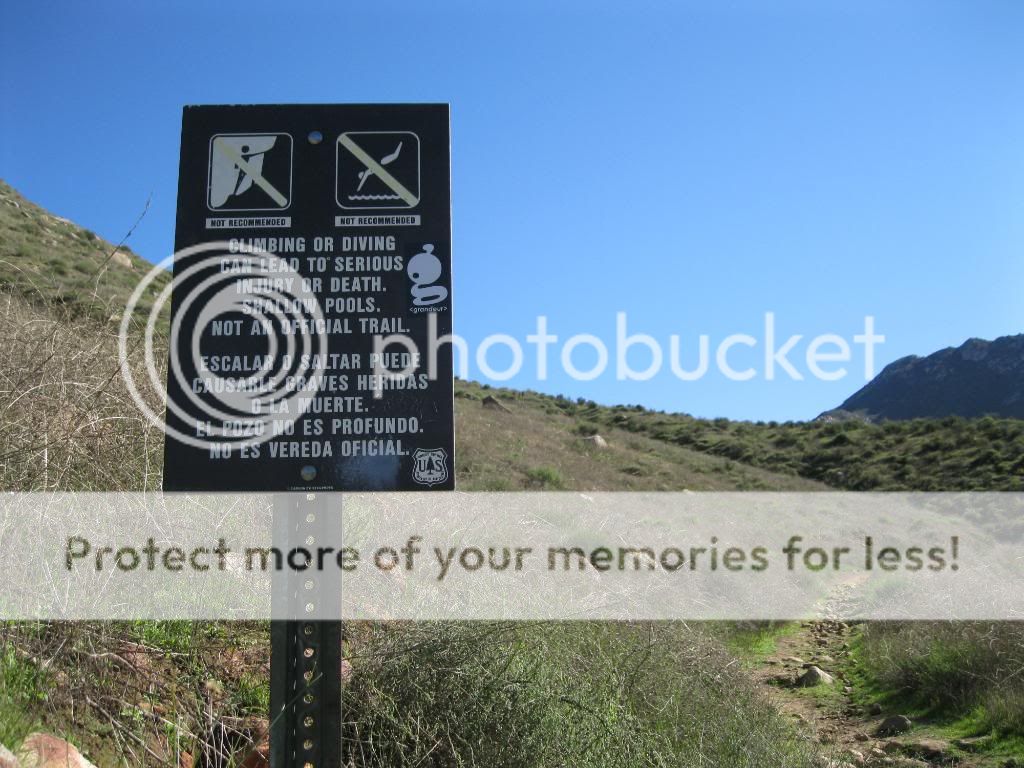
Sadly, some people don't heed these signs.
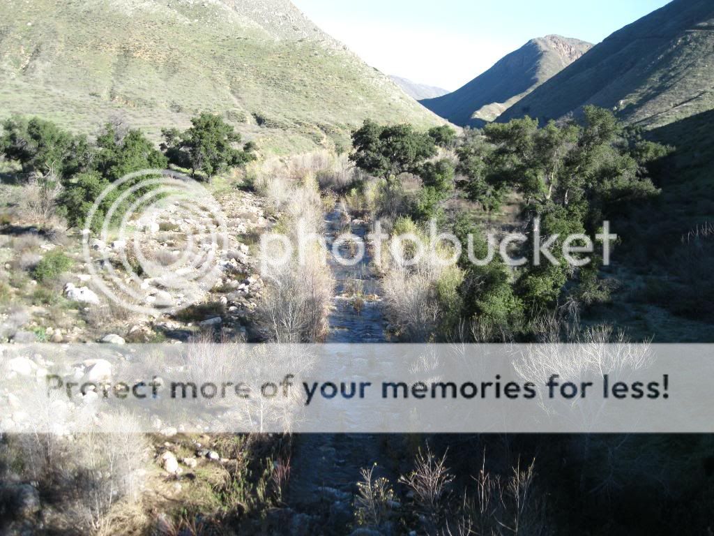
San Diego River.
Our destination. Cedar Creek Falls.
We had several crossings of Cedar Creek.
View of Mildred Falls on the way back up.
The trail head had turned into a parking lot by the time we got back.
"Cedar Creek Falls hiking area is closed indefinitely following the death of a 16-year-old hiker Wednesday and at least seven other rescue calls since Saturday.
"We are looking at the elevated health and safety concerns," Brian Harris, public information officer for the U.S. Forest Service told Patch Wednesday night.
Cedar Creek Falls is in Cleveland National Forest, bordering San Diego Country Estates in Ramona. Hundreds of people hike in the area every weekend from throughout San Diego county and beyond. Sheriff's Lt. Julie Sutton of the Ramona substation recently expressed concern about young people partying in the area now that they are on summer vacation.
Saul Villagomez, battalion chief with Ramona Fire Department, echoed that concern in an interview with Patch on Wednesday. See the attached video.
Harris said law enforcement will be stationed at the facilities Thursday morning, and both of the two trailheads will be closed.
He said the Forest Service will need to discuss the closure with its general counsel to determine how long the area will remain shut off to the public.
In Wednesday's accident, an El Cajon teen died after falling from a steep cliff, according to the medical examiner. Another teen was taken to Palomar Medical Center.
Although it's reported that the teen fell — and did not jump — Villagomez told Patch that some people party with alcohol and then take the plunge, which can cause serious injuries over summer when the water is low.
Cedar Creek Falls is considered one of the most popular hiking locations in San Diego county."
Since December is the last month to traverse and explore Carrizo Mountain until June of 2011 due to the seasonal bighorn sheep closure, I headed out to camp near the summit over the weekend of the 11th and 12th of that month. Along with exploring other old mining roads atop the mountain, I also searched for fossilized oyster beds and petrified wood in the nearby areas.
Rockhounding is one of many recreational pursuits on 14 1/2 million acres of lands managed by the Bureau of Land Management (BLM) in California. Collecting small, non-commercial quantities of rock by rockhounds is allowed free of charge on lands managed by the Bureau of Land Management. Commercial collecting for the purpose of sale or barter is not allowed without special authorization. Rockhounds may use hand tools such as shovels and picks, but must not use explosives or power equipment for excavation.
Petrified wood is available for collection on a free use basis in limited quantities as long as the collection is for personal, non-commercial purposes. According to Federal regulations, free use collection weights are limited to 25 pounds plus one piece per day, not to exceed 250 pounds in one calendar year, and no specimen greater than 250 pounds may be collected without a special permit.
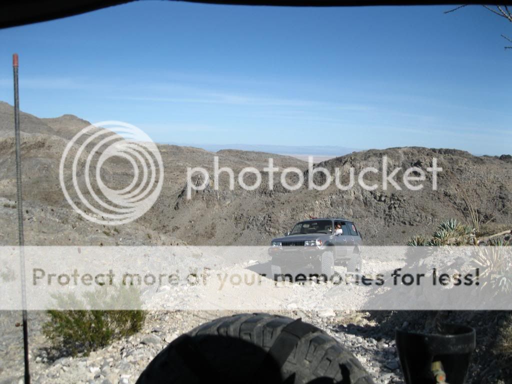
Looking out over the desert.
Much of the trail up the mountain consist of narrow shelf roads.
A little ways below the summit is a nice area to camp.
It was obvious the big horn sheep had been hanging around.
I was greeted by a red tail hawk while setting up camp.
Home away from home.
Painted Gorge.
Steve met up with me later with his Lexus LX450.
Views from our camp.
Looking out over Carrizo Wash and Fish Mountain.
Exploring other trails around the mountain.
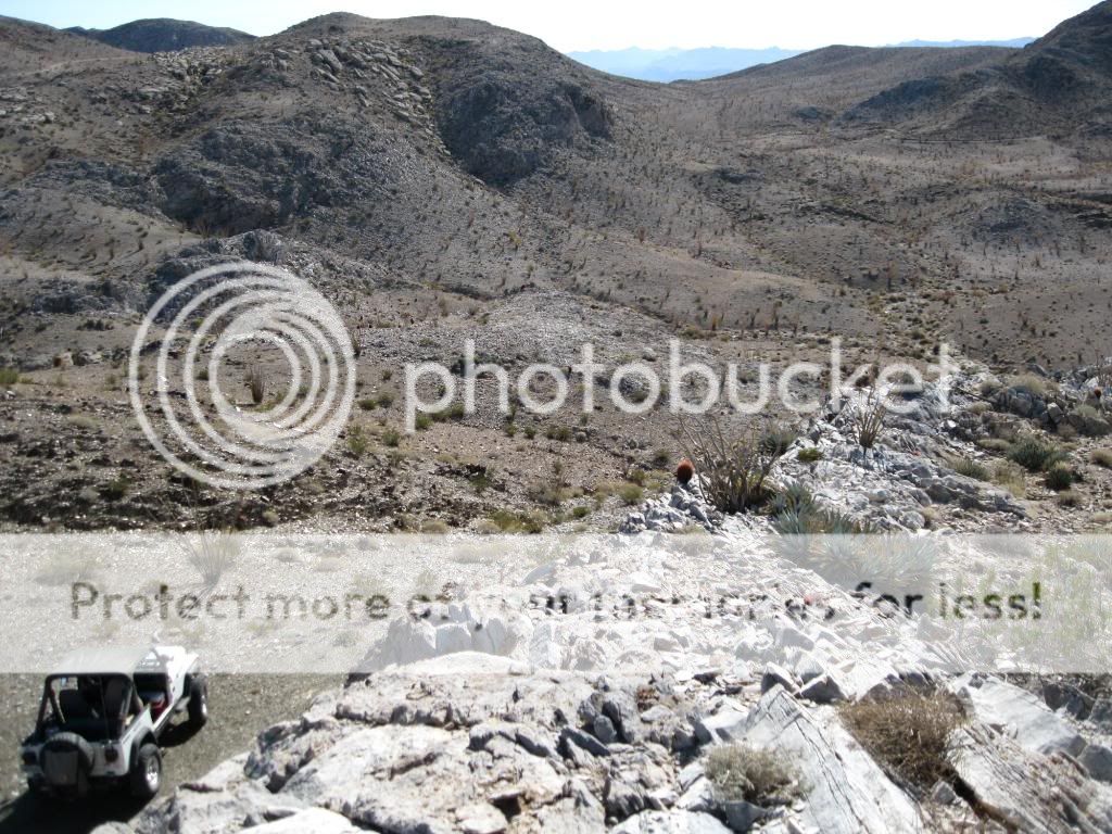
Overlooking the Carrizo Badlands.
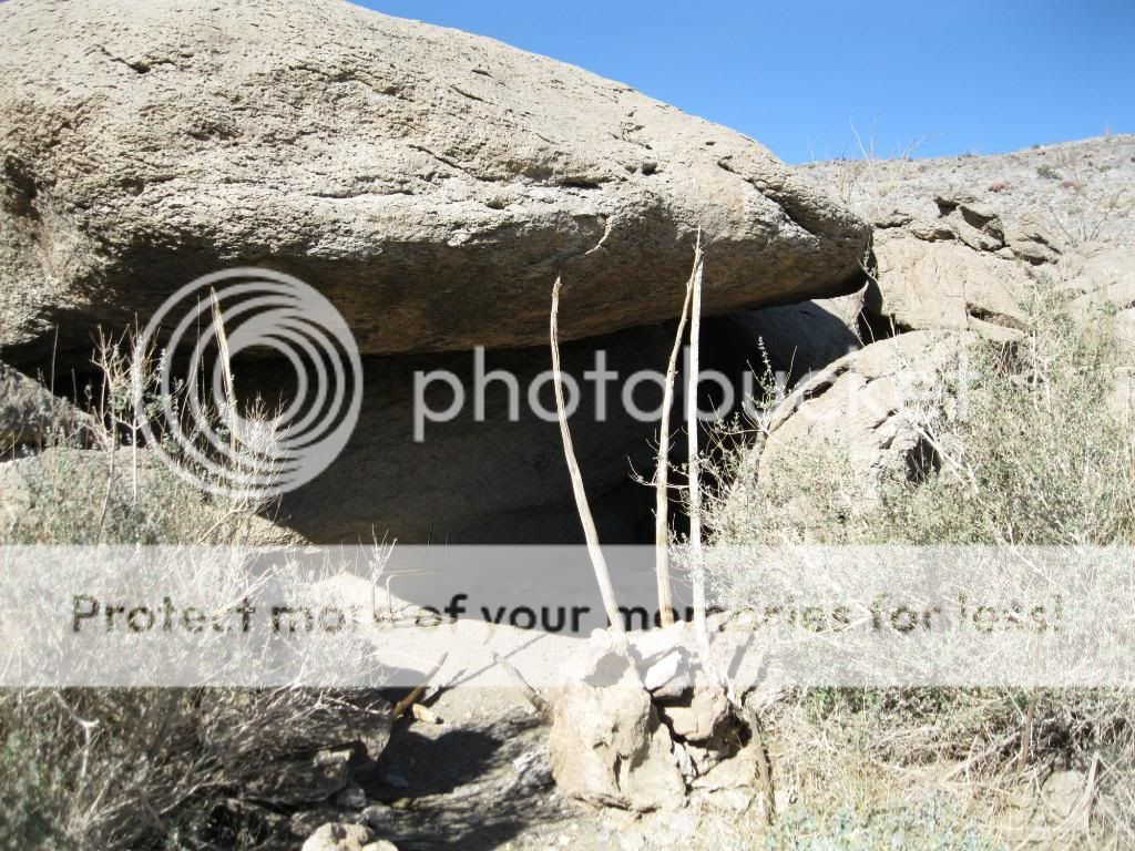
We found this cave along one of the trails.
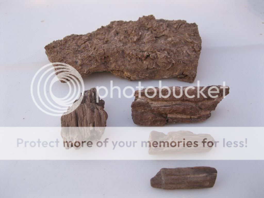
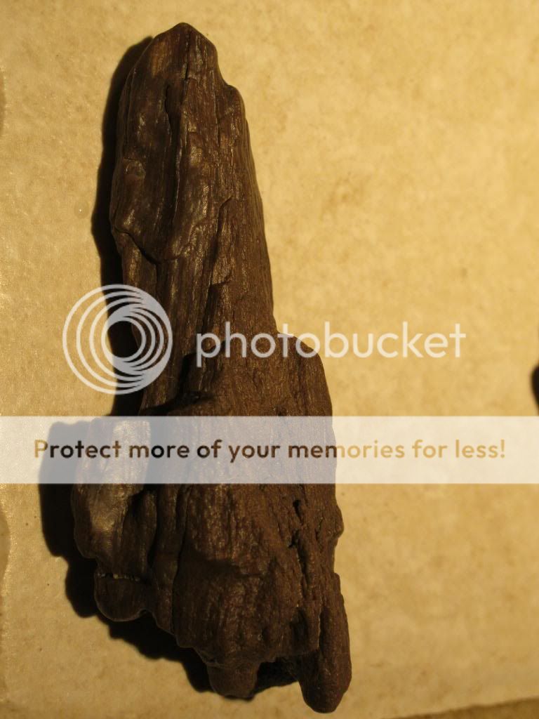
My finds for the day. Fossilized oyster bed and petrified wood.
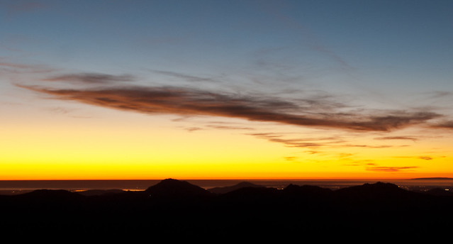
Sunset.
The next day we packed up and headed out.
Steve headed home that morning after we met up with Craig and his FJ.
Casualty of the desert.
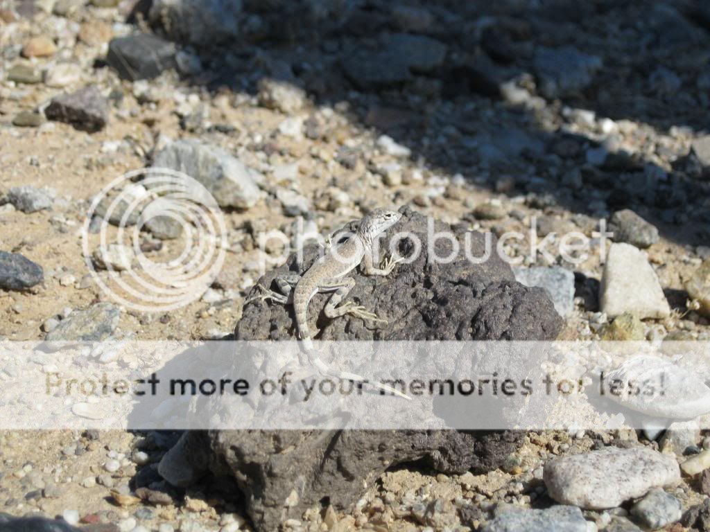
We're careful not to disturb the local residents.
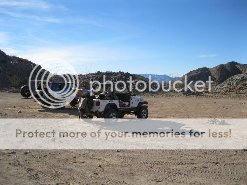
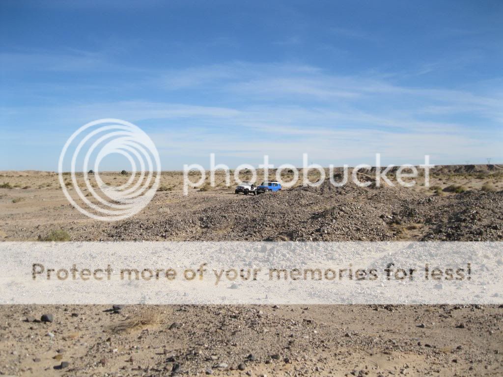
Our hunting grounds.
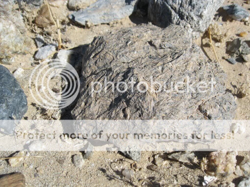
It was easy to find the fossilized reefs/oyster beds.
The petrified wood took a bit more searching to find.
This was the biggest piece I found.
All the wood I managed to find.
It turned out to be a pleasant weekend out in the desert, exploring old mining roads and digging up remains from an ancient world.