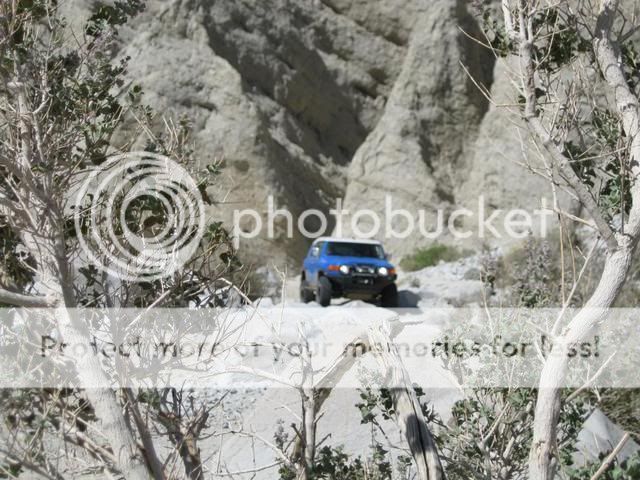
Old Borrego Valley Road-San Felipe Wash-Old Kane Springs Road- Carrizo Wash
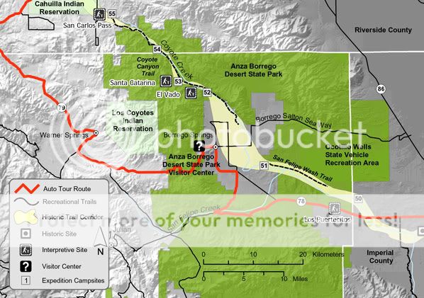
Old Borrego Valley Road marked the beginning of this run, from just east of The Narrows to Ram's Hill in the Anza-Borrego Desert State Park. Before County Road S-22 was built, this was the road taken to Borrego Springs after coming from Warner Springs down Grapevine Canyon. An electrical substation on the south side of Hwy 78 marks this turnoff into San Felipe Wash and up into Cactus Valley. This route, which used to be the only access into Borrego Valley, now passes through a quite, serene and little visited portion of the desert. Our route then took us through Borrego Sink and onto San Felipe Wash. Much of this run followed the wide, sandy course of San Felipe and Carrizo Wash.
These trails also cover part of the Juan Bautista de Anza expedition routes of 1774 and 1775. Juan Bautista de Anza was the first European to establish an overland route from Mexico, through the Sonoran Desert, to the Pacific coast of California.
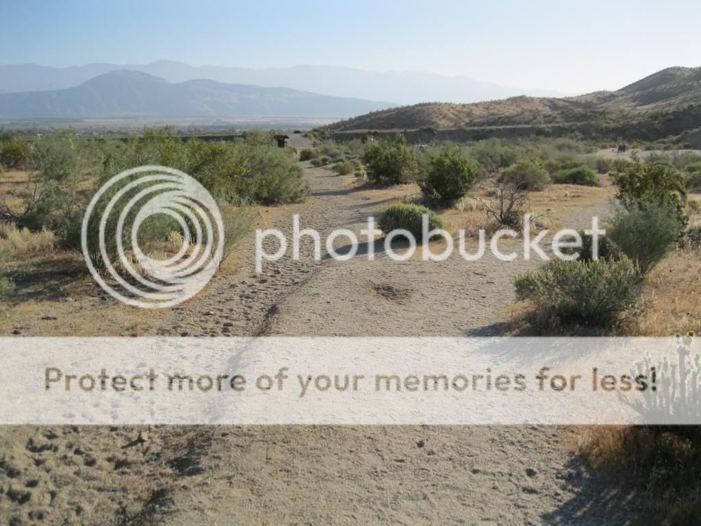
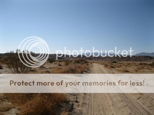
Our starting point at Old Borrego Valley Road.

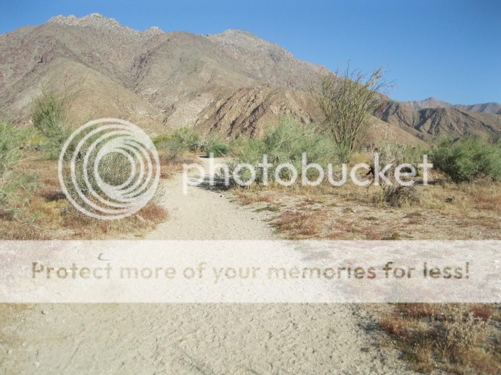
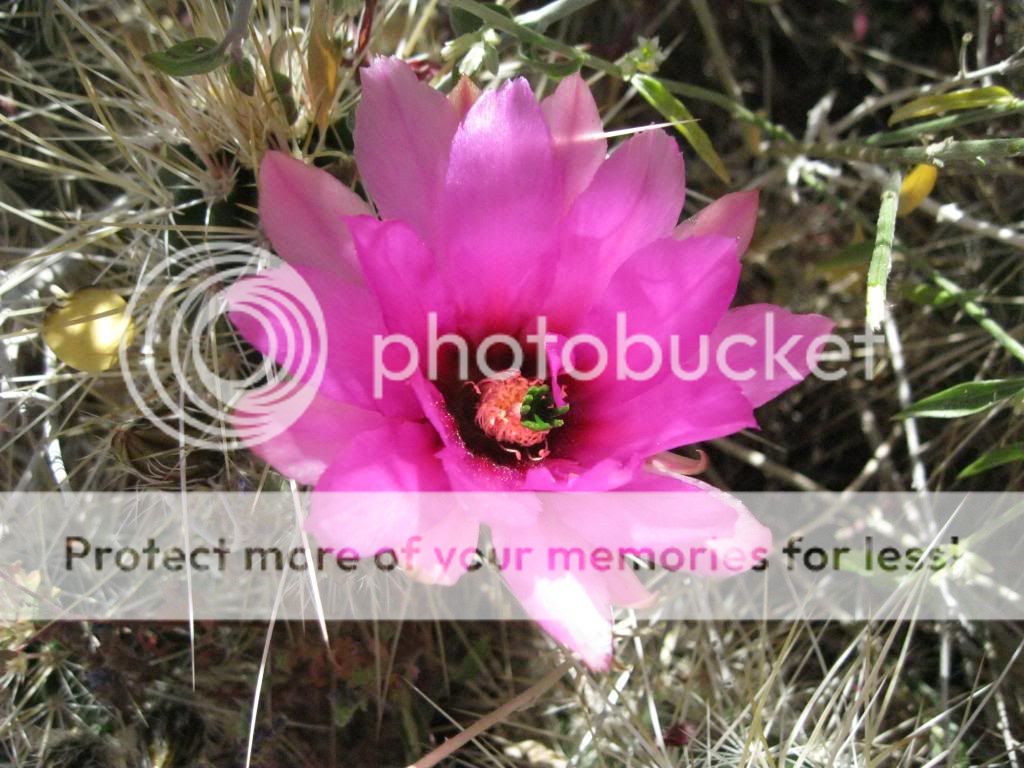
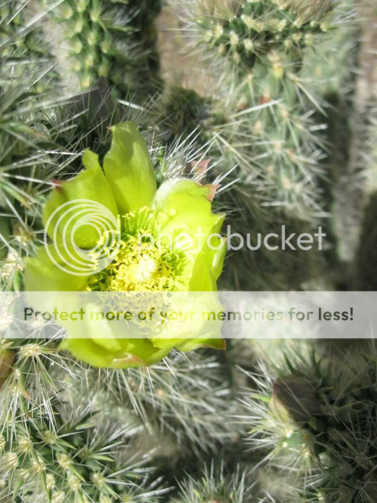
It may look barren to others, but I enjoy the beauty of the desert.

Ollie and I airing down at the trail head.

View of Borrego Valley in the distance.

Closing in on Borrego Springs.

Ollie, bringing up the rear of our small off road convoy.

Making our way through Borrego Sink.
The Anza expedition arrived at the original Borrego Spring, near this location, 5 miles southeast of the present-day town of Borrego Springs, on March 12th 1774, where he encountering 60 Kumeyaay Indians. A historic marker here indicates that Anza named the spring San Gregorio.

The Borrego Badlands, located to the north or our route.

Now entering the wide, sandy course of San Felipe Wash.

Part of the route along San Felipe Wash travels through the Ocotillo Wells OHV Area.
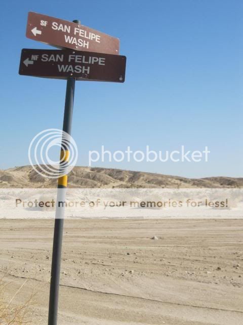
On this day we had the whole desert to ourselves.

A quick stop to reflect on the history of this area.

The Highway 78 bridge offers some welcome shade.
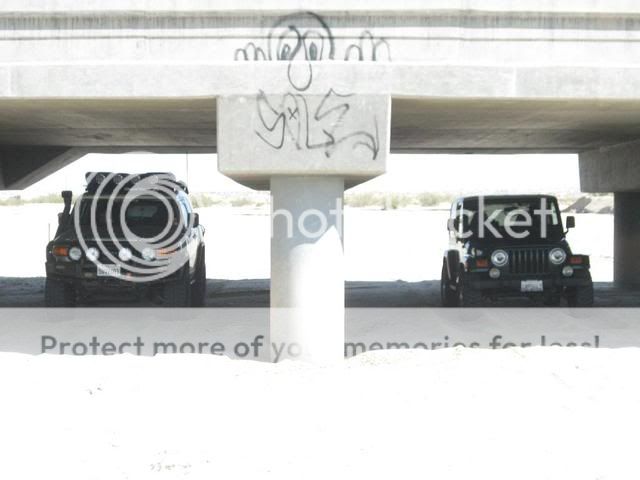
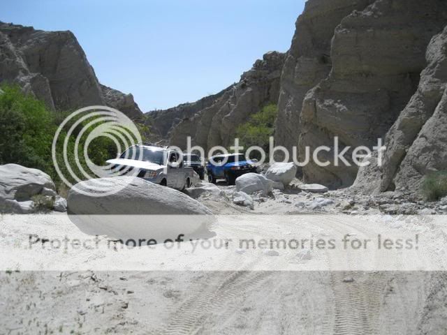
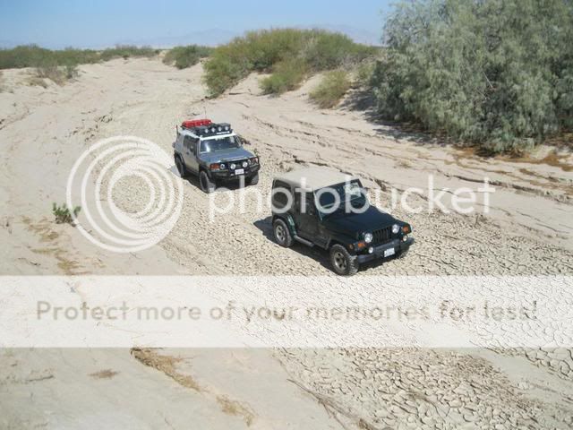
From here, San Felipe Wash starts to narrow.
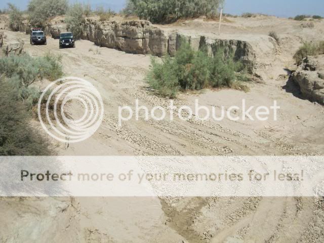
You would not want to be here during a flash flood.

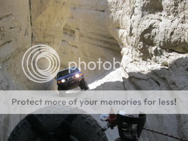
The trail quickly becomes a narrow maze of deeply cut washes.


We soon find our way to Pole Line and Kane Springs Road.
San Sebastian Marsh boundary at Carrizo Wash.

The unique, water-based habitat along San Sebastian Marsh has supplied a permanent, dependable source of water for people and wildlife since ancient times. The marsh was a stopping place for the Spanish explorer de Anza, who named it after his Indian guide Sebastian Tarabel and after trading with some 400 Kumeyaay assembled there, continued northwest up San Felipe Wash into the Borrego Valley.. The marsh is the only designated critical habitat in California for the desert pupfish, an endangered species. Because of its importance in sustaining this unique marshland environment, San Felipe Creek and San Sebastian Marsh is a registered National Natural Landmark. It has also been designated an Area of Critical Environmental Concern (ACEC). The area around the creek and marsh are easily damaged and very sensitive. The marsh is closed to vehicle use, with closure of boundaries clearly posted.
We had a great time dodging the mud holes along Carrizo Wash.

Our route begins to widen out through Carrizo Wash.

Nearing the end of our journey.

From here we follow the trail along the Gypsum Mine railroad track to Split Mountain Road, which marks the end of my Anza Expedition Route.

With two vehicles we were able to cover 54 miles in about 3 1/2 hours. I'll be looking forward to leading this run for a larger group during OAUSA's 2011 BorregoFest event in October.