Showing posts with label blue sun cave. Show all posts

Monday, November 24, 2014

Mortero Palms to Goat Canyon Trestle & Indian Hill | Anza-Borrego Desert State Park


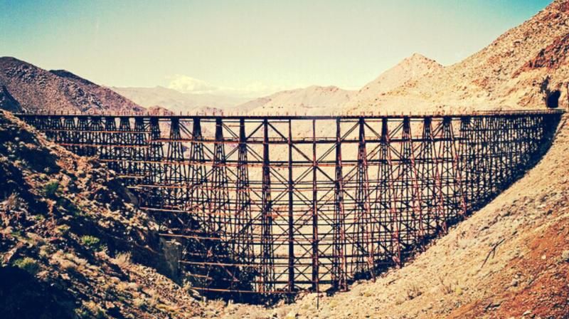
With November rolling around, it was time once again for a hike into the Anza-Borrego wilderness to check out the world's largest wooden railroad trestle in Goat Canyon. I've delved into the history of this "Impossible Railroad" in past trip reports, which can be found HERE.

I had considered making this an overnight trip, camping out near the trail head after the hike but decided instead to just spend the day hiking in the desert. On this outing, I was joined by Dave, Mike, Steve, and Tammy. I arrived early at Steve and Tammy's place to ride out with them, with Mike following. Dave, who had a much farther drive, met us at the trail head for Mortero Wash just off Highway S2. We would need to set up a shuttle arrangement with the vehicles since our hike would end a few miles away from the trail head. Along with the old railroad camp dwelling, we would also be making our way to the Blue Sun Cave and ancient Native American village site at Indian Hill. To check out my last trip to Indian Hill, click HERE.

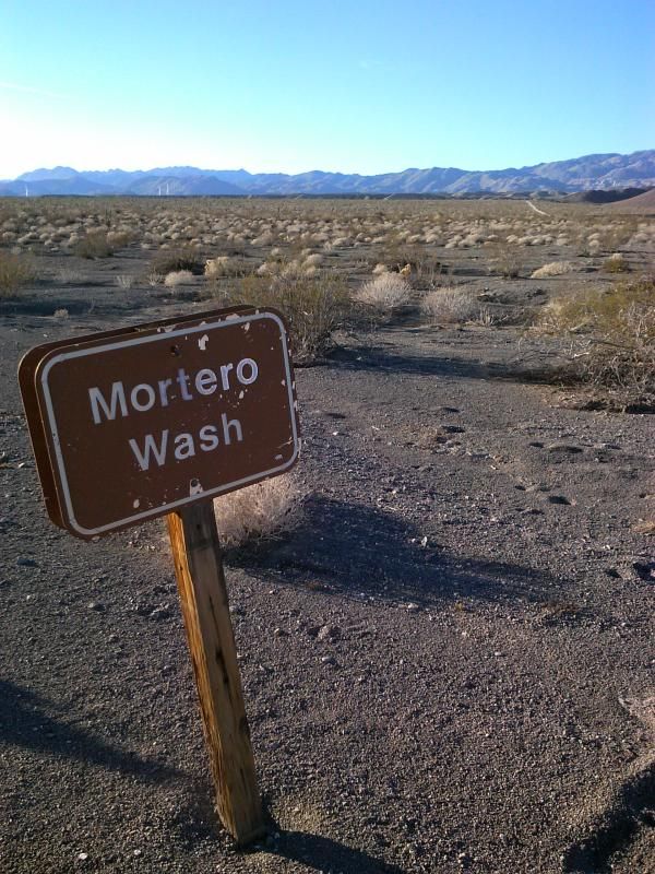
Our meeting location was the Mortero Wash trail head, located just off Highway S2 about 0.2 miles west of mile post 56. This point is 8 miles northwest of the small desert town of Ocotillo at Interstate 8 in Imperial County.
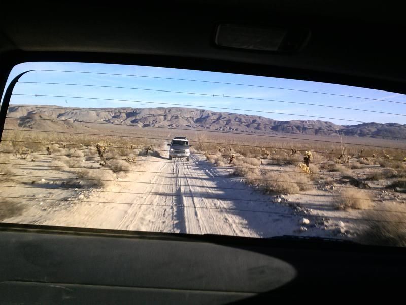
Mike following us up the wash in his 4X4 Chevrolet Astro Van. Dave's H2 Hummer was bringing up the rear.
While the guys went to drop off Dave's rig where our hike would end, I wandered around the old Dos Cabezas railroad siding.
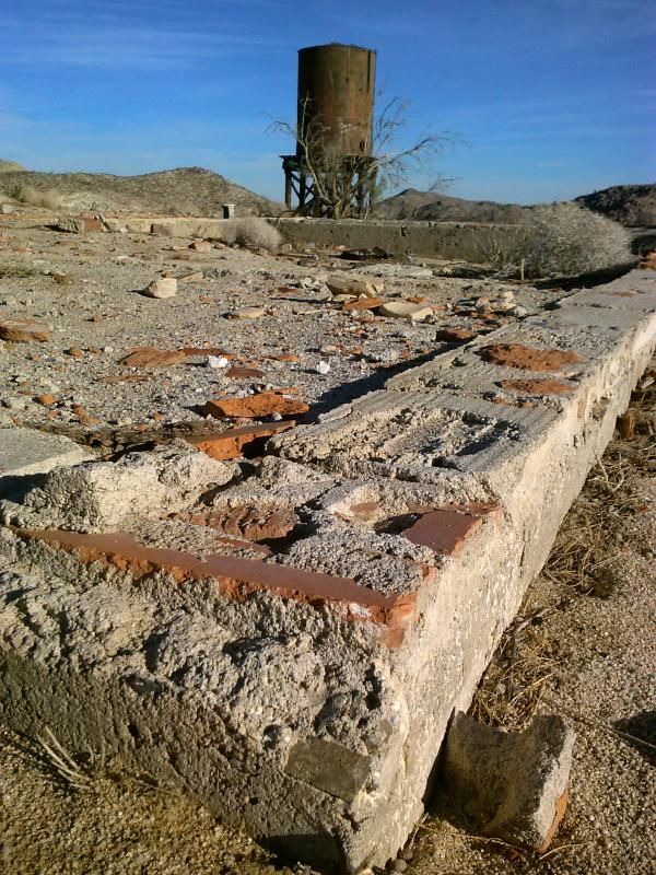
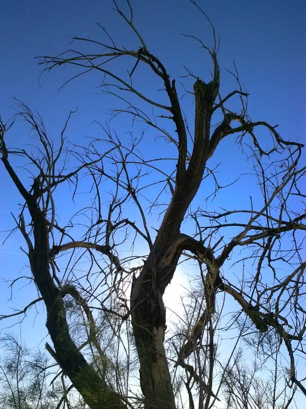
I wonder what this area looked like in the early 1900's.

Soon after leaving the trail head we negotiate the boulder strewn canyon that leads to Mortero Palms.
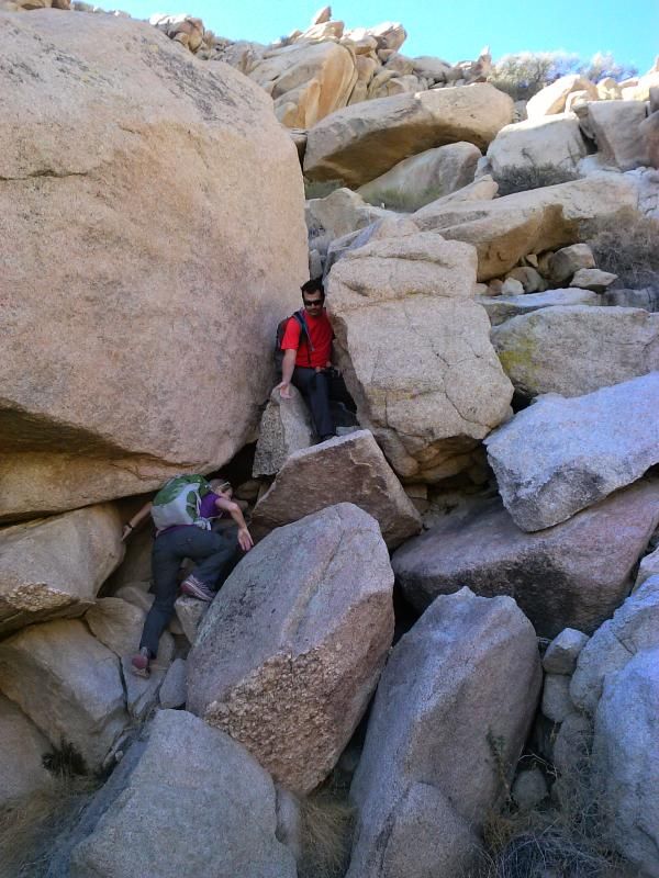
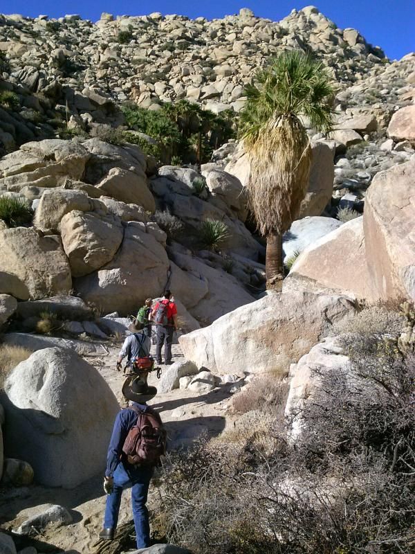
The gang leading the way into the palms.
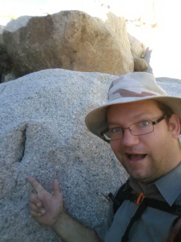
Yeah, I'll let you Google what a "Yoni" is.
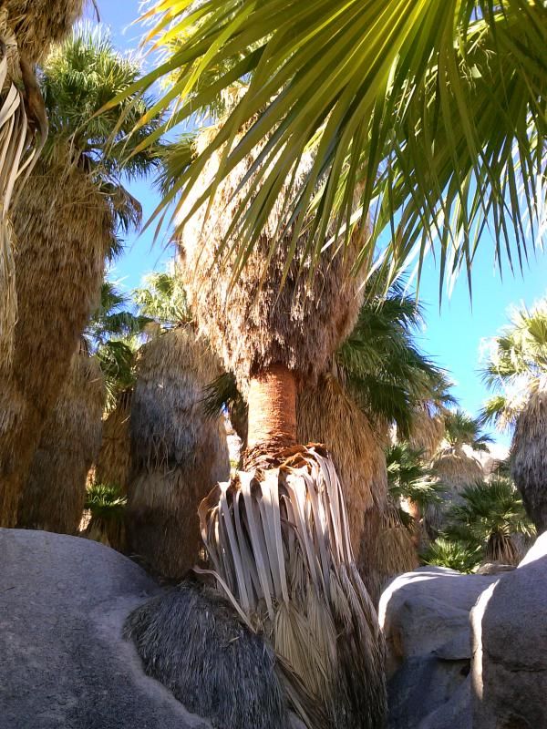
Mortero Palms lies in the southernmost reaches of the Anza-Borrego Desert State Park, not far from the old Dos Cabezos railroad siding.
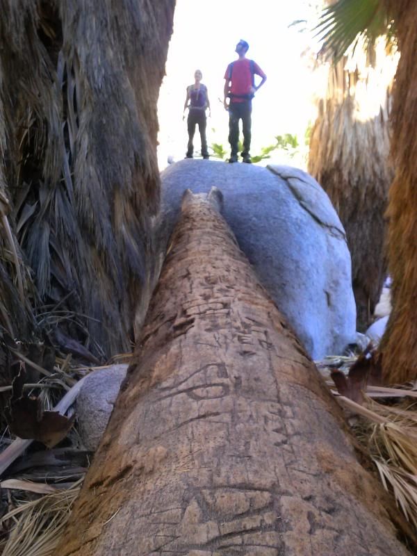
Steve and Tammy, taking in the views.
Looking down from the top of a dry waterfall that the rest of the group prepares to climb.

Above the palms and still climbing.
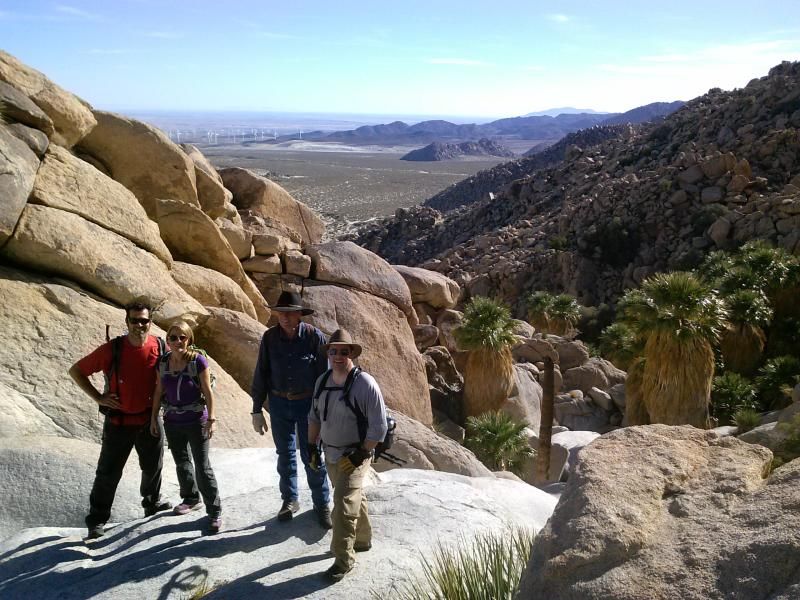
Group shot (from left to right- Steve, Tammy, Dave, and Mike) overlooking Mortero Palms, minus yours truly of course.
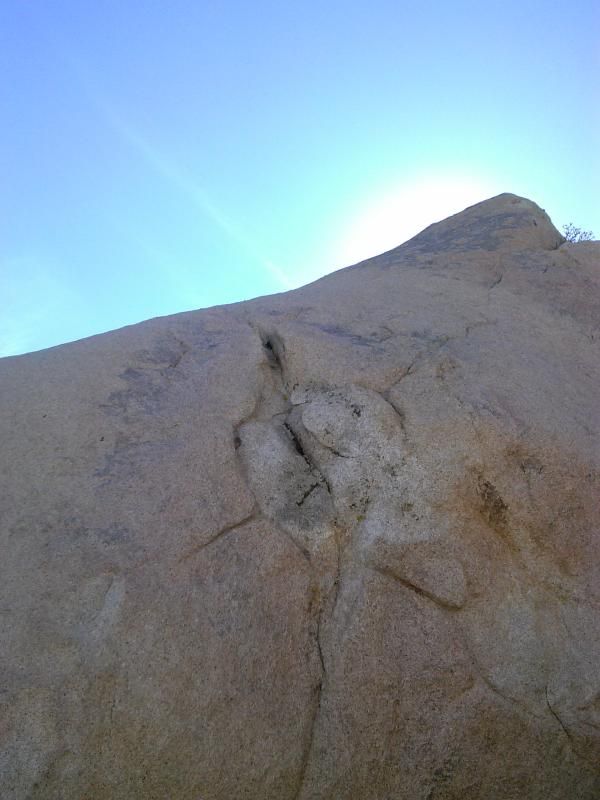
Another "yoni" along the way.
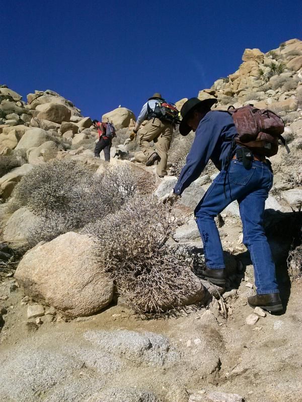
Still climbing...
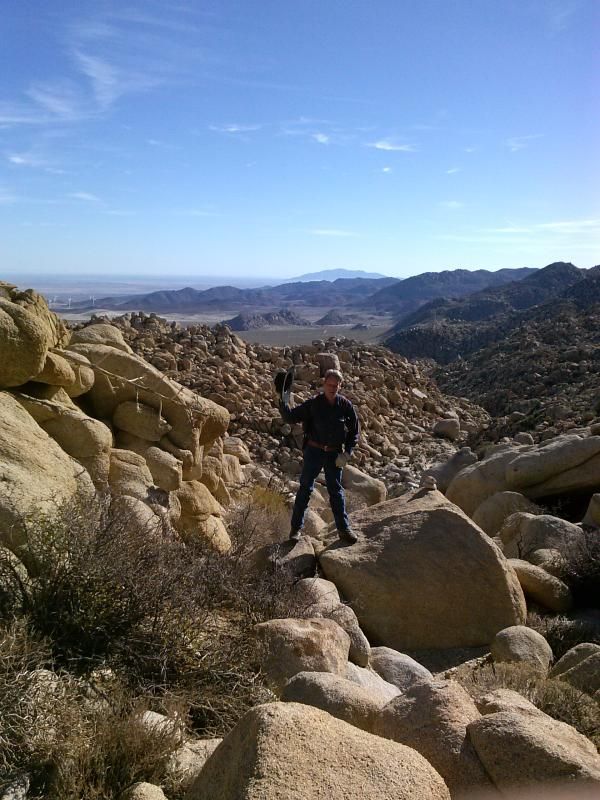
Dave, taking a break at the first saddle.
We continue along a cholla covered hillside before dropping down into another canyon.


Reaching the end of the canyon we start the steepest climb of the hike. Not our favorite part.
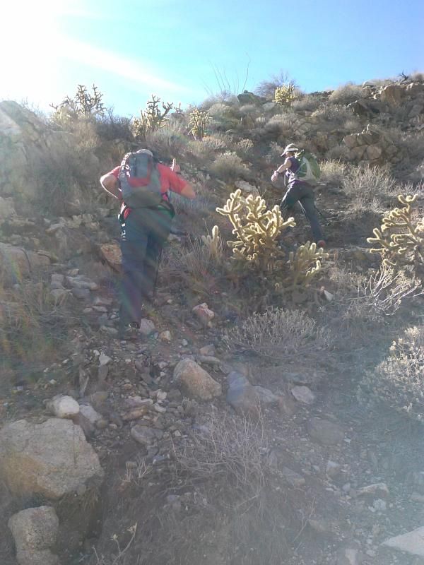
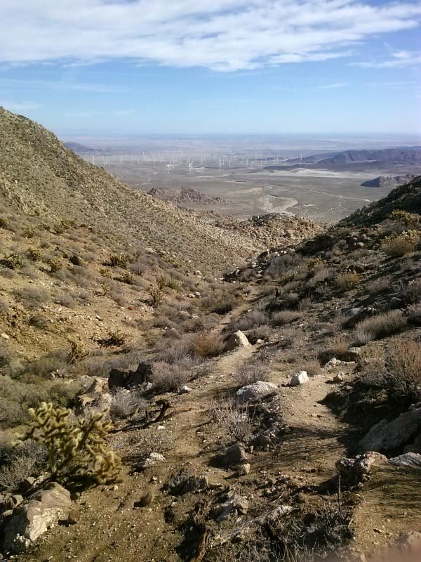
However, the views are great! (Although they might be better with all the wind turbines.)
Catching up to the others.
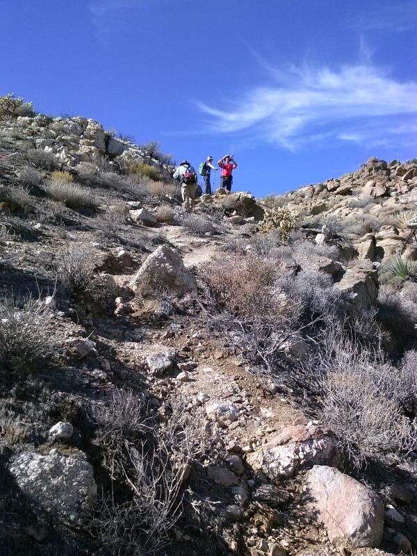
We finally reach the top of the ridge. Its all downhill from here!
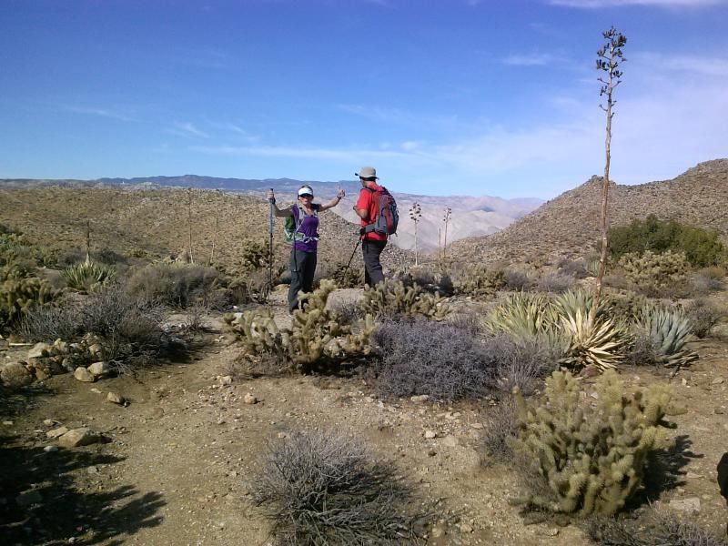
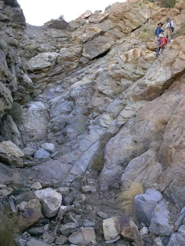
Making our way down Goat Canyon, there's a few dry waterfalls, steep descents, and loose rock to traverse.
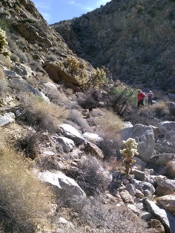
The last steep pitch into the canyon is a nasty one.
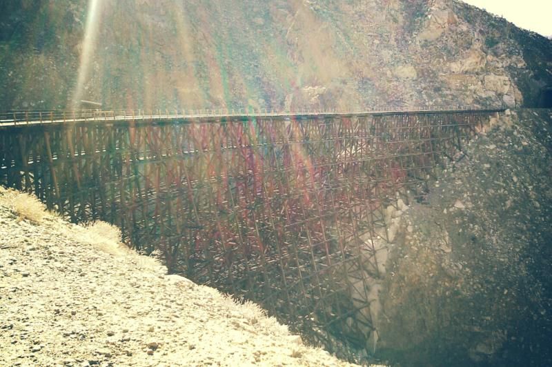
Once at the bottom we reach Goat Canyon trestle, in all its glory.
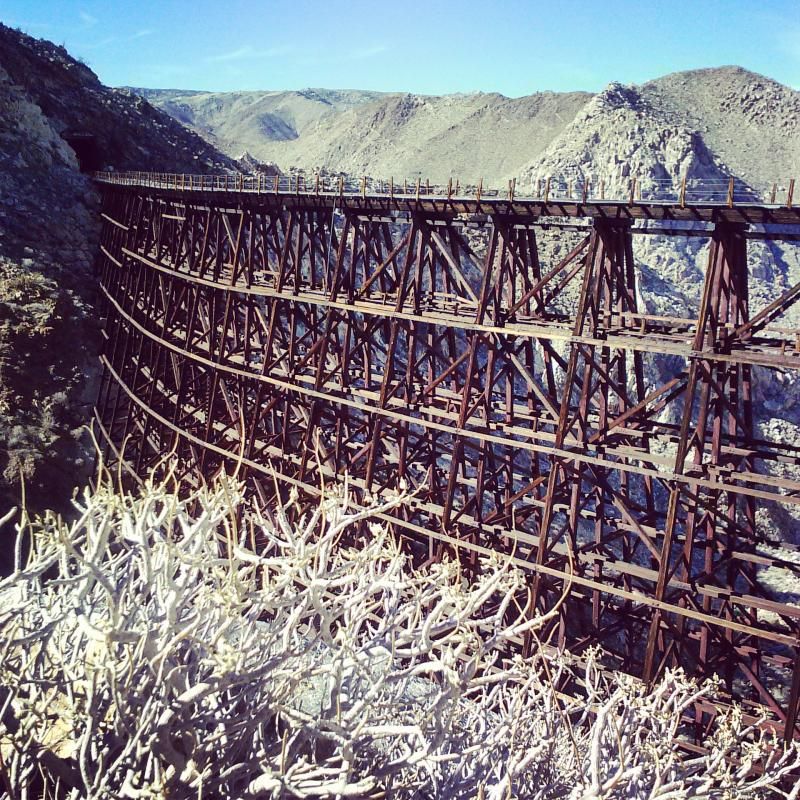
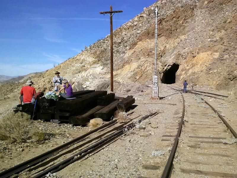
Time for a lunch brake.
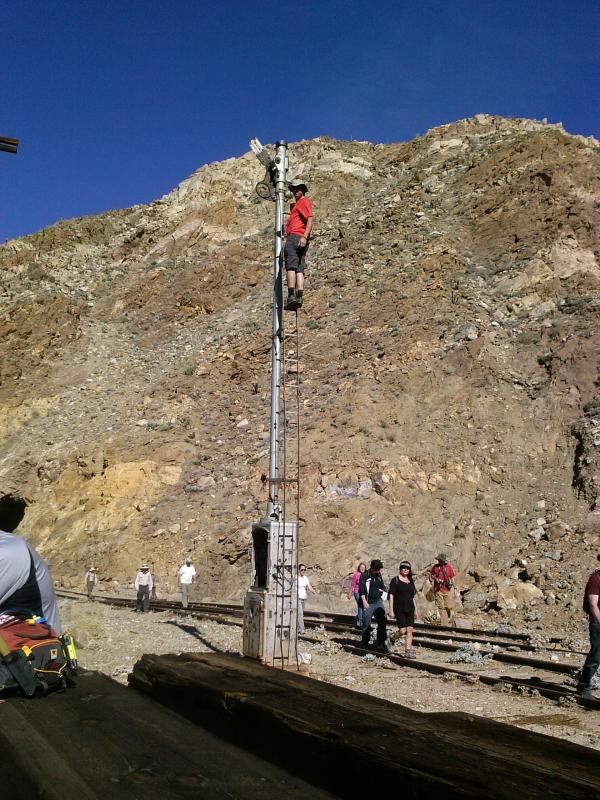
Steve has a lot of trust in the structural integrity of this thing.
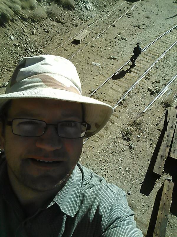
I guess I do too...
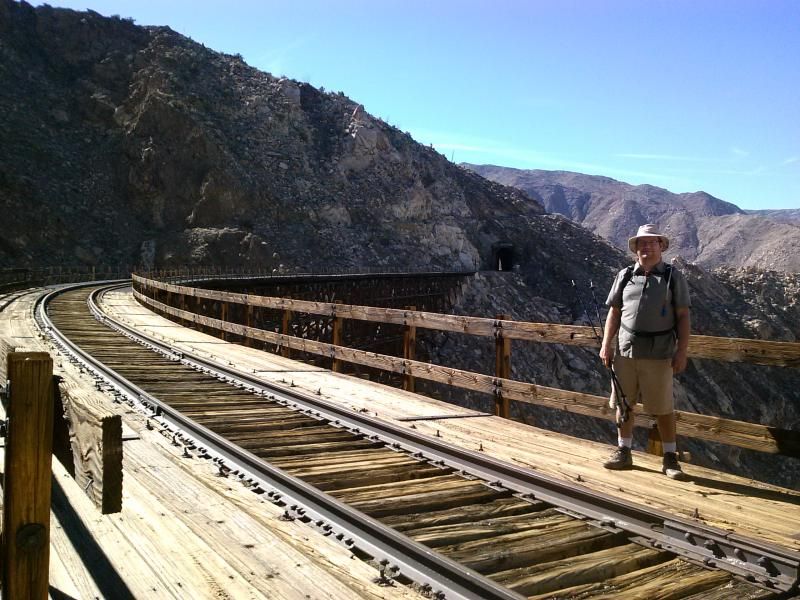
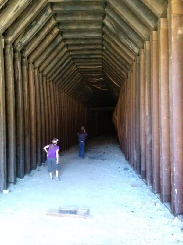
After lunch we cross the trestle to check out the collapsed tunnel. You can see the buckled shoring above and on the right. 
Heading back cross Goat Canyon trestle.


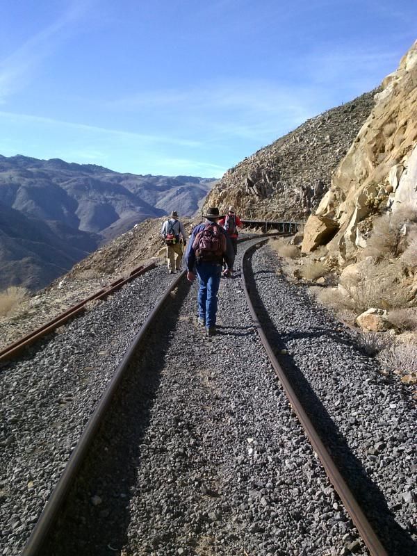
Heading down the tracks.
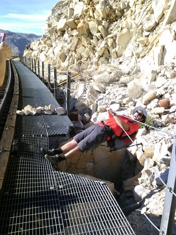
More of Steve's shenanigans.
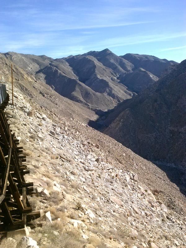
Looking back down into Carrizo Gorge.
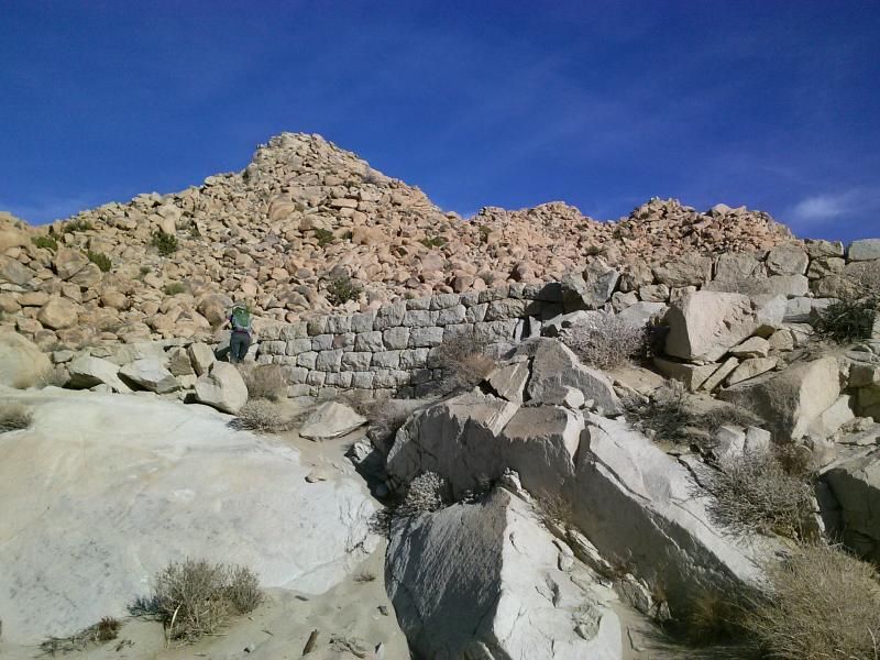
It seems this rock wall was put in place to keep sand from accumulating on the tracks.
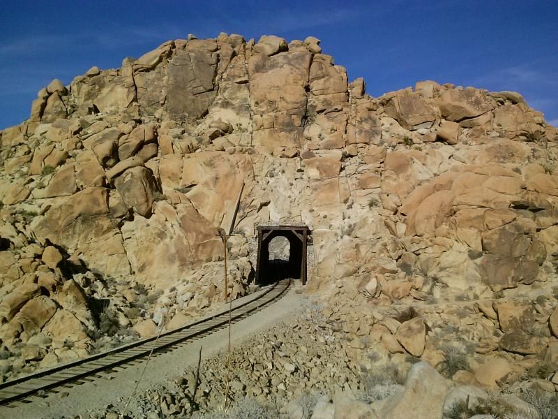
 Just before reaching this tunnel, we cross into a valley to explore the remains of the railroad construction dwellings and ancient Native American sites.
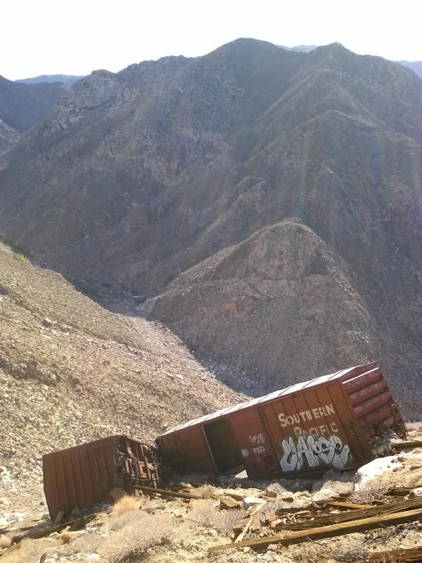
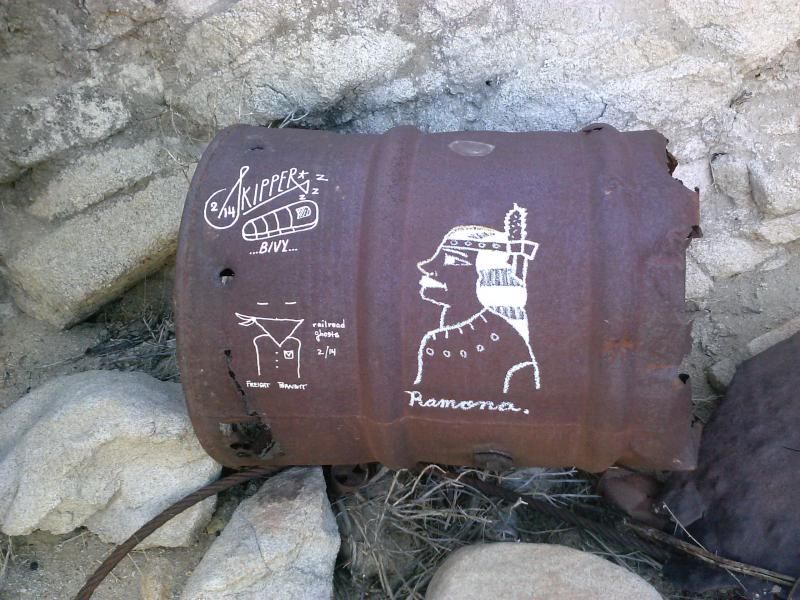
This was the on;y photo I took of some of the graffiti that was all over much of the historic artifacts along the trail. Apparently, the "Freight Bandit" gets around. I don't care about this stuff in the city, but I'd rather not see this vandalism while out in the wilderness.
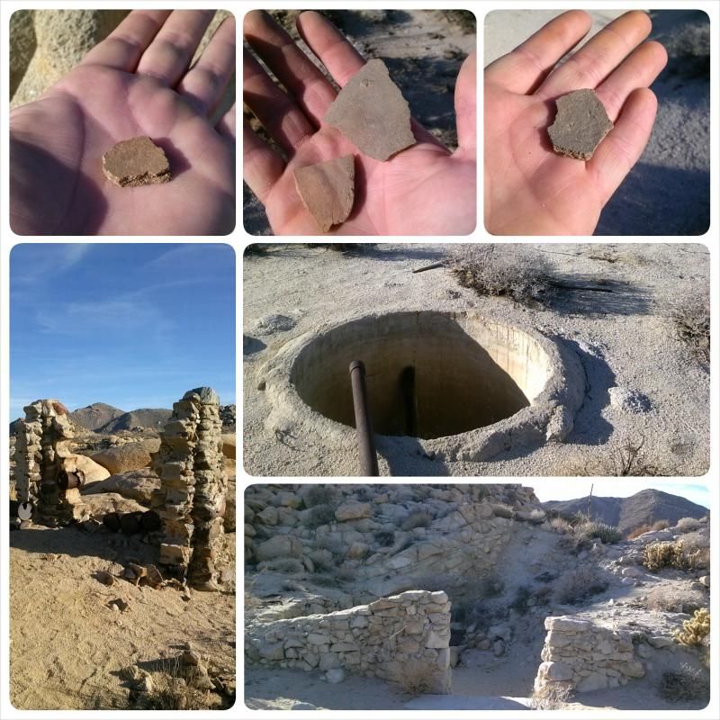
This area, with its abundant pottery shards, is one of the oldest Indian encampments in the park. The ruins of the railroad camp dates back to about 1910. 
Often, there's no trail to follow, just cross-country travel.

Indian Hill.
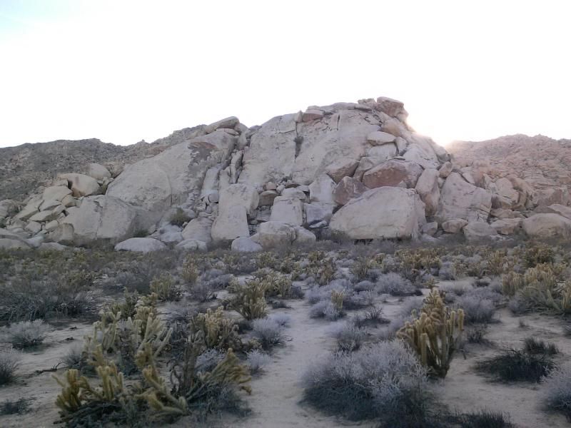
This fire-blacked cave was once part of a Native American village site.
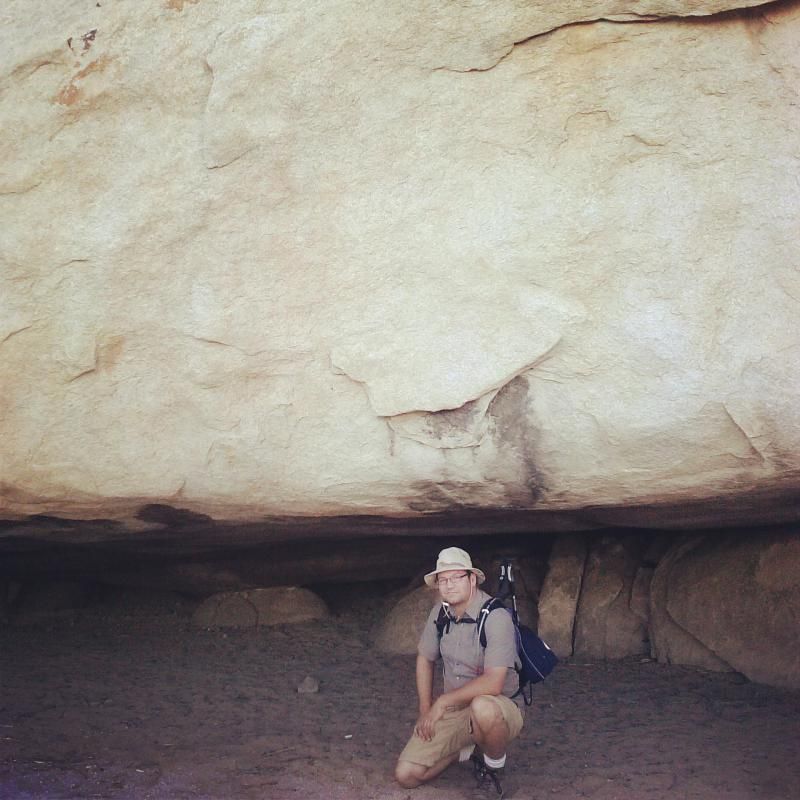
Checking out the cave.
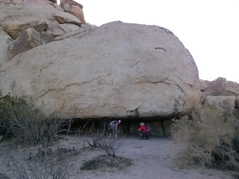
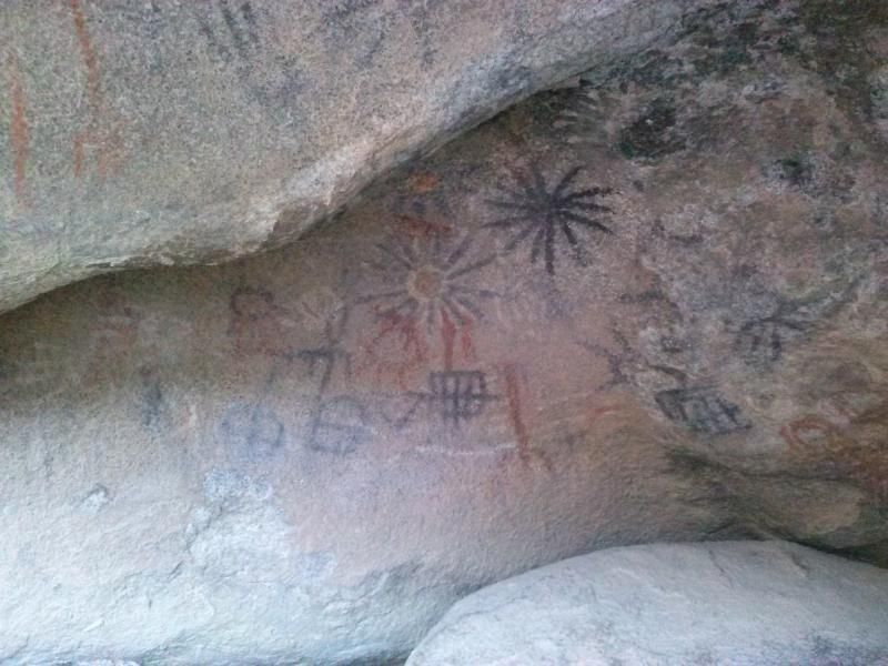
Around the corner is the Blue Sun Cave with its pictographs.
After exploring Indian Hill we started back towards Dave's vehicle, which would take us back to the other's parked at the trail head. By now the sun had slipped behind the hills and we were treated with a beautiful desert sunset.
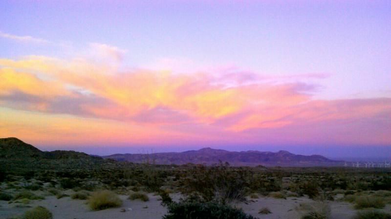
A big thanks to everyone who came along on this hike. It was fun exploring the fascinating history of this rugged area with such great company. 

Sunday, December 22, 2013

Carrizo Mountain & Indian Hill


Carrizo Mountain is a hidden gem in our local Southern California desert. The narrow shelf roads up the mountain are only open six months out of the year, from July 1st to December 31st. This provides big horn sheep uninterrupted access into this mountainous habitat. Realistically though, there are only three months out of the year were we humans can recreate on Carrizo Mountain during cooler weather, from October to December. I have on occasion headed up there in my Jeep at night in July and August, but the temperatures still hover in the 90's, even when the sun's down. So I try to spend a weekend out there every December and explore the surrounding areas.  (Above photo by Steve & Tammy.)

On past trips I've searched for petrified wood around Plaster City OHV Area, and explored the ancient fossilized shell beds and historic sites of the Yuha Desert. Click here for some of my past trip reports of this area: 


After working a short day on Friday I loaded up my Jeep and met up with my friend, Steve and his girlfriend Tammy, in Alpine. My wife and daughter would be staying home, which turned out to be a good thing since they both ended up getting sick. Better to be home dealing with that than out roughing it in a tent. 

Heading up Painted Gorge Road and through Plaster City OHV Area.

(Photo by Steve & Tammy)

Approaching the seasonal closure gate.


With an elevation of 2,408 feet, Carrizo Mountain is the highest point along the Coyote Mountains; a small, rocky range situated at the transition between the higher Peninsular ranges of San Diego County, and the lower Imperial Valley and Salton Basin. A main attraction of this range is Painted Gorge, a mile-long segment of the main canyon where the rocks are colored in various shades of red, pink, purple, green, yellow and ochre. The mountains are located in far-southern California not too far from the Mexican border. The range and summit lies within Imperial County, abutting the Anza-Borrego Desert State Park.
(Photo by Steve & Tammy)

Old mining road winds through Painted Gorge and up into hills to a turn-around about 300 feet below the summit. The badlands and OHV Area below the range extend many miles north and east, and are popular with the off-road racing crowd. It seems few ever venture into Painted Gorge and along the narrow, rocky shelf roads up the mountain.


Although its not too far from civilization, it feels like you're in the middle of nowhere. Its a stark desert, and very peaceful. The mountains feature no significant vegetation other than ocotillo, barrel cactus, creosote and shrubs. Wildlife includes the Peninsular Bighorn Sheep and in warmer weather, snakes.

We arrive to our site a little ways below the summit and begin setting up camp before the sun sets.

 We spend some time around the campfire before turning in for the night. Since we're camped on BLM land and not Anza-Borrego Desert State Park, we don't need a metal container for our fire.

Up early for the sunrise.


My home away from home for the weekend.

Heading down the mountain to check out the Kumeyaay rock art pictographs at Indian Hill in Anza-Borrego Desert State Park.

Of course, we have to take the scenic route along the old 1915 CA 80 Highway...

...and under Interstate 8, along the railroad tracks.

Passing the unsightly wind farm,

Approaching the old Dos Cabezas railroad siding, we came upon mountain bikers, motorcyclist, 4X4's, and other hikers out enjoying the day.


Approaching Indian Hill. I had first heard about Indian Hill and the Blue Sun Cave in Jerry Schad's book Foot & Afield In San Diego County, as well as on a few online forums and blogs. However, I couldn't really find precise directions to the site, which was kind of irritating at first. But now that I've been there and experienced the magic and beauty of this amazing place, I think its a good thing that some effort is required to find it.

Check out these sites for more information on this area:
Daren Sefcik: Indian Hill
DzrtGrls - Indian Hill Pictographs
The Last Adventurer - The Blue Sun Cave

Three "sun" paintings of various colors including the "Blue Sun" which gives the cave its name.

View from the Blue Sun Cave.

Take photos but don't touch anything as it could cause rapid deterioration of the pictographs.

View from the top of Indian Hill.

The hill was surrounded by hundreds of grinding holes, or morteros.


Fire blackened cave at the base of Indian Hill.

One last look before heading back to the trail head.

Shadow of a desert wanderer.


Heading back up the mountain to our camp site.

On the ridge just above our camp is this memorial marker overlooking the desert.

Below the marker was an ammo box with photos and information on the life and history of Donald F. Haskell. 


A little relaxation was had around camp.

Our friends Mitch and Apryl also came out for the day. 

(Photo by Steve & Tammy)

(Photo by Steve & Tammy)

Another evening was spent around the campfire. 

Egg and bacon breakfast burritos were the first order of business Sunday morning.

Taking in the views.

A side trail below our site lead to a few other overlooks and smaller campsites.


Following Steve and Tammy down the mountain.

Before making our way down, we aired down our tires which made for a more comfortable descent along the rocky terrain. 


(Photo by Steve & Tammy)


Another memorial marker found in Painted Gorge. I wouldn't mind my family placing one of these somewhere for me one day.

Heading out Painted Gorge Road towards Evan Hewes Highway (S80).

Crossing the highway, we stop along the old 1915 road to air up and say our goodbyes before heading west towards San Diego and back into civilization. It was a great weekend spent camping and hiking around one of my favorite southern California desert areas.