Showing posts with label san diego county. Show all posts

Friday, July 17, 2015

Hiking Los Penasquitos Canyon


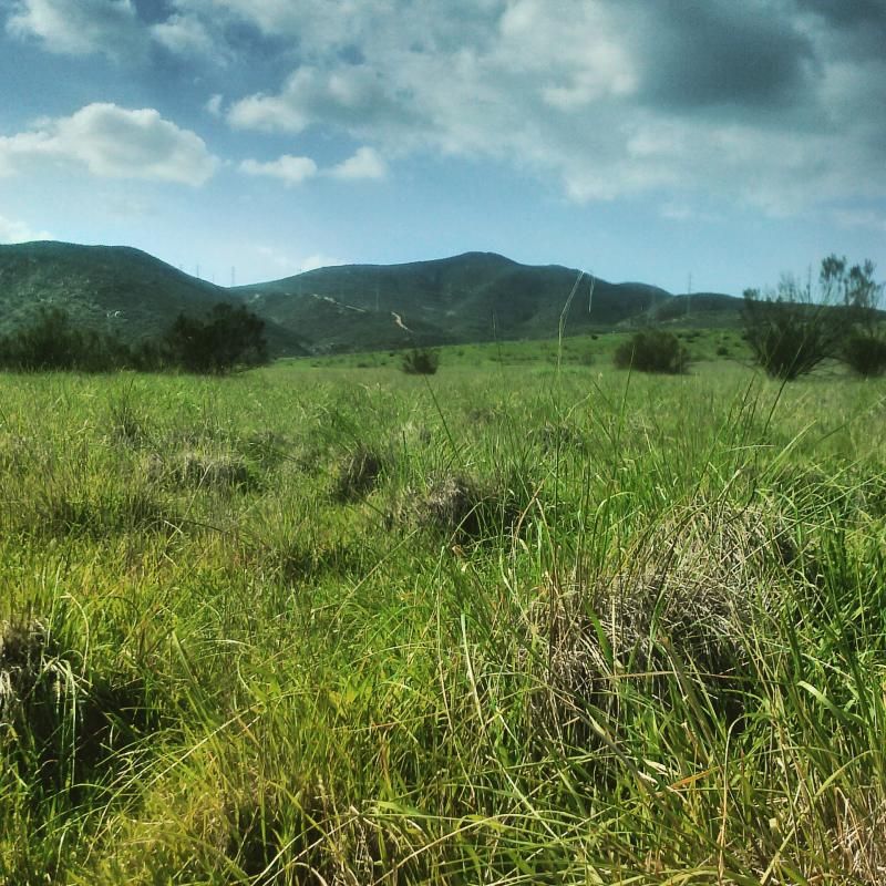
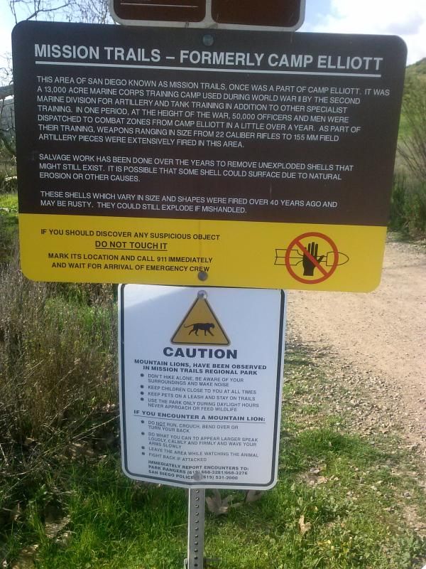
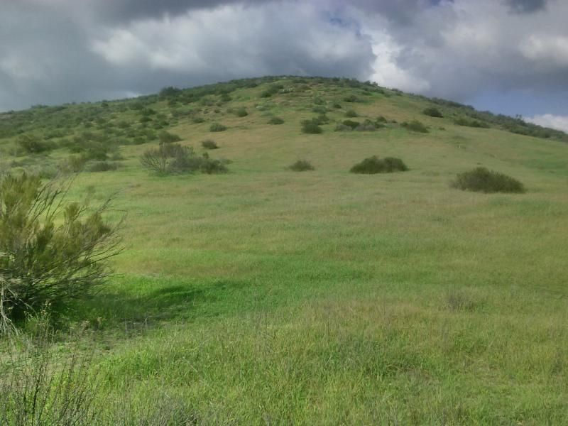
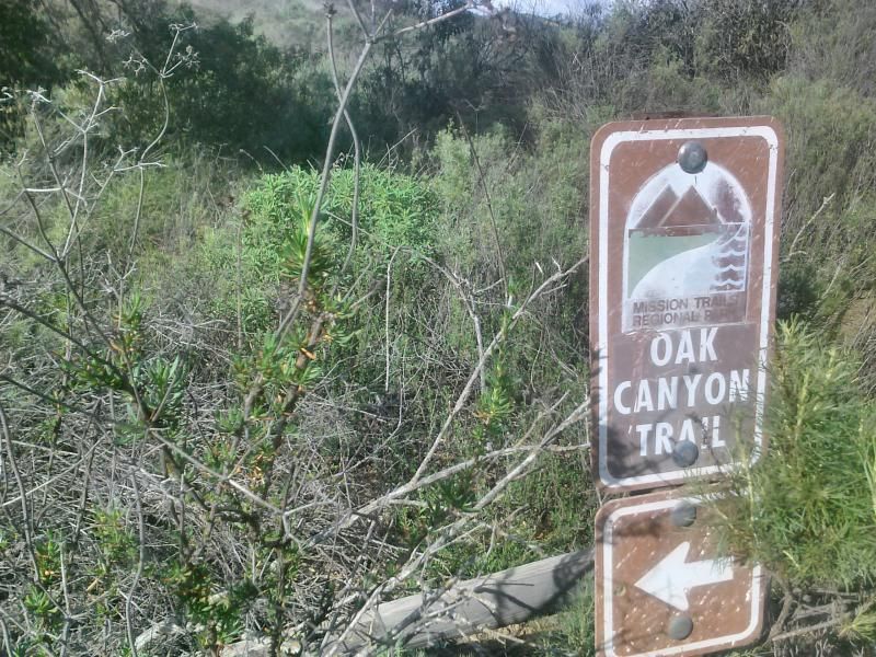
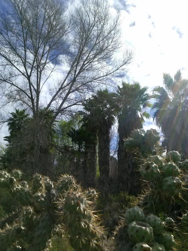
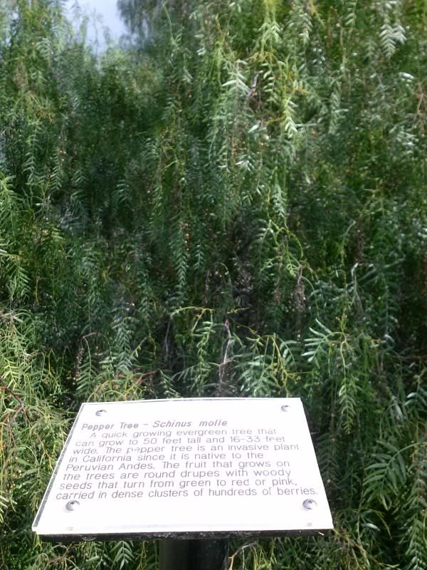
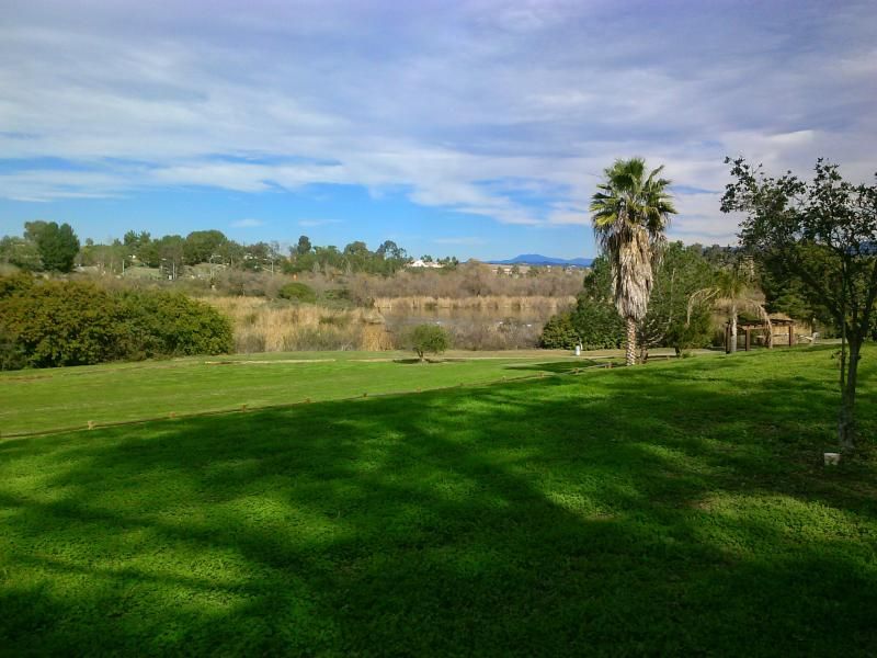
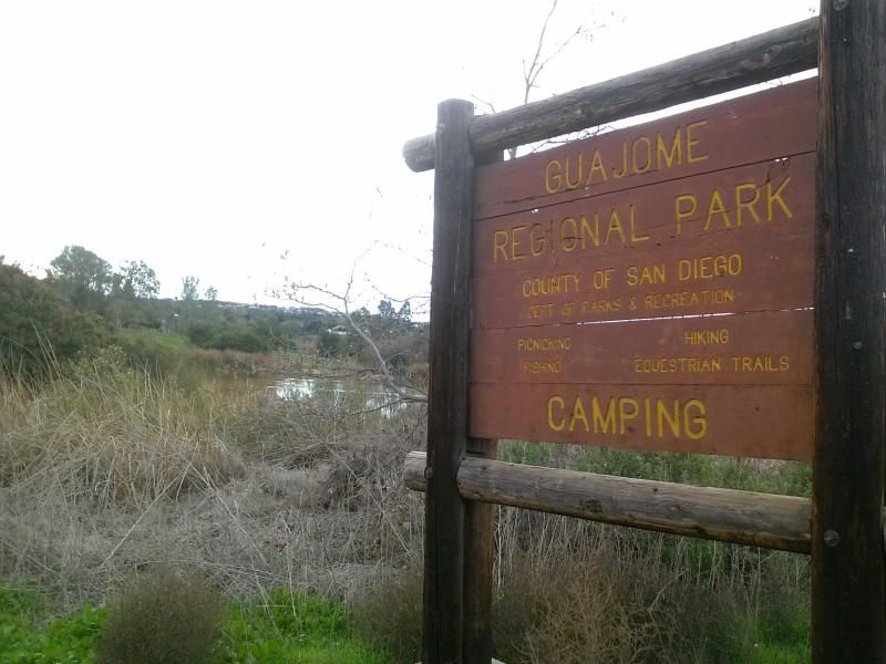
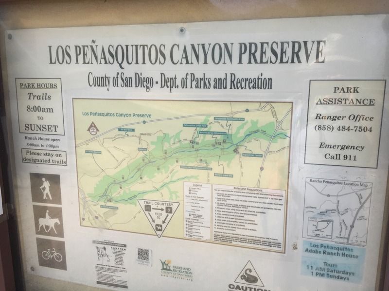
Los Peñasquitos Canyon Preserve is a popular 4000-acre recreational area administered by the city and county of San Diego. It stretches seven miles in length from east of I-15 to the I-5 and 805 merge. It encompasses both Peñasquitos and Lopez canyons and has over 37 miles of multi-use trails. There is a great diversity within the preserve, with 14 different habitat types that support a varied collection of flora and fauna. 


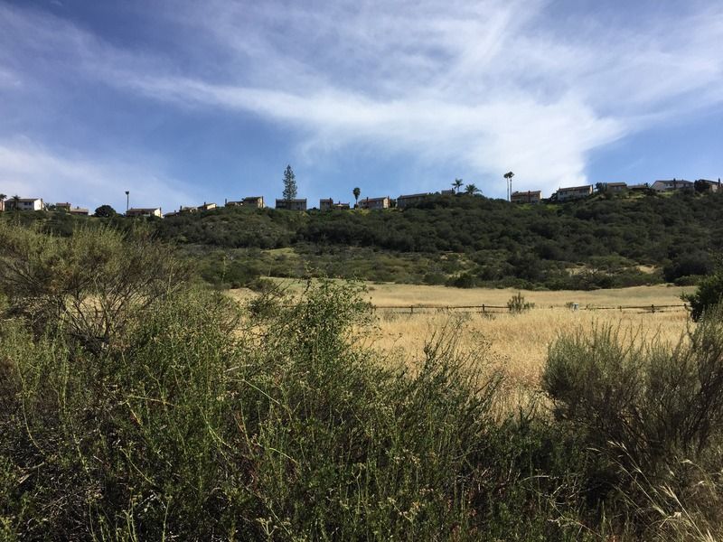
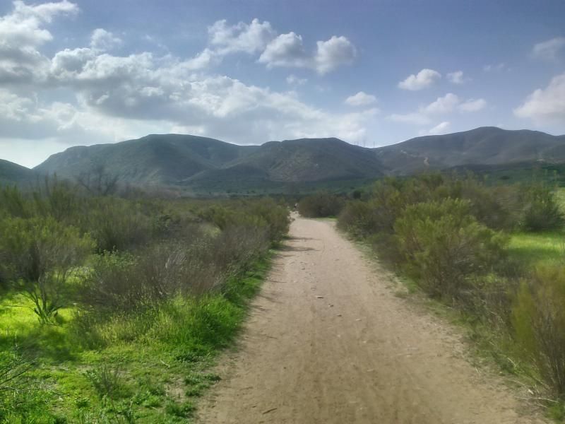
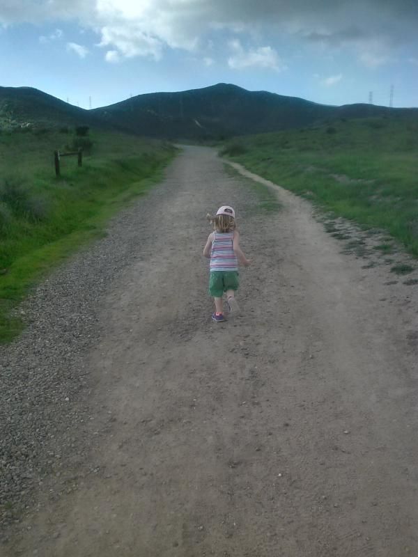
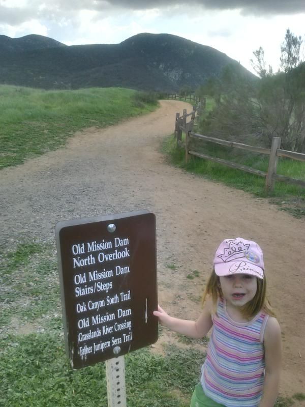
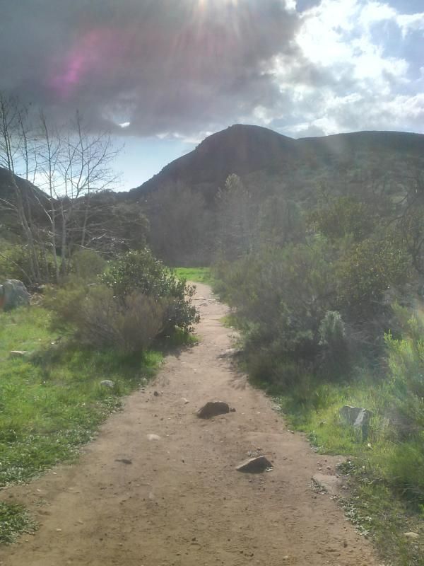
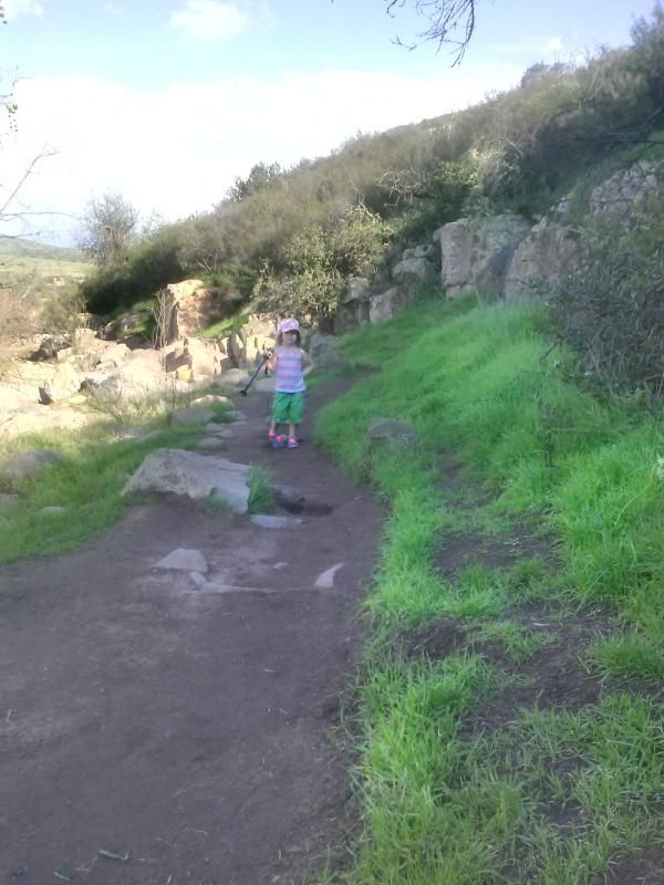
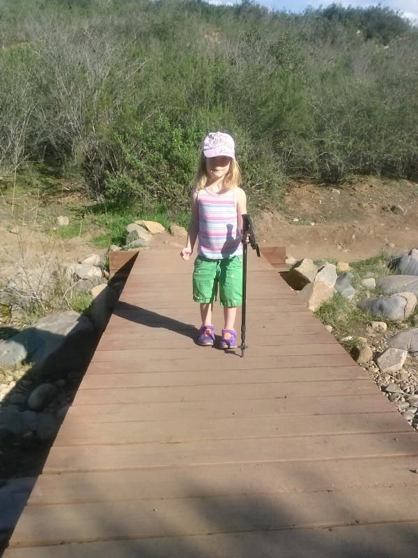
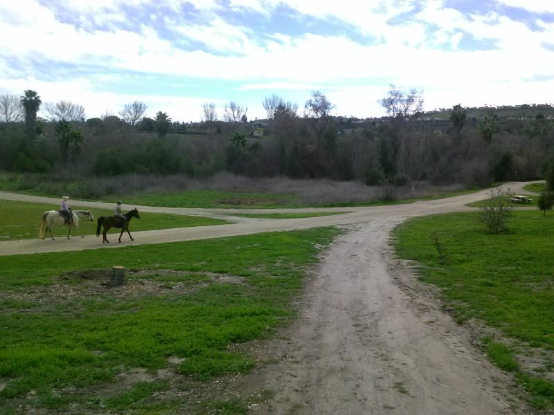
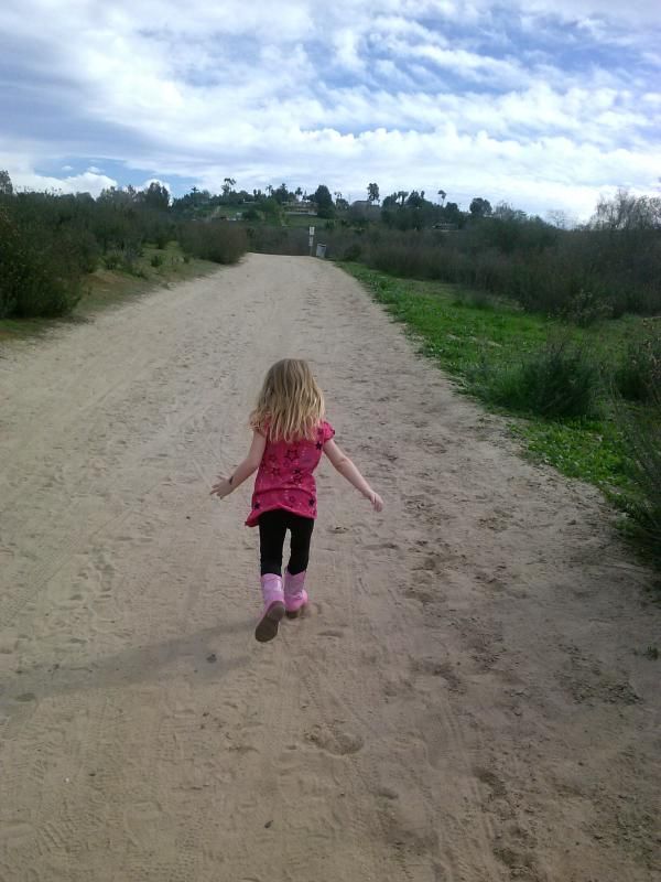
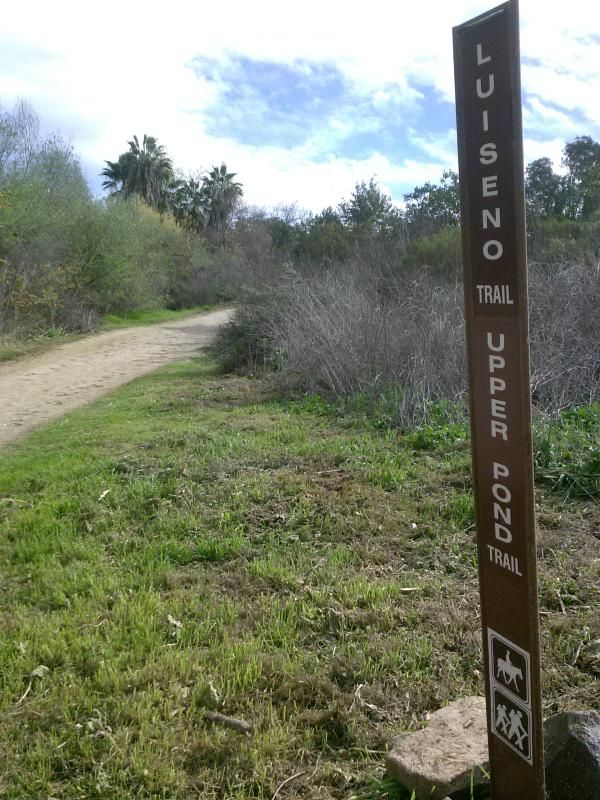
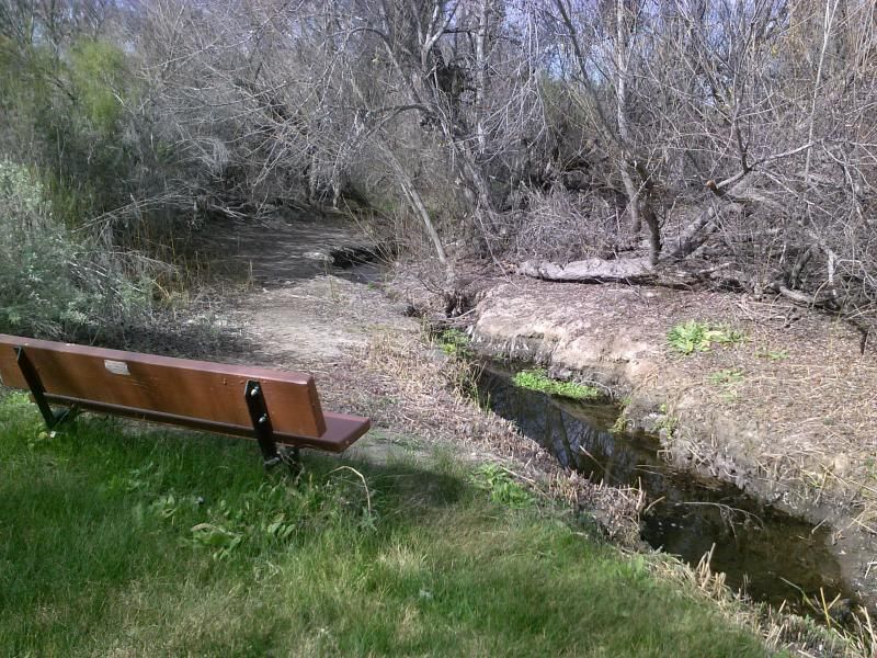
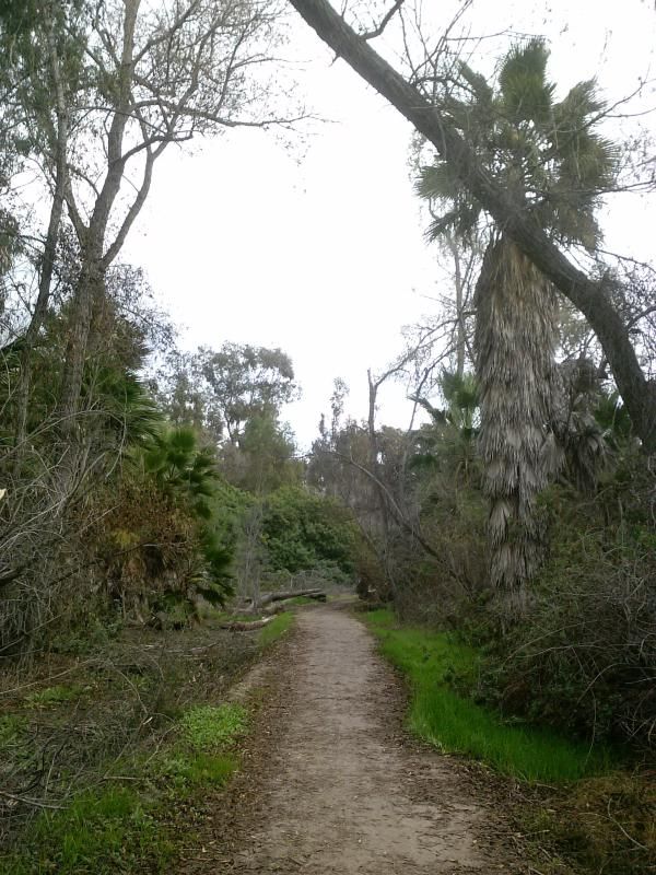
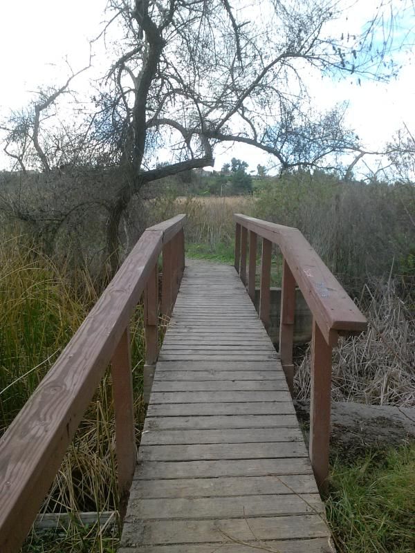
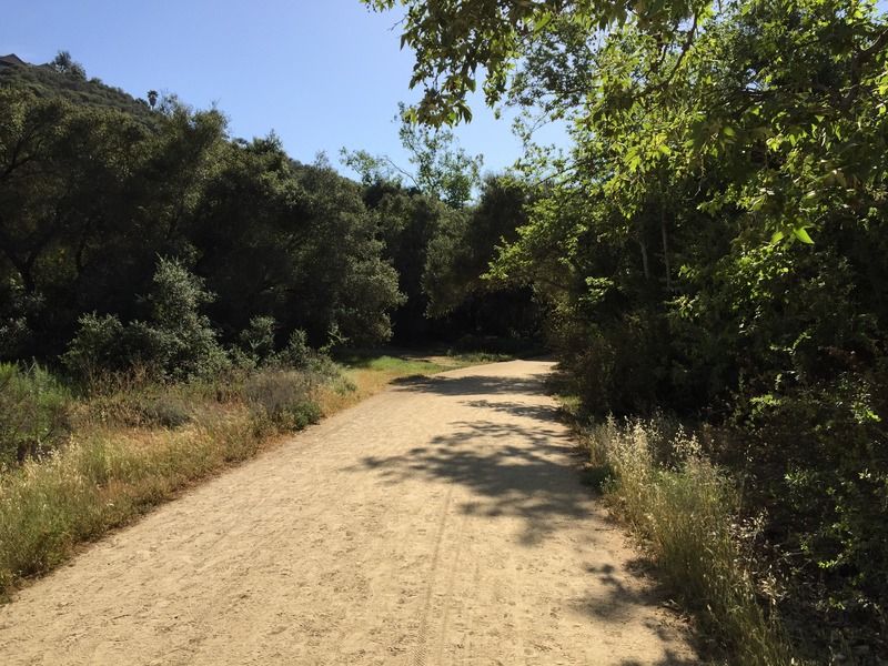
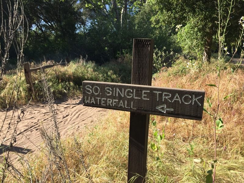
Hike, trail run, or bike all welcome. The trail has minimal elevation so it is suitable for biking or running. It is also family friendly because it is an easy trail. The trail is well maintained and wide enough for large group of people to walk or hike together. Majority of the trail to waterfall is not shaded.  Other than the main trail, there are also many side trails available throughout the canyon. You will feel you are out in the wild when you are at Los Penasquiots Canyon even though its located in urban San Diego County. This post describes the eastern (and more lush) portion of the canyon, which divides at a waterfall about halfway through the preserve.


 Los Peñasquitos (“the little cliffs”) was the first land grant in San Diego County. Rancho Santa Maria de Los Peñasquitos was granted to Francisco María Ruiz in 1823 and encompassed 8,486 acres, which is now the communities of Mira Mesa, Carmel Valley, and Rancho Peñasquitos. The original adobe ranch home is located within the preserve and is open for tours on weekends. The area has archaeological sites with artifacts found showing that indigenous people lived here for over 6,000 years.


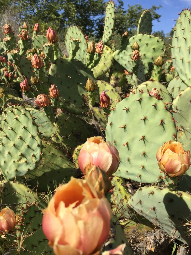
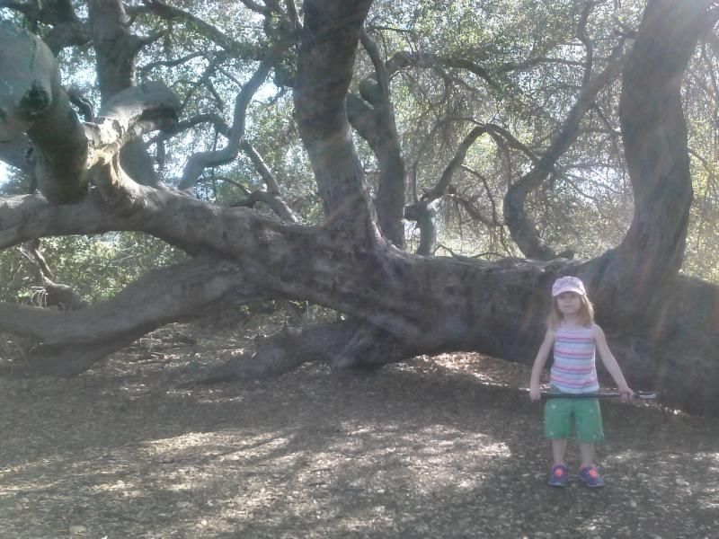
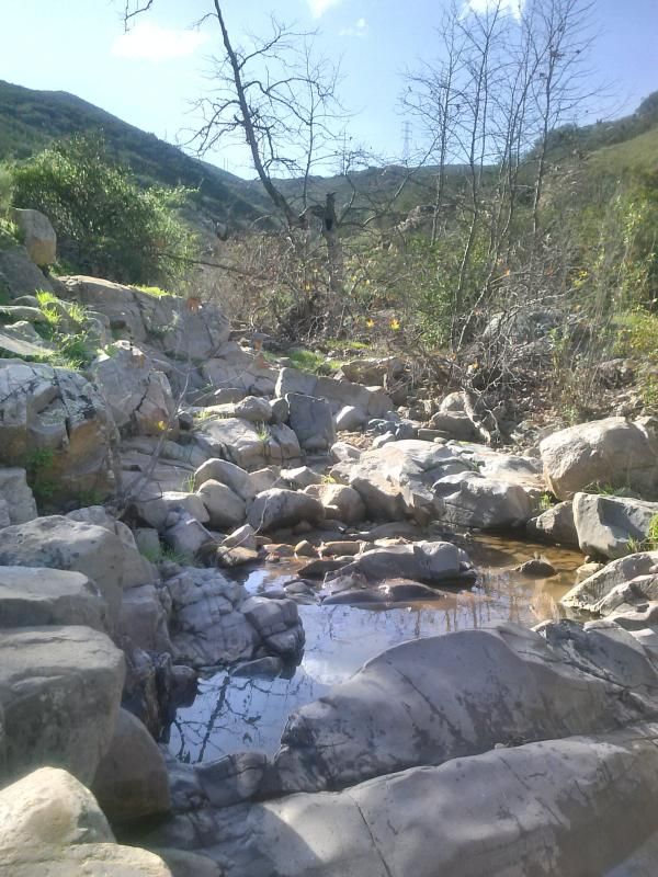
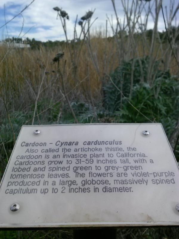
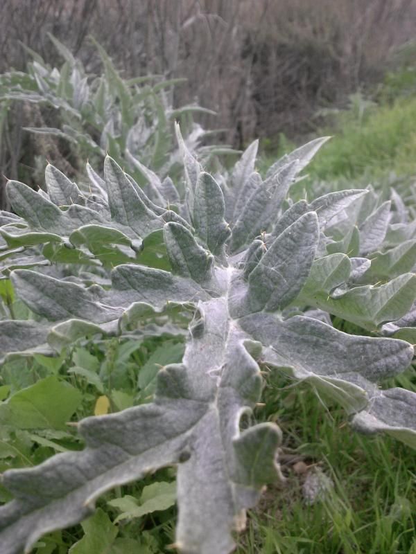
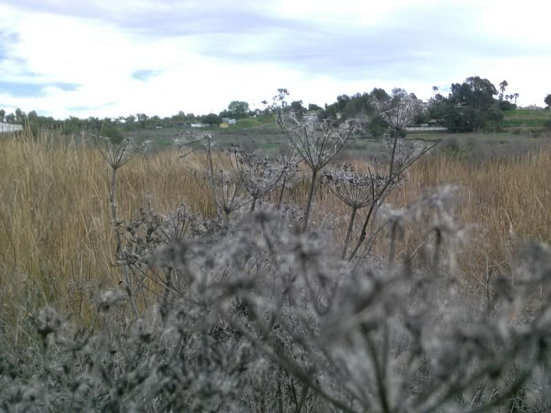
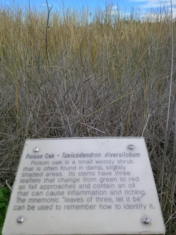
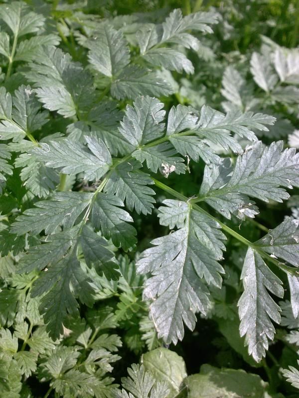
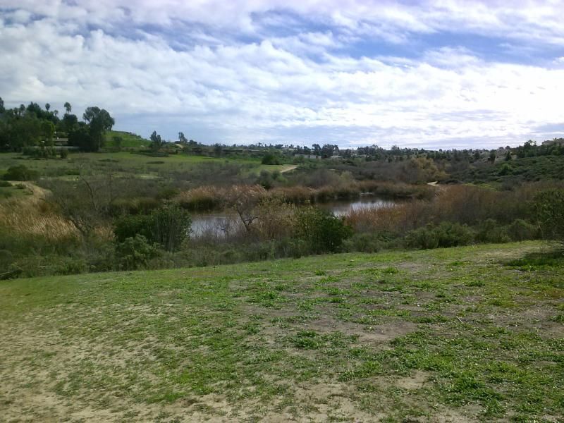
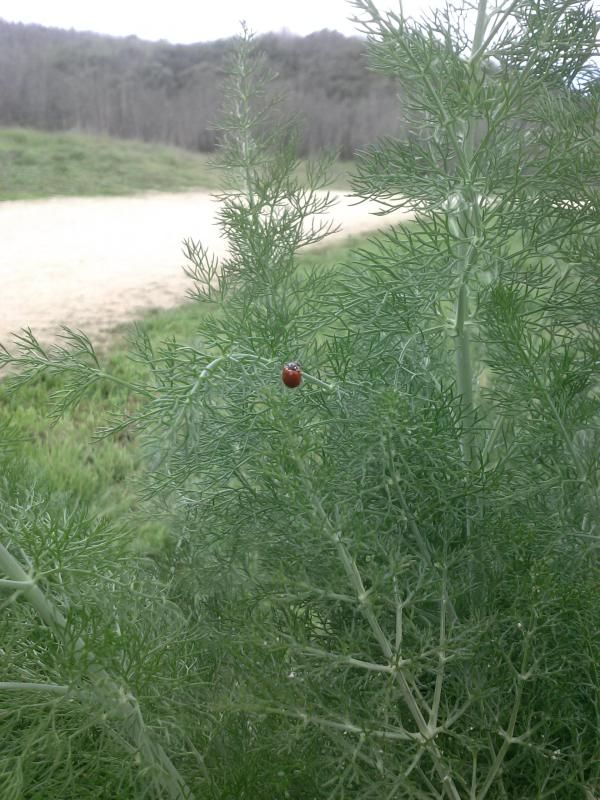
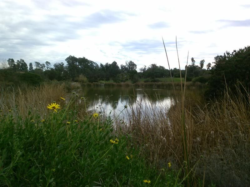
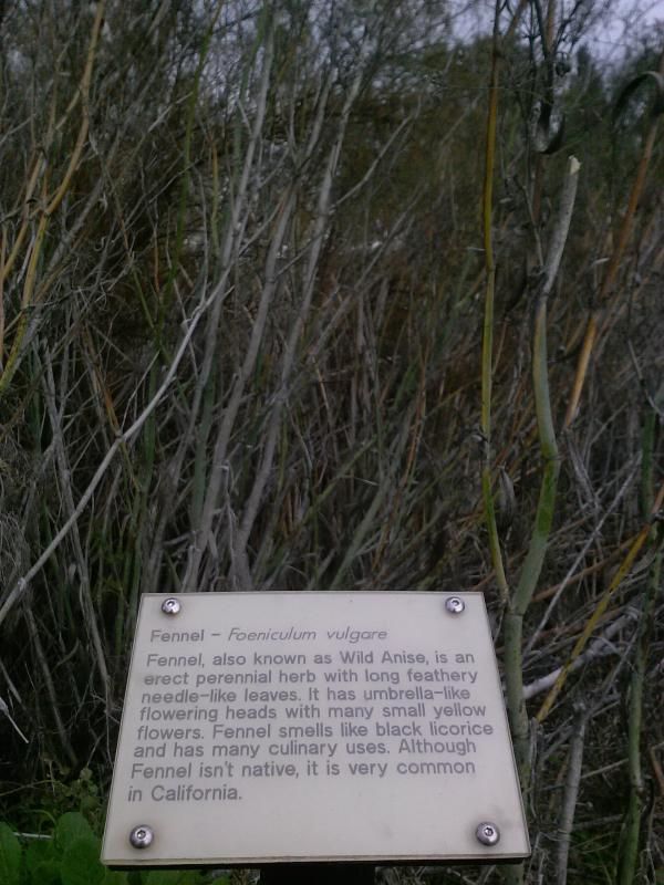
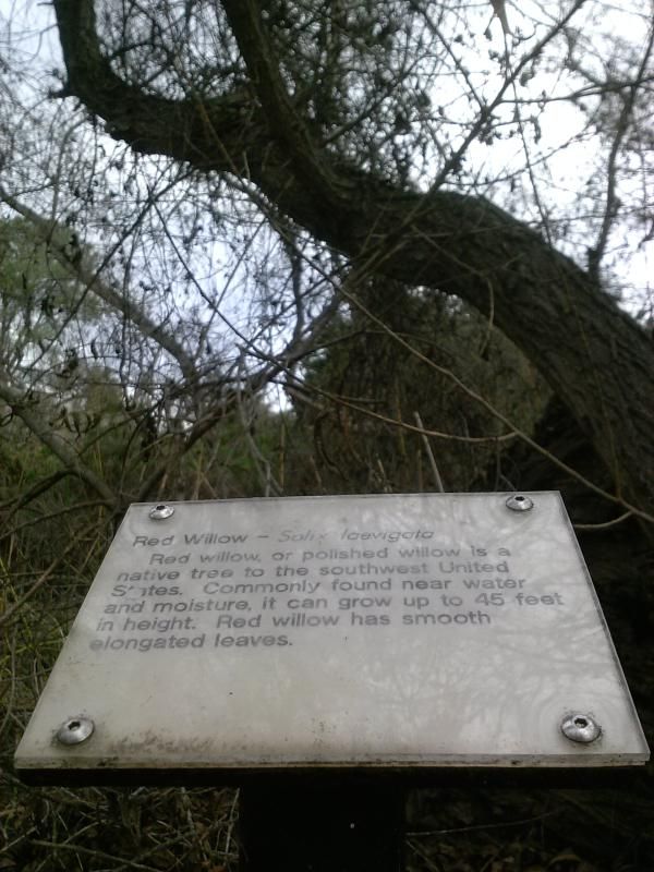
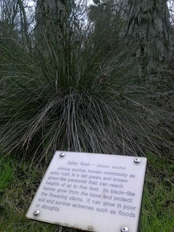
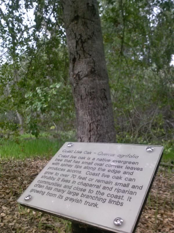
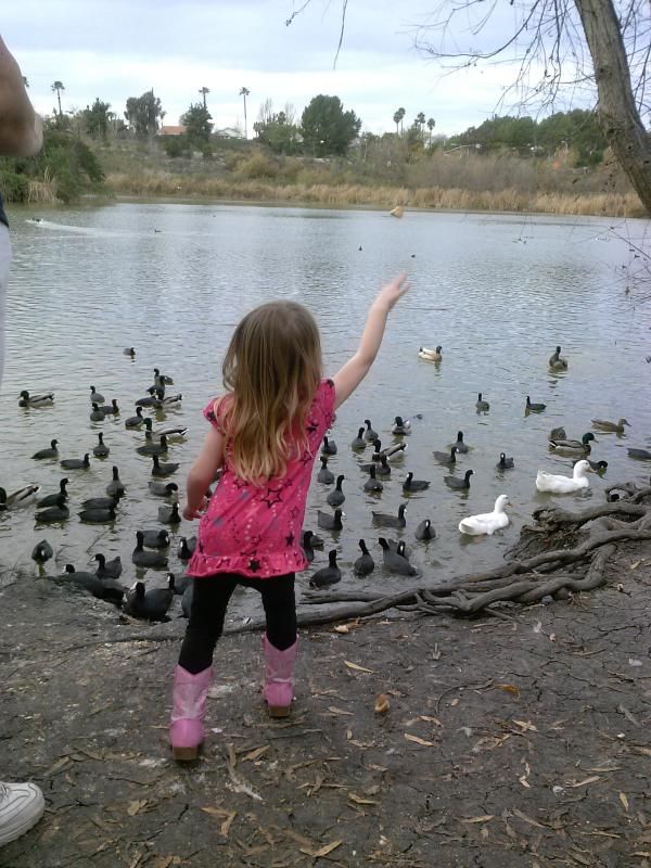
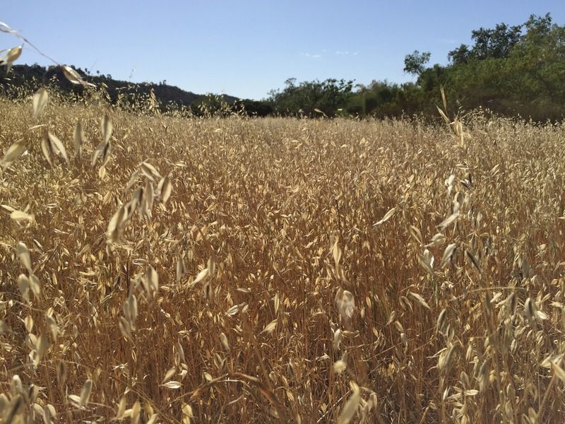
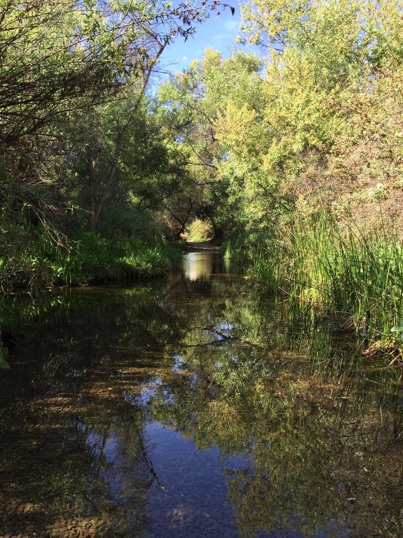
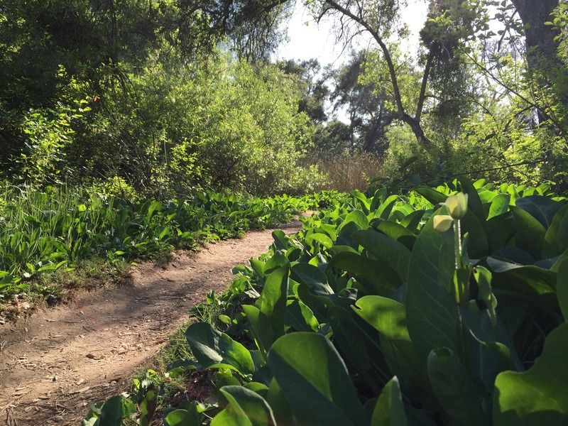
Peñasquitos Creek, which flows year round, runs through the heart of the preserve. Scenery includes a streamside forest of coast live oaks, groves of majestic sycamores, a fresh-water marsh, and a fresh-water pond that attracts great blue herons, egrets, mallard ducks, and more. There are mule deer, bobcat, coyote, and raccoon.


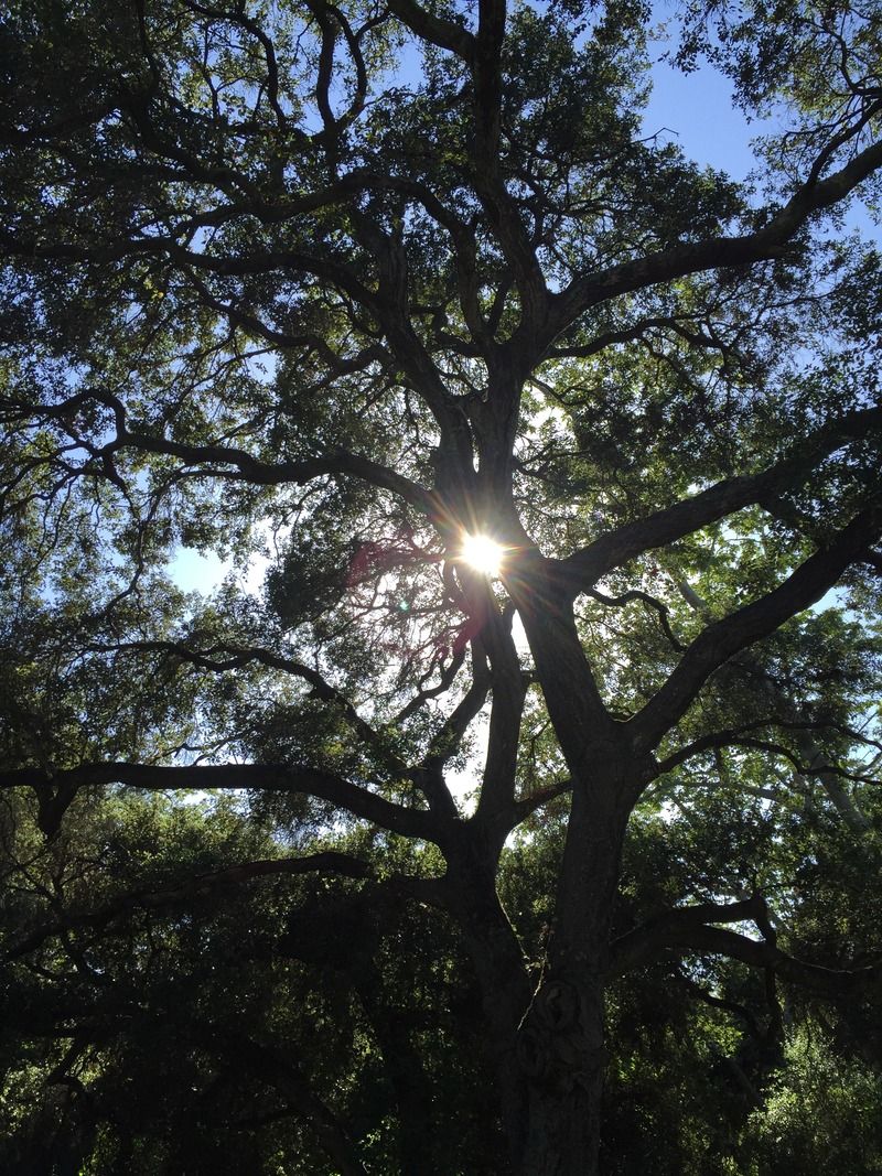
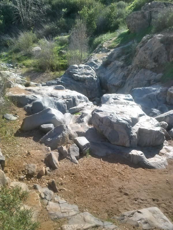
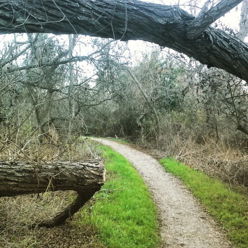
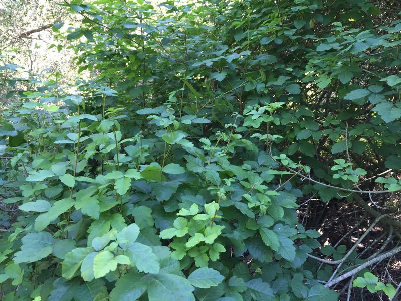
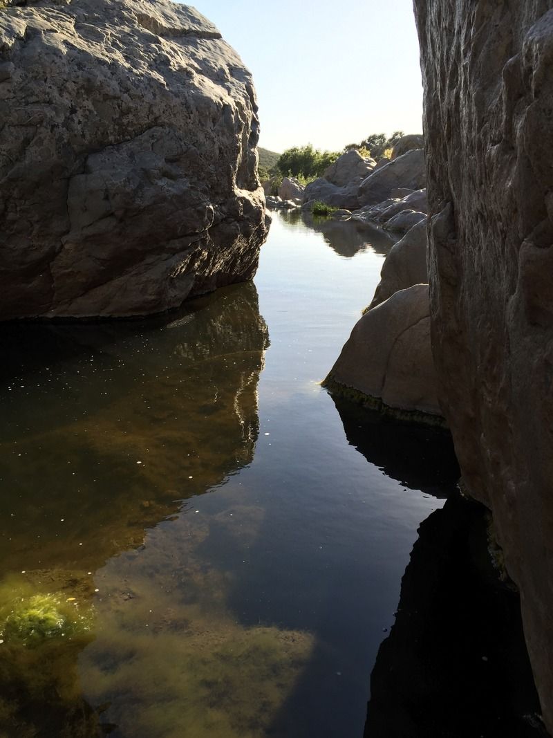
This trail is unique in that it gives you a chance to hike under a canopy of scrub oaks that make you feel as though you are in a tunnel. The waterfall is a delightful location to get your feet wet or have a picnic. There is water here year round. It is a little bit of a challenge to cross the creek here, but if you are surefooted, it is definitely a possibility.


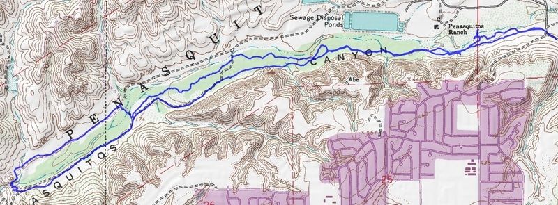
Overview of my route.


Sunday, February 1, 2015

Grasslands Loop to Oak Canyon | Mission Trails Regional Park


Oak Canyon, a sycamore and oak lined ravine tucked into a pristine corner of Mission Trails Regional Park just west of Santee, is a nice easy trial that crosses paths with tons of other trails and offers some wonderful scenery. It really comes alive with a thin stream of gurgling water after some decent seasonal rains. There is a waterfall close to Highway 52 as you make your way to the Northern part of the tail. Unfortunately, most of the creek was dry on this outing. While we've had a bit of rain here in San Diego that has led to the appearance of thick carpets of green grass, the beautiful displays of annual and ephemeral wildflowers has not yet arrived.

Father & daughter shadows, about to embark.

Important signage at the trail head, located at the far west end of Mast Blvd in Santee.

This daddy/daughter hike from the grasslands loop to Oak Canyon falls was a great way to spend a Saturday afternoon (even though I had to carry her on my shoulders on the way back) and made for the 9th hike for my participation in the ‪52 Hike Challenge‬.

I was happy to see how green everything is, but we still need more rain out here in the West. Unfortunately, when this all dries out in the summer, it'll make for lots of fuel for the fire season.

She was more than happy to run ahead and fill her pockets full of rocks along the way.

Most of the trail intersections are well marked with info on what's up ahead.


The Oak Canyon area is popular with hikers and mountain bikers, though bike riders are confined to dirt roads running along the canyon rim. Only hikers are allowed on the trail running through the most scenic, narrow section of the canyon.

I'm still wondering how Oak Canyon got its name...

We'll have to return to this trail when the creek starts flowing again.

Once you drop down into the canyon and the oaks, you can no longer see and almost not hear any of the sounds of civilization. It makes you temporarily forget you're near a dense urban area.

There were only a few rocky sections that I needed to help her over.

These foot bridges weren't here the last time I hiked the canyon a few years ago. Looks like they were put in so folks wouldn't have to wade across the creek when its flowing.


Care should be taken here after it rains and the water is flowing. I've seen people air-lifted from here who had slipped and fallen on the rocks.

Just beyond the falls is the Highway 52 bridge.


Here's a fellow adventurer with a great write up on the area: Last Adventurer - Oak Canyon

Check out the Mission Trail Regional Park Foundation site HERE.

Saturday, January 31, 2015

Guajome County Park | Oceanside, CA


A little gem of a park smack in the middle of suburbia that offers hiking, jogging, fishing, picnicking, and camping. My family spent the day here with my in-laws, who were camping. Aside from North County's beaches, not many public spaces for anything resembling true "hiking" can be found in Oceanside or in neighboring Vista and Carlsbad. One significant exception is Gaujome Regional Park, an oasis of open space in east Oceanside. Cookie-cutter suburban homes adjoin the park on the west, while a more gracious and spacious semi-rural aspect of North County's urban geography blankets the rolling hills to the east of the park.

It's $3 for a day parking which allows you in the park up until sunset. They allow dogs as long as they are on a leash and you clean up after them. They offer doggie clean up bags which is nice. There are signs warning of rattlesnakes in the area so keep your eyes open and little ones close in the spring. As long as you watch where you're going and you don't allow your pets to go poking around in brush you should be fine. This area is also popular with horseback riders so just watch out for the land mines that the horses leave behind! There are about 33 camping spots within the area and they have maps throughout the park.


The sites are clean and well maintained.

Guajome Park has a nice mix of wild and civilized features. There's a 4-mile trail system encircling Guajome Lake and  a small pond hidden in a secluded back corner of the park. The park's topography is gentle, making almost all of its trails ideal for jogging as well as walking. Horseback riding is allowed in the park's east half, east of the service road.

Everyone hiked about 2 miles of trail before returning to camp, leaving me to finish up the rest.

I was impressed with the variety of vegetation here.

Audrey was always running ahead to find rocks that caught here eye.


The trails had these little plaques here and there, describing some of the plants and trees in the area.


It was hiding in the reeds.


Jackson was getting a bit too warm in the carrier, so I took him, keeping him in the shade of my body the best I could.

Audrey took advantage of the now empty carrier.


The westernmost trail in the park skirts a freshwater marsh that oozes moisture, even during the driest months of the year. Flanked by willows and cottonwoods and overgrown with cattails and palms, this area exudes a complex mixture of damp odors that you can't often experience around most parts of arid San Diego County.


After my trek, we had lunch and then headed to the lake to feed the ducks. It was a day well spent with family and I was pleasantly surprised to find such a nice little network of trails at this county park.


How to Get There: The Highway 76 expressway going east from Interstate 5 makes it easy to reach Guajome Park from the coast. Exit I-5 at Highway 76 and drive east 6 miles to Guajome Lake Road, past the traffic light at North Santa Fe Drive. We headed North on Interstate 15, West on Gopher Canyon Road, North on E. Vista Way and then West on the 76. You'll pay a day-use parking fee at the main entrance on Guajome Lake Road for the privilege of parking inside. The park's summer hours are 6 a.m. to 8 p.m. Wise visitors intent on exercise tend avoid the midday summer heat - though on many days a cooling coastal breeze sweeps up the San Luis Rey valley and provides natural air conditioning throughout the park.

3000 Guajome Lake Road
Oceanside, CA 92057

Official Site: San Diego County Parks