Tuesday, January 27, 2015

Eagle Peak | Cleveland National Forest


Eagle Peak in San Diego County would mark the fifth outing for my 52 Hike Challenge. Perched among the headwaters of the San Diego River, the summit commands a 360-degree view of the surrounding watersheds. This relatively easy peak can usually be enjoyed in solitude since most of the crowds here head down to nearby Three Sisters Falls. The views of the surrounding area and into Boulder Creek from the top are definitely worth the trip.

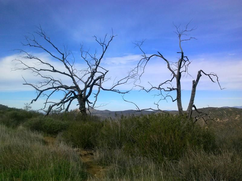
"Standing tall amid lesser bumps on the west slope of the Cuyamaca Mountains, Eagle Peak has a view of the island-dimpled ocean, scattered parts of urban and suburban San Diego, and the higher mountains -- dominated by Cuyamaca Peak -- in the east. Hawks and golden eagles can sometimes be seen soaring on updrafts overhead. A recent proposal, advanced by Cleveland National Forest, aims to close the summit of Eagle Peak (plus two or three other county summits) to all visitation during the cooler months to encourage the nesting of birds of prey. This controversial proposal has not yet been implemented, but if it is, a visit to Eagle Peak during the prime hiking season -- winter and spring -- this year or maybe next, may be your last chance to do so." -Jerry Schad, Afoot & Afield In San Diego County


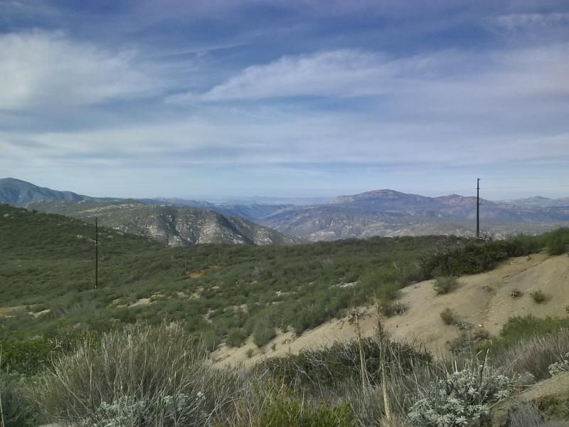
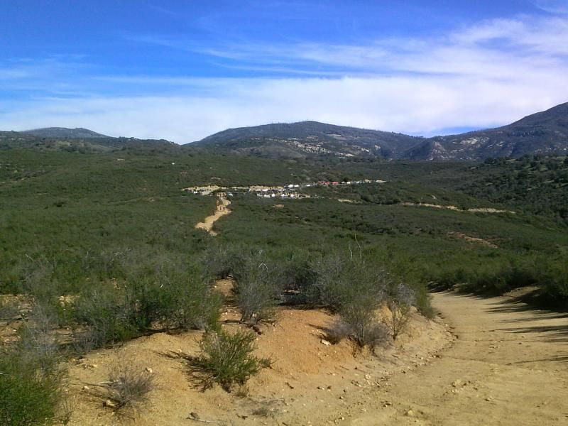
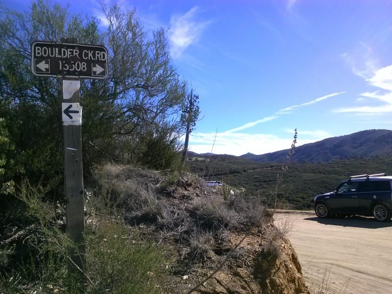
I always enjoy the view of San Diego's backcountry along Boulder Creek Road.

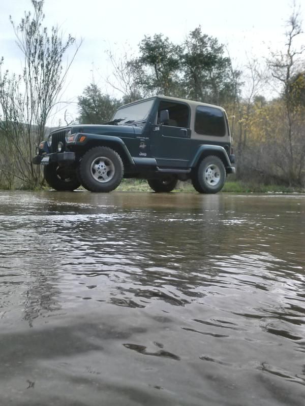
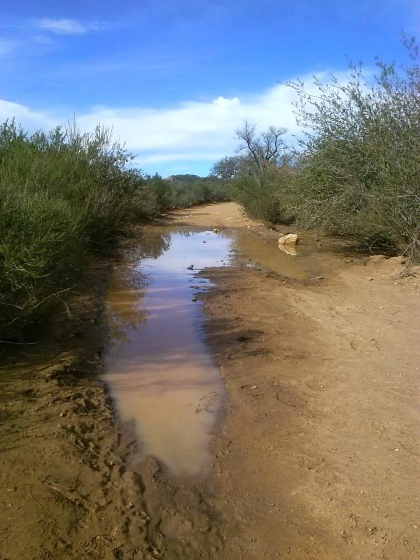
We've been in a bad drought, so I was happy to see water flowing across the Boulder Creek crossing here.

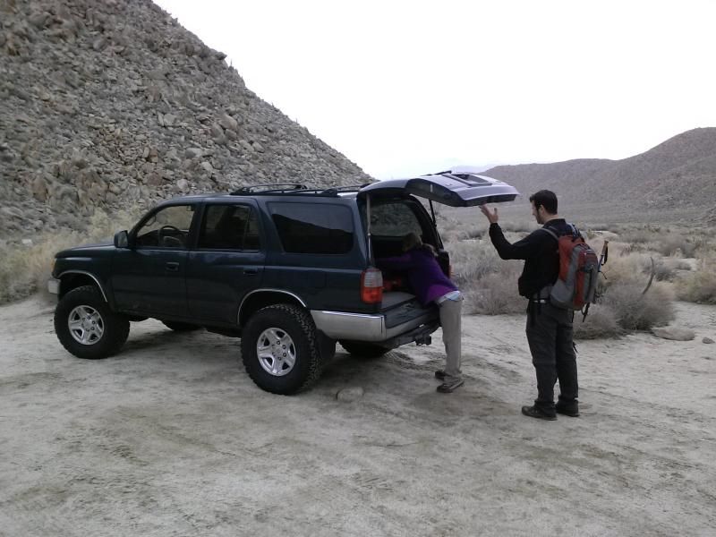
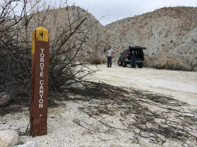
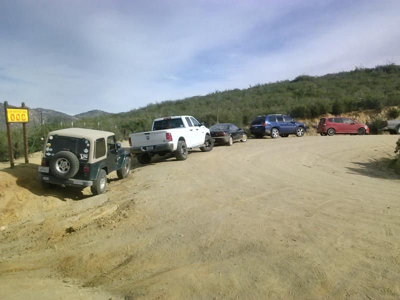
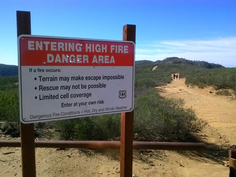
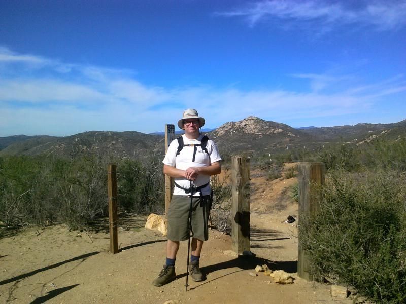
To say that the trail head was crowded would be an understatement. I've never seen more than 5 vehicles parked here... on this day there were around 30... even more when I finished.

From the parking spot at the hairpin turn in Boulder Creek Road, I followed the remains of an old ranch road due west for 0.7 mile to a saddle and trail junction, where a side trail to Three Sisters Waterfalls descends to the left. If there's been any recent rain, you can hear the sound of the falls, which lie beyond the next ridge to the south and down in the gorge of Boulder Creek.


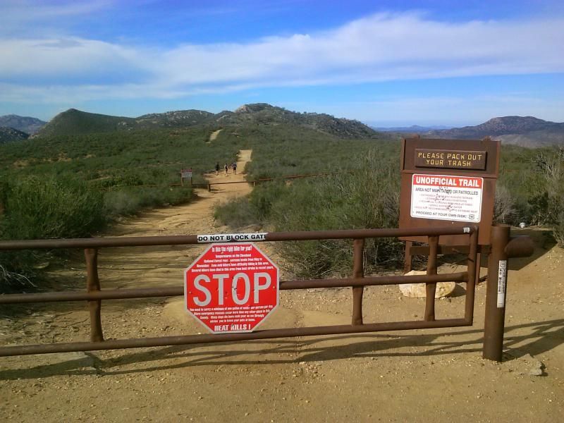
I was bummed to see the gate to Cedar Creek Road was still closed. The forest service will usually close it when it rains.


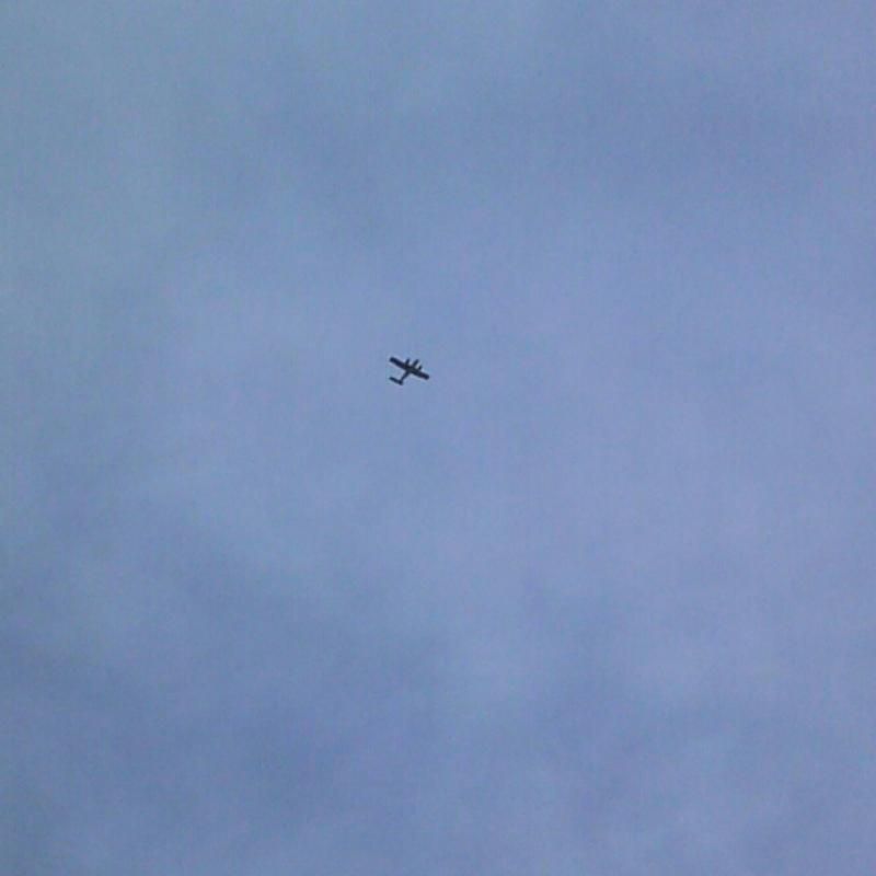
There were quite a few planes flying overhead.

A little leftover mud from the recent rains.

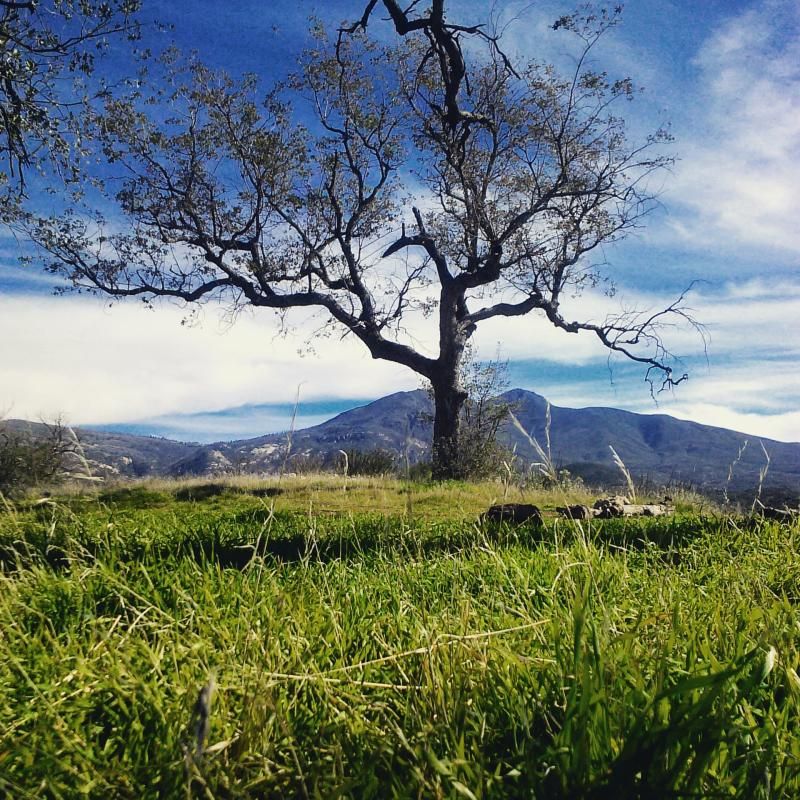
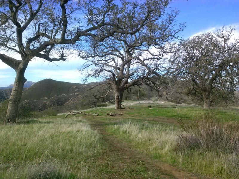
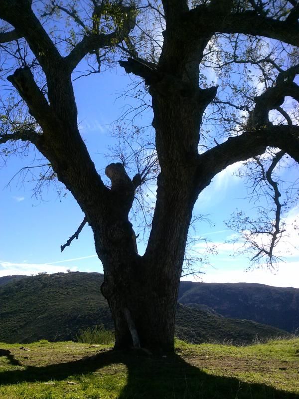
This little grassy, oak-shaded area would make for a nice picnic.


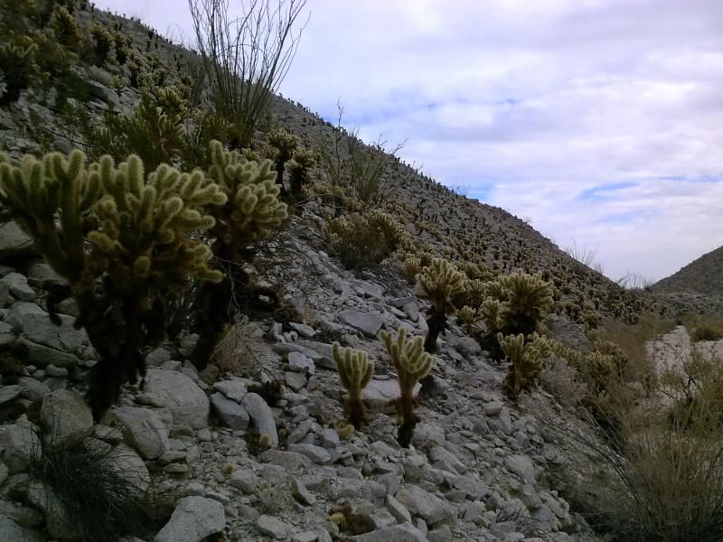
Three Sisters Falls in the distance. The trail for this breaks off to the left up ahead.

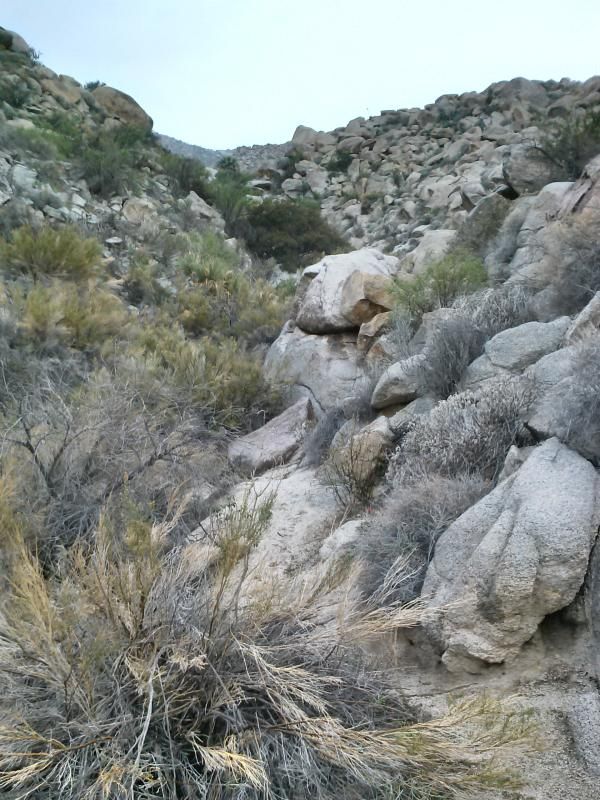
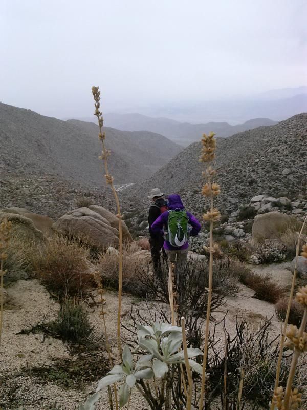
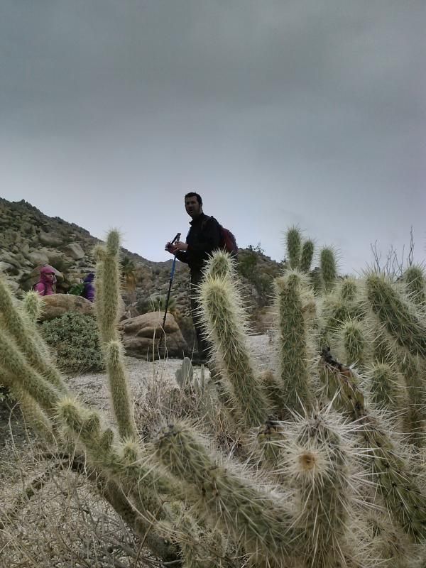
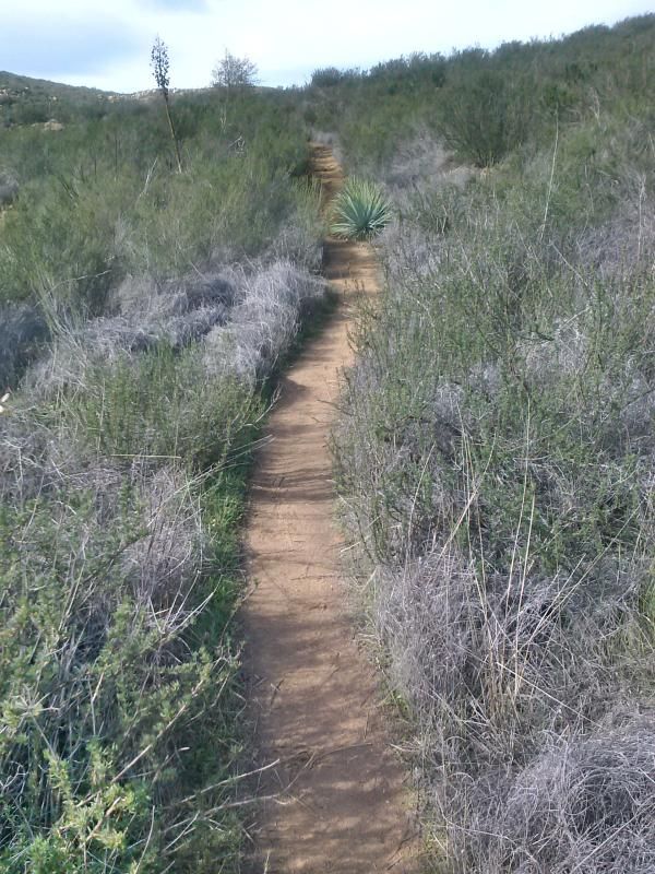
Saving the trip to the falls for another occasion, I press on, climbing west along a brushy hillside for about another half mile.

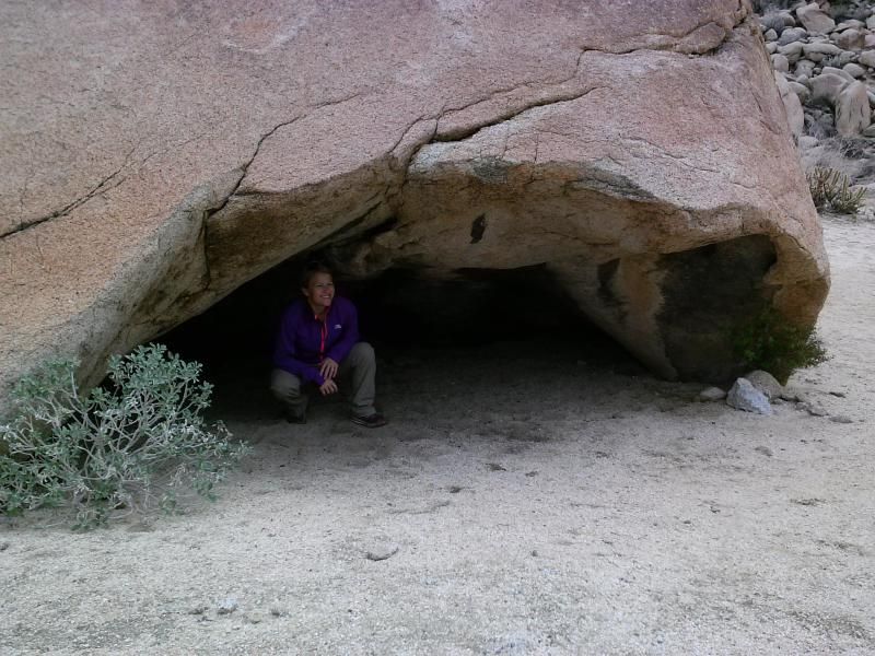
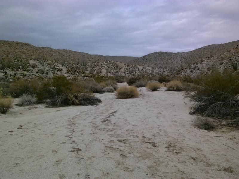
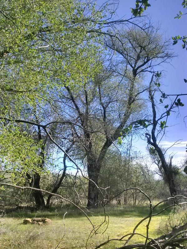
I soon start descending into a vale shaded by live oaks. After a bit of descent on an increasingly poor trail, I noticed a shallow draw to the left (on ahead lies a pond, and possible sites for trail camping, such as this one I came across). 

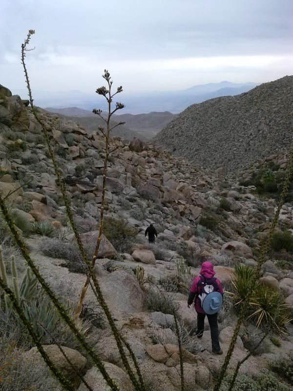
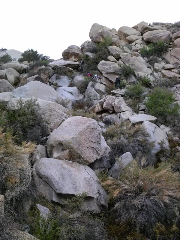
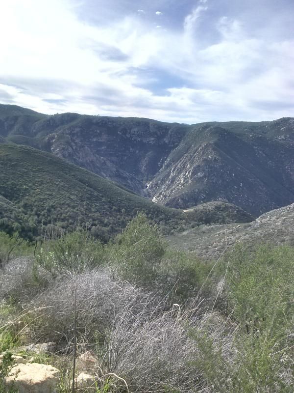
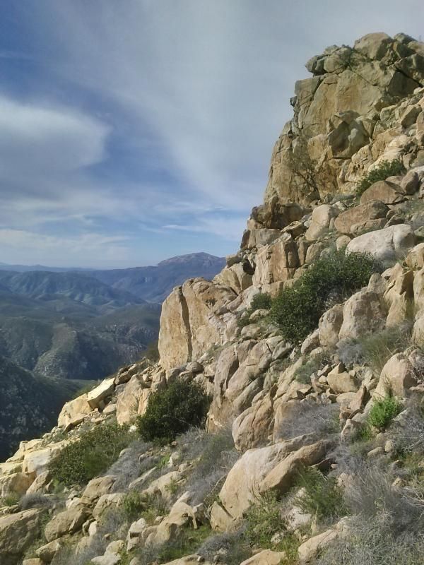
Leaving the trail at this point, I work my way southwest, through brush and over boulders, to the ridge some 300 vertical feet above. Once atop the boulder-strewn ridge line, the view opens up to a heart-stopping dropoff to the south. Peering over the edge, I could see a silvery thread of water making its way amid the tree-lined gorge of Boulder Creek.

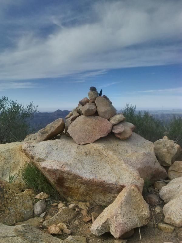
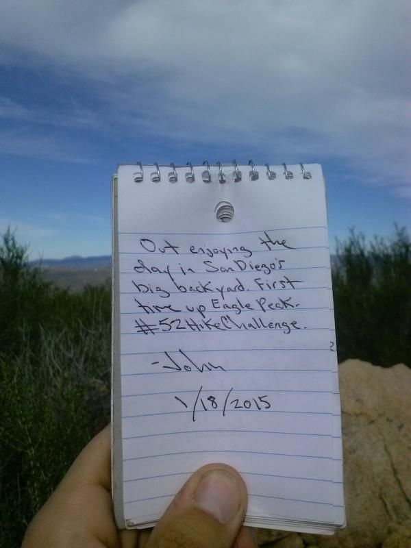
Eagle Peak's true summit, with a hiker's register on it, lies about 0.2 mile farther up the ridge, beyond a couple of false summits.


Obligatory, vertigo-inducing drop-off shot on the south side of the ridge.

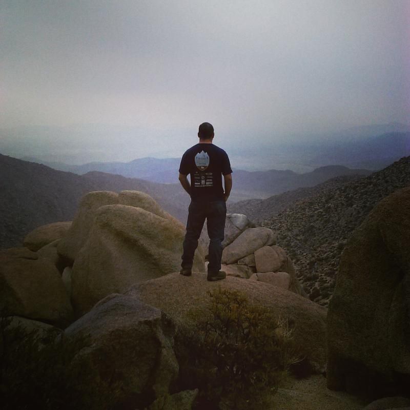
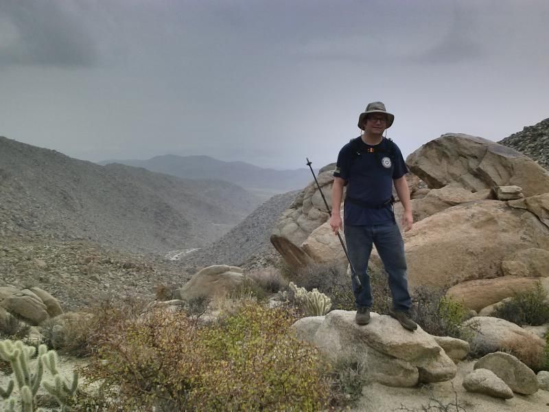
Reaching the summit.

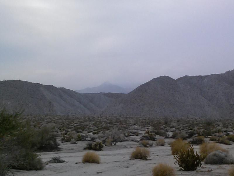
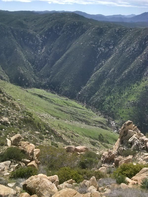
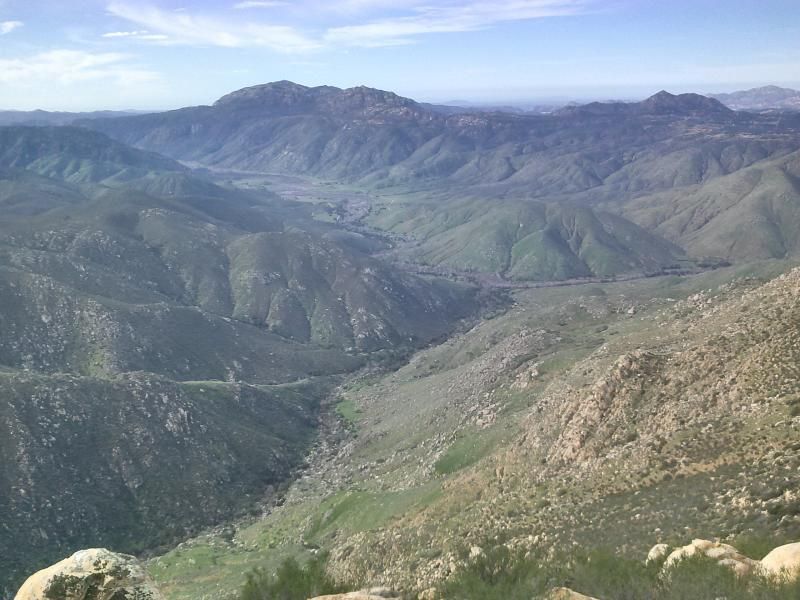
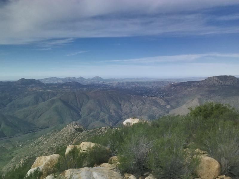
Boulder Creek & San Diego River junction with El Capitan Mountain in the distance.

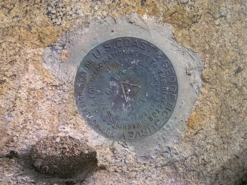
A benchmark dated 1959, threatening a $250 fine or jail time for disturbing it.

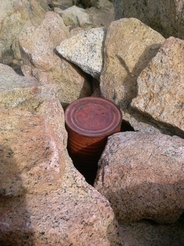
The summit register.

After leaving a note, I took in more of the surrounding views before heading back.

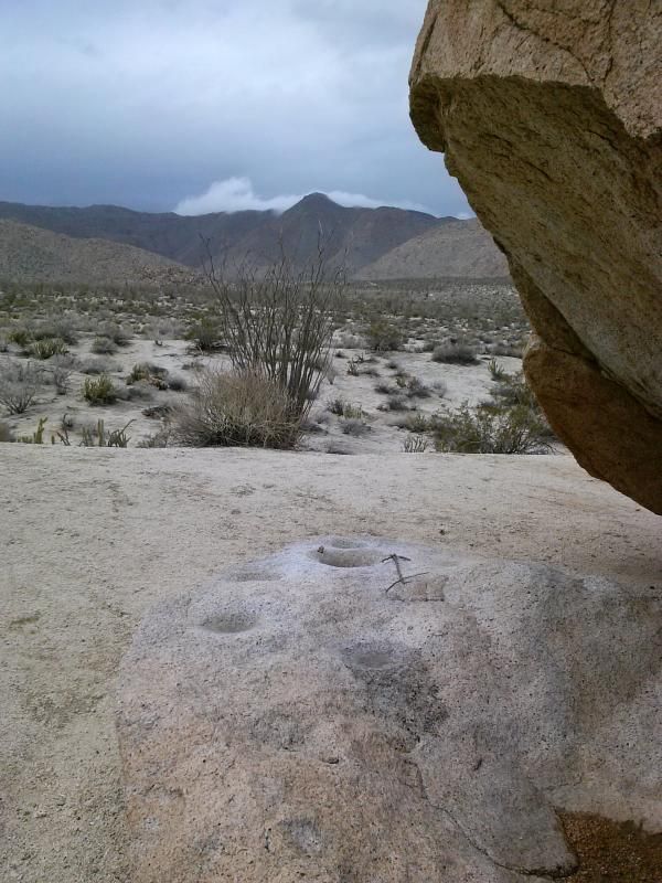
 Ramona’s Four Corners area and the other trail leading down to Cedar Creek Falls in the distance.
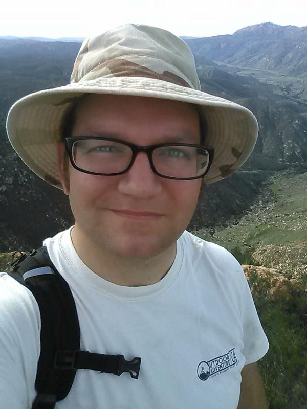
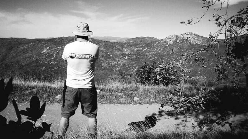
Summit selfie!

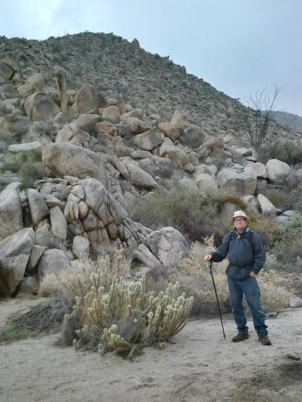
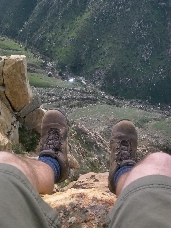
Taking a little break on the way back.


Messing around with my camera-phone.

More vehicles parked near the trail head. The vast majority of the crowd here was heading to the falls. I was glad to have the summit all to myself.
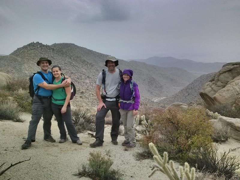
Some mountain bikers were nice enough to take my photo.

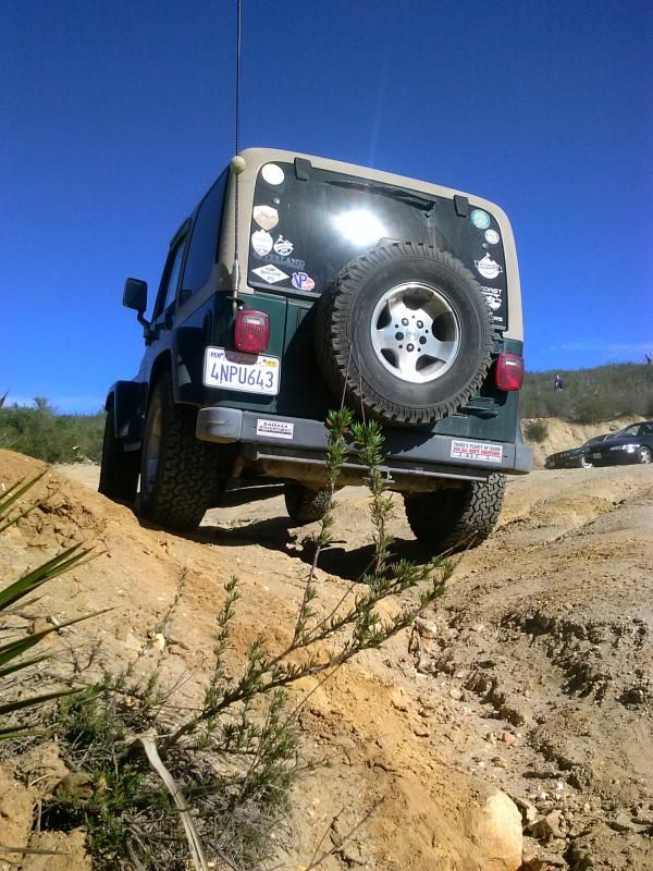
Back to my Jeep at the trail head. It was another great day spent in San Diego's backcountry.

To Get There: From Interstate 8 , exit at Highway 79 ( the Descanso exit) and drive north. After 1.3 miles turn left on Riverside Drive. Turn left on Viejas Grade Road (there's a small market and gas station on the corner) and then turn right immediately on Oak Grove Drive. From there take Oak Grove Drive 1.6 miles to the intersection of Boulder Creek Road on the right. Follow Boulder Creek Road north for about 13.0 miles (the first half is paved and the rest is dirt) to a hairpin turn where unpaved Cedar Creek Road joins from the west. Park there, at the Eagle Peak and 3 Sisters Waterfall Trailhead taking care not to block traffic, and post an Adventure Pass on your car. (This hairpin turn and intersection can also be reached, by way of Engineers Road or Pine Hills Road to the north.)


Bring Lots of Water: This area can get really hot in the spring and summer... if you decide you want to go down to the falls you're going to need even more water as well.

Distance: 4.75 miles
Elevation Gain/Loss: 1300'/1300'


Monday, January 12, 2015

Indian Valley's Summer Solstice Cave & Torote Canyon Hike | ABDSP


Hike four of my 52 Hike Challenge was to the Solstice Cave in Indian Valley and Torote Canyon in Anza-Borrego Desert State Park. You can't find any specific directions to the cave online or in any guidebook. The lack of info helps protect this special archaeological site. Torote Canyon, a tributary of Indian Gorge, shelters dozens of rare elephant trees. For many years it was thought not to exist at all in the United States, until it's official discovery in 1937.

The only reference to the Solstice Cave I knew of was from a brief mention of it in the Sombrero Peak hike description in Jerry Schad's book, Afoot & Afield in San Diego County- "On a slope above this drainage, archaeologists have identified an Indian ceremonial site keyed to the rising position of the sun at summer solstice." I had also seen photos of the cave on a few online sites and forums, but with no specific directions to it. However, a friend who had recently found the cave after several exhausting searches was gracious enough to give me a few hints to its location, while stressing the importance of not sharing its whereabouts anywhere online. Its a special place that's been kept unspoiled. So on a rainy Sunday morning, while still fighting a cold, I set off with a few others to find the cave.


All but low-clearance passenger cars should be capable of negotiating the sandy road (turnoff at mile 46.1 on Highway S-2, about 2 miles north of Bow Willow) leading into Indian Gorge.

The view to Sombrero Peak was partially obscured by the stormy weather.

Bundled up and ready to go. We would be subjected to intermittent rain during our trek.

Heading up with Steve, Tammy, Travis, and Sarah.

With no real trail to follow, the terrain ahead looked formidable. 

Taking a short break for a group photo, minus yours truly.

The fifth wheel.

Eureka! The summer solstice cave!

The cave’s ceiling, a large fallen boulder, is covered in pictographs, mostly suns, hence the name. Petroglyphs and pictographs are representational art left behind by the original inhabitants of Anza-Borrego and are more plentiful here than in most other regions of North America.

Since there is really no way to translate this rock art, its meaning is often a matter of conjecture. However, experts believe that it revolves around how Native Americans interpreted their world and their lives; that such art came into play in initiation, fertility and marriage ceremonies, astronomical observations, visions and dreams and as historical records.
(Photo by Steve & Tammy.)

Taking in the views and relaxing in the cave. The Kumeyaay people who inhabited this region would leave their mountain homes to harvest food resources and to avoid inclement weather. While there is debate on when the oldest inhabitants of the region occupied these lands, evidence suggest use that extends back at least 1,100 years ago.

After taking in the views and reflecting on what ancient life must have been like here, we began our descent back to our vehicles.

Dodging the cholla on the way down.


At times, finding the best route through the rugged terrain was a challenge.

We finally make our way back to the valley floor of South Indian Valley and load our packs back into the rigs. 

Just 0.2 miles from the valley forks, along the south fork, is a large granite boulder with a smoke-blackened cave and bedrock morteros on the backside.


After parting ways with Travis and Sarah, the rest of us headed about a mile up Torote Canyon to check out its elephant trees and secluded valley.
(Photo by Steve & Tammy.)

In Mexico, this tree is called torote, which means "twisted," in reference to the haphazard way the limbs twine upward. On the California side of the border, elephant trees are relatively rare, confined to a few spots scattered throughout the park.

The tree is usually found in rocky areas and on slopes. The first sighting in the Colorado Desert was made in 1911, but its exact location remained a mystery until an elephant tree hunt occurred in 1937 and representatives from the San Diego Natural History Museum and the state park officially recorded its location. 

Its so... weird looking!
(Photo by Steve & Tammy.)

As the valley opened up before us, the elephant trees thinned out and cholla got thicker.


Last look of the valley before we turn around. Afoot & Afield in San Diego County describes a 4 mile round trip hike up this canyon and into several small valleys, richly endowed with desert vegetation and a healthy population of jackrabbits. I'll have have to return sometime to explore it further.


Distance: 4 miles
Elevation gain/loss: 1444'/1444'