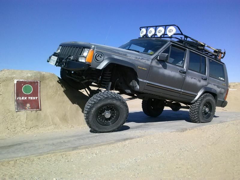
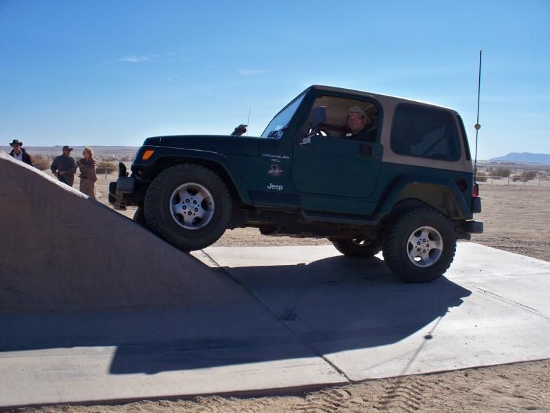
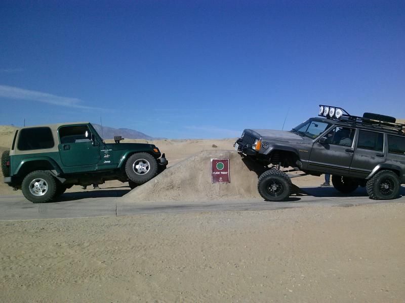
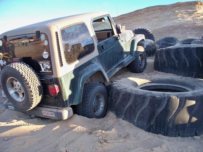
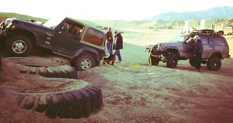
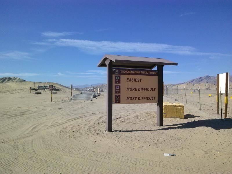
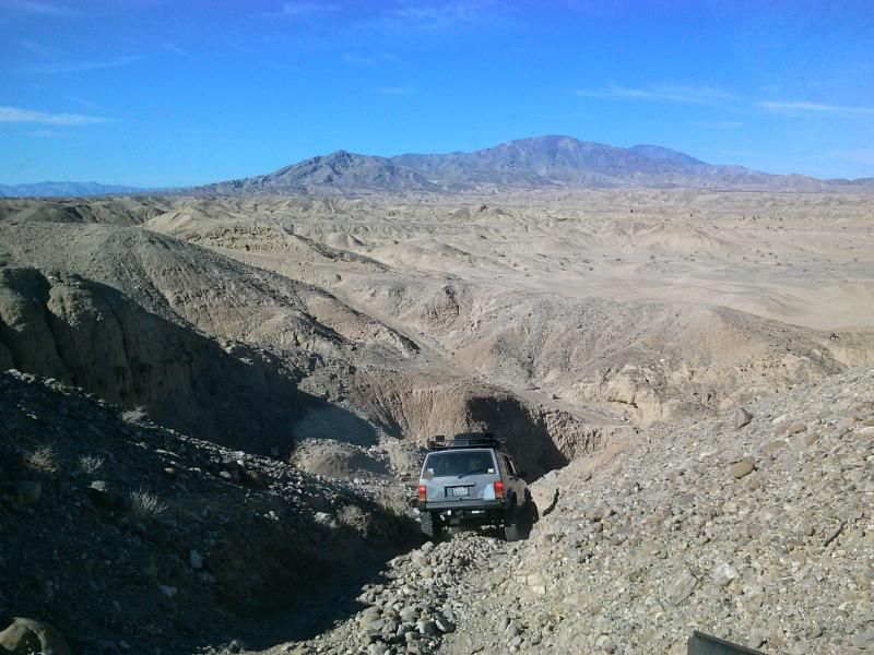
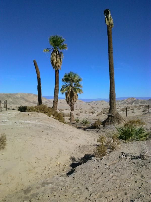
October marks the time for OAUSA's biggest annual event, BorregoFest. From October 18th - 20th 2013, adventure and outdoor enthusiast headed to Anza-Borrego Desert State Park for 3 days of camping, 4x4 trail runs, and hiking. On Friday evening Leland Fetzer arrived for a presentation on the gold mines of Julian and the Cuyamacas. Leland is the author of the book, "A Good Camp", an excellent history of the gold mining boom which gave birth to the town of Julian. The "not to be missed" pot luck dinner and campfire was held on Saturday evening. They also offered Amateur Radio License testing on Sunday.
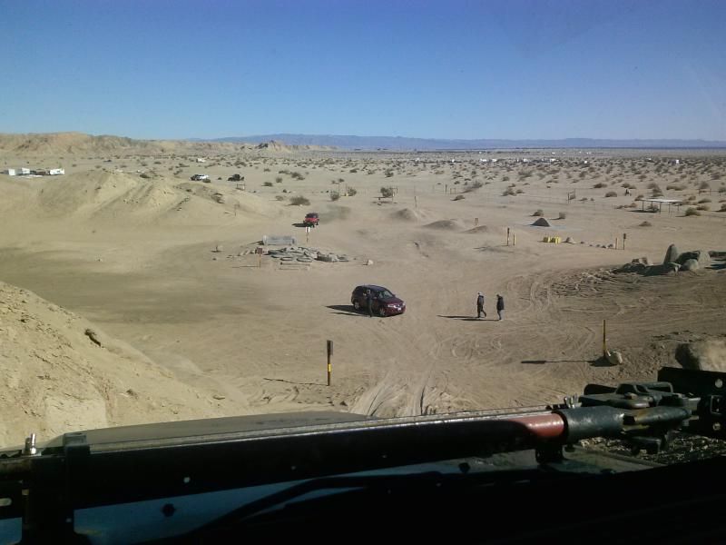
This is a family friendly event located at the Butterfield Ranch Resort, located just outside the Park boundary. The Ranch is equipped with full hookups for RVs, plenty of tent camping, showers, and a well stocked store. Our plan was to head out Saturday afternoon after participating in the Bruce Gorder UCSD 5K Walk for Melanoma with Autumn's family. This annual fall event in San Diego helps build the public's awareness of the importance of prevention and early detection of melanoma.
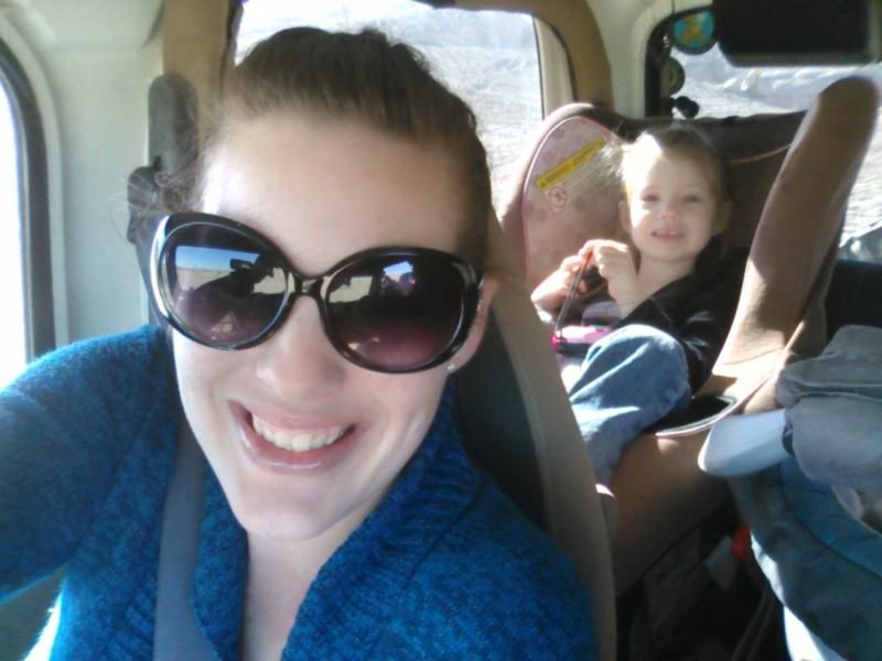
On our way and passing the big wind turbines along Interstate 8.
More wind turbines just outside the small desert community of Ocotillo.
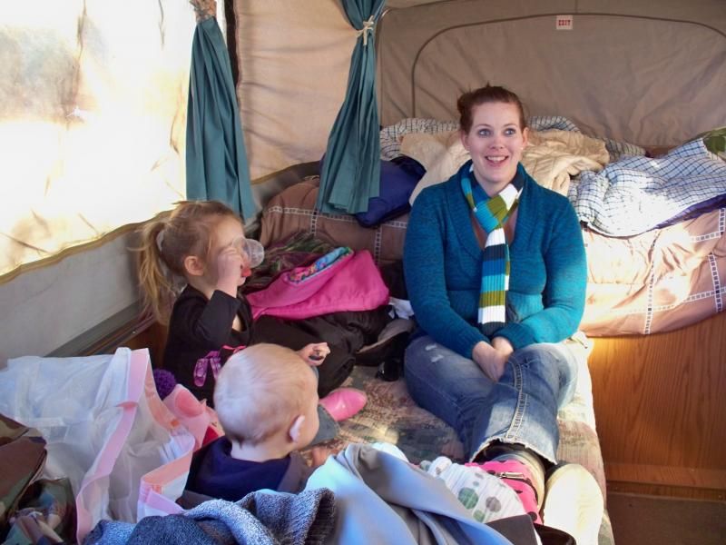
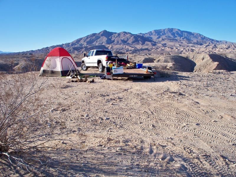
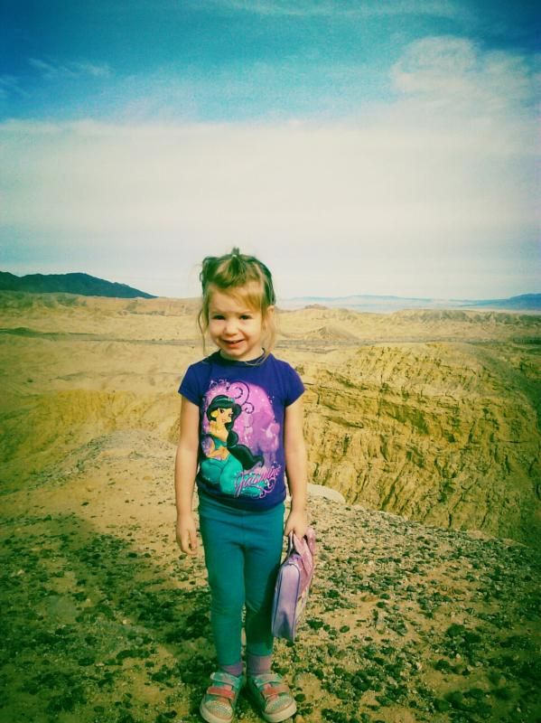
The first order of business, after setting up camp, was to hit up the playground. Audrey spotted it right away and eager to go play.
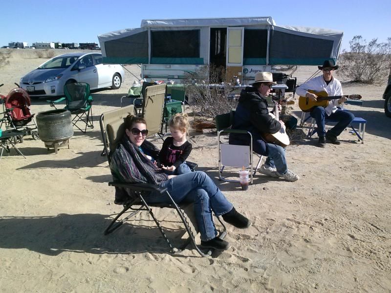
As the evening rolled around folks gathered for the potluck. There was more than enough food and drink to go around. My contribution consisted of bacon wrapped jalapeno poppers and coconut rum.
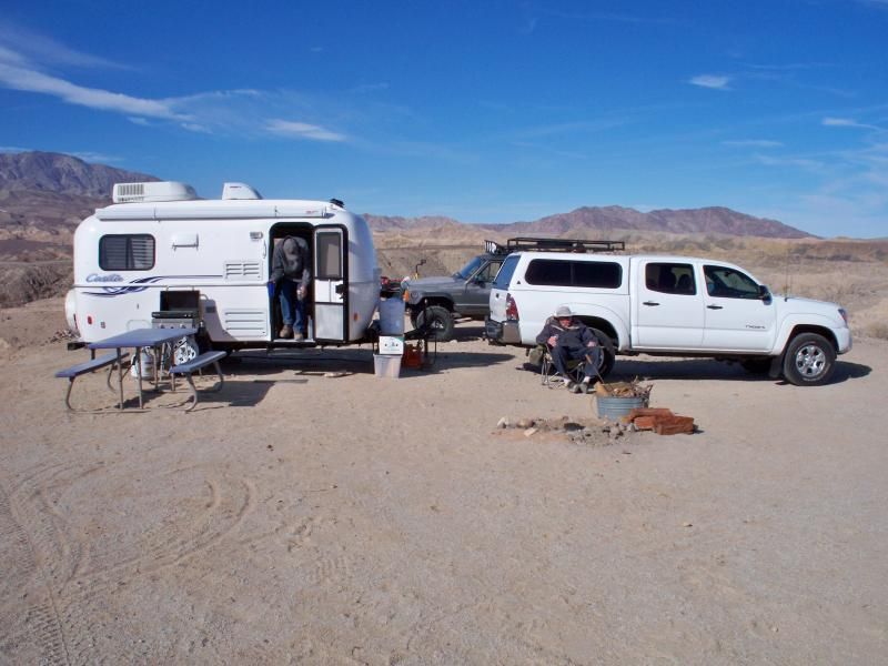
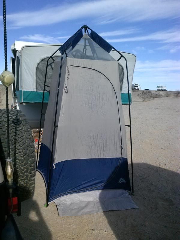
The next morning I prepared coffee, oatmeal, and fruit for breakfast, after walking around camp for a bit to check out the various vehicles and camp setups. Afterward, I packed up all our gear, gathered for the raffle, and got ready for our trail run.
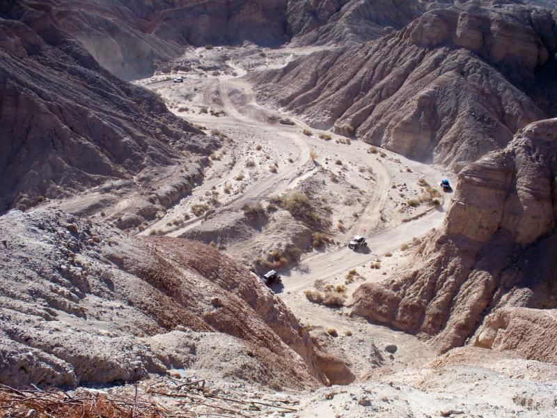
I had planned on doing a run up Coyote Canyon but the seasonal closure gate was still shut due to flood damage, so I needed to come up with an alternate trail run. I decided on a "San Felipe Wash to Old Kane Springs Road" run. From Borrego Springs Road and the "Texas Dip" we turned right into San Felipe Wash and found a wide area along the trail to stop and air down.
Map of our route.
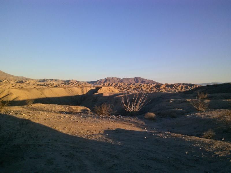
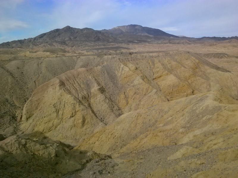
View of the Borrego Badlands and Fonts Point in the distance.
Rainbow Wash, one of the only routes that penetrate into the badlands hills and washes to the North.
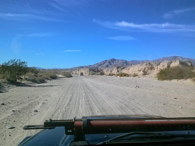
The wide, sandy course of San Felipe Wash flows through Ocotillo Wells SVRA.
EXPLORING FOR A ROUTE
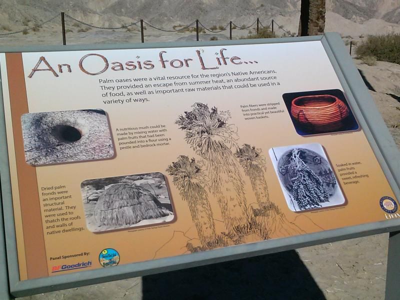
In 1774, to block envious European empires from snatching the rich territory of California, Spain planned to plant settlers there. This difficult task was given to Captain Juan Bautista de Anza, a capable frontier soldier. To accomplish his orders, Anza would have to lead over 200 people and 1,000 animals over 2,000 miles to San Francisco Bay. Rather than jumping headfirst into an unexplored desert wilderness, the prudent Anza first lead a scouting expedition to blaze the trail.
After crossing the Colorado River near present day Yuma, Anza and his soldiers tries to cross the daunting Imperial Dunes. The shifting sands almost trapped the expedition while the lack of water nearly killed the men and their horses. Retracing his steps, Anza wisely went around this wall of dunes.
On March 10th, 1774 the scouting expedition arrived in the Ocotillo Wells region where they encountered a native band, likely Kumeyaay frightened by the Spanish horses. With the help of Anza's Indian guide, Tarabal, these indigenous people were persuaded to meet with Anza. In return for gifts and trade goods, they gave the expedition directions to water holes on the route North. This land and the trail were new to Anza, but were already known to Tarabal and the local natives.
A HUNDRED YEAR STORM
A blizzard in the desert? Hard to believe, but Anza's second expedition was blasted by wind and snow for almost a week as it crossed Imperial Valley in December of 1775.
Despite the freak storm, Anza lead his 200 people safely through the freezing conditions. Only a few horses and cattle perished from the cold.
Upon arriving just East of here on a Sunday night, December 18th, 1775, the Anza Expedition celebrated its harrowing passage with an impromptu "fandango." Despite the rain, the camp was alive with dancing as soldiers, settlers, and Indians rejoiced in surviving the once-in-a-century killer blizzard. Anza, a seasoned soldier and the expedition's leader, was usually as odds with Father Pedro Font, the expedition's religious adviser. They were soon quarreling again over the morality of the "raucous party" and its accompanying "bawdy" songs.
Upon reaching Highway 78, we stopped for lunch at the Blu In Park and then made a short detour to check out the airplane graveyard.
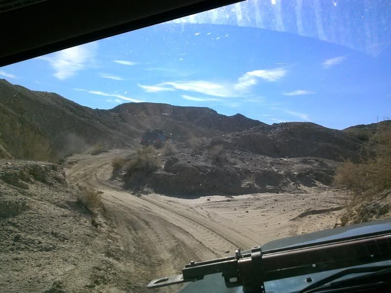
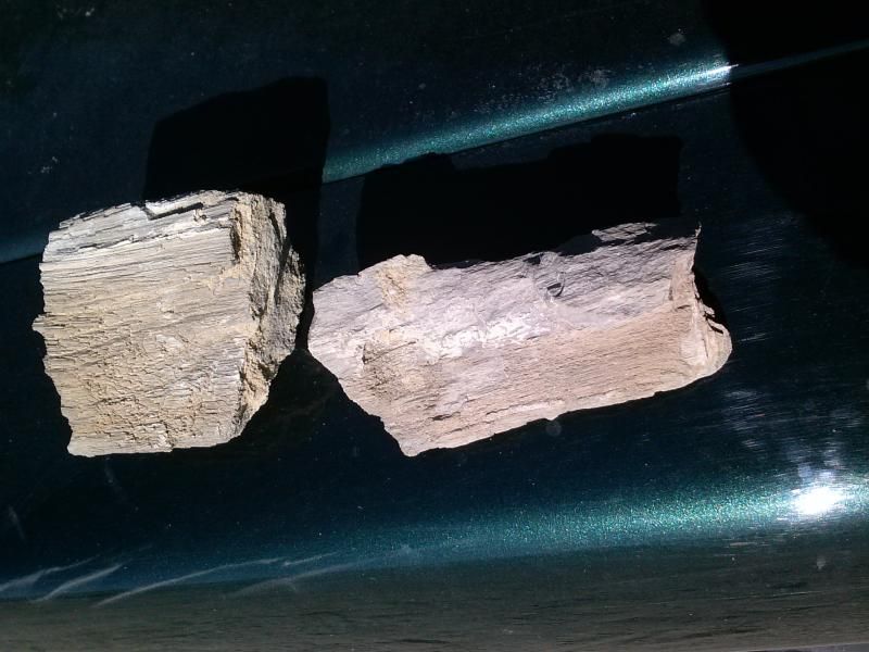
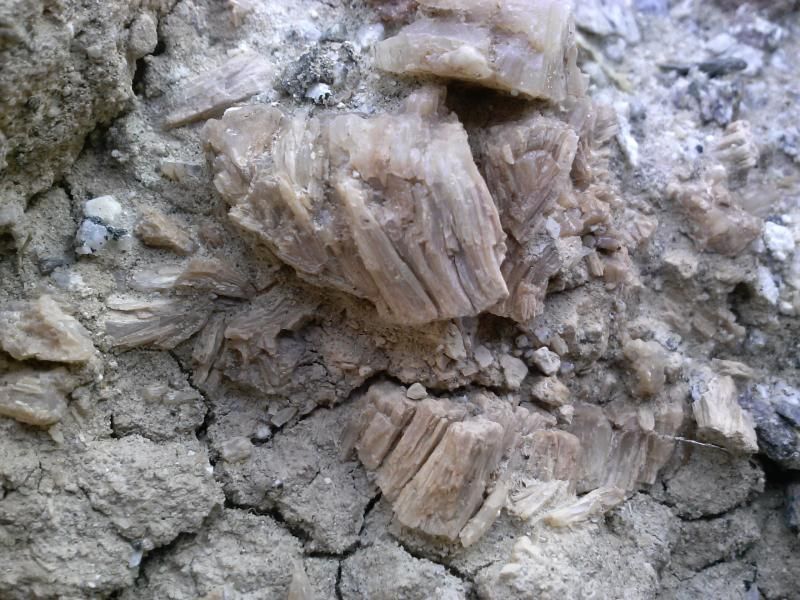
Traveling down the ever narrowing and twisting arroyo, I kept an eye out for evidence of an ancient lake visible along the sides of the wash. I stopped here to show the group shells embedded in the sediment.
Prehistoric Lake Cahuilla was an extensive freshwater lake that filled the Coachella, Imperial, and Mexicali valleys of southeastern California and northeastern Baja California during the centuries prior to Spanish entry into the region. The lake was almost 100 miles long by 35 miles across at its widest point, extending from the delta in Mexico north to the vicinity of Indio. It was six times the size of the present Salton Sea.
This ancient freshwater lake completely filled the Salton Basin to overflowing behind the natural delta-dam. The shoreline of the old lake is still visible at the base of the surrounding mountains. It averages about 40 feet above sea level, but varies from 25 to 50 feet elevation. The variability of elevation is thought to be due to subsidence of the basin floor.
Continuing on our way, we suddenly came upon a water hole around a bend in the wash. I jokingly mentioned over the radio that someone should drive through it, but didn't think anyone actually would. We ended up having to use two vehicles to recover the FJ out of the seemingly bottomless mud pit.
Here's some video Autumn took of our recovery efforts:
Once on our way again we turned South on Pole Line Road and then East onto Old Kane Springs Road.


Old Kane Springs Roads skirts the southern boundary of San Sebastian Marsh. This unique, water-based habitat has supplied a permanent, dependable source of water for people and wildlife since ancient times. The marsh was a stopping place for Anza, who named it after his Indian guide Sebastian Tarabel and after trading with some 400 Kumeyaay assembled there, continued northwest up San Felipe Wash into the Borrego Valley. The marsh is the only designated critical habitat in California for the desert pupfish, an endangered species. Because of its importance in sustaining this unique marshland environment, San Felipe Creek and San Sebastian Marsh is a registered National Natural Landmark. It has also been designated an Area of Critical Environmental Concern (ACEC). The area around the creek and marsh are easily damaged and very sensitive. The marsh is closed to vehicle use, with closure of boundaries clearly posted.

“To this site I gave the name of Zienega de San Sevastian, alias del Peregrino. In the place where we halted there is a good spring of very potable water, and there are many others to the west which are saline. From them is formed a marsh more than a league long with plentiful pasturage, although it is likewise salty.” –Juan Bautista de Anza, March 10, 1774; translated by Herbert Bolton, 1930; underlines ed.

"We have not yet uncovered actual historic records of the site, but from what we have seen, one can readily infer the story. Rainfall is scarce, but often occurs in extreme downpours. In such situations streams can meander rapidly. It appears that in the past when erosion first threatened the well, the wall was built upstream to protect the stream bank and the well. However, as they ultimately will, the natural processes of downpours, flooding, and stream dynamics overwhelmed the efforts to protect the bank, the wellhead was lost and at some point, the well casing stood up at least 12 feet out of the stream bed before toppling due to rust and perhaps human intervention."
Toppled wall lying in wash upstream of the well.
The well casing of Harper's Well lying across the wash.
Our journey ends near the junction of Highways 78 and 86. It was a fun filled weekend spent with my beautiful girls and other adventure-minded people. I'm already looking forward to next years BorregoFest!
More info on the historic Anza Expedition and surrounding area.