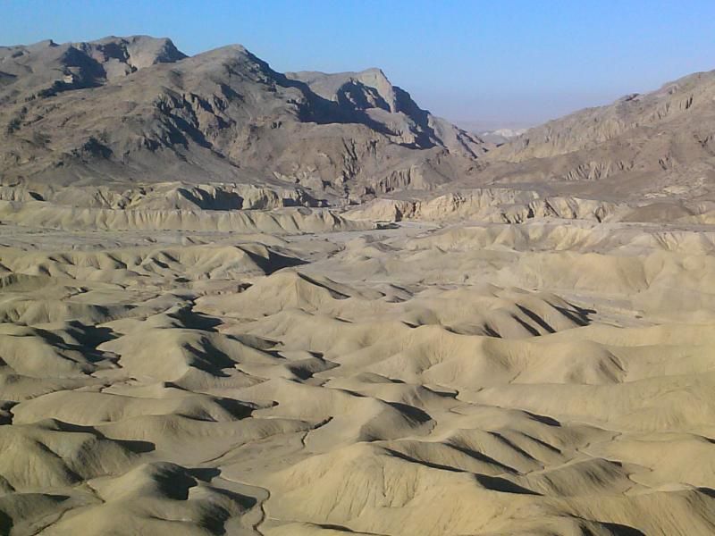
"This is the desert at its lowest, hottest, and- to the unappreciative eye- most unfriendly. To those who know it well, however, it is a fascinating labyrinth of rugged canyons, twisted arroyos, and mud hills, containing not only some of nature's best examples of earth sculpture, but also a complete sequence of animal fossils. In truth, it's not unfriendly at all. Even the weather is beautiful- at least from late fall into early spring." - Jerry Schad, Afoot & Afield In San Diego County

Google satellite view of Elephant Knees mesa.

To get to the desert I have to drive through the mountains, which usually isn't an issue. However, with the recent snowfall, I knew the crowds would be flocking to the higher elevations of the county. I was getting a late start so to avoid getting caught in the bumper-to-bumper traffic heading up the highways, I took Boulder Creek Road. This mostly graded dirt route would allow me to bypass the majority of the traffic.
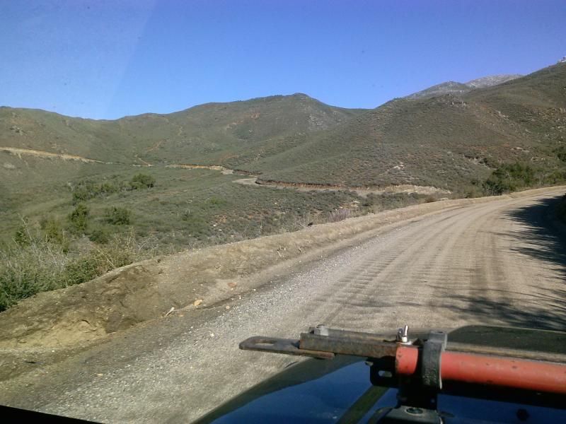
As the route climbs, I begin to see this seldom seem white stuff on the hills above.

Looking west towards El Cajon Mountain, informally known as "El Capitan." Beyond that I could also discern the faint outline Cowls Mountain, the highest point in the City of San Diego.

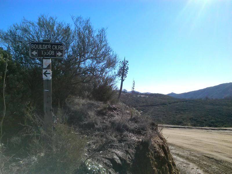
This route takes you through Cleveland National Forest. This sign is located at a hairpin turn in the road and the trail heads for Eagle Peak and Three Sisters Waterfall.
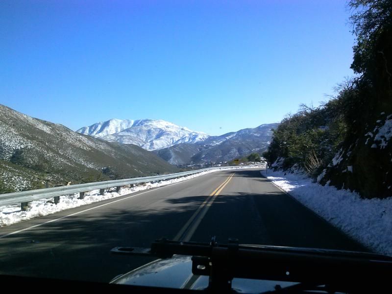
Snow covered mountains of Anza-Borrego Desert State Park come into view as I make my way down Banner Grade.
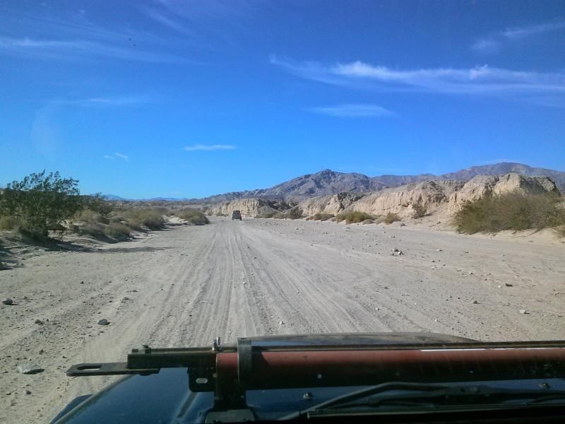
Eventually, I reached Ocotillo Wells SVRA, turned south on Split Mountain Road off Highway 78, and onto the sandy wash of Fish Creek, which is typically dry and firm in late fall and winter but possibly slippery with mud following a major storm. Ahead looms Split Mountain, with cliff-like walls that occasionally shed rock debris onto the trail below. I make a quick stop at the dramatic thumbprint-shaped Anticline- ancient sea floor sedimentary layers that were pushed and buckled by an earthquake eons ago.
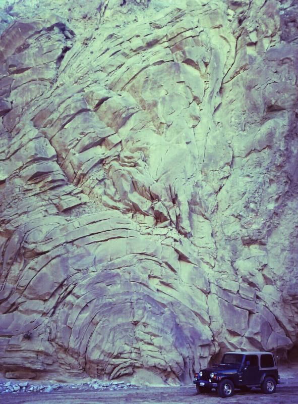
Parked in Fish Creek, along with a number of other folks out enjoying the day.
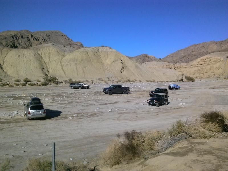
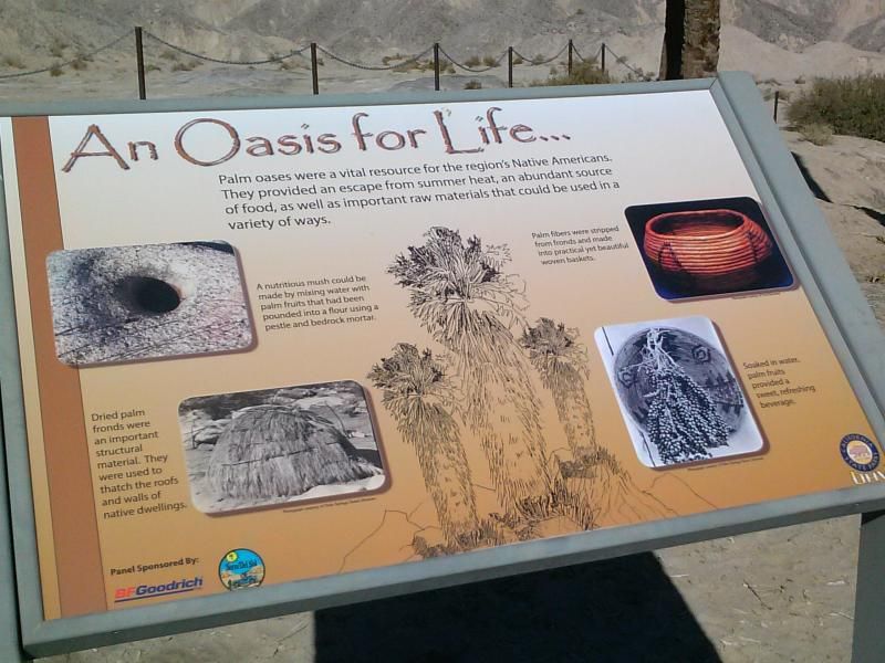
Mud Hills Wash begins just around the bend from the Windcaves trail. It comes into the main fork of Fish Creek 0.3 miles west of the Windcaves trail marker. There is an information panel on oyster shells reefs on a knoll next to it (west side).

Parts of the wash were still muddy from the recent rains. My guidebook said that you'll accumulate about two inches of mud on your boots if its wet, but that's all part of the fun.
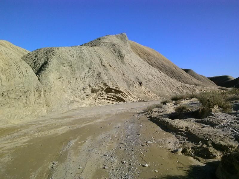
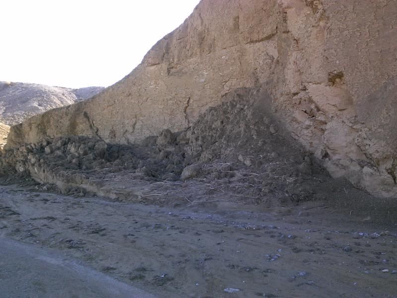
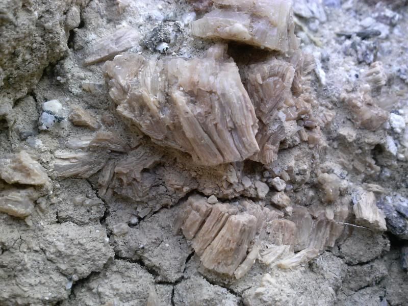
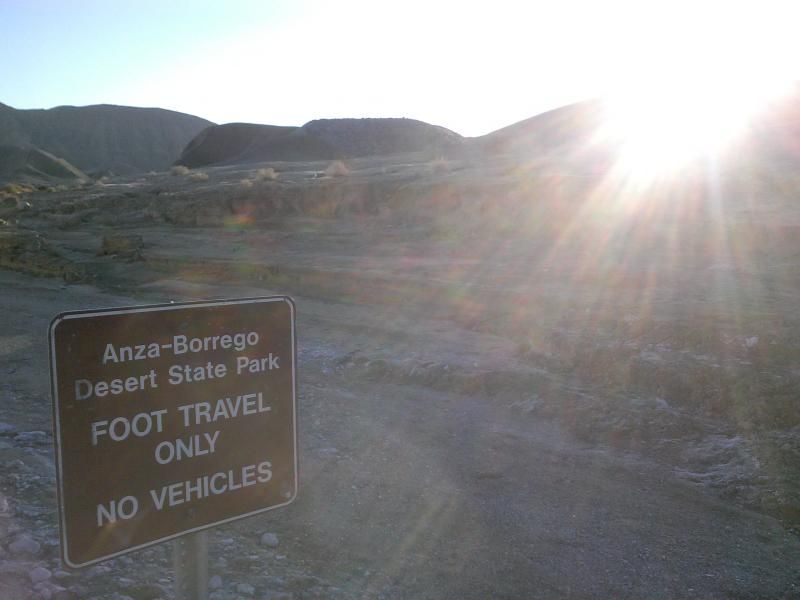
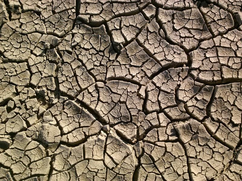
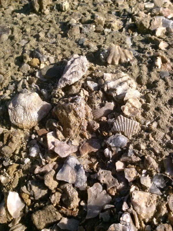
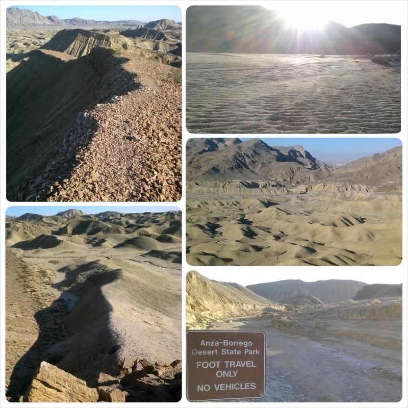
Walk past the "Closed to Vehicles" sign and follow the meandering path of Mud Hills Wash into the maze-like badlands. You may see such things as glass-like gypsum crystals, loose shells, indications of recent flooding (mud flows or mud curls) and lots of fragile plant life along the trail. Keep in mind that no collecting of fossils is allowed in the state park.
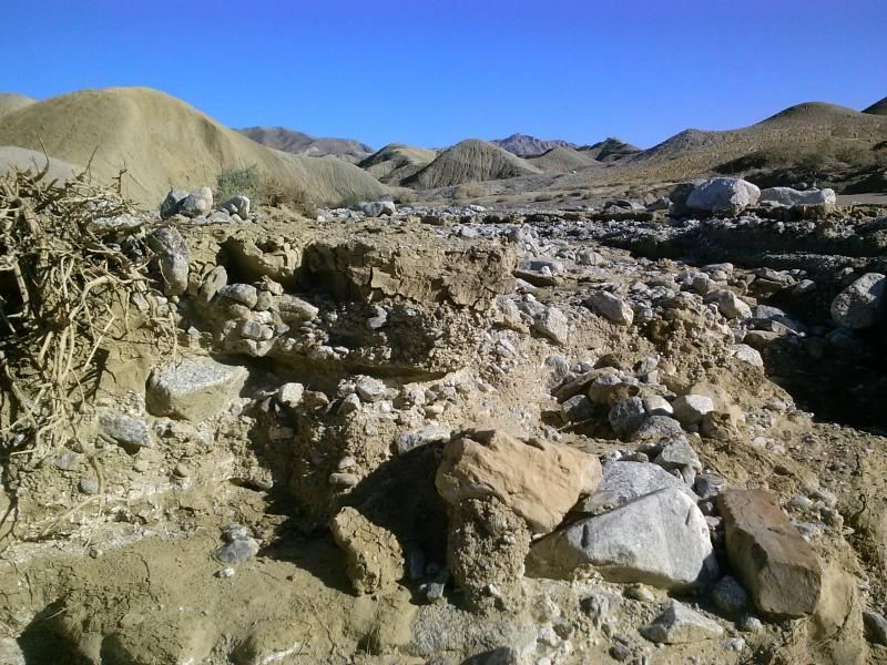
As you wind along, you should be able to keep the flat-topped Elephant Knees mesa in view. Keep following the main wash around to the right (west) as the object is to get to the backside slope of this formation, which you should arrive at in 1.5 miles.
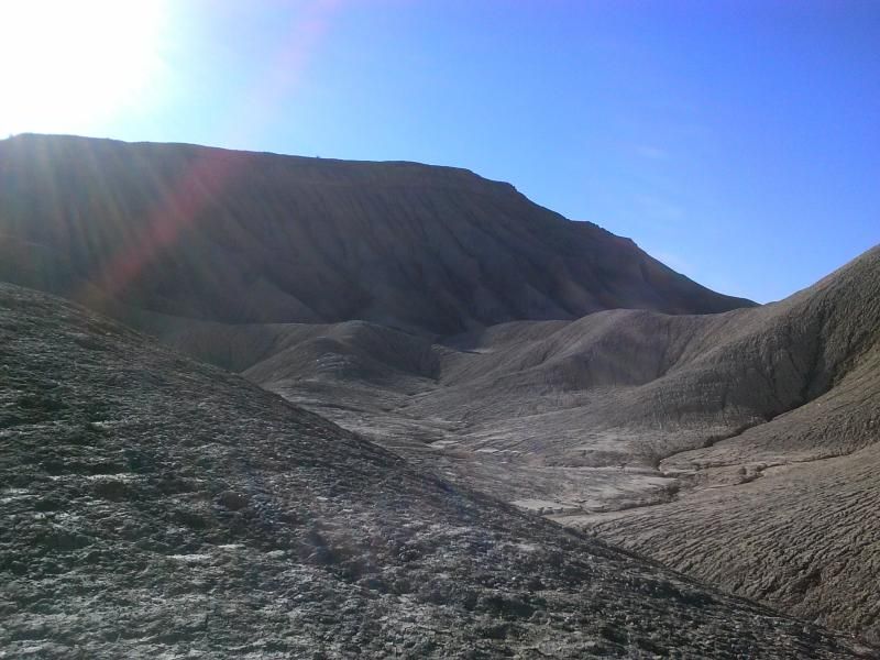
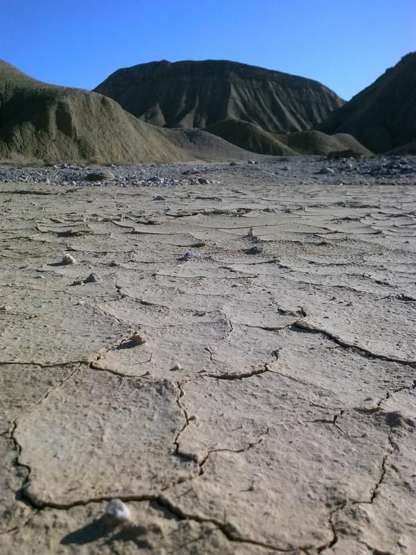
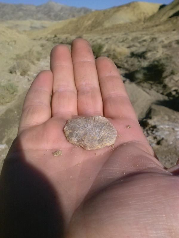
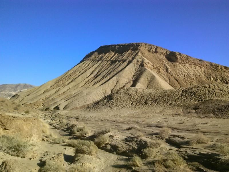
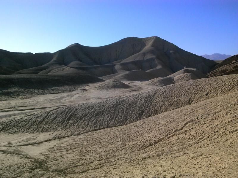
Making my way around the mesa, through the mud hills.
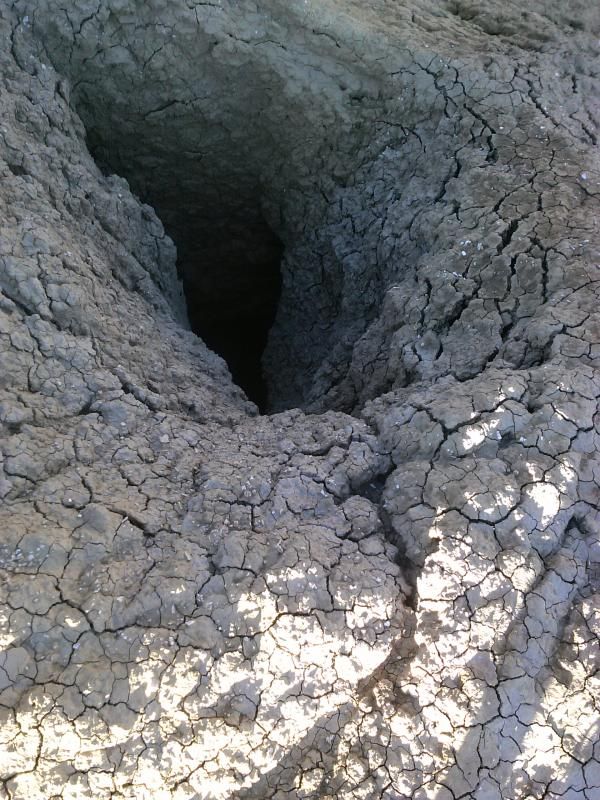
Falling into one of these would probably ruin my day.
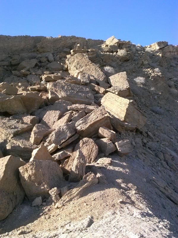
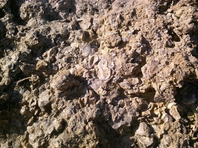
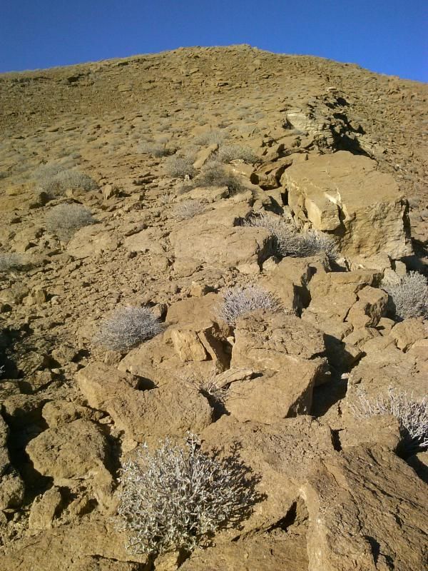
Here is where I began my assent to the top. These massive blocks are part of a 12 to 15 foot thick Oyster Shell reef embedded within the butte, left behind when it was still a part of the Gulf of California. Although the climb was very steep at times, it provided good traction, but its also razor-sharp, so I had to pick my way carefully.
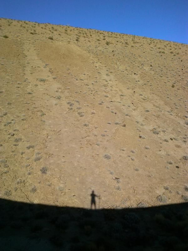
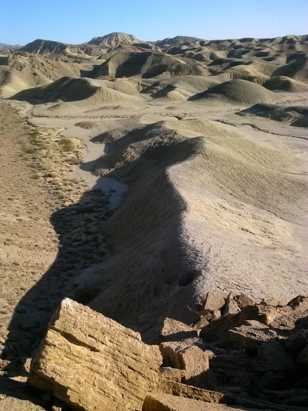
Looking back at my route up the butte.
A close-up of the embedded Oyster Shell reef.
Still climbing.
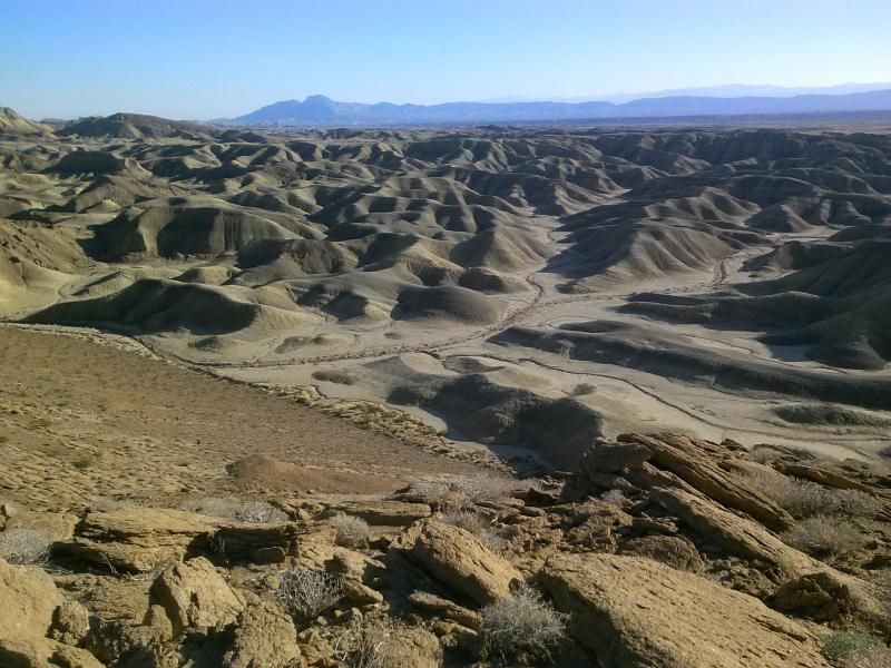
Looking southwest across the badlands with Carrizo Mountain in the distance.
Looking west, I can make out the distant conical shape of Sombrero Peak.
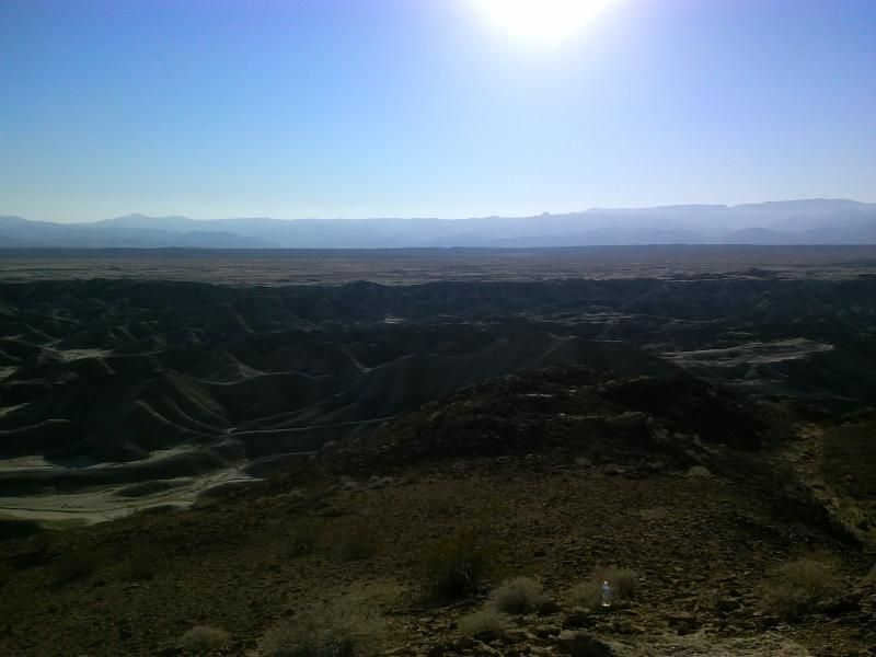
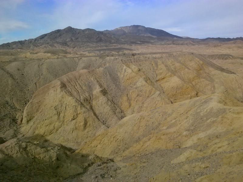
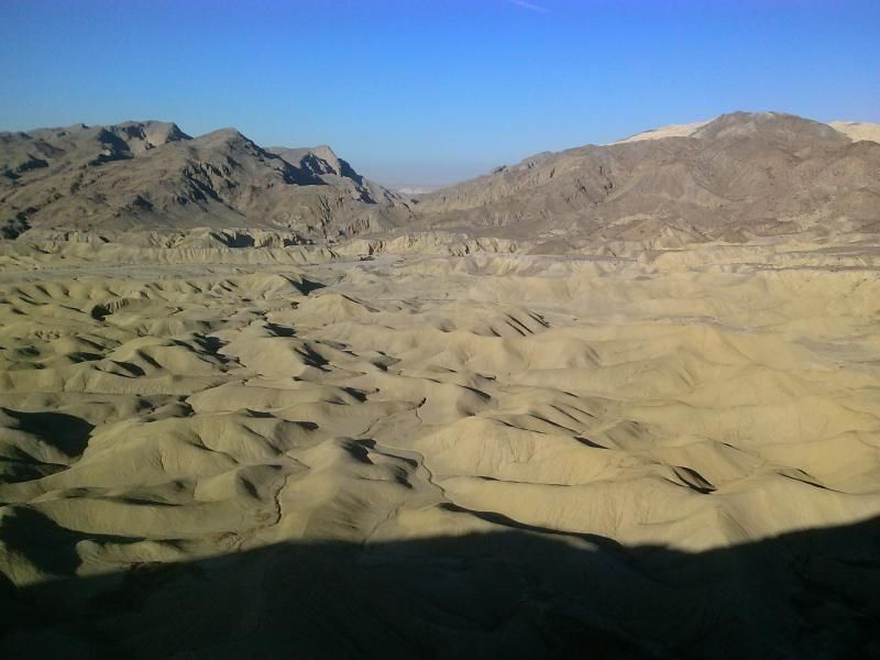
At the lip of the Elephant Knees formation you will be able to look down at the knees and the point at which you started your walk- and a large portion of Fish Creek Wash with its surrounding hills and mountains.
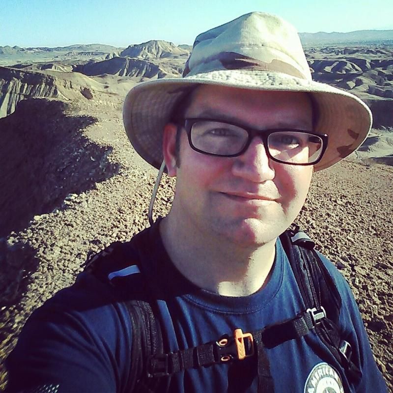
Selfie at the top!
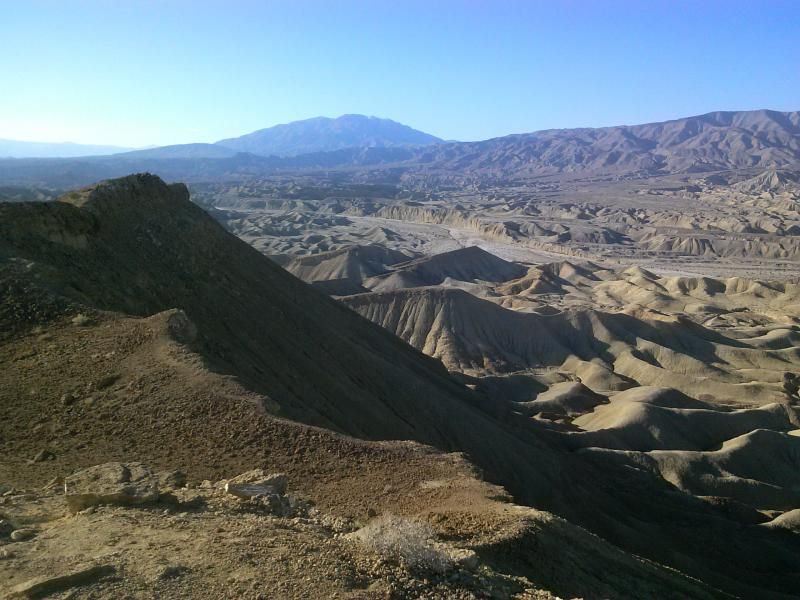
After taking in the views, I make my way along the lip of the mesa and back down into the mud hills. Walking along the edge was definitely exhilarating and the highlight of the hike.
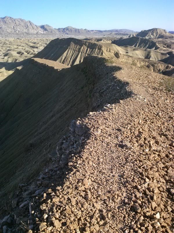
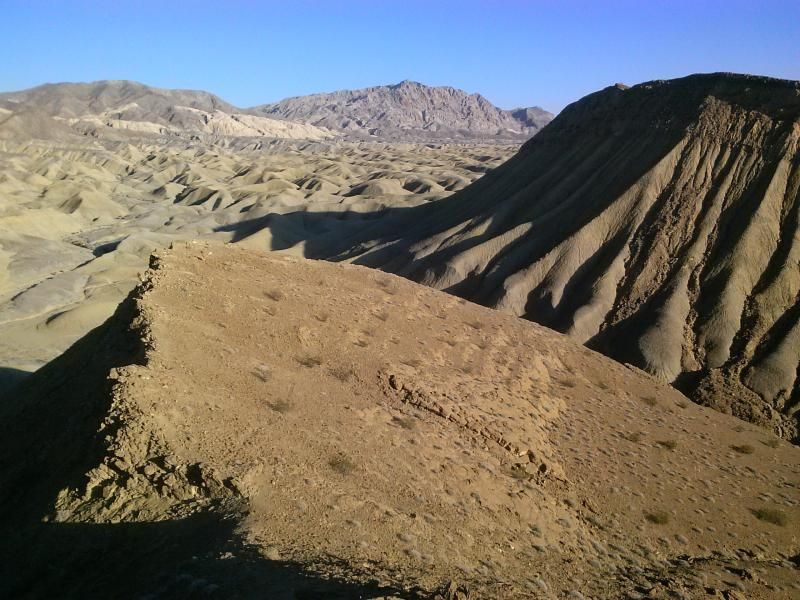
Last look at the Elephant Knees as I make my way back to Fish Creek.
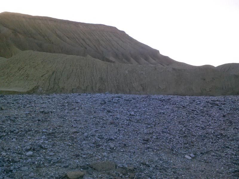
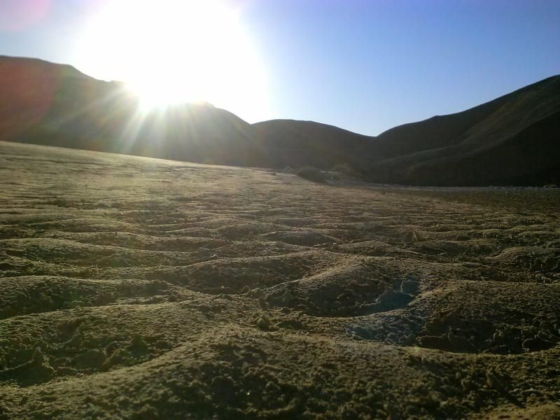
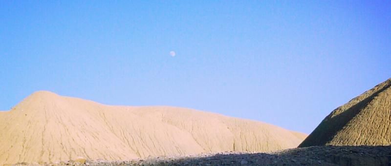
Moon rise over the mud hills.
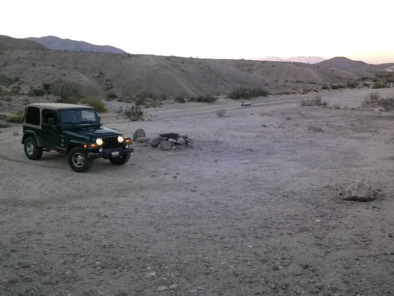
Arriving back at my Jeep parked along Fish Creek Wash.

On the way out I stopped in the narrows of Split Mountain, along with a few others, to enjoy the views.

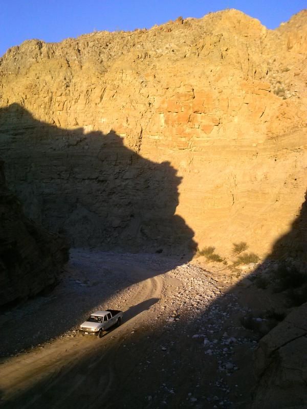
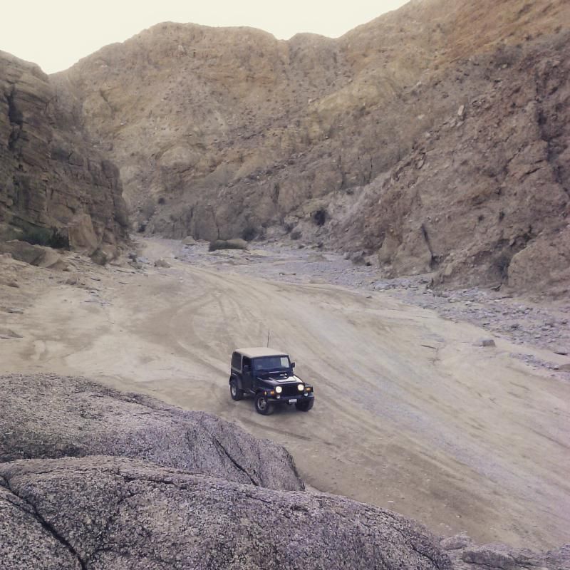
Some of my earliest and favorite memories of camping and exploring this area are here with my parents back in the 1980's. It was a great way to start the new year and I'm looking forward to getting out again soon. If you are interested in geology, fossils, or amazing desert terrain this area is a must see. Happy trails everyone!

GETTING THERE: To find Mud Hills Wash, drive east on Highway 78 to Ocotillo Wells and turn right on Split Mountain Road. Drive south 8 miles until you cross a dry creek bed with a sign indicating Fish Creek Wash. Turn right (west) onto the dirt road leading into the wash and follow it 4.5 miles, bearing to the left at the Windcaves trail marker to remain in the main wash.

52 Hike Challenge Stats
Date: 01-01-2015
Distance: 5 miles
Elevation Gain/Loss: 675'/675'