Sunday, December 12, 2010

Carrizo Mountain Camping & Rockhounding for Petrified Wood: Dec. 2010


Since December is the last month to traverse and explore Carrizo Mountain until June of 2011 due to the seasonal bighorn sheep closure, I headed out to camp near the summit over the weekend of the 11th and 12th of that month. Along with exploring other old mining roads atop the mountain, I also searched for fossilized oyster beds and petrified wood in the nearby areas.

Rockhounding is one of many recreational pursuits on 14 1/2 million acres of lands managed by the Bureau of Land Management (BLM) in California. Collecting small, non-commercial quantities of rock by rockhounds is allowed free of charge on lands managed by the Bureau of Land Management. Commercial collecting for the purpose of sale or barter is not allowed without special authorization. Rockhounds may use hand tools such as shovels and picks, but must not use explosives or power equipment for excavation.

Petrified wood is available for collection on a free use basis in limited quantities as long as the collection is for personal, non-commercial purposes. According to Federal regulations, free use collection weights are limited to 25 pounds plus one piece per day, not to exceed 250 pounds in one calendar year, and no specimen greater than 250 pounds may be collected without a special permit.


Looking out over the desert.


Much of the trail up the mountain consist of narrow shelf roads.

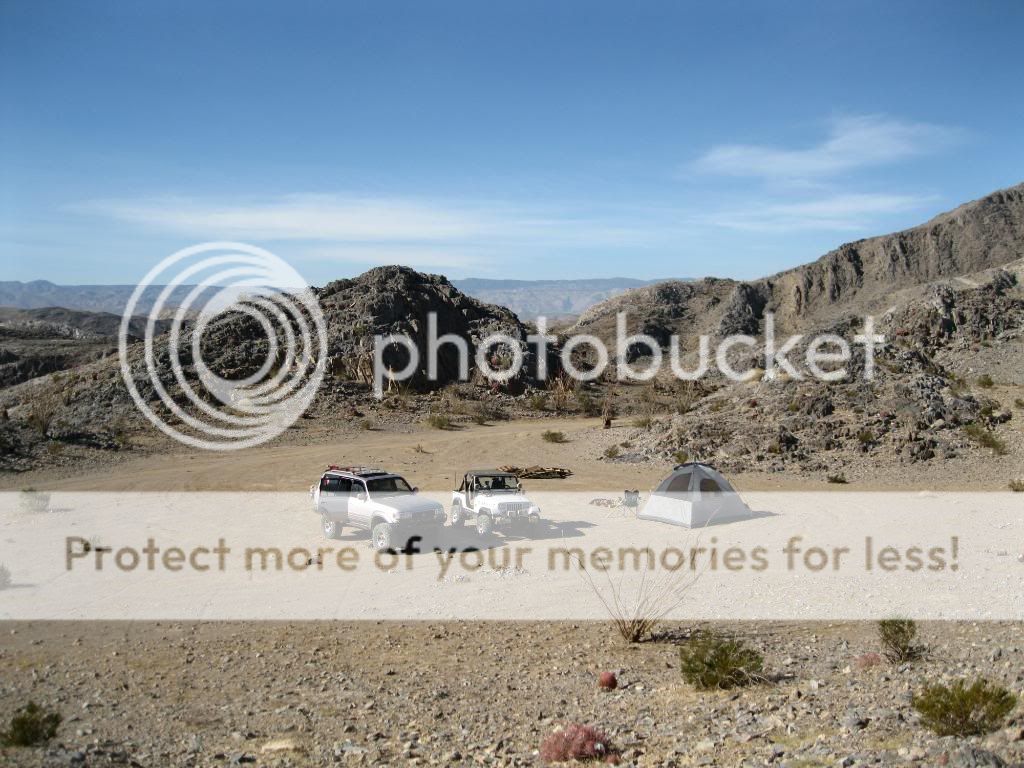
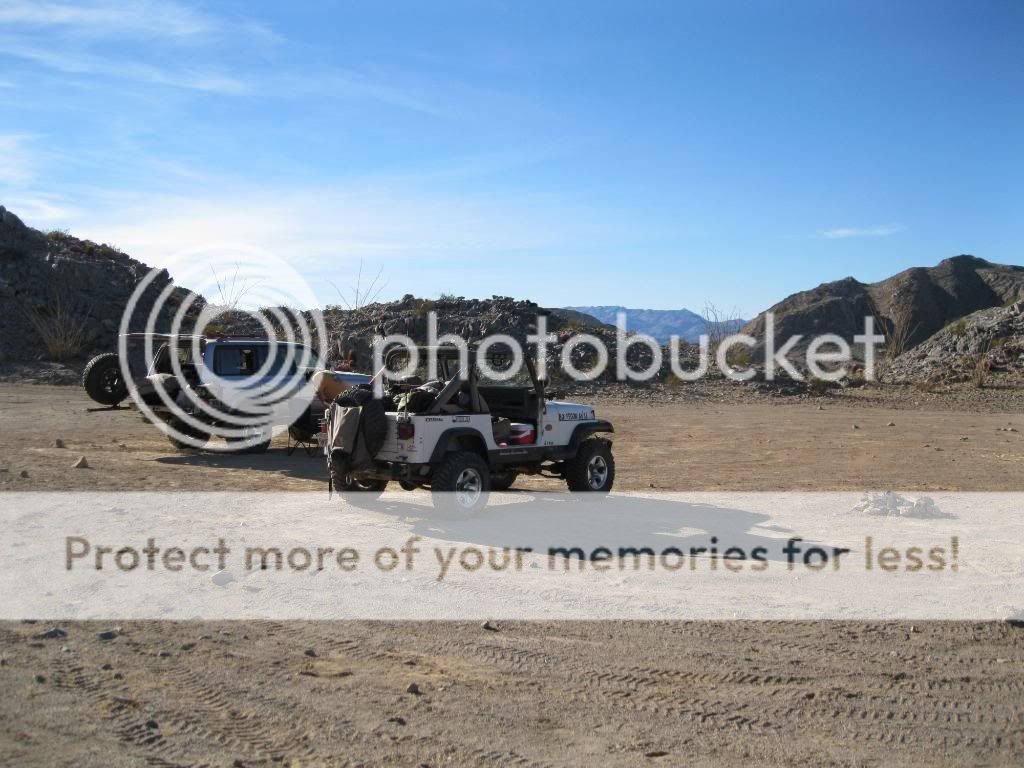
A little ways below the summit is a nice area to camp.


It was obvious the big horn sheep had been hanging around.


I was greeted by a red tail hawk while setting up camp.

Home away from home.
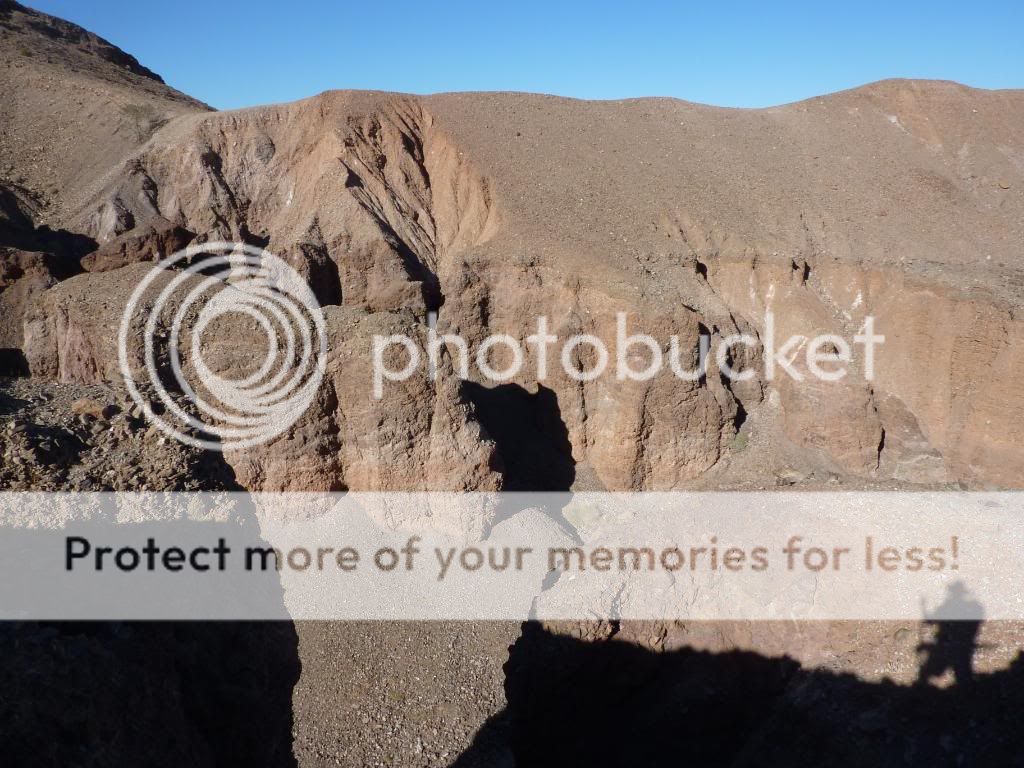

Painted Gorge.


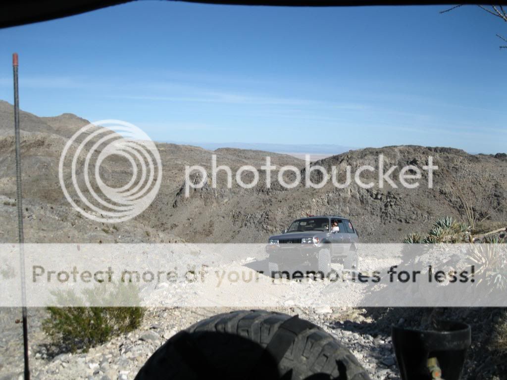
Steve met up with me later with his Lexus LX450.


Views from our camp.

Looking out over Carrizo Wash and Fish Mountain.


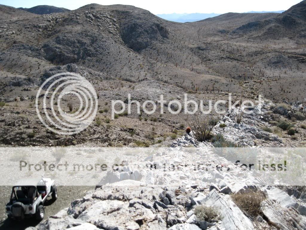
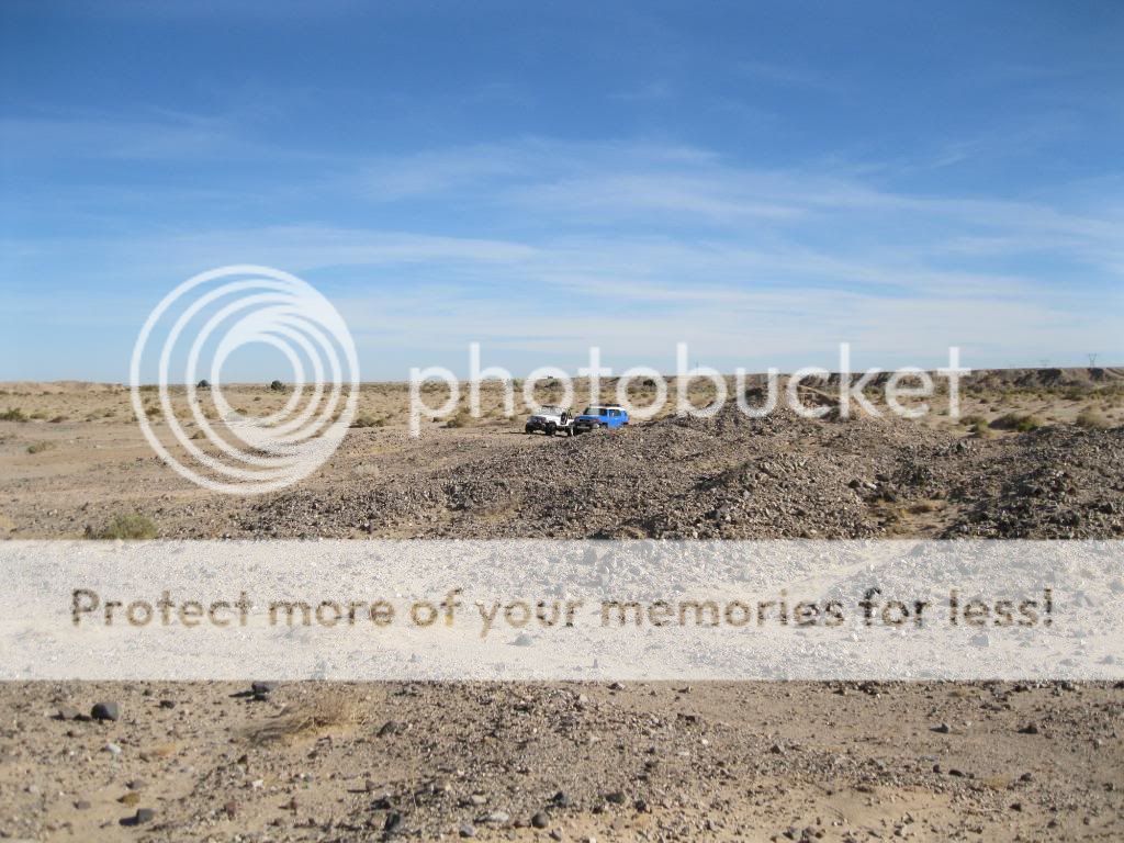
Exploring other trails around the mountain.

Overlooking the Carrizo Badlands.


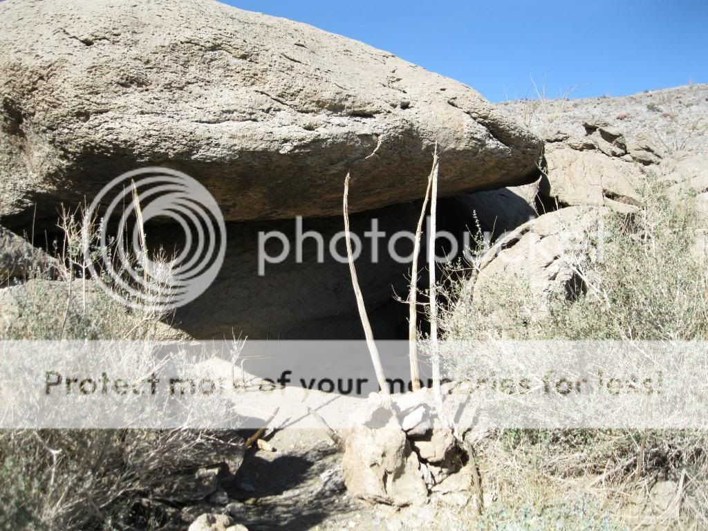
We found this cave along one of the trails.

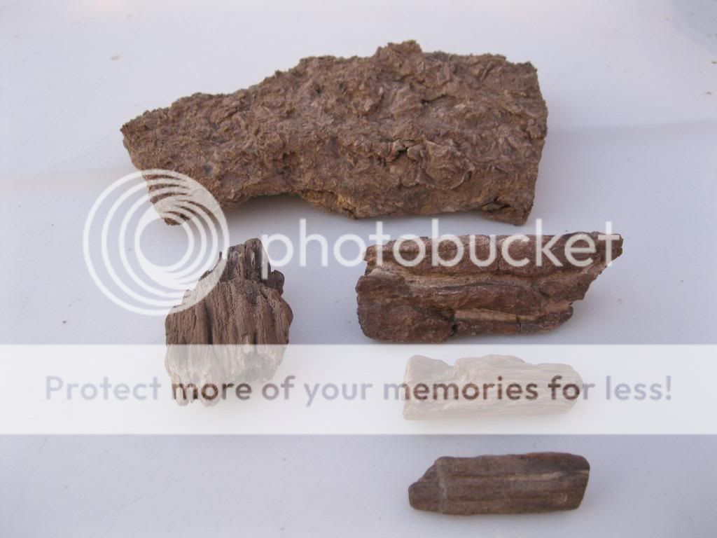
My finds for the day. Fossilized oyster bed and petrified wood.

Sunset.


The next day we packed up and headed out.


Steve headed home that morning after we met up with Craig and his FJ.


Casualty of the desert.

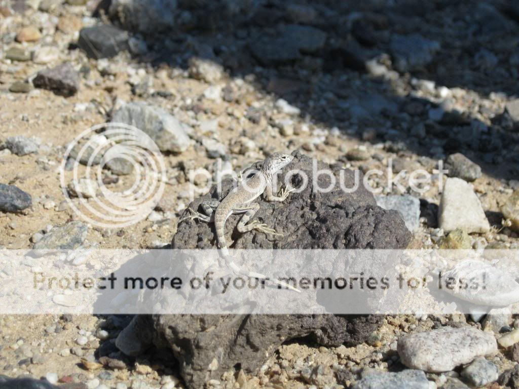
We're careful not to disturb the local residents.

Our hunting grounds.

It was easy to find the fossilized reefs/oyster beds.

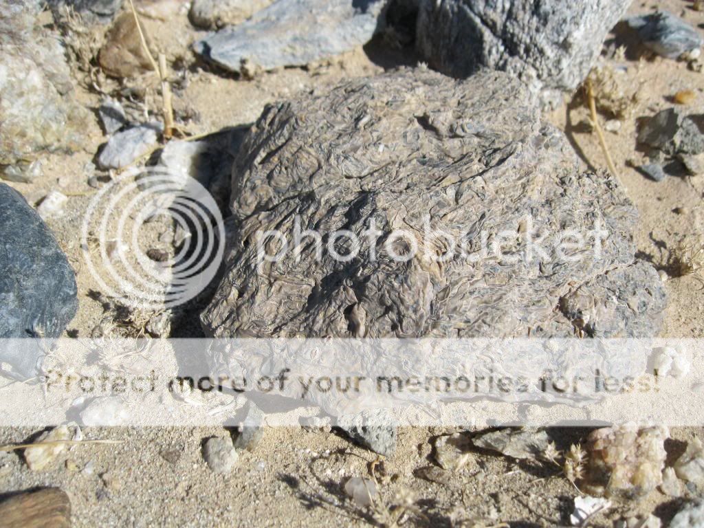
The petrified wood took a bit more searching to find.


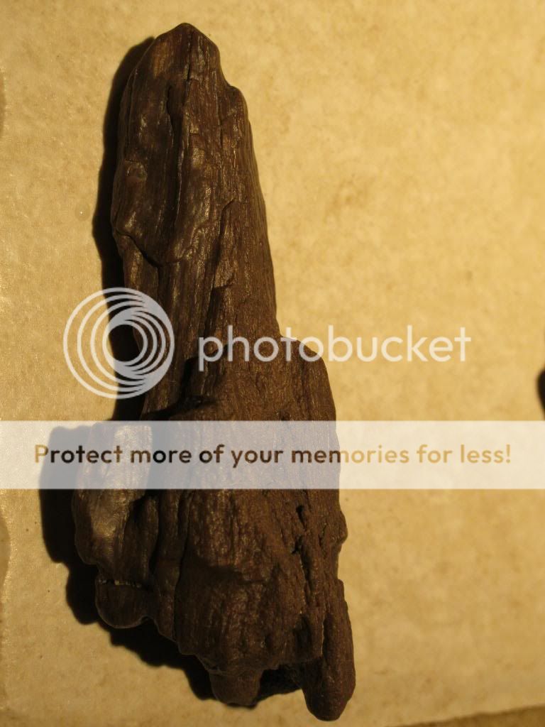
This was the biggest piece I found.


All the wood I managed to find.


It turned out to be a pleasant weekend out in the desert, exploring old mining roads and digging up remains from an ancient world.

Saturday, December 11, 2010

Hiking Cleveland National Forest: Kitchen Creek Falls

Sitting within the typically hot and dry Cleveland National Forest about 50 miles east of San Diego is Kitchen Creek Falls. Depending on how much rain has fallen in Southern California, seeing the falls flowing requires some timing as its flow can easily become nothing but a trickle during the dryer months. However, when it does flow, especially after a good rain the falls are impressive as water from about 20 square miles of drainage upstream tumbles a total of 150 vertical feet over several cascades of various heights.

Now although the falls sit somewhat quite close to Interstate 8, getting a view of them isn't easy for everyone. First, you'll have to hike for about 2 miles along the Pacific Crest Trail before leaving the trail at an easy-to-miss spur. On this two-mile stretch, you'll be passing underneath the noisy I-8 before climbing up a few switchbacks. Fortunately, the sound of the freeway slowly fades as you get deeper into the back country.

You then take a spur towards the waterfall as the trail soon degenerates into a narrow path through the brush. If there's enough water flowing you should soon be able to hear the sound of the waterfall. Continue scrambling down the trail to reach the creek just up stream of the falls. It splits into several branches. Stay generally left and wander down the ridge line just south of the creek to the falls area. Just above and south of the falls is a path down a steep gully that one can take in order to get in front of the falls to see it at its base. Once you're at the base, you'll have to cross the stream and do some additional rough scrambling until you finally get a satisfactory view of the falls. The dry, water-polished rock on either side of the cascades provides fair traction. Beware of wet, slippery streaks on the rock. A misstep here could lead to a long, bone-crunching ride to the lowest pool.

Sunday, December 5, 2010

2010 Thanksgiving on the Colorado River


 I've been camping and fishing along the Colorado River my whole life and always look forward to returning to some of my favorite areas there. On Thursday the 25th, my family and I loaded up all our gear into our van and boat and headed out to the California/Arizona state line. Besides the fishing, there are many options for hunters this time of year there as deer, duck, quail, and dove are all in season right now. While I usually primitive camp in this area, we decided to stay at the Imperial Valley Hunting & Fishing Club on Ferguson Lake. The road into the lake, named Ferguson Lake Road (EC800), heads away from the Colorado River just inside the Califonia state line. The All American Canal passes under near the begining of the road, near the start of its long journey west to irrigate the enormous market gardens of Imperial Valley.

Many of the large backwater lakes, such as the one we were camped at, were created when the Imperial Dam was constructed in 1938, to harness the flow and energy of the river. Settlements such as old Picacho, once the river port for the nearby Picach Mines upriver, were inundated by rising waters. At the same time, larger areas of water provided greater recreational opportunities. The northern end of Ferguson Lake Road terminates just south of the Imperial National Wildlife Refuge, which was created in 1941 to safeguard the area's plant and animal life.

The dirt road into the lake is normally smooth and well graded, although conditions can rapidly change after rainstorms. Many of the spur trails off the north side of the road require 4wheel drive. A viewpoint 5 miles past an RV campground provides a panoramic view of ferguson Lake, the Castle Dome Mountains in Arizona, and the Chocolate Mountains in California. There are several excellent areas to camp along the lake that also provide a place to launch a boat.

I always like watching the sunrise over the lake from the patio while enjoying my coffee.

Overlooking the cabin.


Rise and shine sweetie!
Hot chocolate got her up this morning!

Old school out on the lake.

Starting my hike up into the Chocolate Mountains.

Looking back over the lake.

Had to bypass this canyon.

Much of my route followed narrow game trails along the side of the mountains.
No way around this one. Back to camp.

Launching the boat.

Time to get out on the water and catch some fish!

An old aerial photo of the cabin.
View of our cabin from the lake.

Autumn on the water.

Chillin' on the sandbar.

Striped bass for dinner!

Our family.

The wife and I at sunset.

Besides my family, there were two guys there duck hunting and two other guys deer hunting. By the time we left the duck hunters had done fairly well out on the lake, while the other guys had yet to bag any mule deer. In my excitement, I failed to take a lot of pics of all striped bass and catfish we caught. I wrapped the fillets in tin foil with seasonings and butter, laid them on the campfire coals for about ten minutes, and enjoyed tasty fresh fish! Next time I'll bring the Jeep so I can also explore more of the trails on both sides of the river.