One of the most popular hiking areas in San Diego County is Mission Trails Regional Park. While Cowle’s Mountain is easily the most well-known hike in the park, there are plenty of other less crowded (and in my opinion, more scenic) trails to explore. Peering north and northeast from North Fortuna's 1291-foot summit, you can see thousands of acres of empty, corrugated land spreading eastward from the Miramar air base. In the southeast several nearby peaks jut skyward, culminating in 1591-foot Cowles Mountain, the highest elevation in the city of San Diego. This route marked my 16th trip for my 52 Hike Challenge and combined two of the park’s major summits in a 10 mile trek that provided a great workout with some fantastic views.
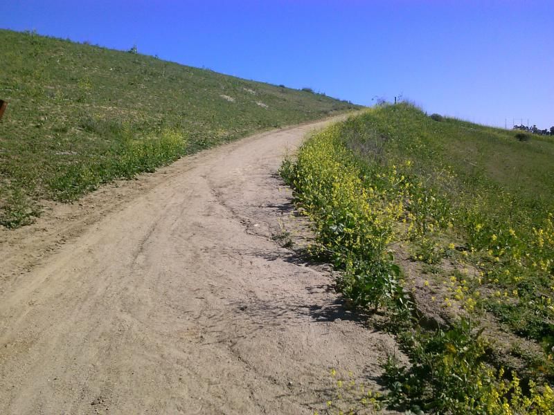
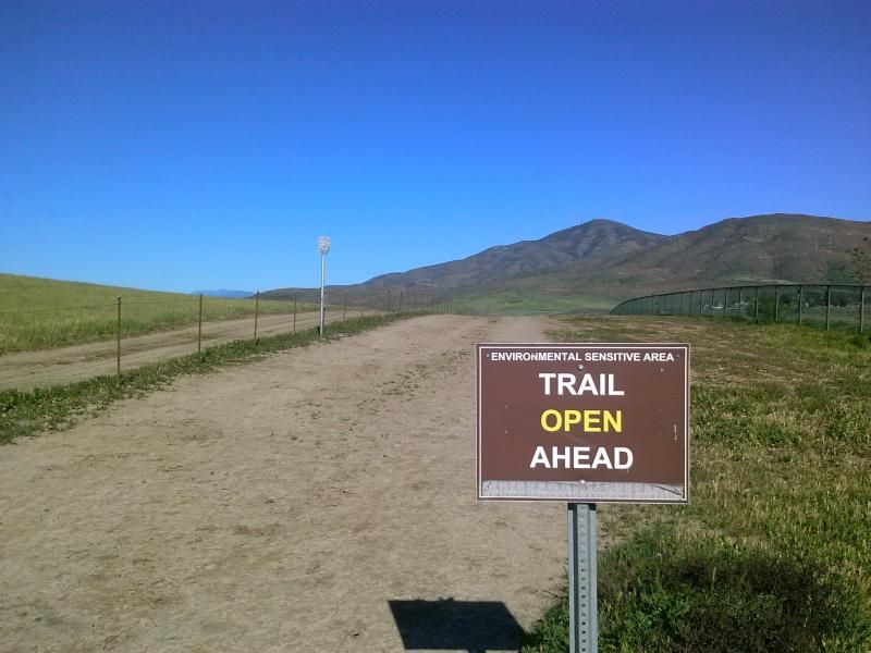
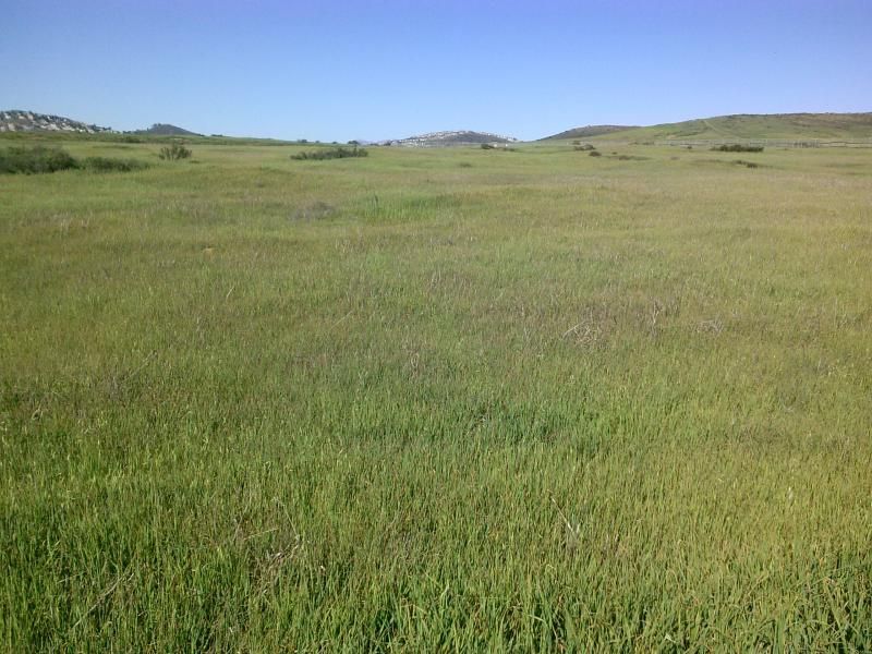
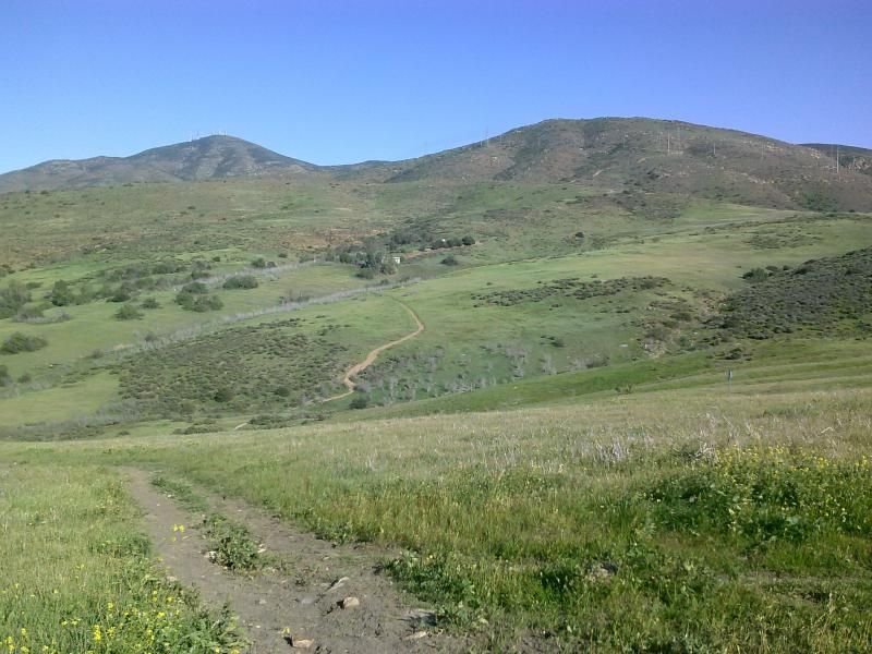
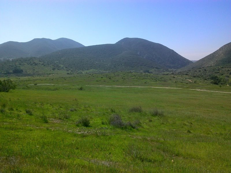
My trek begins at the parking lot at the far west end of Mast Blvd in Santee. I cross the grasslands to my destination atop the mountains straight ahead.
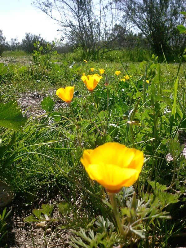
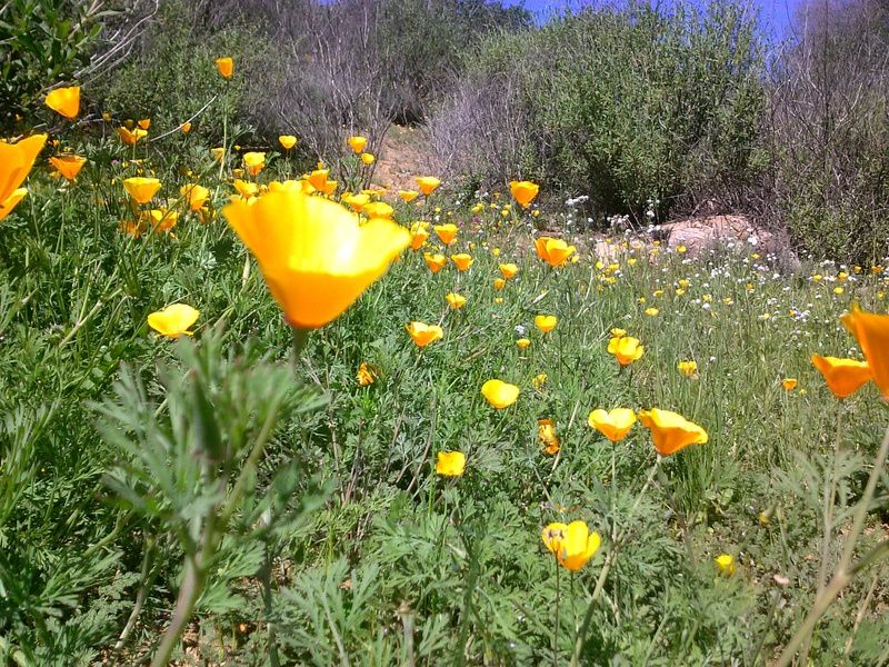
The wildflowers were putting on a show.
Looking south towards Kwaay Paay Peak (center) and Pyles Peak (just to the left).
There is quite a bit of poison oak along the more shaded parts of the trails.


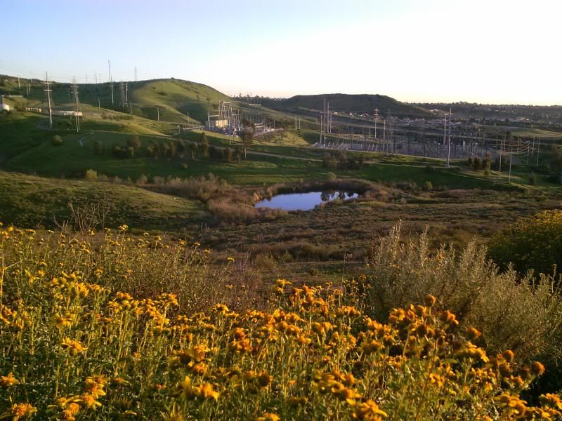
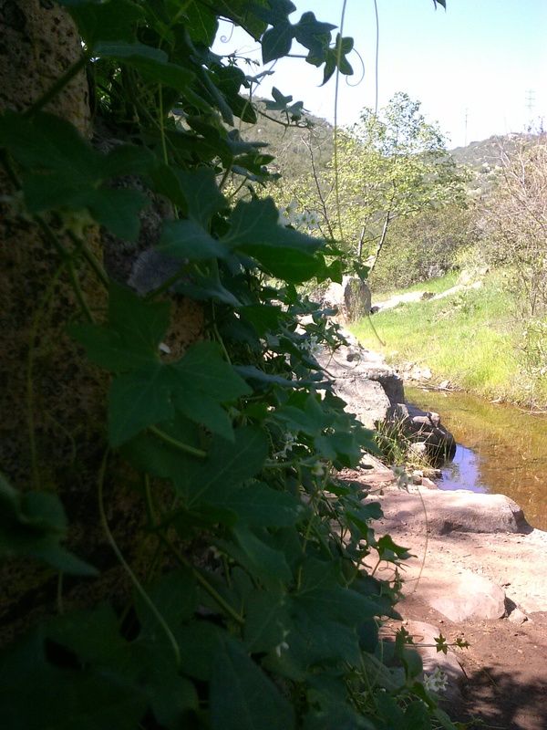
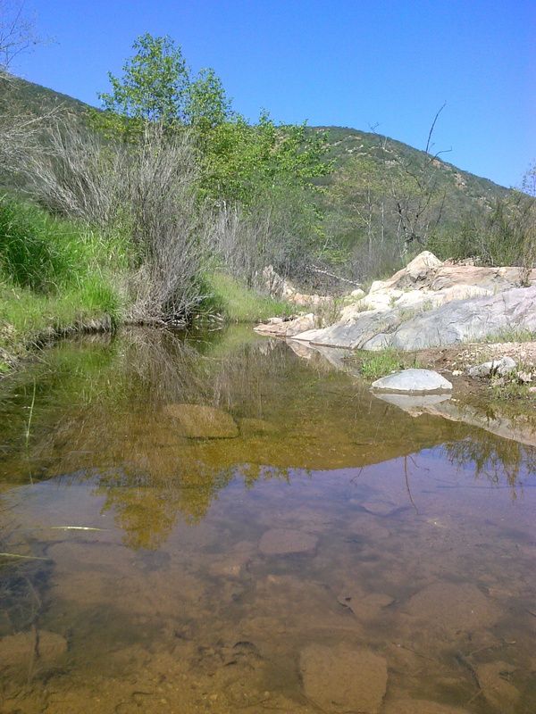
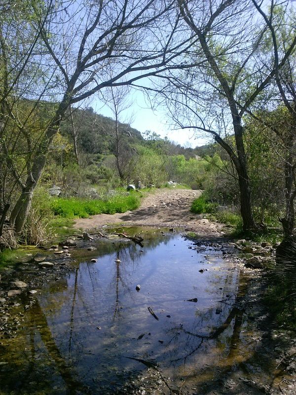
Oak Canyon still had a bit of water left over from the rain a few weeks ago.
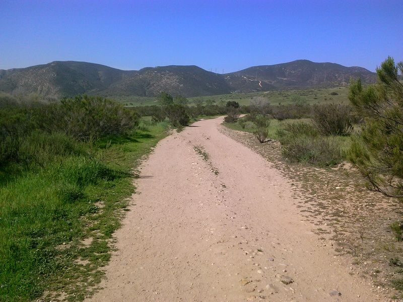
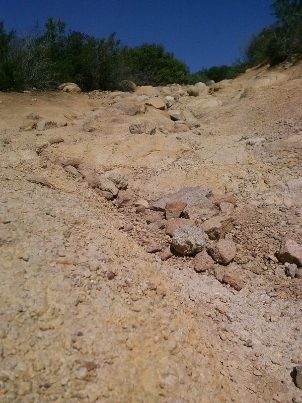
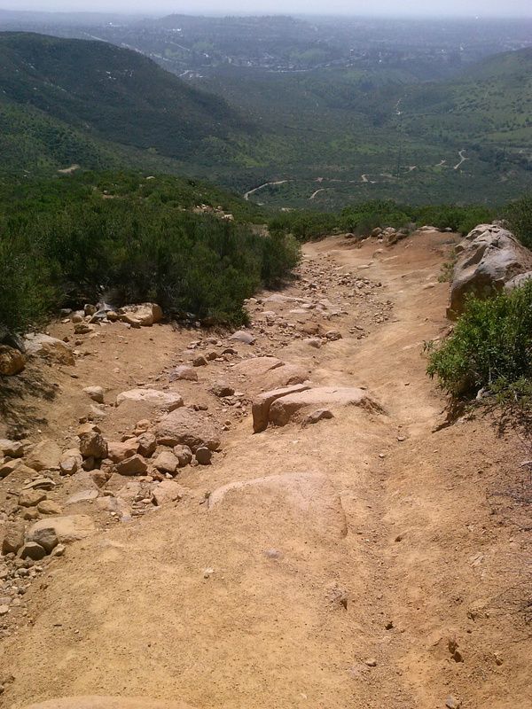
Start of the steep climb up the service road to Fortuna Saddle. As you near the saddle, the road becomes so steep its difficult to keep from slipping in the loose dirt.
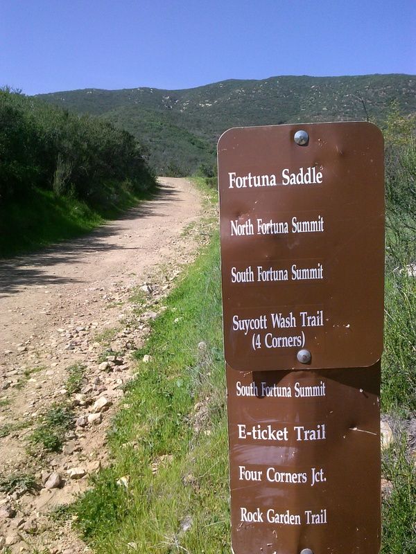
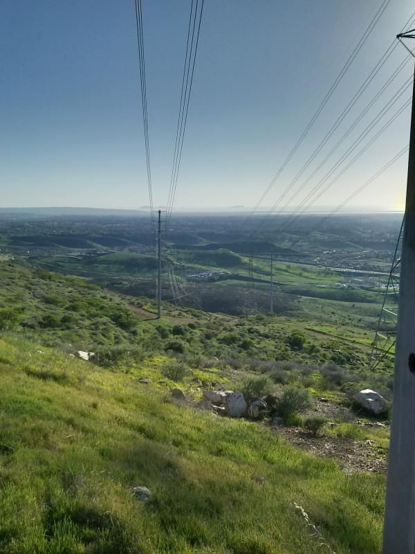
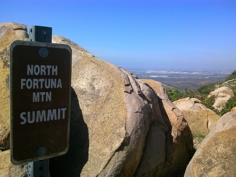
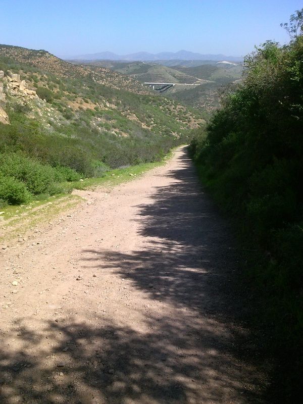
Looking back I can see Highway 52 and beyond that, the peaks of Mount Woodson and Iron Mountain in the distance. Once at the saddle I turn right up the eroded firebreak to North Frotuna's summit, which is marked by an outcrop of granitic boulders.
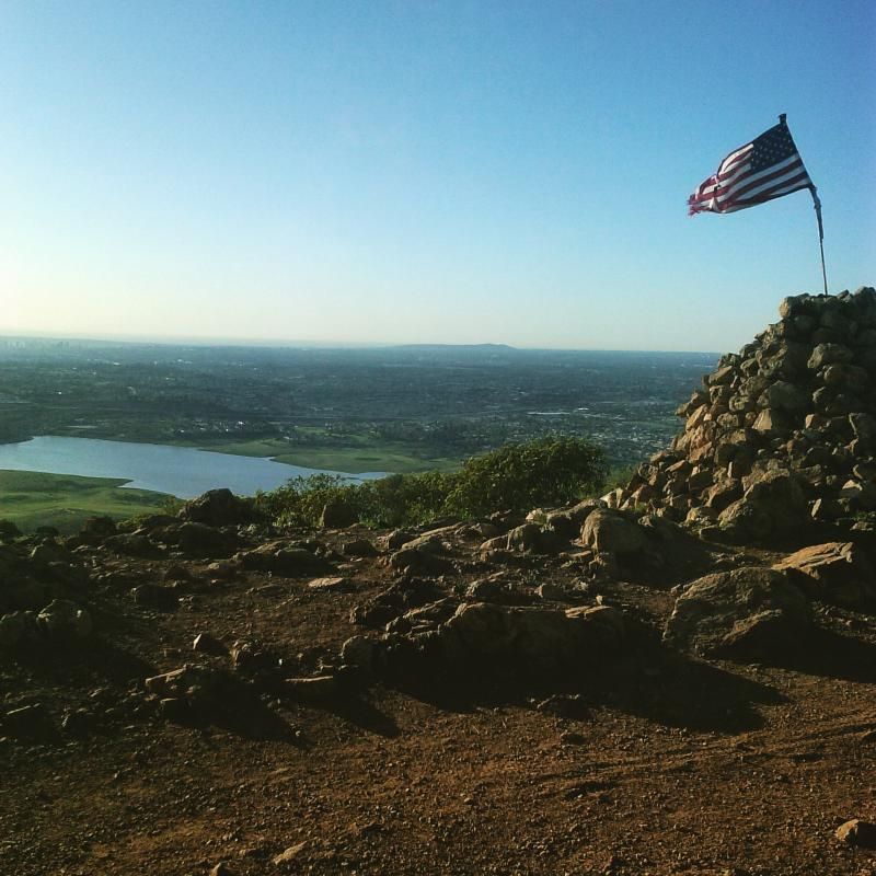
This section of trail was a steep 1/2 mile climb with some spots of rather loose gravel under foot. Reaching the top, a height of 1291 feet, I rested among the boulders to take in the view. From here, I could see highway 52 wrap around the park on the east and north sides, as well as views of downtown and the ocean to the west.

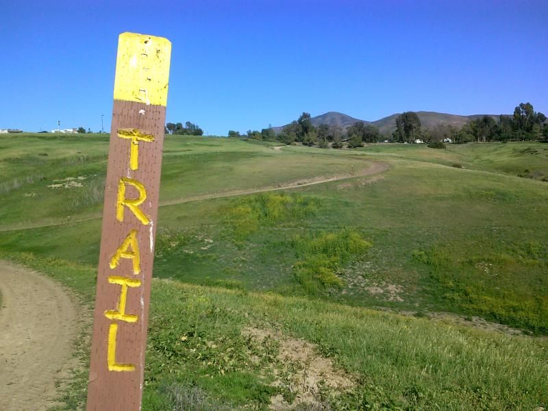
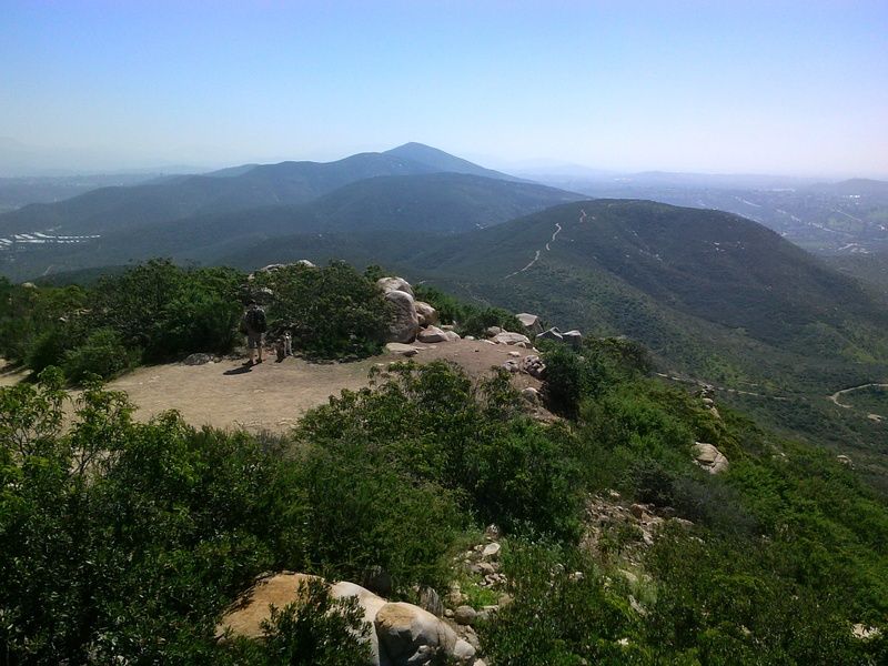
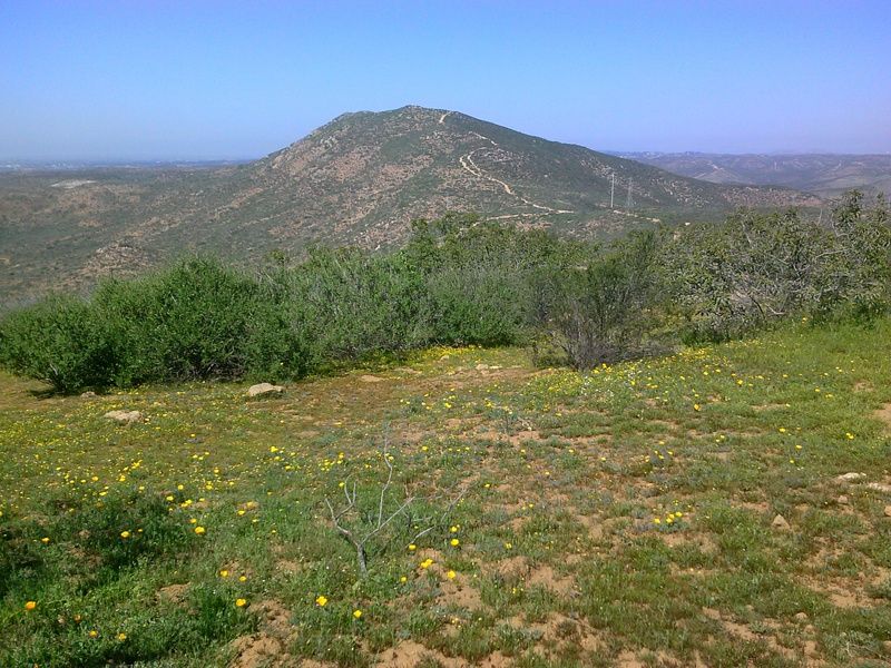
Looking south I can see my route to South Fortuna summit, with the tops of Kwaay Paay, Pyles, and Cowles Mountain just beyond.
Working my way down from the north summit.
From here my route led back down to the Fortuna Saddle, a small dip between the two summits with a row of towering electric lines above. The trail to the south summit was easier that my earlier ascents, just a gradual climb among the usual chaparral.
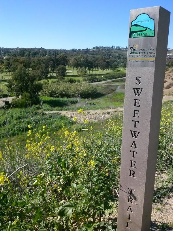
More wildflowers along the way.

Looking back at the trail leading up to the north summit.
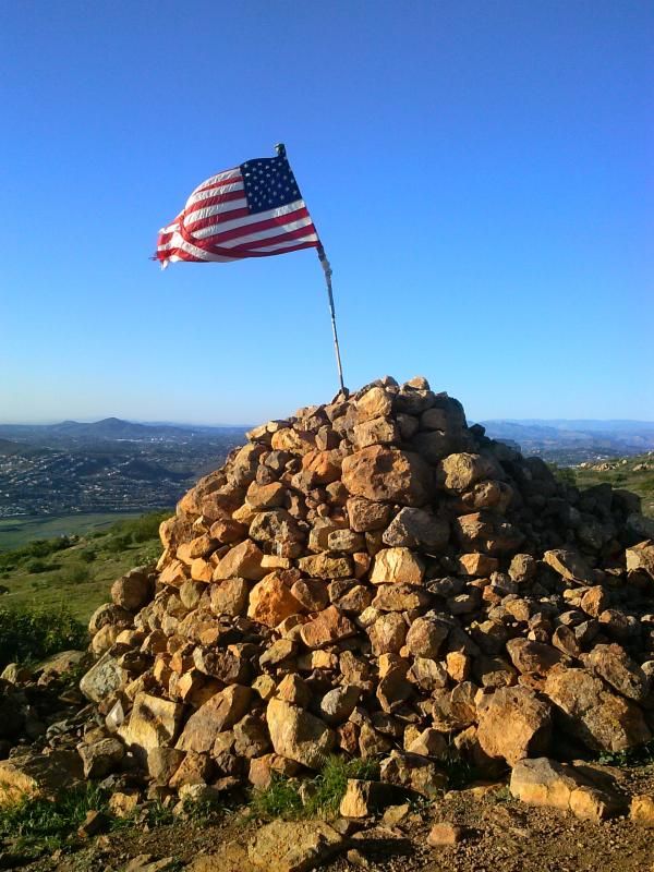
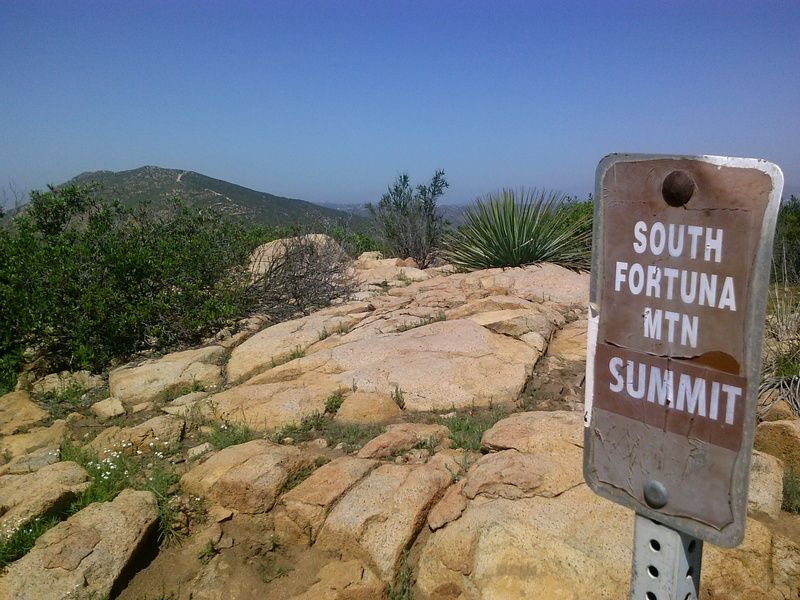
Finally reaching the south summit. Its broad peak doesn't lend itself to views as good as seen from other nearby summits.
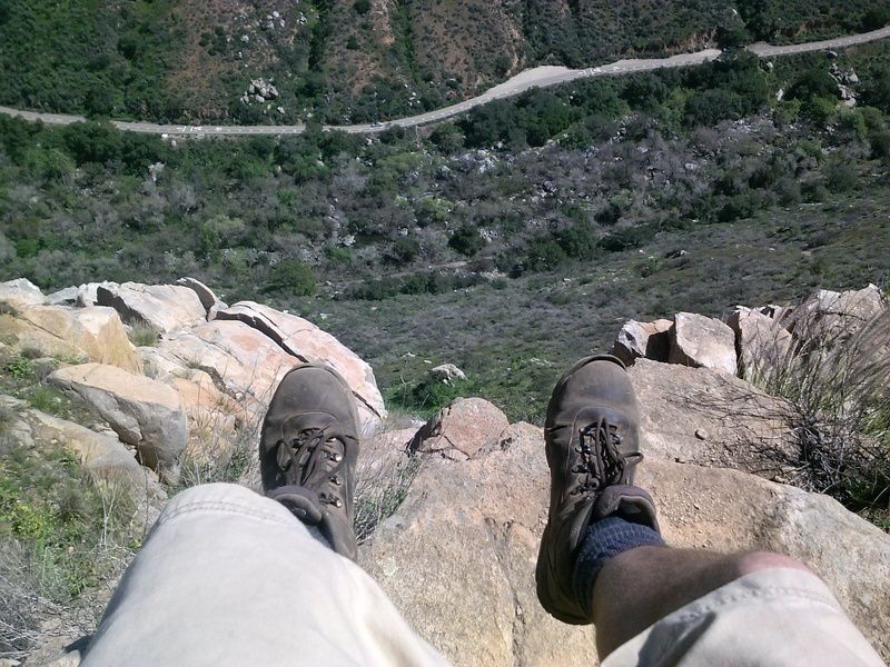
Another obligatory shot of my boots dangling precariously over the edge.
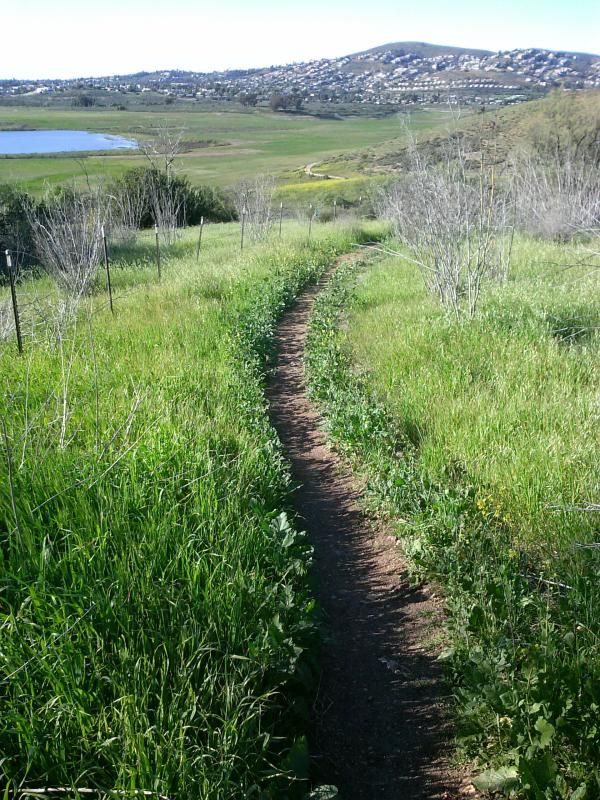
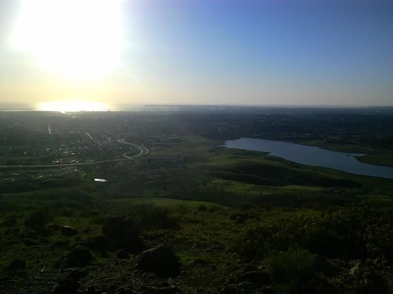
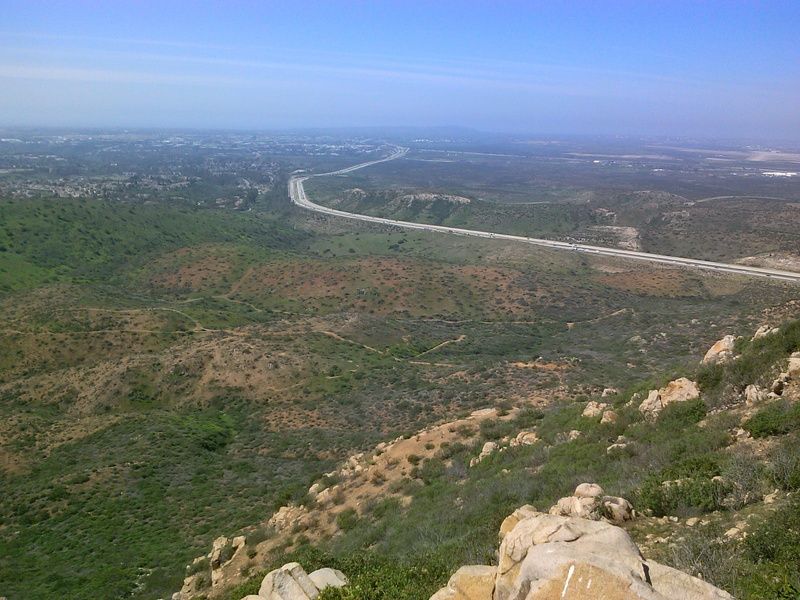
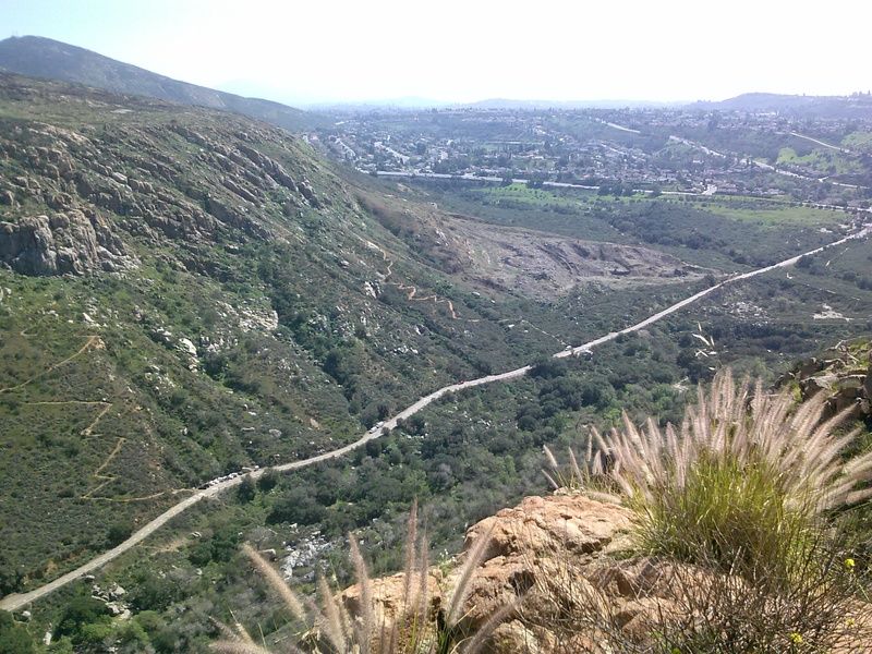
Just below the summit is a great spot to take in the views. Towards the west I could make out the outline of downtown, Point Loma, and the Pacific Ocean beyond. Below was the San Diego River, with the paved Father Junipero Serra trail running along side it. Looking across the river to the southeast, I could make out the antenna topped peak of Cowle’s Mountain. To the east was Santee and the other side of Mission Trails Regional Park.
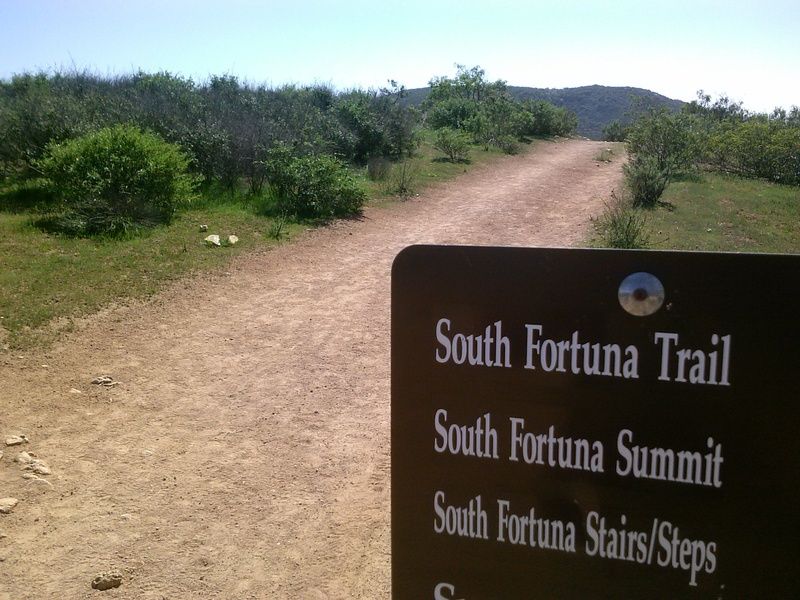
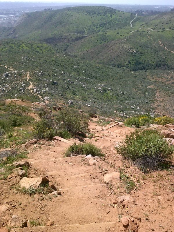
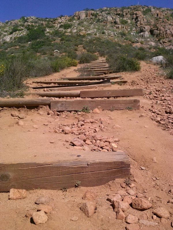
Now it was time to descend the South Fortuna stairs, or the "Stairway to Heaven", as some call it. This staircase of wood planks, anchored into the mountainside with steel bars, is very steep so take care to not loose your footing here.
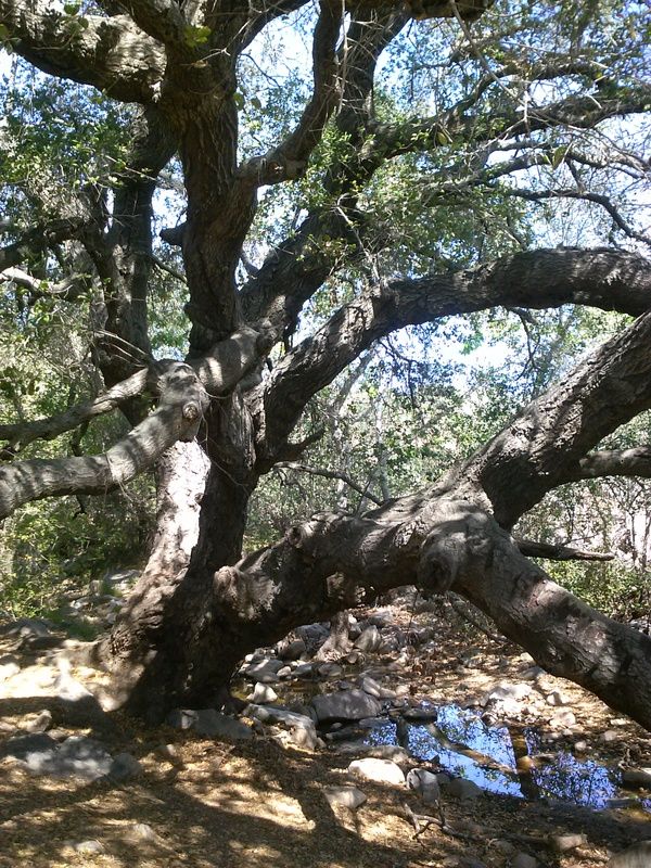
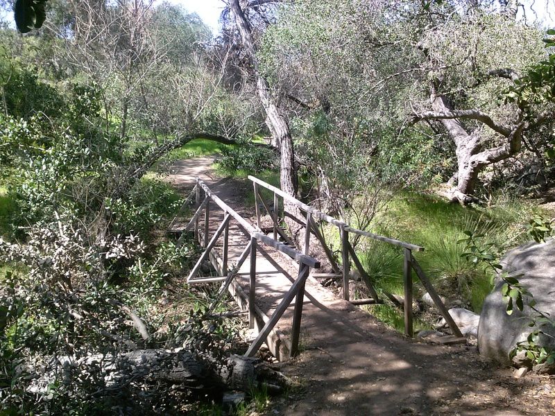
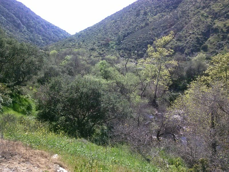
This strip of oak woodland is known as Suycott Wash. In places the creek trickles over boulders, and oak limbs arch overhead in an intricate tangle. There is an abundance of poison oak in the area.
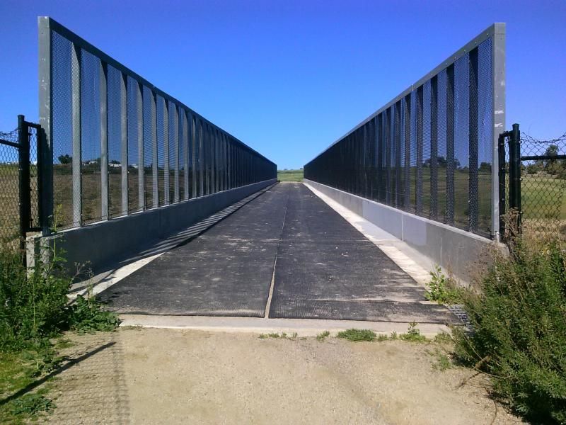
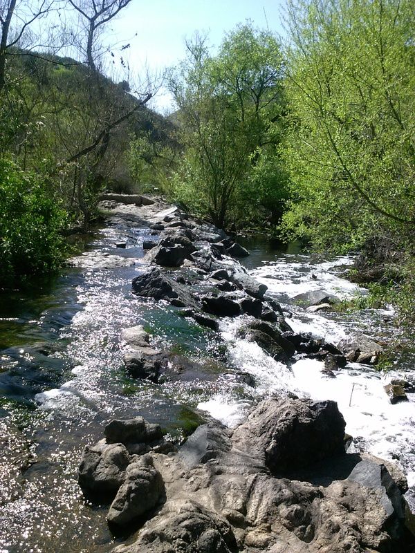
Coming upon a couple crossings of the San Diego River.
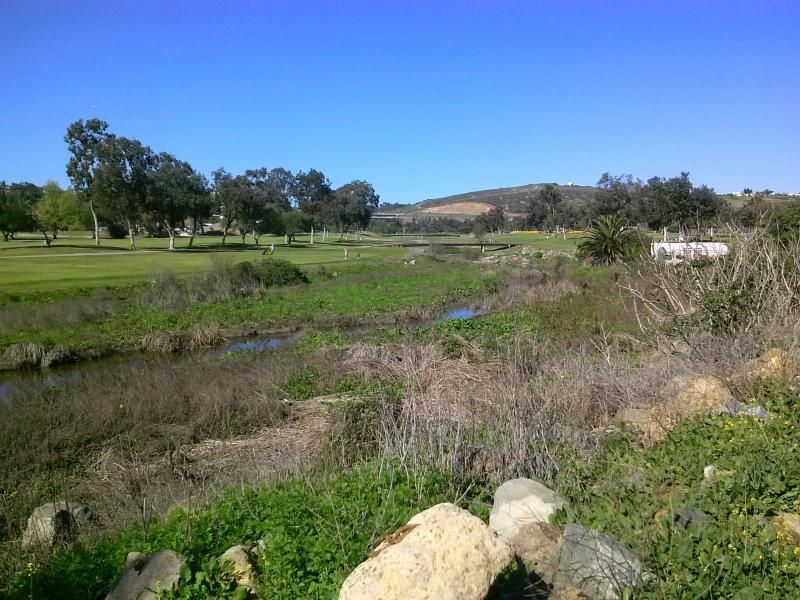
The river volume has fluctuated from as little as about one cubic foot per second in a dry summer to a winter record high (in 1916) of about 70,000 cubic feet per second. Most of the year, it’s safe to say you won’t have a problem.
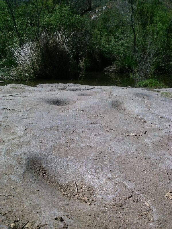
Along the riverbank you'll come across evidence of Native American habitation here; bedrock grinding holes.
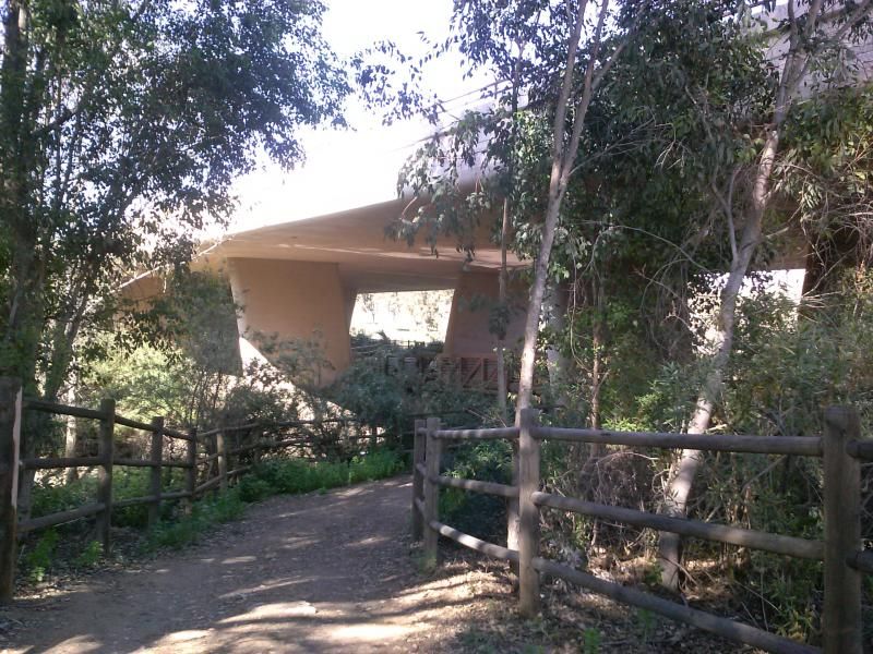
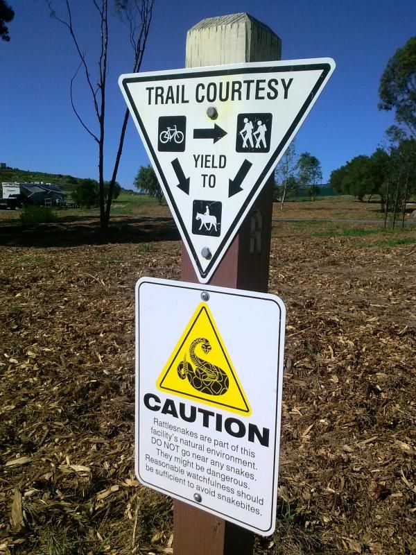
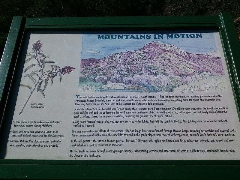
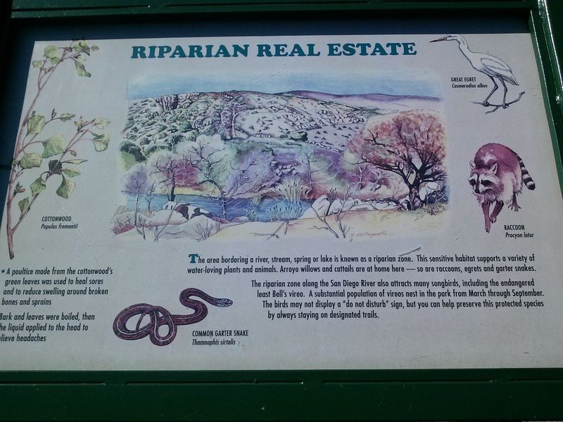
A few informative plaques along the way.
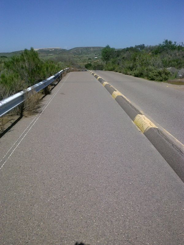
Unfortunately I had to endure a bit of road walking on my return trip. Father Junipero Serra Trail, the original road through Mission Gorge, has been reconfigured with a divider down the middle. One side is for one-way car traffic, while the other is a two-way paved path for bicyclist and pedestrians.
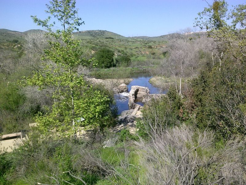
Looking down at Old Mission Dam.
One final crossing of the San Diego River before passing back through the grasslands and to the parking area.

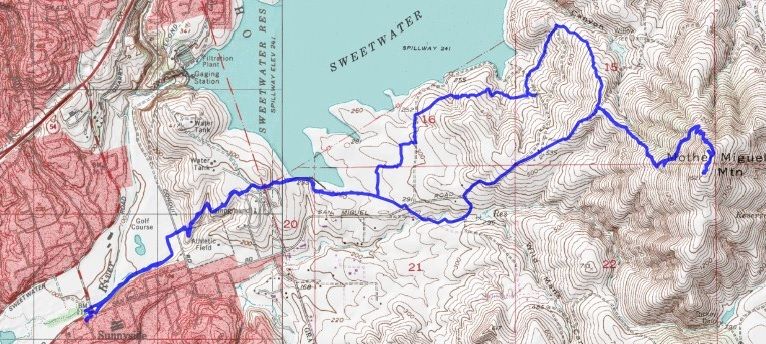
Overview of my 10 mile route.