Tuesday, December 13, 2011

Thanksgiving River Trip: Nov. 25-27th, 2011

Thursday night, my family and I loaded up all our gear into our newer Jeep and headed out to meet family and friends at one of our favorite areas along the Colorado River. While I usually primitive camp in this area, we decided to stay at the Imperial Valley Hunting & Fishing Club on Ferguson Lake. The road into the lake, named Ferguson Lake Road (EC800), heads away from the Colorado River just inside the Califonia state line. The All American Canal passes under near the beginning of the road, near the start of its long journey west to irrigate the enormous market gardens of Imperial Valley.

Many of the large backwater lakes, such as the one we were camped at, were created when the Imperial Dam was constructed in 1938, to harness the flow and energy of the river. Settlements such as old Picacho, once the river port for the nearby Picacho Mines upriver, were inundated by rising waters. At the same time, larger areas of water provided greater recreational opportunities. The northern end of Ferguson Lake Road terminates just south of the Imperial National Wildlife Refuge, which was created in 1941 to safeguard the area's plant and animal life.

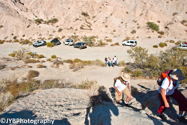
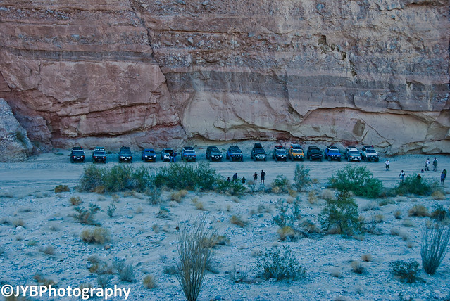
The dirt road into the lake is normally smooth and well graded, although conditions can rapidly change after rainstorms. Many of the spur trails off the north side of the road require 4wheel drive. A viewpoint 5 miles past an RV campground provides a panoramic view of Ferguson Lake, the Castle Dome Mountains in Arizona, and the Chocolate Mountains in California. There are several excellent areas to camp along the lake that also provide a place to launch a boat.

Unfortunately, I started getting sick the day we left so I didn't do as much as I wanted to. It was still a good time hanging around camp with family and friends.


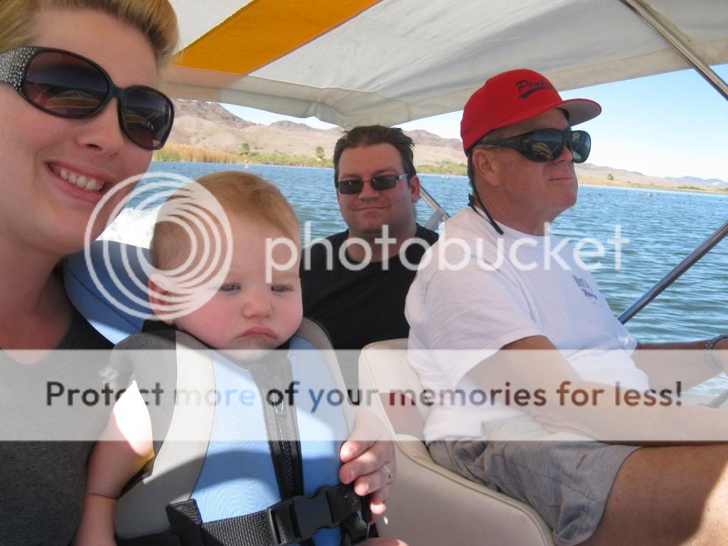
Autumn and Audrey waiting for breakfast. This was also my daughter's first river trip.

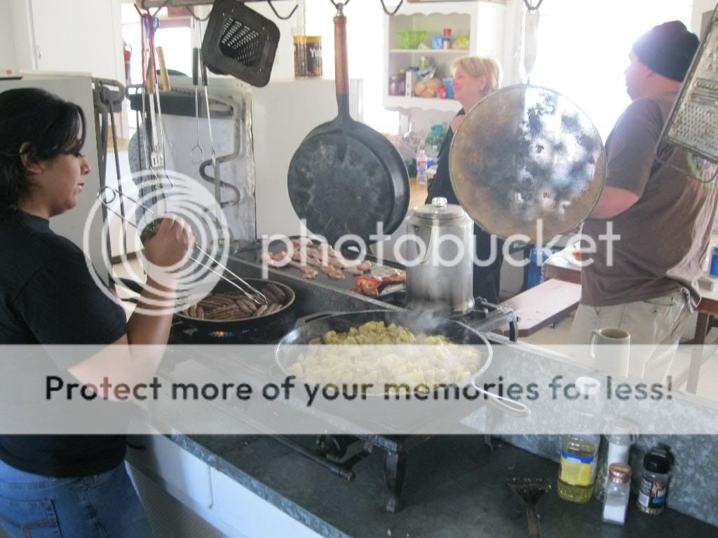
There was no shortage of food on this trip!


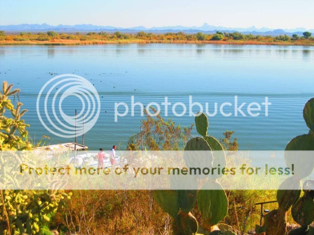
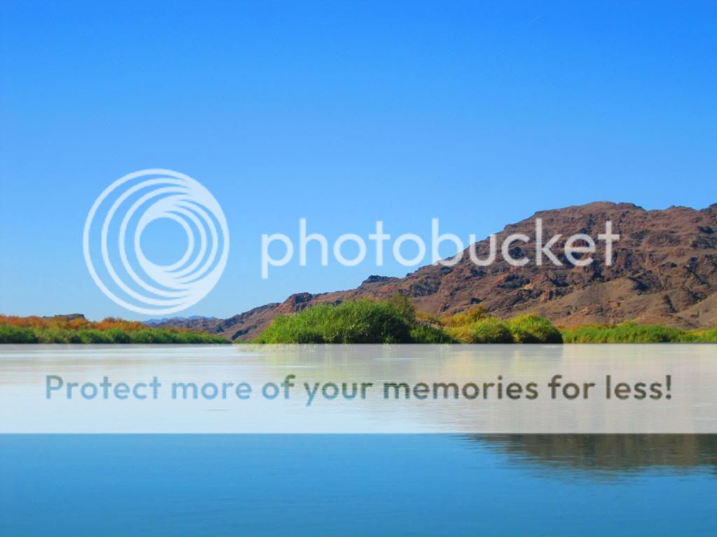
Looking out over the boat dock and lake.

My parents, sister and brother-in-law coming in with their jet boats.

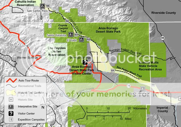
Distant view of the Castle Dome Mountains in Arizona. One of the areas I'll be exploring in my upcoming SoCal & AZ Overland Adventure.

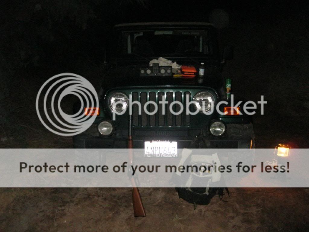
Hangin' out on the back porch.

Sunrise on Ferguson Lake.

Heading down river to one of the sand bars.

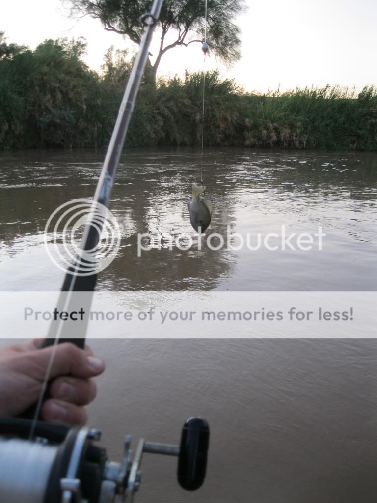
There was football, horse shoes, skiing, and fishing here.  

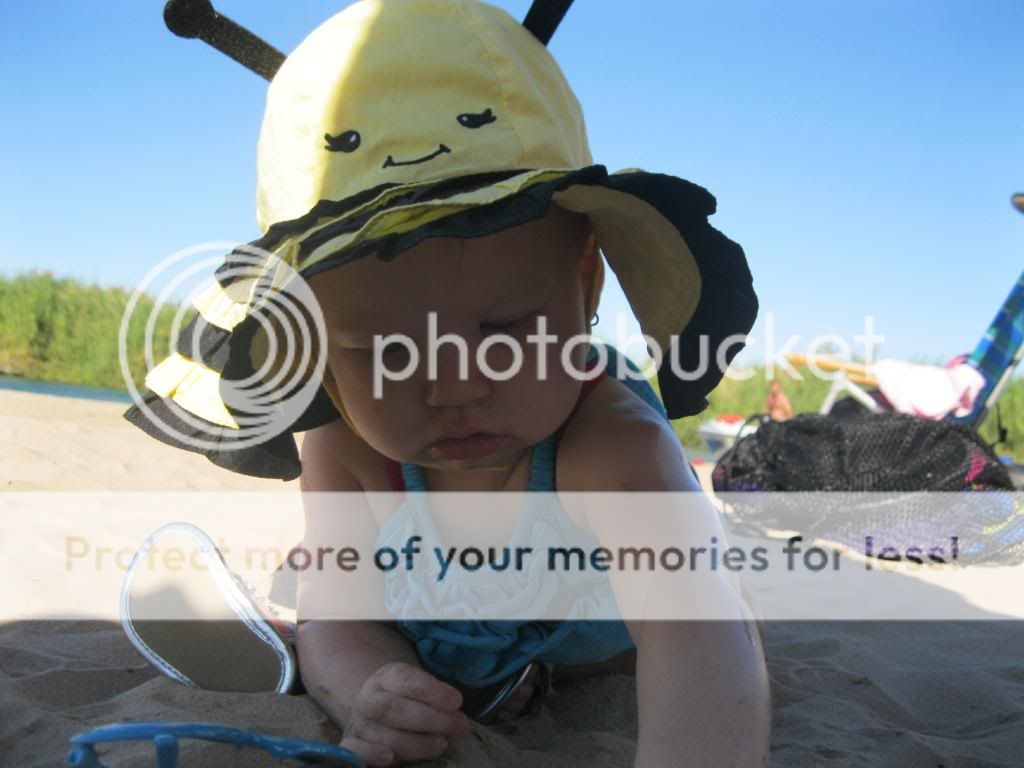
She just loved the sand!

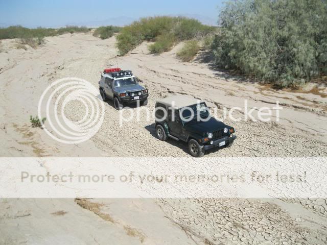
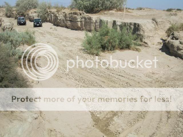
Rollin' on the river...

Monkey Island.

Entrance to one of the many backwaters along the river.

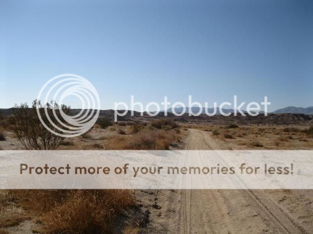
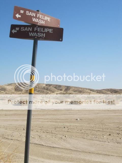
On they way home I drove along the All American Canal, checking out potential fishing spots. I only saw a few, as much of the bank was very steep. I'll have to do more scouting when I'm out there again.

OAUSA 2011 BorregoFest Event


This was one of the best BorregoFest yet! My wife and then 7 month old daughter were able to come along as well. Last year was my only solo trip, since Autumn was pregnant.

From the large group that showed up on Friday, the event was off to a good start. Ollie led a run out to the Mud Caves, an amazing site for those who haven't been... then we had the fantastic presentation from Diana Lindsay on the Ricardo Beceda sculptures...

Saturday started early, and we headed out for a terrific day on the trails. I led the Anza Expedition Route run, Ollie led a run From Canyon Sin Nombre to Fish Creek and Split Mountain, and Tom guided a group through Truckhaven Hills. Everyone got back to camp in time to get ready for the pot-luck dinner - and quite a spread was put out by the entire crew. Some incredible fare - no one left hungry Saturday night.

Sunday was the amateur radio testing session, which drew folks in from San Diego who weren't even attending Borregofest. Then it was on to the raffle, where some spectacular prizes were given out to some lucky participants. Everyone got packed up, said their good-byes, and some of us made one last trip - touring through Borrego Springs to see the sculptures we learned about Friday night...

No trail tragedies, no camp incidents, great weather all weekend. Definitely one of the best BorregoFest so far.

 
Photo by Ollie.


Photo by Ollie.


Tuesday, October 11, 2011

Fishing Imperial Valley: Sept. 2011

There are some big fish lurking in the canals and rivers of Imperial Valley. For years I've been driving right over them on my way out to the Colorado River. Now I want to make an effort to target the Flathead Catfish that inhabit the Alamo River and other canals around El Centro.

I've been getting my gear together lately and been waiting for a chance to head out. Well my chance came up so I packed up and headed out. At first I didn't have any luck making bait around the Central Main Canal or All American Canal so I figured I'd head up to Calipatria to buy some goldfish but the store closes early on Saturdays. I ended up finding a nice little canal with some slackwater and managed to pull out four nice fat bluegill until an hour before sunset. Then it was time to find a spot on the Alamo River, a.k.a. Mo. Since it was my first trip and I didn't have too much time I settled for a well used spot right off the road. It was really disappointing seeing all the trash just strewn about such a nice place to fish. So after getting my bait hooked up and in the water, I cleaned up as much as I could.

Around 8pm I got a good run but he mush have spit the bait. At 9:30pm I got another and managed to bring in a 9 pound Flathead. That was it for the night. I fished until 1am and wanted to stay longer but knew that if I did, I would be too tired to drive home safely. There was a nice breeze and I had no problems with mosquitoes. I had a blast! Looking forward to my next trip.

Checking out Sunbeam Lake. This might be a good place to catch blugill for bait.

Central Main Canal.

If you look close you can see a catfish hanging out in the murky shallows.

I bet there's good fishing at these drops.

Grass Carp chillin' at the surface. These fish are protected, as they help keep the canals clean.

I finally find a place that holds some nice size bluegill.

Flathead Catfish cruise the shallows at night looking for these guys to eat!

I find a spot to fish close to the road. Its nice, except for...

...all the trash left from other fishermen.

So I clean it all up. Hopefully the next person will be more considerate.

Baited up and ready to go.

It turns out to be a very nice evening.

On the second run of the night, I manage to bring in this 9 pound Flathead.

After a few pictures I release him to swim again and get bigger.

There's gotta be a better method than using my hood as a table.

At least I beat the skunk!


Saturday, September 17, 2011

2011 OAUSA BorregoFest Pre-Run: Anza Expedition Route

Old Borrego Valley Road-San Felipe Wash-Old Kane Springs Road- Carrizo Wash

Old Borrego Valley Road marked the beginning of this run, from just east of The Narrows to Ram's Hill in the Anza-Borrego Desert State Park. Before County Road S-22 was built, this was the road taken to Borrego Springs after coming from Warner Springs down Grapevine Canyon. An electrical substation on the south side of Hwy 78 marks this turnoff into San Felipe Wash and up into Cactus Valley. This route, which used to be the only access into Borrego Valley, now passes through a quite, serene and little visited portion of the desert. Our route then took us through Borrego Sink and onto San Felipe Wash. Much of this run followed the wide, sandy course of San Felipe and Carrizo Wash.
 
These trails also cover part of the Juan Bautista de Anza expedition routes of 1774 and 1775. Juan Bautista de Anza was the first European to establish an overland route from Mexico, through the Sonoran Desert, to the Pacific coast of California. 


Our starting point at Old Borrego Valley Road.

It may look barren to others, but I enjoy the beauty of the desert.

Ollie and I airing down at the trail head.

View of Borrego Valley in the distance.

Closing in on Borrego Springs.

Ollie, bringing up the rear of our small off road convoy.

Making our way through Borrego Sink.

The Anza expedition arrived at the original Borrego Spring, near this location, 5 miles southeast of the present-day town of Borrego Springs, on March 12th 1774, where he encountering 60 Kumeyaay Indians. A historic marker here indicates that Anza named the spring San Gregorio.


The Borrego Badlands, located to the north or our route.

Now entering the wide, sandy course of San Felipe Wash.

Part of the route along San Felipe Wash travels through the Ocotillo Wells OHV Area.

On this day we had the whole desert to ourselves.

A quick stop to reflect on the history of this area.

The Highway 78 bridge offers some welcome shade.

From here, San Felipe Wash starts to narrow.

You would not want to be here during a flash flood.

The trail quickly becomes a narrow maze of deeply cut washes.


We soon find our way to Pole Line and Kane Springs Road.

San Sebastian Marsh boundary at Carrizo Wash.
  
The unique, water-based habitat along San Sebastian Marsh has supplied a permanent, dependable source of water for people and wildlife since ancient times. The marsh was a stopping place for the Spanish explorer de Anza, who named it after his Indian guide Sebastian Tarabel and after trading with some 400 Kumeyaay assembled there, continued northwest up San Felipe Wash into the Borrego Valley.. The marsh is the only designated critical habitat in California for the desert pupfish, an endangered species. Because of its importance in sustaining this unique marshland environment, San Felipe Creek and San Sebastian Marsh is a registered National Natural Landmark. It has also been designated an Area of Critical Environmental Concern (ACEC). The area around the creek and marsh are easily damaged and very sensitive. The marsh is closed to vehicle use, with closure of boundaries clearly posted.

 We had a great time dodging the mud holes along Carrizo Wash.

Our route begins to widen out through Carrizo Wash.

Nearing the end of our journey.

From here we follow the trail along the Gypsum Mine railroad track to Split Mountain Road, which marks the end of my Anza Expedition Route.

With two vehicles we were able to cover 54 miles in about 3 1/2 hours. I'll be looking forward to leading this run for a larger group during OAUSA's 2011 BorregoFest  event in October.