Saturday, December 31, 2016

Hike #67 Horsethief Canyon

52 Hike Challenge Adventure Series

3.5 miles | +500'


"The Cleveland National Forest's Pine Creek Wilderness, created in 1984, encompasses more than 13,000 acres of chaparral covered slopes and riparian woodland south and west of the Laguna Mountains. A 15 mile stretch of Pine Valley Creek meanders through the heart of the wilderness, flanked by sloping walls up to 1000 feet high. Motorists eastbound on Interstate 8 can catch a glimpse of this impressive gorge when crossing the Pine Valley Bridge, the highest bridge in the Interstate Highway System." -Jerry Schad

Hike #66 Cuyamaca Peak

52 Hike Challenge Adventure Series

6 miles | +1700'


Barely an hour's drive east of central San Diego lies San Diego County's largest and most varied mountain recreation area: the Cuyamaca Mountains. The elevation here ranges from about 3500 feet at the rural community of Descanso at the south end of the range, to a maximum of 6512 feet at Cuyamaca Peak, the second highest summit within San Diego County. 

On a few days each year, when snow accumulates, it is possible to reach the summit of Cuyamaca Peak on cross-country skis. The steepest, uppermost parts of the trail, however, make for a slippery and possibly dangerous decent.

This was my first real snow hike. I had to break through a foot of snow to reach the peak. The whole hike took an additional two hours to complete and I was exhausted after postholing through it all.

Hike #65 Return to the La Jolla Caves

52 Hike Challenge Adventure Series

1 mile


The first big grotto you come to soars some 50 feet high and pinches in toward the rear. Let your vision adjust to the low light inside. The sandstone walls are stained with a rainbow of colors: red and orange from iron oxide, greens and grays from plant life, and purple from iodine in kelp. In the back of the cave is a low passage leading to an adjacent grotto. Enjoy, but do not forget about the incoming tide!

Hike #64 Villager Peak

52 Hike Challenge Adventure Series


15.5 miles | +5100'


Dotted with weather-beaten pinyon pines, Villager Peak in the southern Santa Rosa Mountains rises nearly a mile above the lowlands of Anza-Borrego Desert. Serious "peak baggers" from around the state are drawn to its summit which, due to its remoteness from any road and its high elevation, steadfastly resists any easy approach.

Some people take a full two days to backpack the waterless and mostly trail-less, 13--plus-mile-round-trip standard route; others like to zip up and down in a single day. As daylight periods increase into the spring season, the latter option is more tenable, but only for those who are in top physical shape and who are willing to hit the trail by dawn's first light. Others are invited to try just the first part of the trek. Simply climb upward until you are "half-tired" and save the other half of your strength for the trip back down. The higher you go, the more rewarding the view.

A faint path marked by small piles of stones takes you over this dissected terrain to the base of the long, ramplike ridge that trends north all the way to Villager Peak. The initial climb is very steep, but the route soon levels off to a rather steady gradient averaging about 1000 feet of elevation per mile. Stay on the highest part of the ridge to remain on route, which is at times traced by a rough, informal trail.

Glistening specimens of barrel cactus, hedgehog cactus, and silver, golden, and teddy-bear cholla cactus grace the slopes below 3000 feet elevation. A spiny gauntlet of agave thorns at the 3000 to 4000 feet may hinder your progress a bit. At 4100 feet (4.3 miles), you walk along the brink of a spectacular dropoff overlooking Clark Valley.

Thereafter, the ridgeline you're following becomes quite jagged. Pinyon, juniper, and nolina -- typical "high desert" vegetation -- appear. At 6.5 miles, you finally reach the rounded, 5756-foot summit of Villager Peak, and clear-day views extend 100 miles or more in many directions.

A clear, calm, moonless night spent camping on the summit is an unforgettable experience. Despite the horizon glows of cities from Los Angeles to Mexicali, the stars above shine fiercely in a charcoal sky. At dawn, the silvery surface of the Salton Sea mirrors the red glow spreading across the east horizon.

Hike #63 Little Picacho Peak

52 Hike Challenge Adventure Series

9.5 miles | +800'


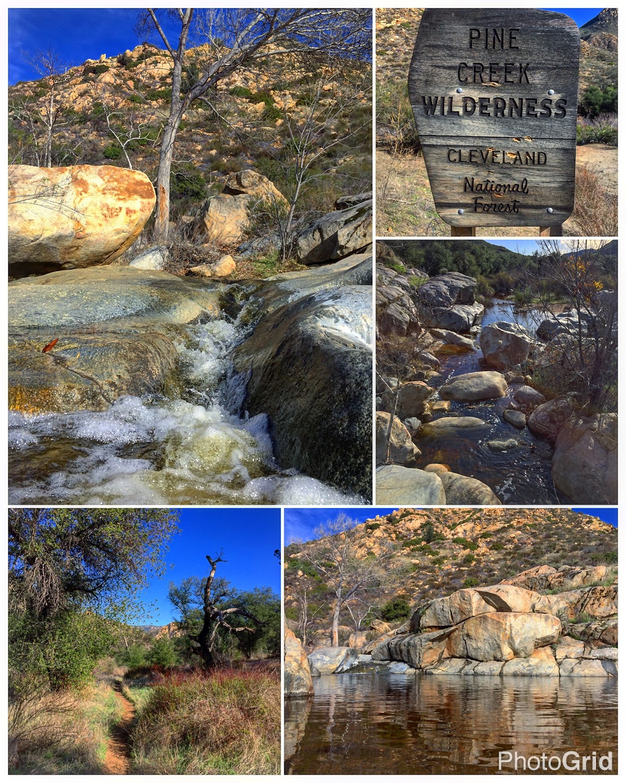
The Little Picacho Wilderness occupies a small corner of Imperial County, just few few hours east of the San Diego County line. I've always considered it a hikers paradise, with countless washes, canyons, ridges, wind caves, and peaks to explore. One summit in particular, Little Picacho Peak, caught my interest years ago, so on this trip I wanted to tackle it with my brother-in-law. After a long track through a narrow slot canyon, we took a somewhat spiral route up towards the summit along a very narrow trail clinging precariously to the steep sides, but stopped just short of it. The last ascent would involve negotiating a near vertical crag up the sheer rock face. I found another route that seemed less sketchy but we were running short on time and decided to save it for another day.

"The Little Picacho Wilderness, located in southeast Imperial County 55 miles from El Centro and designated Wilderness in 1994 with a total of 38,214 acres. This area is under the jurisdiction of the Bureau of Land Management.

The Little Picacho Wilderness occupying the southern portion of the Chocolate Mountains is characterized by spectacular, steep, rocky outcrops and striking, jagged ridges with elevations ranging from 200 to 1,500 ft. In the northern portion, amid numerous ravines, Little Picacho Peak soars to an elevation of 1,193 ft. gradually descending to sandy, tree-lined washes.

Colored angular cobbles known as desert pavement can be seen on the arid, vegetation bare slopes and plains in this area. Desert bighorn sheep, the Picacho Wild horses and wild burros can be seen roaming a 5,000 acre range in the northwestern corner. To the east the wilderness is bounded by the Colorado River which supports an adjacent diverse riparian habitat."

Hike #62 El Cajon Mountain

52 Hike Challenge Adventure Series

13.5 miles | +4550'


El Cajon Mountain, or "El Cap" as the locals call it, has often been touted as San Diego's hardest hike. Uphill both ways is a good description. It's definitely on my top five. I've been looking up at this beast of a mountain for so long thinking, some day... Well the day has arrived and I'm happy (and exhausted) to have finally conquered this summit.

Hike #61 Sunset Cliffs Natural Park

52 Hike Challenge Adventure Series

1.5 miles


One of my greatest joys comes from inspiring a sense of wonder, curiosity, and appreciation for the natural world within my children.

Sunset Cliffs is a wonderful land of cliffs jutting out into the ocean, caves to explore, beautiful vistas and hills, fun trails, gorgeous rock formations, and, of course, amazing views of the ocean, perfect for sunsets.

Hike #60 La Jolla Caves

52 Hike Challenge Adventure Series

1 mile


Usually only accessible from the water, some of the La Jolla sea caves come within easy reach for hikers during extremely low tides. Here, wave action from infrequent storms has gouged out a series of sea grottos. The tidepool areas show much evidence of biochemical weathering; the breakdown of the structure of the rock by the secretions of urchins, barnacles, and other sea creatures.

Hike #59 Scripps Coastal Reserve

52 Hike Challenge Adventure Series

1 mile


Scripps Coastal Reserve occupies nearly one thousand acres in La Jolla, California ranging across a complex landscape including mesa top, coastal canyon and bluff, sandy beach, rocky intertidal, submerged coastal plain and deep submarine canyon.


The upland portion of Scripps Coastal Reserve, known as "the Knoll", is the mesa overlooking the Pacific Ocean. The Knoll features a half-mile, mostly flat, trail with interpretive signs that meanders through largely native habitats and wildlife. The westernmost point offers a beautiful view of the ocean, the famous Black’s beach and surf break, and downtown La Jolla. On a clear day, visibility reaches 30 miles or more, and the Los Coronados islands may be visible in Mexico to the south. The area has been heavily used for over 8,000 years, most recently for farming, grazing, and military training, prior to the gradual recovery of natural habitat, the site’s acquisition by the University of California, and the establishment of the upland area as part of the reserve in 1980.

Hike #58 The San Diego River Trail

52 Hike Challenge Adventure Series 

1.25 miles


The San Diego River Trail is a critical piece in the planned 52 mile-long San Diego River Park system. The trail will reflect the area it traverses from wilderness-type experience in the upper reaches to a more urban feel in Mission Valley. The trail system will also connect with existing and planned trails along its length. If you are interested in supporting this vision with your time, talents or funds, please contact the San Diego River Park Foundation to learn how you help complete the River Trail.

Hike #57 Oakoasis Preserve

52 Hike Challenge Adventure Series

3.5 miles | +500'


Just off Wildcat Canyon Road in Lakeside are several open-space preserves. The smallest, Oakoasis Open Space Preserve, offers nearly 400 acres of boulder country with two very special draws: an oak oasis and SWEEPING views of the San Vicente Reservoir.

The acreage was a gift to the county from the Margaret Minshall Family in the late 1980s. Margaret Minshall had been a PHYSICAL education teacher at Hoover High School who built a cabin here in 1936 and later operated a summer camp with horseback riding. Her old cabin burned in the 2003 Cedar fire, which consumed 95 percent of this preserve. Today, the oak trees are spreading their shade again, and recovery appears well under way.

Hike #56 Trans County Trail to Knott Grove

52 Hike Challenge Adventure Series

5.5 miles | +260'


In 1986, an on-duty CHP Officer murdered college student Cara Knott and dumped her body from an abandoned bridge above Penasquitos Creek. Her father, Sam Knott, spent the next decade lobbying to have the area near where her body was found dedicated to his daughter. In 1996, the site was set aside as the Cara Knott Memorial Oak Garden, and several years later was re-dedicated as the San Diego Crime Victims Memorial Oak Garden.

Love who you have, while you have them.

Hike #55 Jacumba Mountains

52 Hike Challenge 2016 Adventure Series

5.5 miles | +300'


This is one of my all time favorite backcountry areas in San Diego County. My hiking out here also involved a bit of four-wheeling and quail hunting. I came across an old smuggling cave, several wildlife guzzlers and lots of Native American artifacts.


"North of Interstate 8, Table Mountain offers views of the In-Ko-Pah Mountains and Jacumba Mountain. Table Mountain provides numerous opportunities for recreation. The Table Mountain area has been designated an Area of Critical Environmental Concern (ACEC). Anza-Borrego Desert State Park and private lands border public lands on Table Mountain, please respect all posted signs."