Friday, May 18, 2012

SoCal & AZ Overland Adventure Dec. 2011 Part II

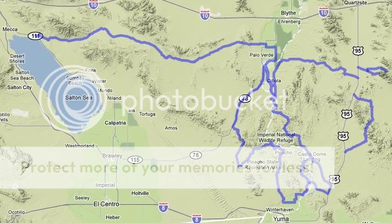
The journey continues... Cibloa Wildlife Refuge Trail to Ferguson Lake 

Sunrise over the Colorado River.

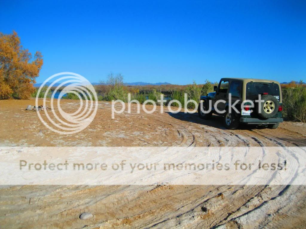
As soon I started out I noticed that I had a flat...


Another campsite along a lagoon, once part of the original river channel.

Palo Verde lagoon.

One of many camps along the old river channel.

I'll have to come fishing here sometime.

Now on to Black Mountain.


A partially difficult trail, Black Mountain Road starts at CA 78 and ends near Ogilby and Indian Pass Road.

Although the road up is paved, it is quite deteriorated at times.


The trail at first takes you on a graded road along the base of Black Mountain. This soon changes to a single-lane paved road as you start ascending the northern section of the mountain. The terrain is largely made up of black volcanic boulders and a mix of vegetation like ocotillos, chollas and creosore bushes.

The summit up ahead.

Spectacular views...

At the top of the Black Mountain you see communication towers. The view also includes the Chocolate Mountains, parts of Colorado river, Arizona, Cargo Muchacho Mountains and Picacho Peak.

Looking west towards the Imperial Sand Dunes, Salton Sea, and Laguna Mountains.


When you descend Black Mountain the trail again turns into a dirt road and it gets quite steep. The ground is made up of loose soil which gets worse when it rains. At the bottom, the trail moves across a bajada and small washes.


Getting steeper...

Looking back up.

Made it!

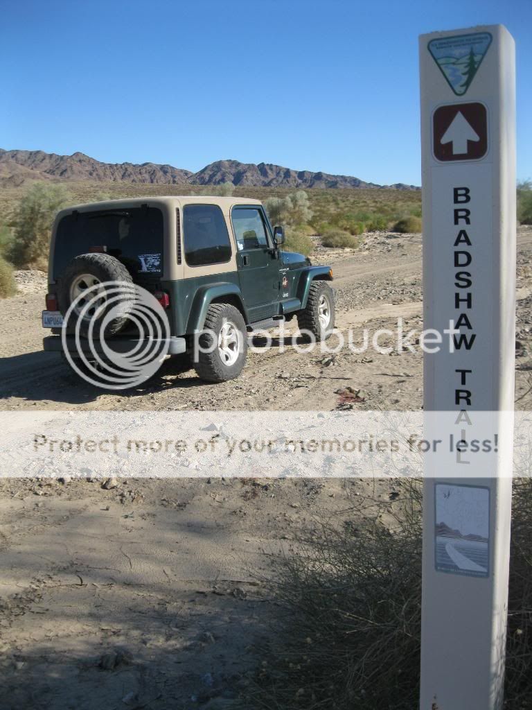
Driving the pole line road to Indian Pass.

Picacho Peak in the distance.

Indian Pass.


One hundred years ago Picacho was a gold mining town with about 100 citizens. Today the site is a State Park, popular with boaters, hikers, anglers and campers.


4-S Beach Camp.


Continuing through the park.

Taylor Lake.


Mule Deer.


Meeting up with a couple friends, Steve and Shellie, we set off for camp along Ferguson Lake.


Ferguson Lake is a backwater connected to the lower Colorado River that provides camping, fishing, boating, hiking, and hunting opportunities. A number of undeveloped shoreline campsites provide recreational boating access and stunning views of the Colorado River. Trails leading into the adjacent Little Picacho Wilderness Area provide idea day-hiking opportunities from your campsite.

Home for the evening.

To be continued...

Thursday, February 16, 2012

SoCal & AZ Overland Adventure Dec. 2011 Part I


Highlights:
Bradshaw Trail
Cibola National Wildlife Refuge Trail
Black Mountain
Picacho State Recreation Area
Ferguson Lake/Lower Colorado River
Imperial National Wildlife Refuge: Red Cloud Mine Road (Arizona)
Kofa National Wildlife Refuge: Palm & Kofa Queen Canyon (Arizona)

Overall Route

This was an overland route that I've wanted to do for some time now, to not only explore new trails and areas but to also scout out new places to fish. I had four days available over the long holiday weekend so I made my plans, got my gear together and set out. On average I would cover about 100 miles a day.

My first stop was on the east side of the Salton Sea and the Bradshaw trail. The end of this trail would put me just a few miles from the Cibola National Wildlife Refuge, along the Colorado River where I would set up camp fir the first night.

The next day from Cibola Wildlife Refuge, I'd head south to Black Mountain Road to Indian Pass Road which heads into the Picacho State Recreation Area. Following Picacho Road back towards civilization and along county roads I made my way to Ferguson Lake Road which took us to a backwater lake along the river and the second night's camp.

After break camp at Ferguson Lake the next morning we headed into Arizona to Martinez Lake. Taking Red Cloud Mine Road into Imperial NWR, we found our way to the Arizona side of the Cibola Wildlife Refuge. North of Cibola Lake, we followed Ehernberg-Cibola Road east through the Yuma Proving Grounds to Highway 95 and then north to Quartzite to refuel. Back tracking south we entered Kofa NWF and make camp along Palm Canyon Road.

On the last day we finished exploring this small part of the refuge along with Kofa Queen Canyon and headed home. There was a trail that passes through the Castle Dome Mountains that I also wanted to check out but we ended up being short on time so I'll now I have another reason to head out there again.

Day 1: Bradshaw Trail to Cibola National Wildlife Refuge Trail

The water line of ancient Lake Cahuilla can be seen on the hills west of the Salton Sea.

Salton Sea

Heading towards the Bradshaw Trail, along the Cochella Canal.

Start of the trail. Nicknamed the Gold Road at one time, this historic overland stage route in Southern California originally connected San Bernardino, California to gold fields in La Paz, Arizona, some miles north of Ehrenberg. It was the first road connecting Riverside County to the Colorado River.

Its remainder, a graded dirt road, traverses southeastern Riverside County and a part of Imperial County, beginning roughly 12 miles east of North Shore and terminating about 14 miles southwest of Blythe for a total of 70 miles.


Nearing the end of the trail, near Palo Verde.


Cibola Bridge over the Colorado River.

The Cibola Wildlife Refuge Trail is located in the floodplain of the lower Colorado River and surrounded by a fringe of desert ridges and washes. The refuge encompasses both the historic Colorado River channel as well as a channelized portion constructed in the late 1960's. Along with these main waterbodies, several important backwaters are home to many wildlife species that reside in this portion of the Sonoran Desert. Because of the river’s life sustaining water, wildlife here survive in an environment that reaches 120 degrees in the summer and receives an average of only 2 inches of rain per year.

The trail starts at Cibola Bridge and travels parallel to the Colorado river. This is mainly a dirt road and is bordered with arrow weeds at many places. 

Campsite along the river with a nice spot to fish from.


End of the route, across from Walters Camp. 


The old river channel. The original Colorado River in the Cibola National Wildlife Refuge, bypassed and abandoned by government agencies. Neglect has caused a major migratory corridor for numerous bird species to become polluted and overgrown. Invasive plants have replaced quality native habitat mesquite, cottonwood and willows that once existed along the river. The levee was supposed to let water flow through to the old channel but has become filled with silt.

First campsite of the trip.


To be continued...