Monday, June 4, 2012

McCain Valley to Sombrero Peak Hike


The area between County Highway S-2 in the south Anza-Borrego Desert State Park and the BLM's McCain Valley Cooperative Management Area constitutes some of the most wild, beautiful and serene territory in San Diego County. -Jerry Shad


This is a hike that I've been wanting to do for some time now and I knew that with summer heating things up outside, if I didn't get it in soon I'd have to wait a few months until it gets cooler out. So along with my brother-in-law, Nick, we headed out to Cottonwood Campground along McCain Valley Road to start our hike to Sombrero Peak. It is said that one needs to employ their map-and-compass skills for this journey. I guess I need to improve my skills, as we ended up too far north of our destination. On our return trip we found where we needed to go to reach the peak but decided to save that for another day. There is actually a narrow road/trail that leads you very close to the base of Sombrero Peak. Unfortunately, this trail has crashed through and destroyed much vegetation. Along its route we noticed cut large, white zip ties. The very same that U.S. Border Patrol agents use to detain suspected illegal immigrants, so it seems they've been riding their quads in this fragile area. 
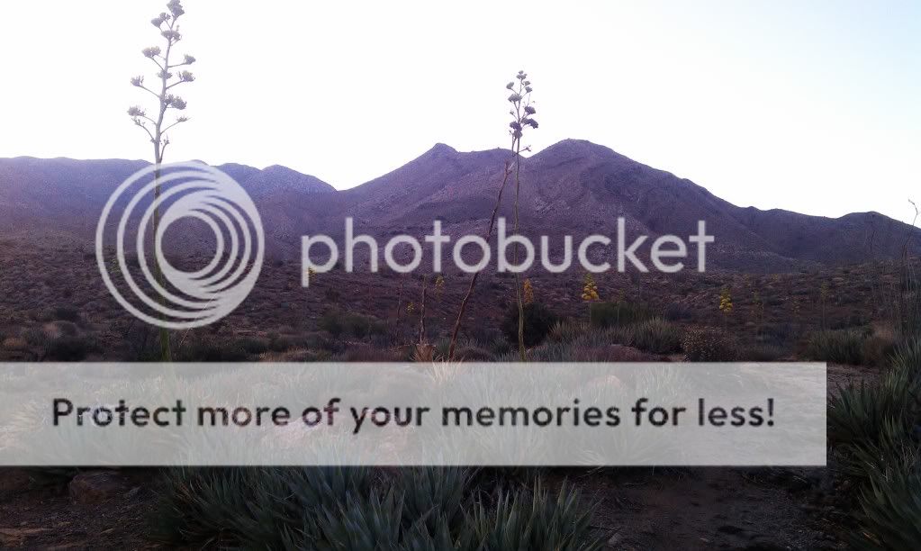

McCain Valley Road. 

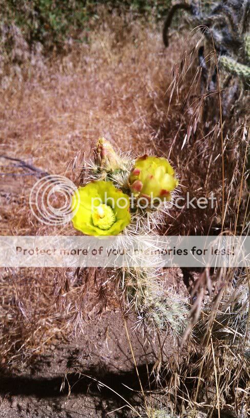
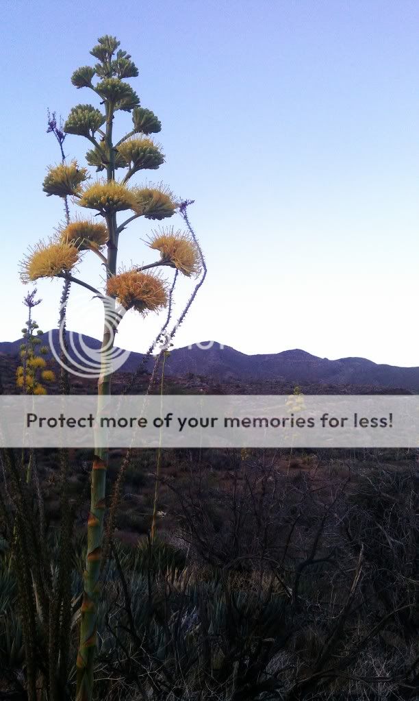
The Chollas were blooming.


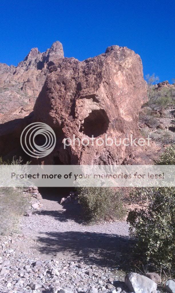
Nick, checking out a rock cave.

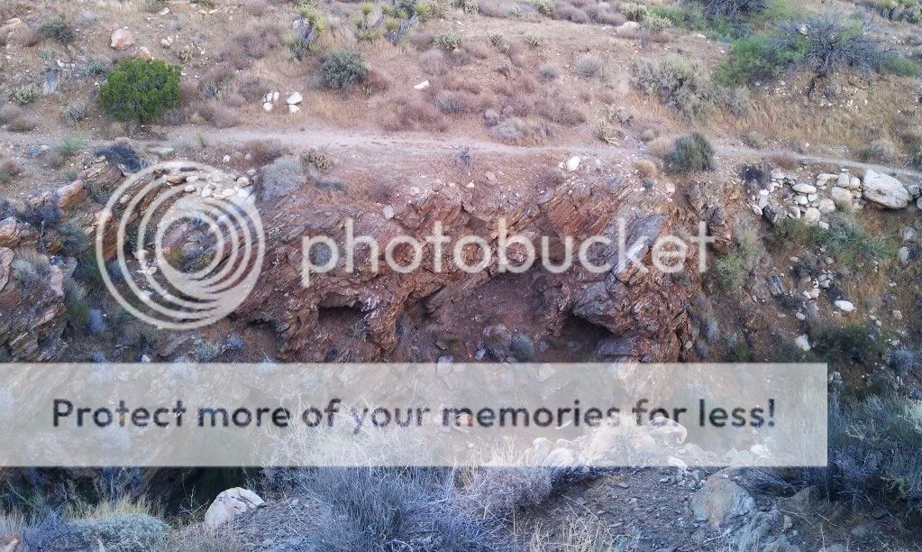
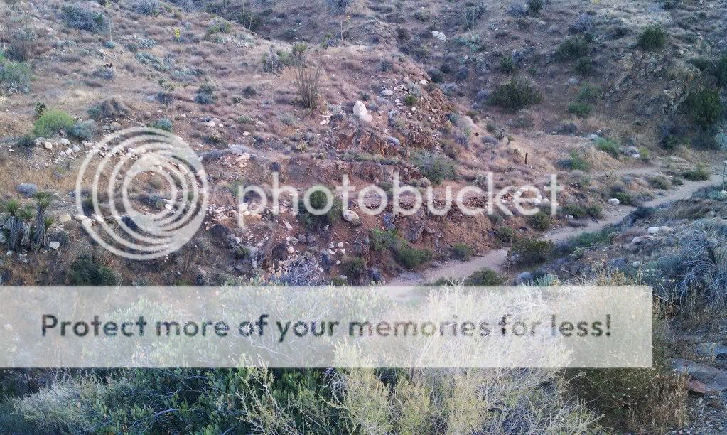
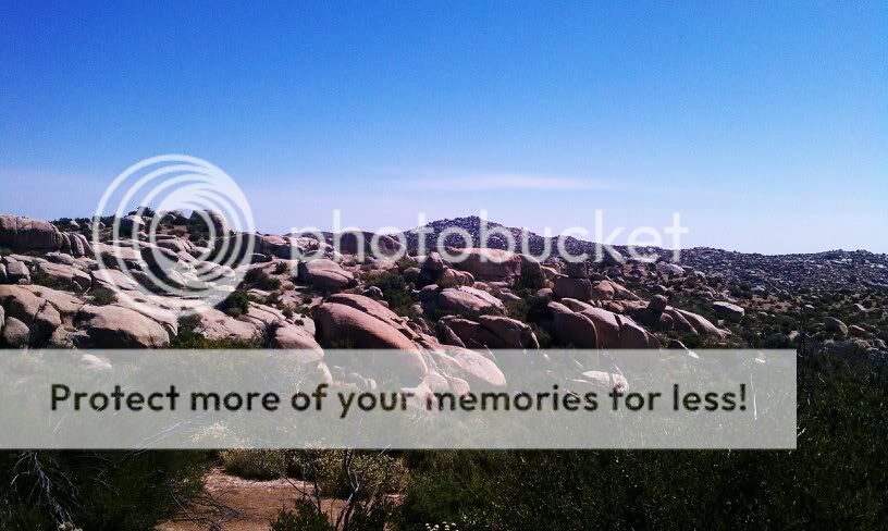
Lots of interesting rock formations along the way.

Peak 4553 in the distance. We head east over a divide north of this peak then work our way cross-country northeast to our destination.

Looks like were still on the right track.

Life sustaining water in an otherwise arid environment.

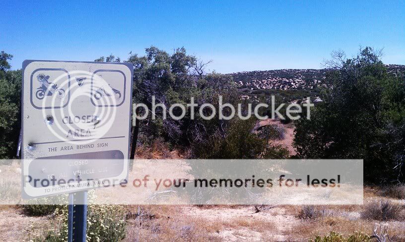
It seems these signs don't apply to the Border Patrol.

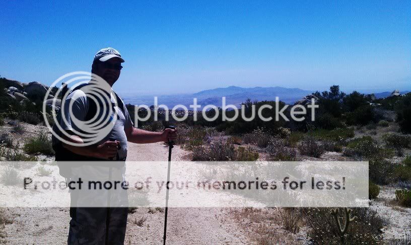
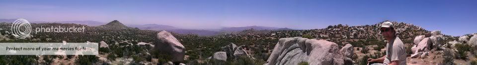
Yours truly at the top of the divide just north of Peak 4553. At this point we can catch a glimpse of the desert below.

Looking back west towards McCain Valley Road and Cottonwood Campground.

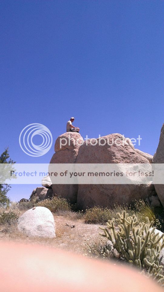
This seems like a good spot to relax and take in the views.

I found this interesting Tequila bottle that I'll put in one of my aquariums. Sombrero Peak rises in the distance but we ended up just a bit too far north of it.

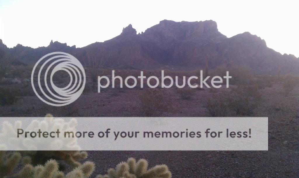
Peak 4553 behind me with the conical shape of Sombrero Peak (4229') farther to the left.

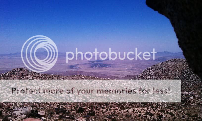
End of the line. We had lunch on the large square rock to the left with Sombrero Peak just to the south of us.

Great views of the desert below.


On our way back, I managed to find and pack out one mylar ballon. These ballons often end up as litter and pose a danger to wildlife.


We caught this horned lizard eyeing us. When it gets cooler out I'll have to get out there again.

Our 10 mile hike.

Animals seen: 
Turkey Vulture
Quail
Ground Squirrels
Whiptail Lizards
Garter Snake
Cottontails
Jack Rabbits
Mule Deer

Thursday, May 24, 2012

Anza Borrego: Box Canyon Historical Trail


I decided to make a quick stop at the Box Canyon monument and overlook along Highway S2 as I drove through Anza-Borrego Desert State Park. This has been one of many things on my list to see. I still need to head back sometime and hike down into the canyon. There's much history here. The Southern Emigrant Trail, the Mormon Battalion, and the Butterfield Overland Mail Route used this low mountain pass.

A distant fire in Mexico made for a hazy day.

A quick stop near the small desert town of Ocotillo. I saw no snakes.

The Century Plants were in abundance here.

These misnamed plants actually only live 10 to 30 years.


View from the overlook. The Mormon route is the upper trail while the Immigrant and Overland Mail Route is down in the wash.

The historical marker is right by the highway; the overlook of the trail below is 250 feet farther east. By following the path down to the trail itself, you quickly get a feeling for the obstacle that this rocky ridge represented for early travelers.

In 1847 the Mormon Battalion cut a detour around the box canyon; traces of its efforts are visible on the canyon walls. To follow a piece of the trail itself, follow the sloping trail down to the right to a wooden post marked “U.S. Mormon Battalion Trail.” At this point, the trail coincides with the wash. The historic wash trail is marked with an occasional wooden post. Your hike parallels the highway but is wholly hidden in the small canyon to provide a feeling of seclusion and communion with the hundreds of previous users of this trail segment.

Tuesday, May 22, 2012

SoCal & AZ Overland Adventure Dec. 2011 Part IV


Day 4: Kofa National Wildlife Refuge & Trip's End


For 57 miles, US 95 cuts through the desert of Southwest Arizona - quite flat, perfectly straight and aligned exactly north-south, and interrupted only by the small town of Quartzsite. In the mild seasons of winter and early spring, much traffic uses the road, bringing sun seekers from all over the US to Yuma and on into Mexico, but few travel to this region in summer, when temperatures of over 120°F are not uncommon. Rain falls on only a few occasions each year - the summer thunderstorms that affect the higher areas of Arizona rarely extend this far. South of Interstate 10, US 95 is bordered by the Yuma Proving Ground to the west and the Kofa National Wildlife Refuge to the east - a protected area 25 x 40 miles in extent with no paved roads or facilities of any kind. The refuge is an excellent place for viewing desert plants and wildlife, rock climbing, exploring old mines, or just camping in remote wilderness.

Morning along Palm Canyon Road.

Signal Peak in the distance.

It was really cold out!

Our campsite.


This graded dirt road provides access to Palm Canyon, from where a short hike leads to views over what is possibly the only community of native palms in Arizona. The trail itself is suitable for passenger vehicles. This area has sweeping views west over the La Posa Plain to the Trigo Mountains and Chocolate Mountains and is especially lovely at sunset. The California palm fans, from which the canyon derives its name, are thought to be remnants from an era when Arizona was a lot cooler and wetter than it currently is. The cooler air within the canyon, lack of direct sunlight, and slightly moist conditions have allowed the trees to survive. The hiking trail to view the palms is a rough but well defined path that climbs up into the canyon for half a mile to a viewing point.

Start of the hiking trail.

California Palm Fans.

Looking back down the canyon.

Now on our way to Kofa Queen Canyon.


This spur trail is one of the few within the Kofa NWR that travels up one of the high walled red canyons that penetrate into the rugged Kofa Range. After leading off from Palm Canyon Road, the trail is smooth and easy going for the first 4 miles. At 4.3 miles is a large flat area good for camping. At the mouth of the canyon the trail drops into a gravelly wash and remains in it until the end of the route. Big horn sheep like the habitat within the canyon and can often be seen in the early morning and evening high up on the canyon walls. The wash is generally loose and gravelly, with only a few rough boulders to contend with. The last mile, however, is quite brushy, and most vehicles will collect a few scratches.


Aptly named Skull Rock.

End of the line.


On our way back out.


By the time we had finished up here it was already 11AM. I had to work that night so we had to skip the trail through the Castle Dome Mountains. I'll save that for another day. After airing up and parting ways with Steve and Shellie, I hit the road and made it home around 3:30PM. It was a great trip and I look forward to exploring more of this area.