Carrizo Mountain & Southern Anza Borrego Tour
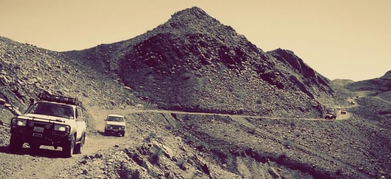
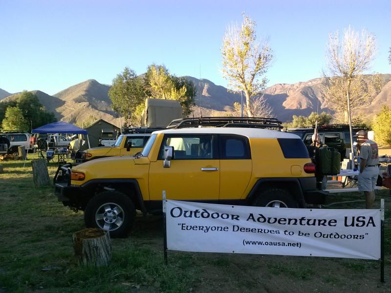
I awoke at O'dark thirty Saturday morning to head out to the Butterfield Ranch campground in Anza-Borrego Desert State Park, which would serve as headquarters for Outdoor Adventure USA's 2014 BorregoFest event. This would be the 6th annual gathering of 4wheeling, overlanding, and outdoor adventure enthusiast, to enjoy good times on the local desert trails, attractions, as well as amazing food and campfire conversation.
I was feeling a little disappointed that I would only be attending for one day, but also excited to see new and familiar faces and that I would soon be maneuvering my 2000 Jeep Wrangler along some of my favorite rough desert terrain. Its always a pleasure showing people sights they've never seen and places they've never experienced.
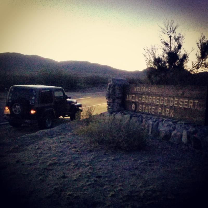
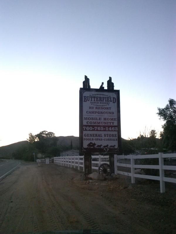

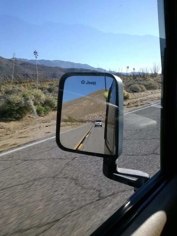
From camp, we headed Southeast along Highway S2, then East on Even Hews Highway (S80) to Painted Gorge Road, where we aired down.
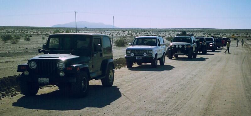
Cast of characters:
John- Jeep Wrangler TJ
Greg - Ford Bronco II
Brian - Toyota FJ Cruiser
Brent - Toyota Landcruiser
Tim - Jeep Wrangler JK
Steve & Shellie - Toyota 4runner
Richard - Toyota Tundra
Simon - Nissan Xterra
Mike - Ford F150
Bill - Land Rover Defender

Our route would take us through Painted Gorge, which gets its name from the colored sections of sandstone blocks within the canyon. Metallic oxides and sulfides have introduced red, blue, and green staining to parts of the narrow gorge. Fossilized remains of marine life can also be found in this area.
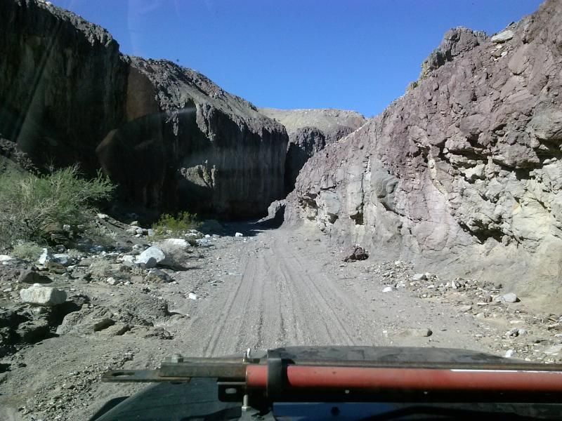
The trail leaves S80 between Plaster City and Ocotillo, just west of the sign for the Plaster City West OHV Staging Area. Initially, it is a well-used graded road that serves as access for Painted Gorge. Entering public lands, the graded road becomes a formed trail that passes through a wide open area and then swings west, dropping into the sandy wash of Painted Gorge. The trail through the canyon is sandy and twisty as it winds its way into the Coyote Mountains. Embedded rocks litter the wash, but the difficulty of the trail comes not from this section but further up as the trail climbs high atop Carrizo Mountain.
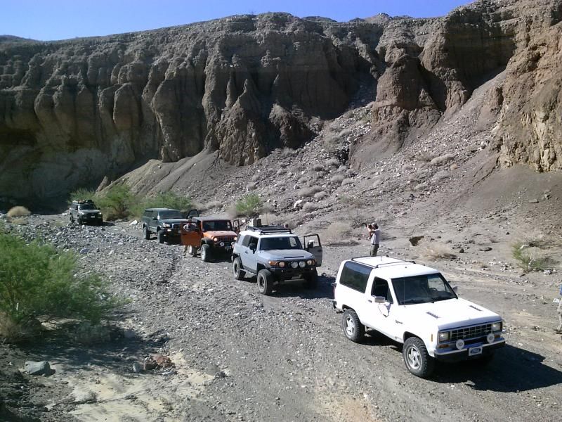
At the end of the trail, Carrizo Mountain sits high above the colorful shapes of the Carrizo Badlands at the edge of the Coyote Mountains and offers rewarding views over Carrizo Wash. The wash is closed to the public, having been once used as a military target-practice zone. In the late 1850's, Butterfield Overland stagecoaches traveled along the wash far below, carrying mail and passengers on a difficult route from St. Louis to San Francisco.
Carrizo is a Spanish word meaning "reed grass." This reed was found to give a sweet taste to the water found in its vicinity. Native Americans used the reed as a sweetener.
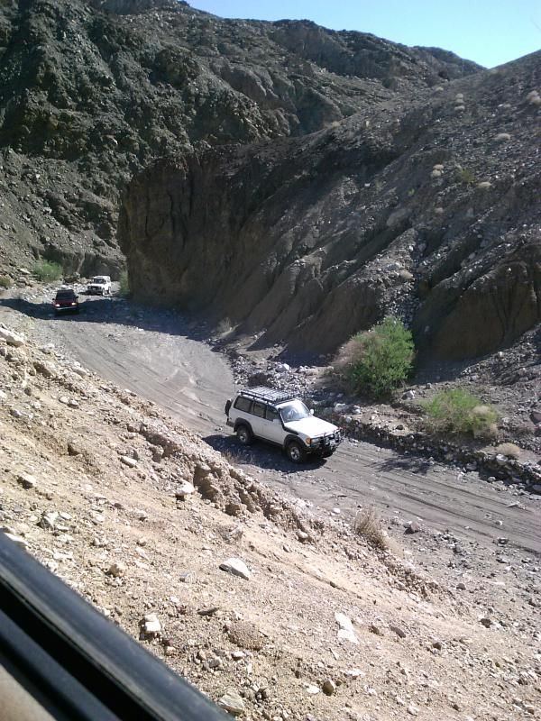
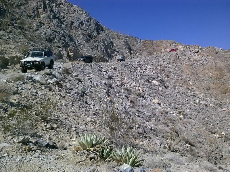
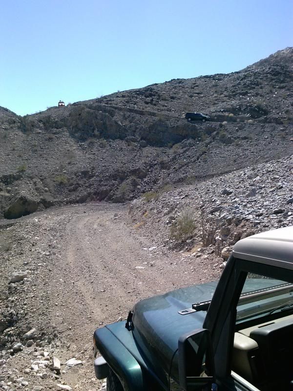
The trail climbs steeply as it swings out of the wash along a well-used shelf road. The surface is loose in places and the road is narrow, limited to single vehicle width for most of its length. Passing places are limited. As you climb, Painted Gorge unfolds beneath you. Beyond the gorge to the south are the Yuha Basin and Mexico.
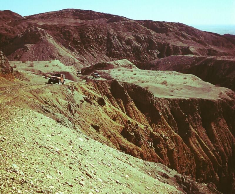
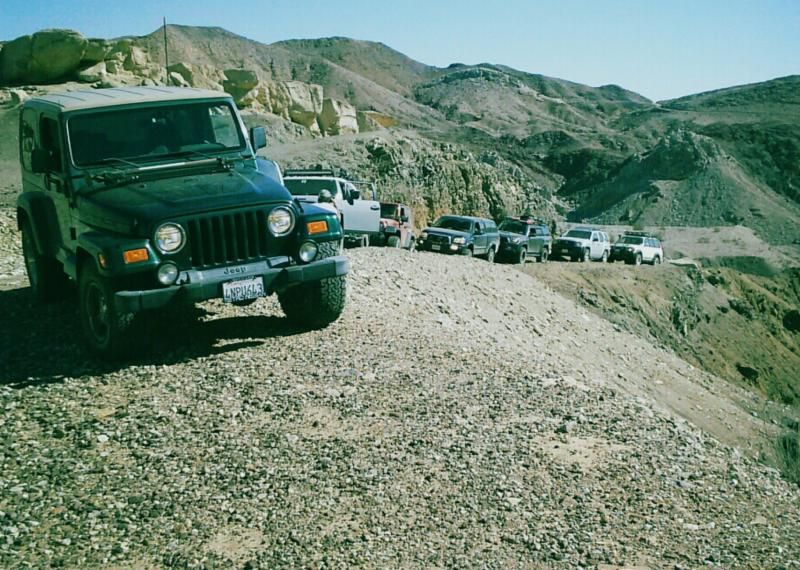
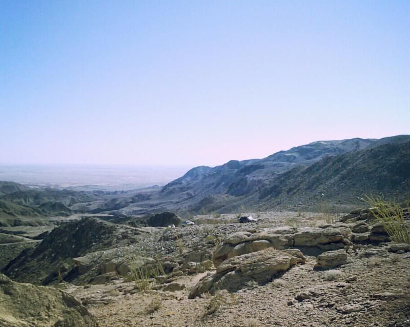
The trails on Carrizo Mountain were put through for mining, and there are many to explore. There are some good back country campsites, most of which have excellent views. This route leads through a network of trails to a viewpoint near the summit of the mountain. From there, its only a short hike to the summit to take in the impressive views of the surrounding areas. The final section of trail to the top is the most challenging, with embedded rocks, loose surfaces, and a very narrow shelf road to negotiate.
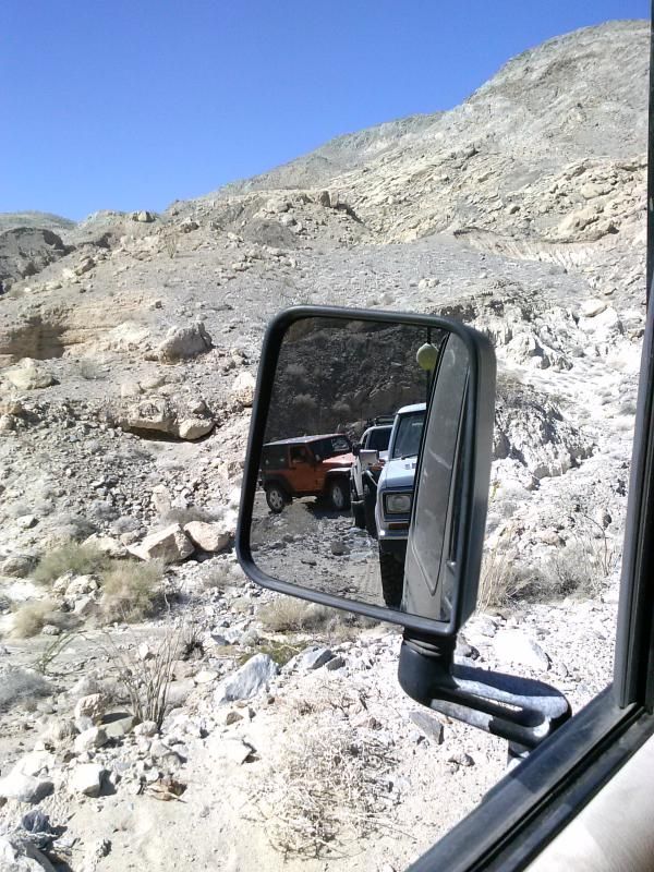

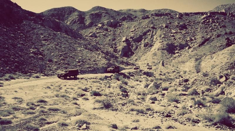
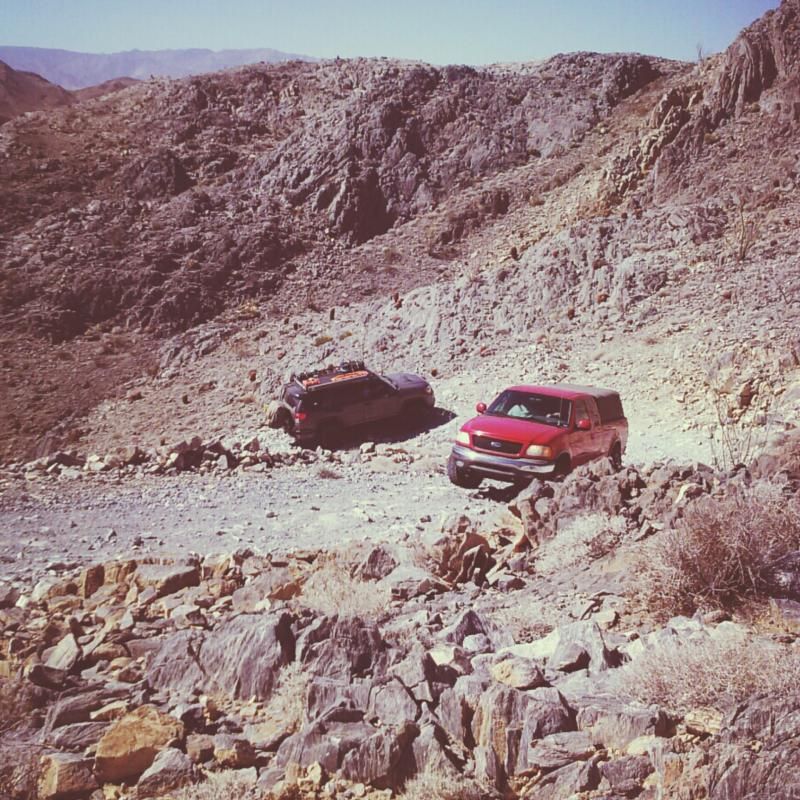
We did lose two rigs on the way up. The Xterra was starting to bottom out on the rough terrain and the Bronco II was overheating, so they pulled off at a nice overlook to wait for our return.

Carrizo Mountain is the highest point of the rocky Coyote Mountains, located in the transition zone between the Salton depression of Imperial County, and the mountains and desert valleys of the Anza-Borrego Desert State Park to the west. The range is located not far north of Interstate-8 near the small community of Ocotillo, and is the centerpiece of the Yuha Desert Recreation Area. The surrounding foothills and desert are popular with off-road vehicles and dirt bikes. Few venture up the old mining roads that leads to a turnaround a few hundred feet below the summit.

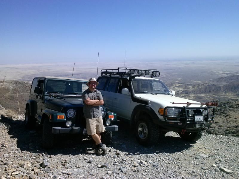
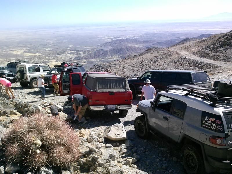
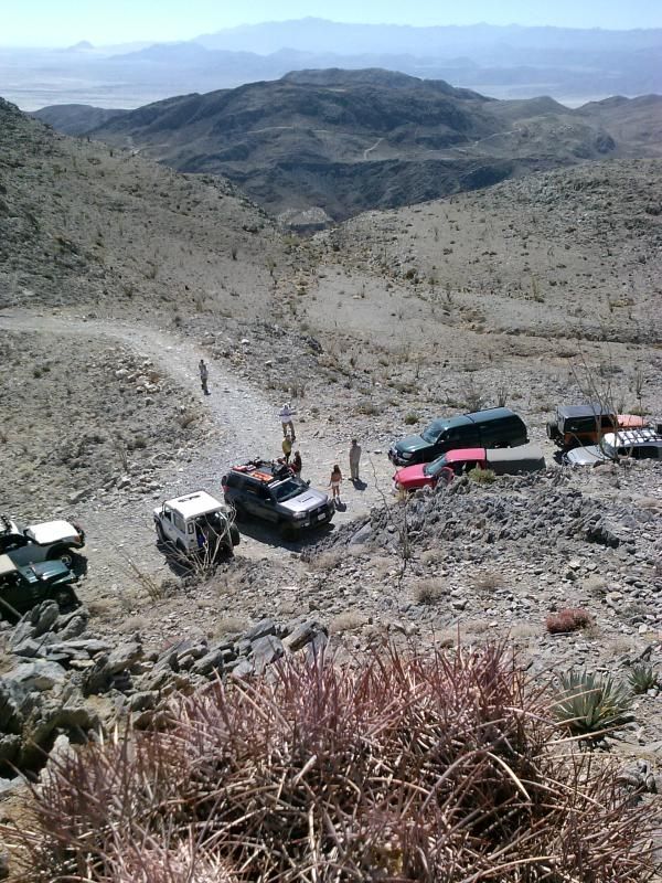
At the end of the road, it is a short 500 foot scramble to the summit of the mountain. At the summit, the entire Anza Borrego Desert State Park comes into view. You can see the Salton Sea (150 feet below sea level) to the northeast, the snow-capped Santa Rosa and San Jacinto ranges to the north, Whale Peak to the northwest, the 6000 foot escarpment of the Laguna Mountains to the west, Mexico to the south, and the Imperial valley to the east.
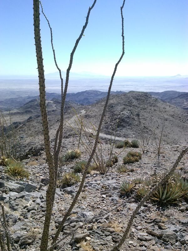
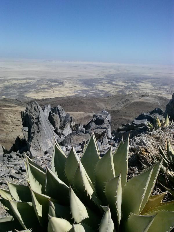
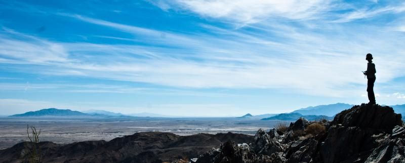
After taking in the views, we start the decent down the mountain.

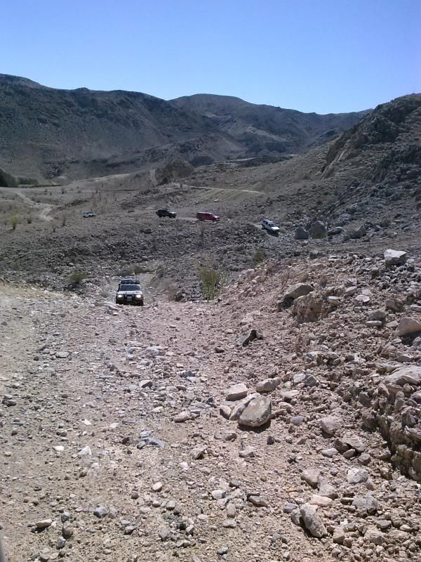
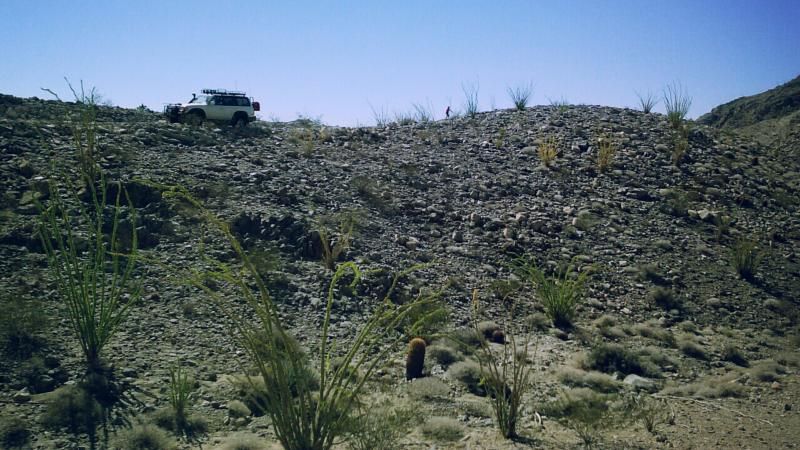
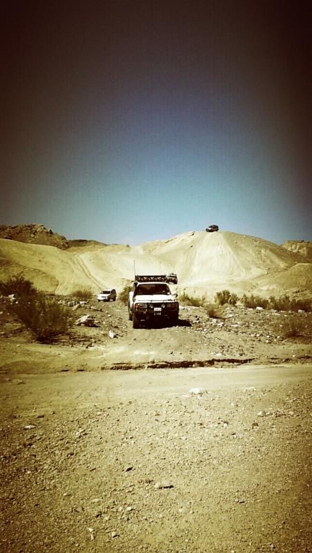

Lunch under Even Hewes Highway (S80) with Carrizo Mountain in the distance.

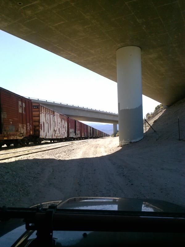
This now abandoned section of Old Highway 80 was unusual for a desert highway. Most were paved with thin oiled macadam; concrete was used very rarely since it does not hold up as well as asphalt to the temperature extremes found in the desert. This dates from around 1915 and was built next to the former San Diego and Arizona Eastern railroad tracks, visible to the right.
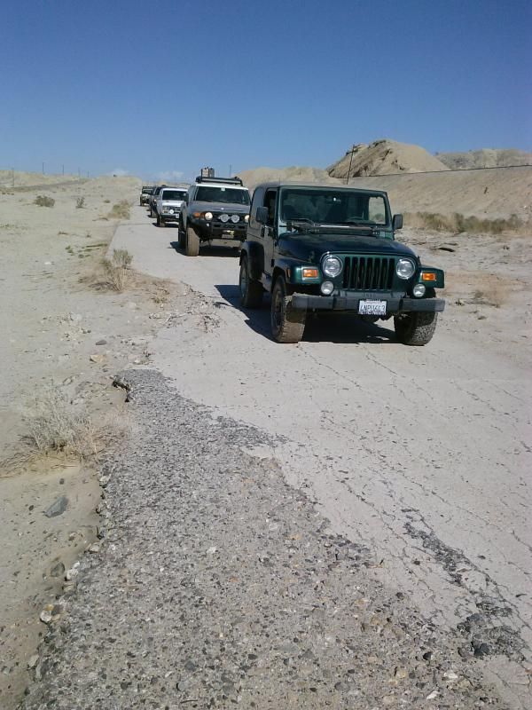
This old road was considered a miracle of modern engineering at the time, but it wasn't until 1940 that a modern road was completed. In 1963, Interstate 8 was completed, making passage through the desert an easy affair with little hint of the previous difficulties. Fortunately for highway fans, there is a lot of the old road remaining.

Crossing under Interstate 8 on our way towards the small desert town of Ocotillo and Dos Cabezas Road.
Dos Cabezas Road forms an arc from paved Imperial Highway northwest of Ocotillo and runs along the alluvial plain near the base of the Jacumba Mountains. The route travels along easy-to-follow, sandy formed trails through the wide valley between the Jacumba Mountains to the west and the Coyote Mountains to the east.
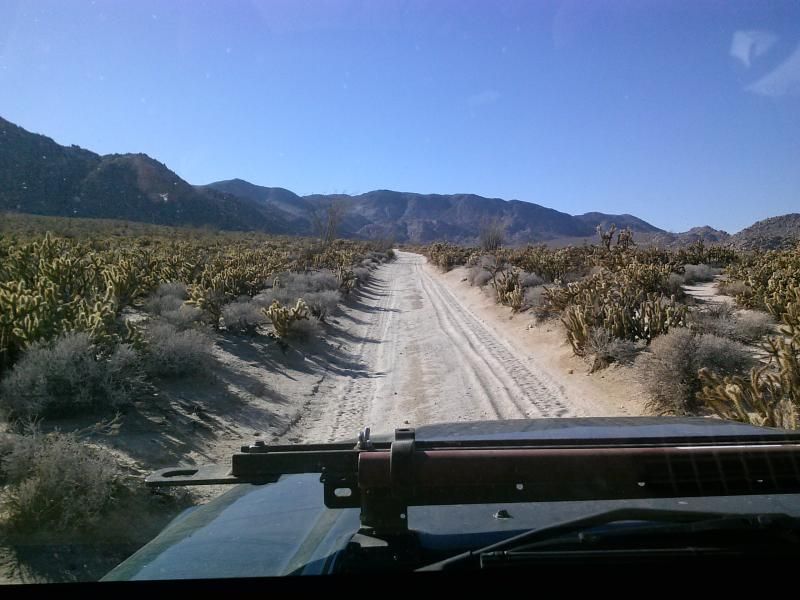
The Colorado Desert vegetation is stunning in this area, particularly in spring when the ocotillos are flowering, adding their brilliant flags of orange to the landscape. The trail follows part of the route of the San Diego & Arizona Eastern Railroad.
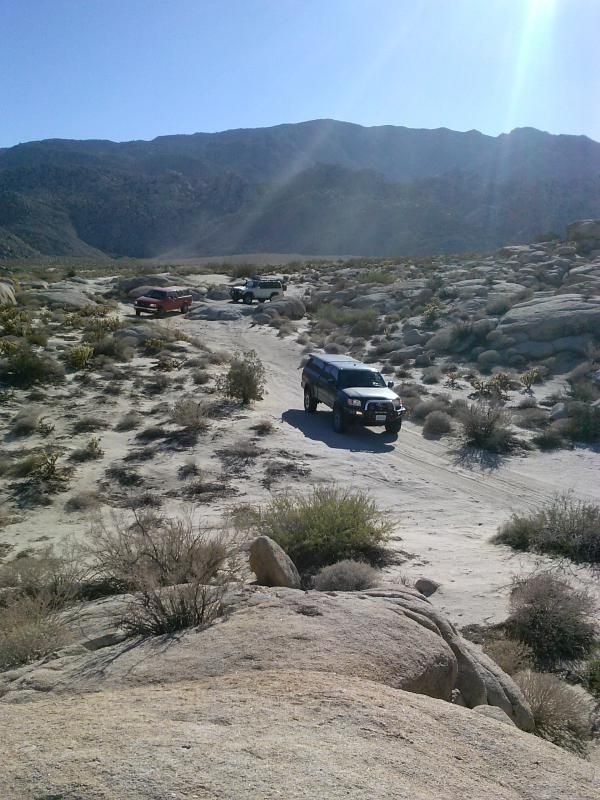
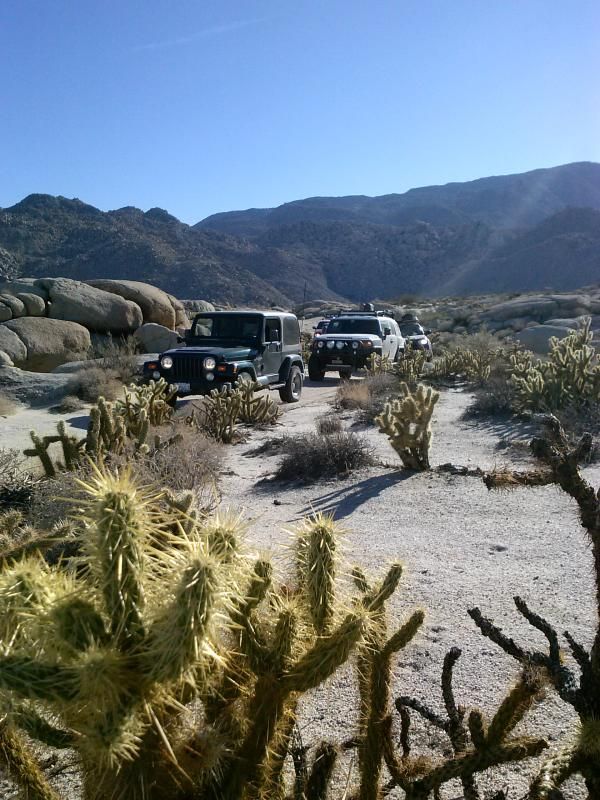

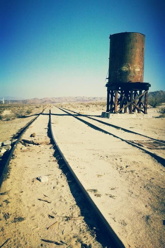
The old Dos Cabezas railroad siding here is set below the stone colored hills of nearby Piedras Grandes. A concrete pad and old water tank remain. The main trail then runs along Montero Wash to return to the highway.
Airing back up at the end of the trail.

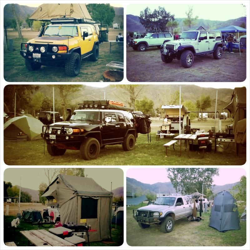
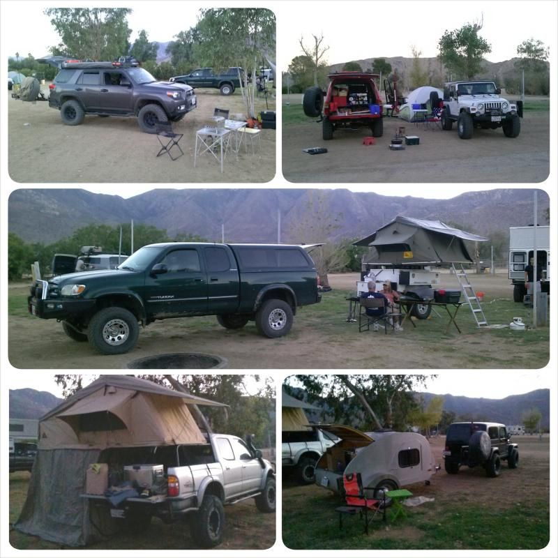
Checking out some of the cool rigs and setups around camp.
I'm already looking forward to next year's gathering! It was good to see old and new friends at yet another successful BorregoFest event. The OAUSA crew really outdid themselves! It was a great trip with some amazing set-ups and even greater people!


