Showing posts with label Cleveland National Forest. Show all posts

Wednesday, February 25, 2015

Warner Springs to Eagle Rock via Pacific Crest Trail


The trail to the Eagle Rock formation offers a sample of the stunning beauty to be found along the Pacific Crest Trail in San Diego County. Stretching from Mexico to Canada, the 2,650-mile PCT is traversed by more than 350 thru-hikers annually. In addition, thousands of day hikers explore the famed trail, which was officially designated by Congress on October 2, 1968. The southernmost section, starting near the small town of Campo along the Mexican border, is often maligned because of the dry terrain and summer heat. However, this makes one truly appreciate what lies ahead on the trail.

I've traversed a few short sections of the PCT on various day hikes but this would be my longest to date, 11 miles with 1,100 feet elevation gain/loss. It would also be the 11th hike for my 52 Hike Challenge. The oak-shaded woodlands and rolling grasslands along this route felt like a scene right of of Lord of the Rings. It truly seemed like I was embarking upon an epic journey through Middle Earth.

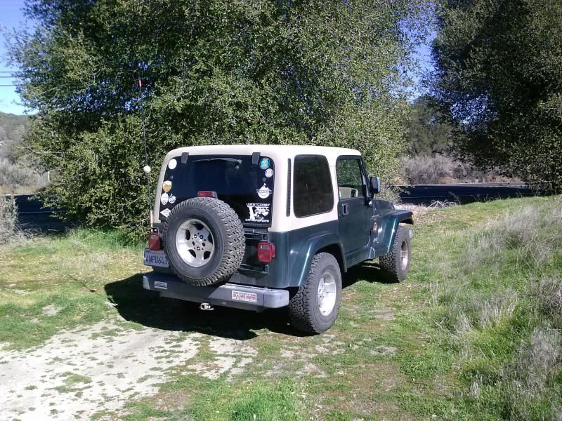
Parked along highway 79 near the Agua Caliente Creek bridge.
After carefully crossing to the northern side of the highway I find a trail that looks like a little dirt road with a little barb wire fence in front of it. Going to the left of the fence up on over the hill and back on to the little dirt road, I follow it to connect to the Pacific Crest Trail in Agua Caliente Creek.
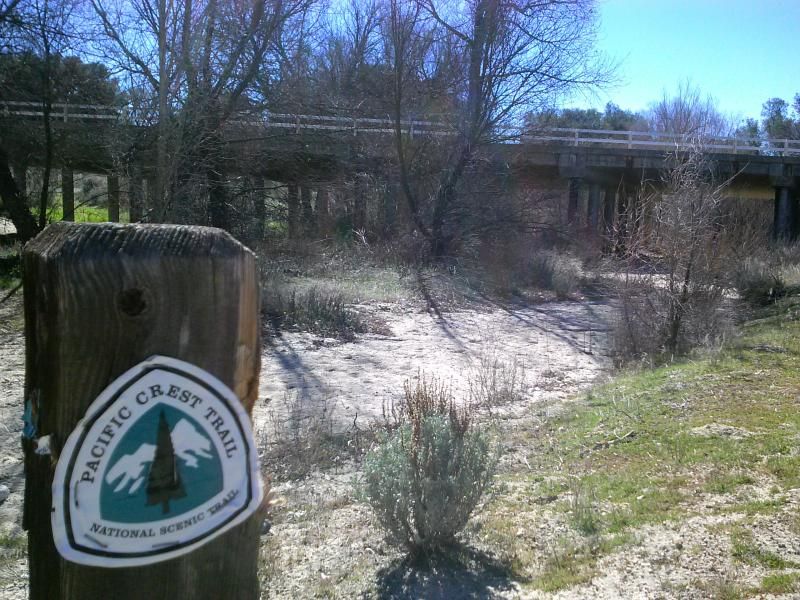
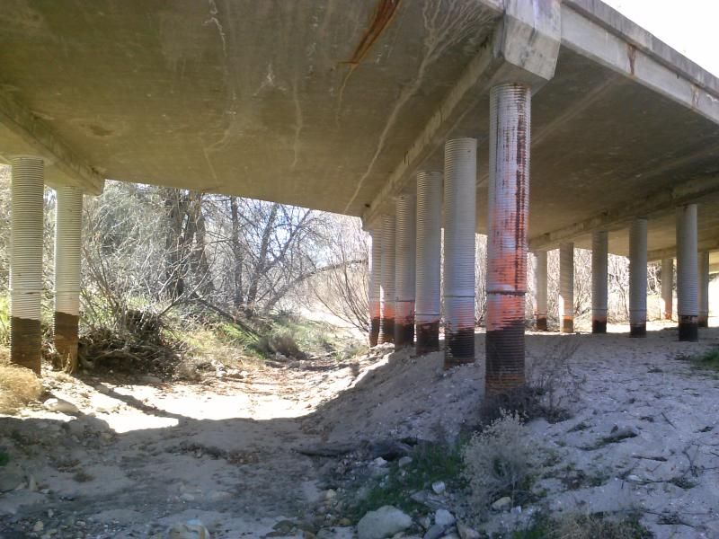
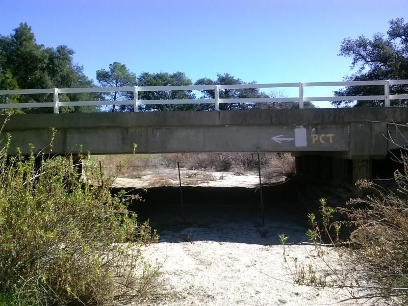
Crossing under the bridge.
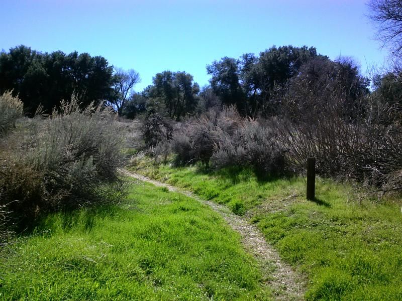
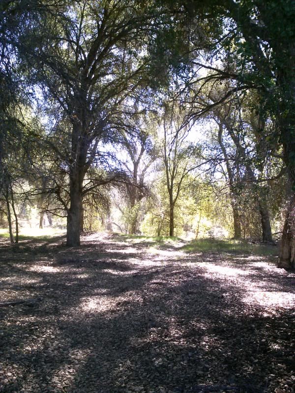
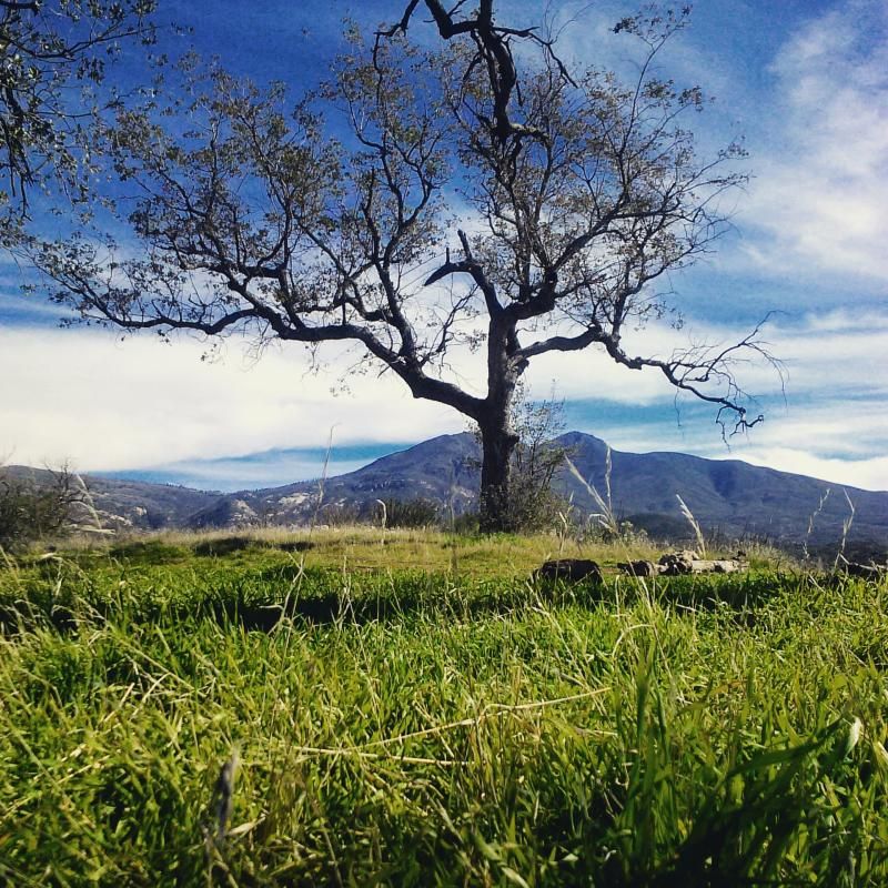
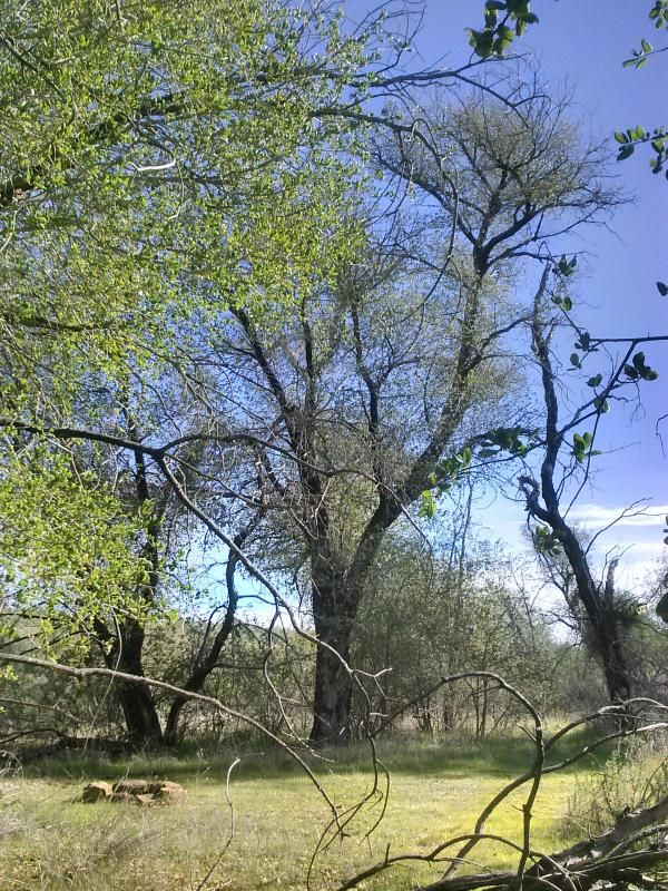
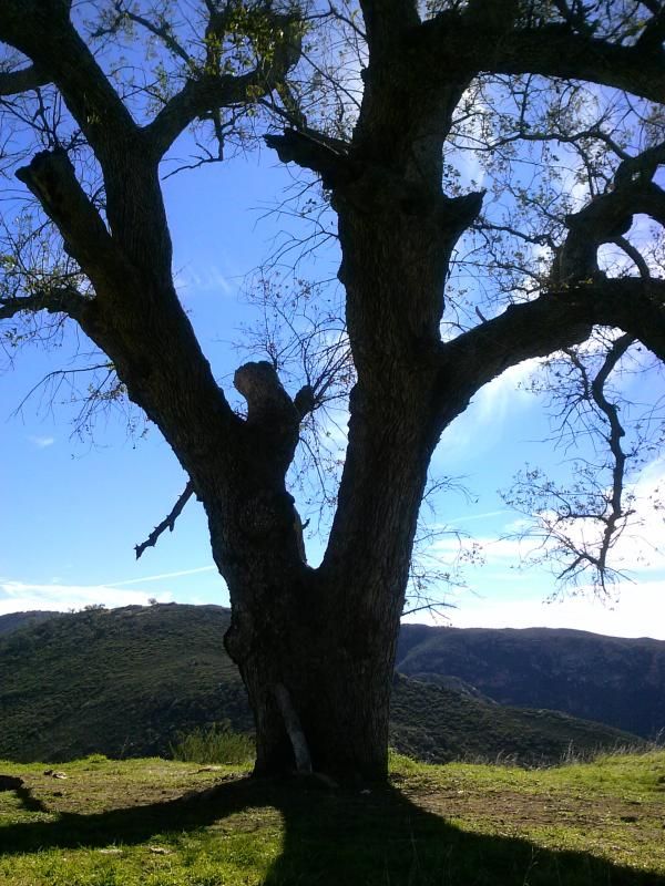
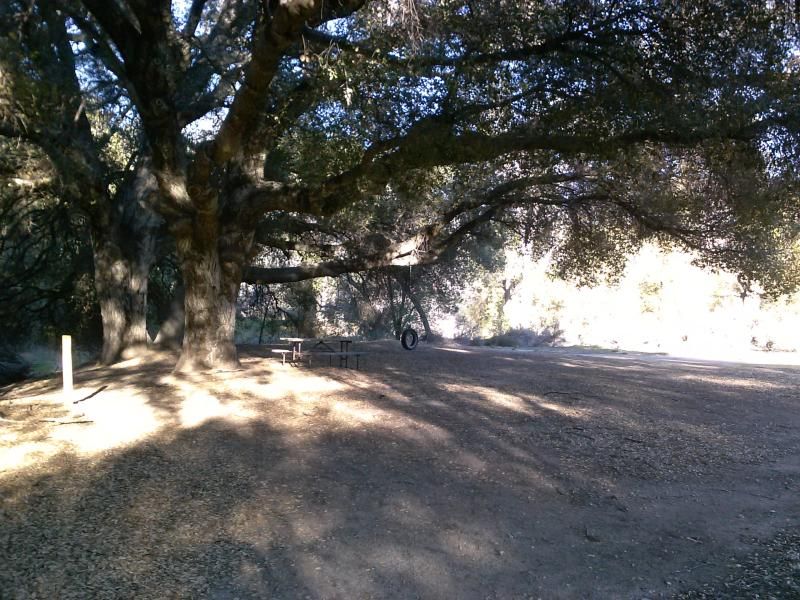
Among a grove of large oak trees is a backpackers campground used by those traversing the PCT.

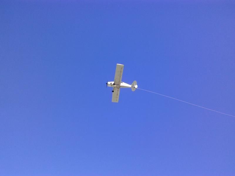
Tow planes from the nearby glider port were keeping busy this day. 
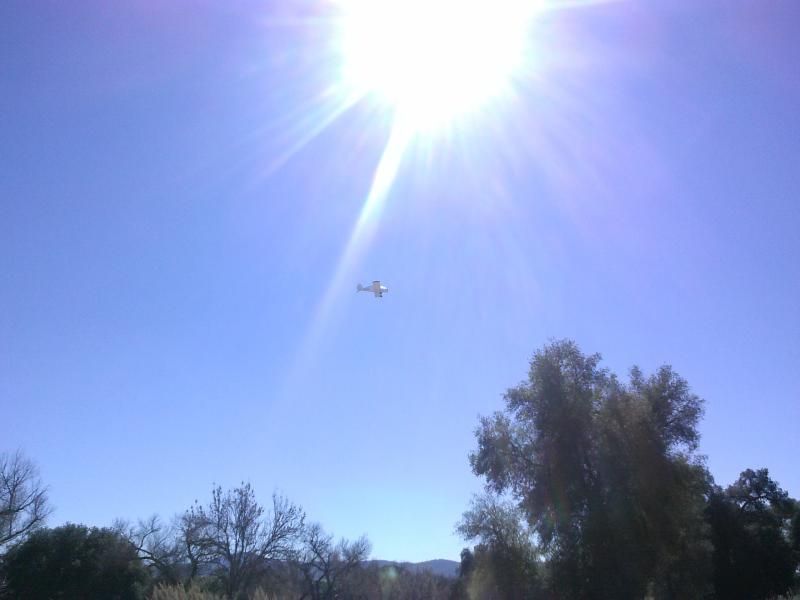

At some point, between watching the planes and deer tracks, I wandered off the trail and had to find my way back onto it.
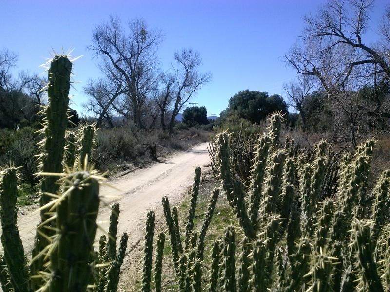
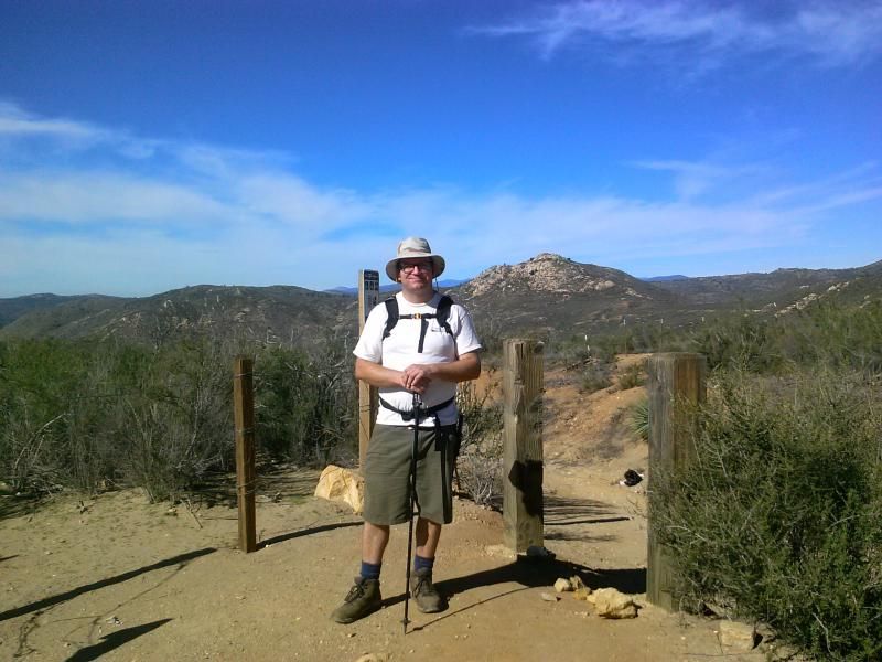
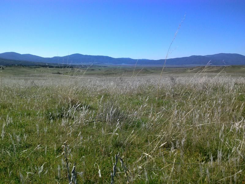
Leaving the oaks behind, the grasslands open up ahead as I pass through a gate.
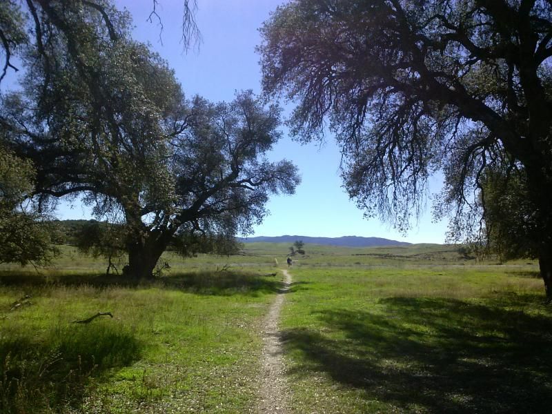
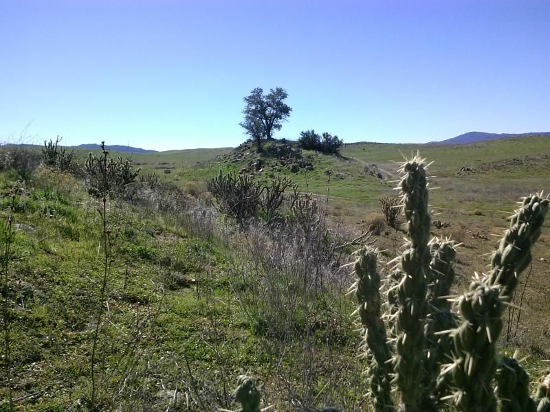
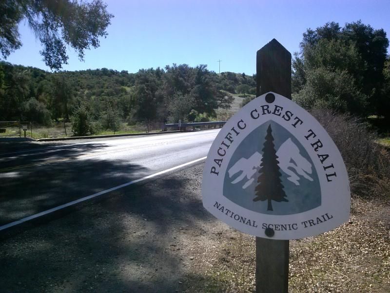
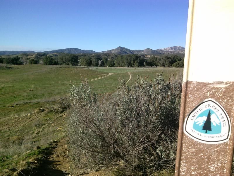
Although there are many intersecting trails and roads in this area, there are plenty of PCT signs to keep you on track.
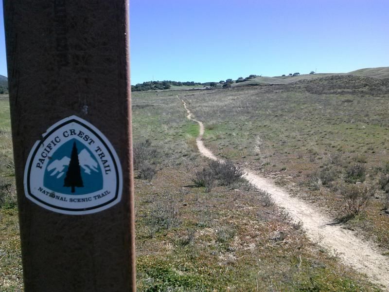
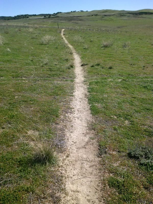
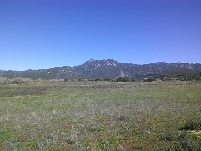
Hot Springs Mountain, rising up to the north, is the highest point in the county of San Diego.
After about 1.5 miles I come to highway 79 again. Looks like I should follow that arrow.
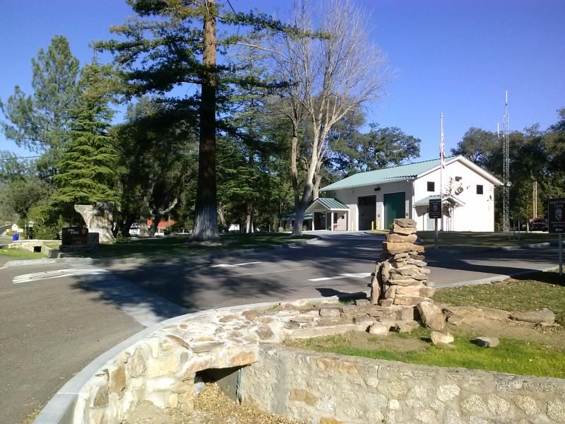
The trail crosses the highway here just south of the fire station. This would be the starting point for the 7 mile round trip hike to Eagle Rock.
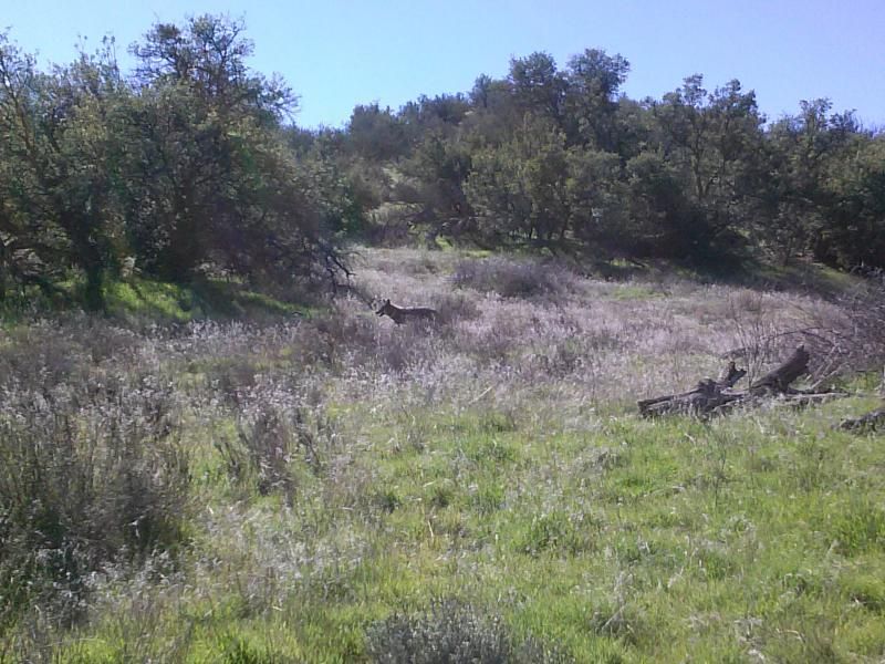
Getting back on the trail, I find myself surrounded once again by oak trees and after a few minutes of walking I am suddenly surprised as a large coyote burst from the foliage just a few feet in front of me. I'm sure he was just as startled as I was and after a few moments disappears back into the brush.
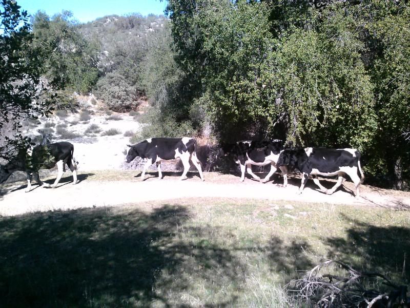
Letting the cows pass by.
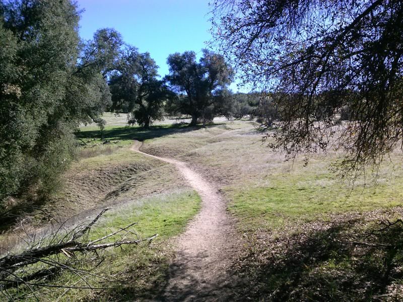
After hiking along the southern edge of a large ravine that gains a bit of elevation, I come out of the trees and back onto the grassy fields.
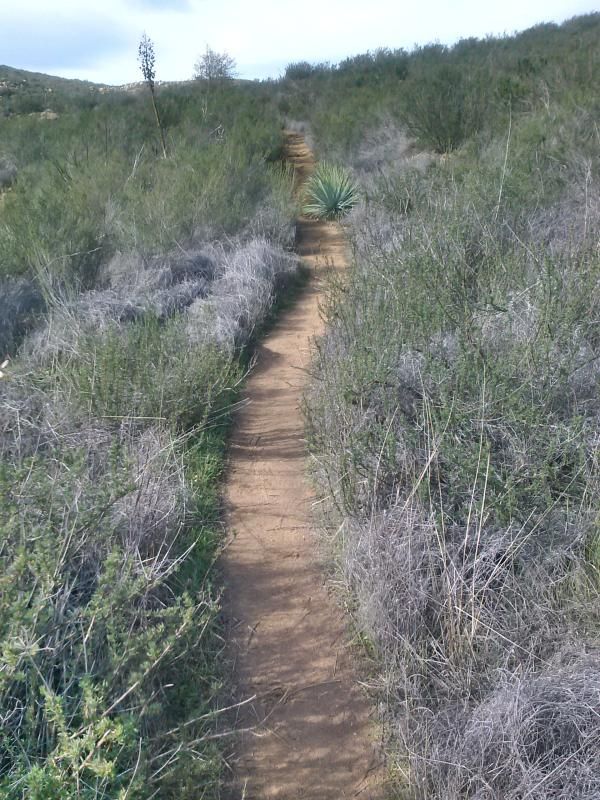
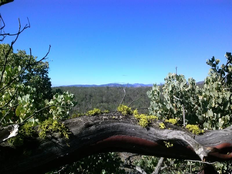
The trail leaves the oak woodland and begins a gradual climb up a hillside sparsely covered with chaparral. In an exceptional year this area can put on a stunning display of annual wildflowers.
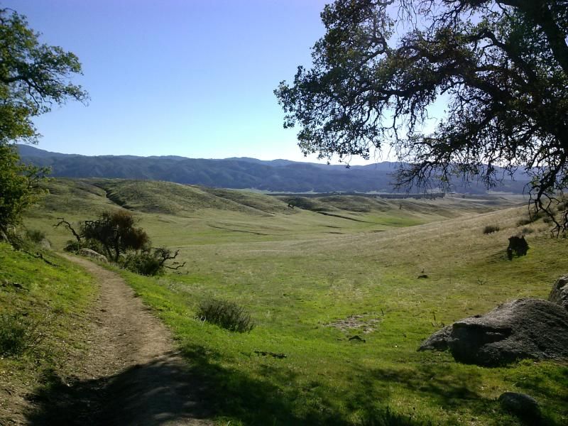
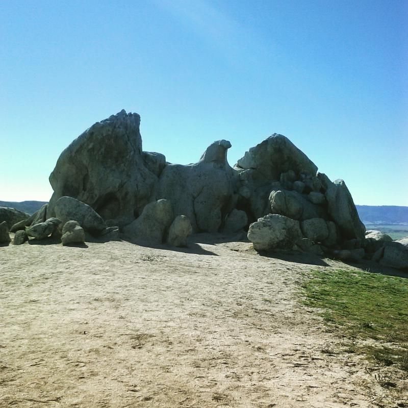
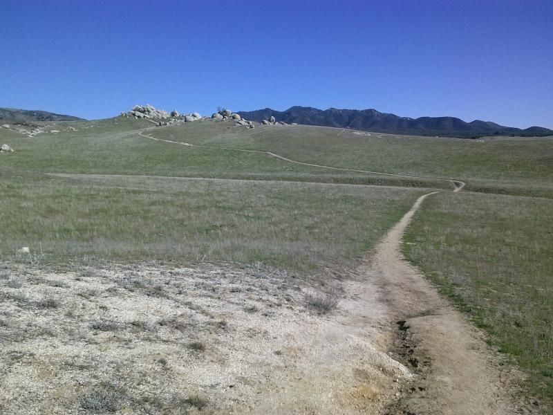
Continuing along the Pacific Crest Trail through the rolling grasslands, I eventually see a group of boulders to the northeast. The trail descends a bit then makes a gradual climb on the southern side of these rocks. Coming up behind the boulders, the wings and head of the eagle become visible.
It really is amazing to how much this rocky formation looks like an eagle with outstretched wings.
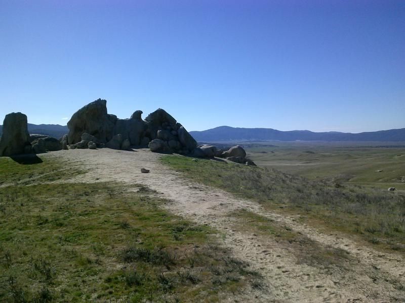

I have lunch in the shade of the eagle, taking in the fantastic views of the surrounding mountains. Volcan Mountain to the southeast. Palomar Mountain with its observatory and lake Henshaw to the southwest. Hot Springs Mountain and the Los Coyotes Indian Reservation are to the North.
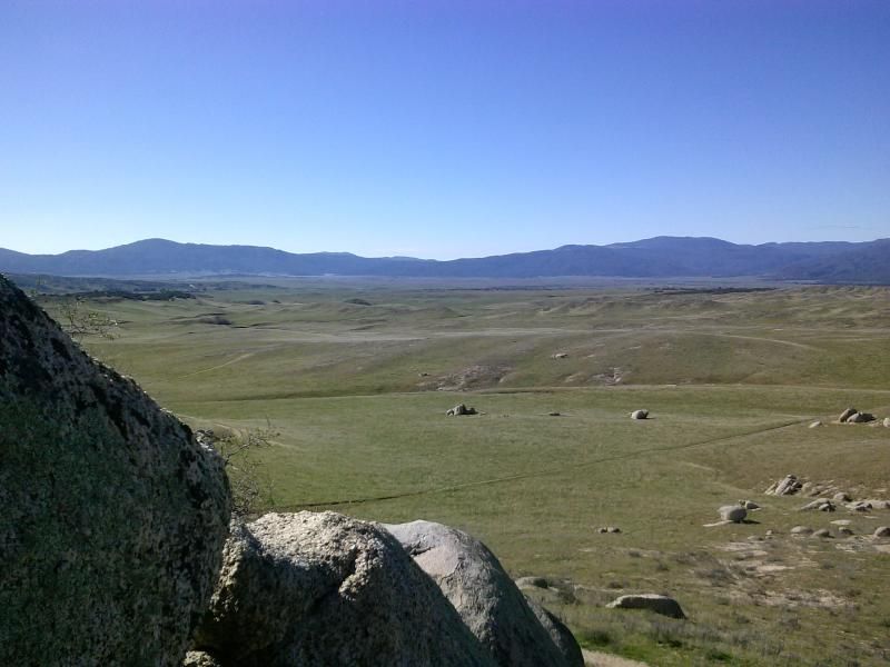
Heading back towards Warner Springs and the trail head.
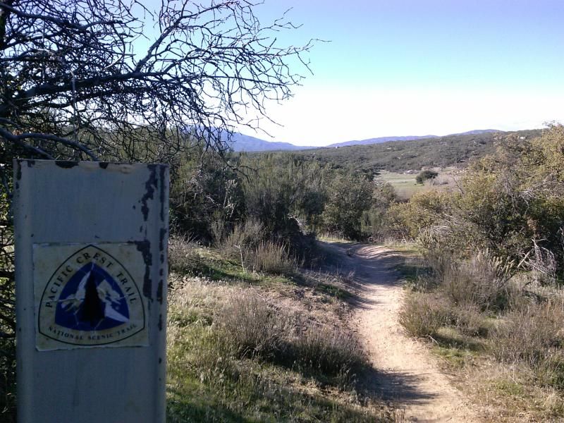
No more cows cross my path as I return along the oak-shaded ravine.
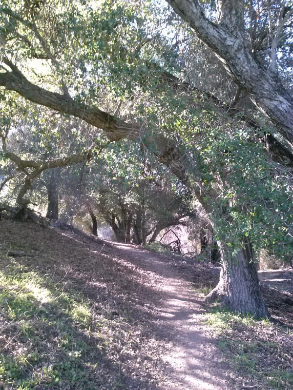
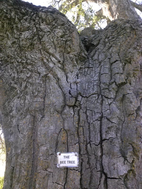
Bees were coming up out of this tree. Probably not a good place to take a break.
Back through one of the gates. Make sure to close it behind you.
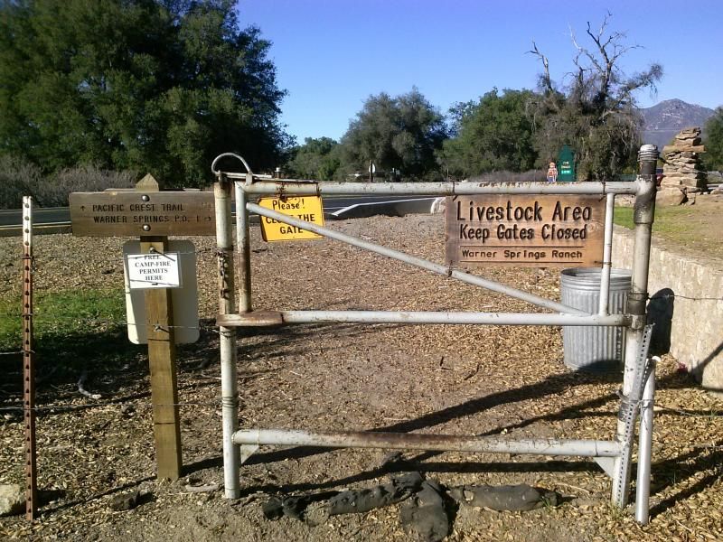
I guess this is only open for a short time for the thru-hikers from April to May.
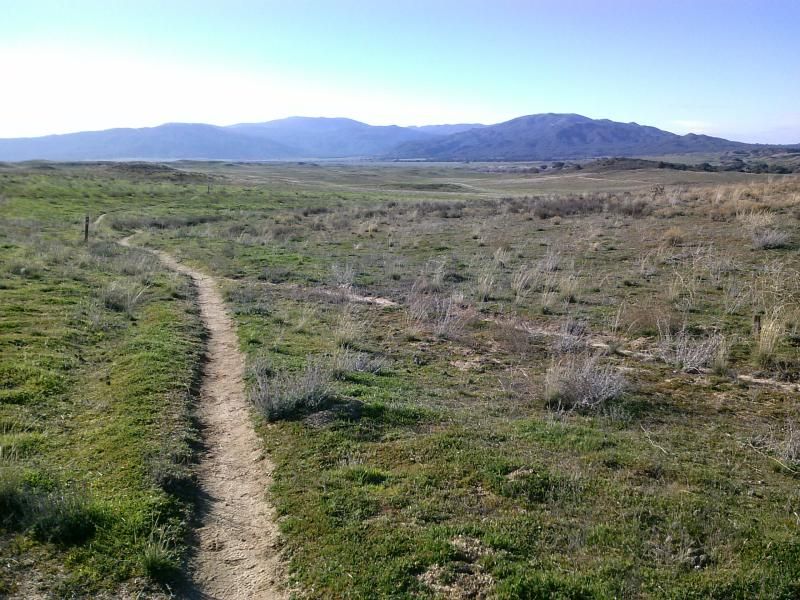
Back onto the grassy plains.
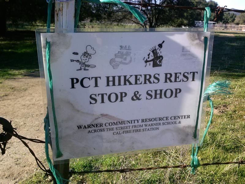
Crossing back through the backpackers campground before finally reaching highway 79 where I am parked.
Overview of my route.

Directions: From San Diego take highway 67 through Ramona where it becomes highway 78. At Santa Ysabel take a left onto highway 79 and head about 16 miles to Warner Springs. About a 1.5 miles past Warner Springs there will be a large turn out on the left side of the road. This is the 10 mile trail head, if you see the airfield you have gone to far.  At this point the trail to the Pacific Crest Trail starts just across the highway. If you would like a shorter hike, the 7 mile hike starts near the fire station just before Warner Springs.

Click HERE for a great write up from Modern Hiker.

Tuesday, January 27, 2015

Eagle Peak | Cleveland National Forest


Eagle Peak in San Diego County would mark the fifth outing for my 52 Hike Challenge. Perched among the headwaters of the San Diego River, the summit commands a 360-degree view of the surrounding watersheds. This relatively easy peak can usually be enjoyed in solitude since most of the crowds here head down to nearby Three Sisters Falls. The views of the surrounding area and into Boulder Creek from the top are definitely worth the trip.

"Standing tall amid lesser bumps on the west slope of the Cuyamaca Mountains, Eagle Peak has a view of the island-dimpled ocean, scattered parts of urban and suburban San Diego, and the higher mountains -- dominated by Cuyamaca Peak -- in the east. Hawks and golden eagles can sometimes be seen soaring on updrafts overhead. A recent proposal, advanced by Cleveland National Forest, aims to close the summit of Eagle Peak (plus two or three other county summits) to all visitation during the cooler months to encourage the nesting of birds of prey. This controversial proposal has not yet been implemented, but if it is, a visit to Eagle Peak during the prime hiking season -- winter and spring -- this year or maybe next, may be your last chance to do so." -Jerry Schad, Afoot & Afield In San Diego County


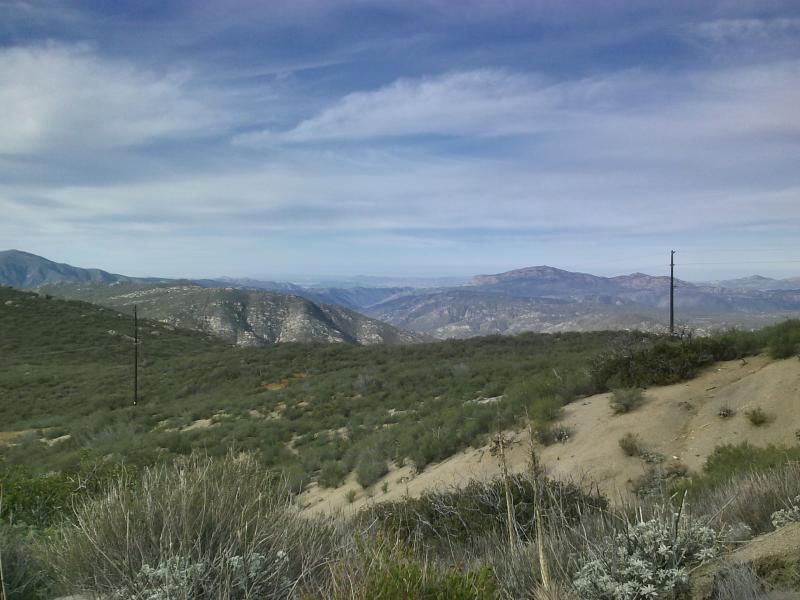
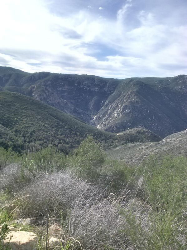
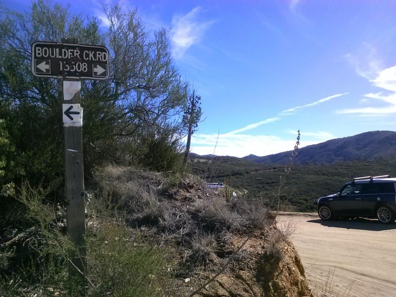
I always enjoy the view of San Diego's backcountry along Boulder Creek Road.

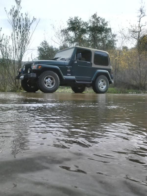
We've been in a bad drought, so I was happy to see water flowing across the Boulder Creek crossing here.

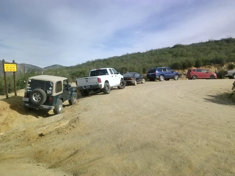
To say that the trail head was crowded would be an understatement. I've never seen more than 5 vehicles parked here... on this day there were around 30... even more when I finished.

From the parking spot at the hairpin turn in Boulder Creek Road, I followed the remains of an old ranch road due west for 0.7 mile to a saddle and trail junction, where a side trail to Three Sisters Waterfalls descends to the left. If there's been any recent rain, you can hear the sound of the falls, which lie beyond the next ridge to the south and down in the gorge of Boulder Creek.


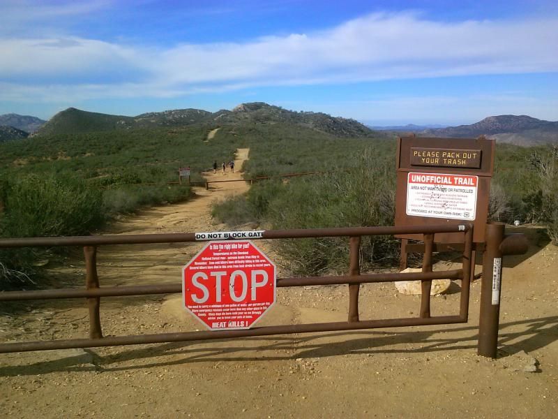
I was bummed to see the gate to Cedar Creek Road was still closed. The forest service will usually close it when it rains.


There were quite a few planes flying overhead.

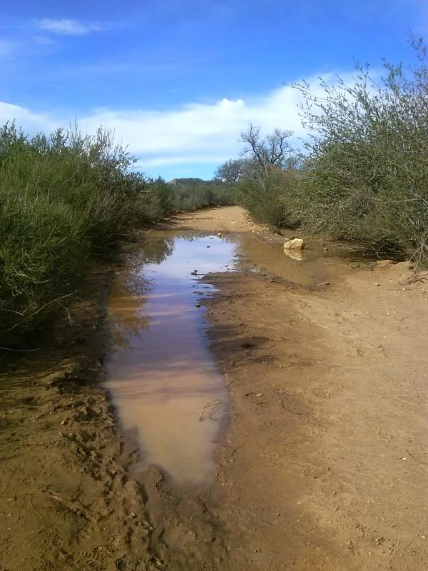
A little leftover mud from the recent rains.

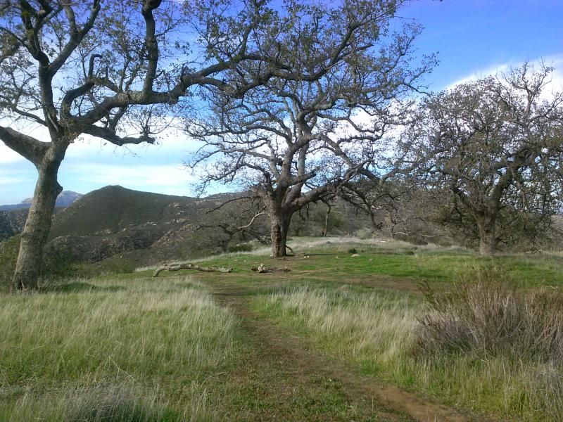
This little grassy, oak-shaded area would make for a nice picnic.


Three Sisters Falls in the distance. The trail for this breaks off to the left up ahead.

Saving the trip to the falls for another occasion, I press on, climbing west along a brushy hillside for about another half mile.

I soon start descending into a vale shaded by live oaks. After a bit of descent on an increasingly poor trail, I noticed a shallow draw to the left (on ahead lies a pond, and possible sites for trail camping, such as this one I came across). 

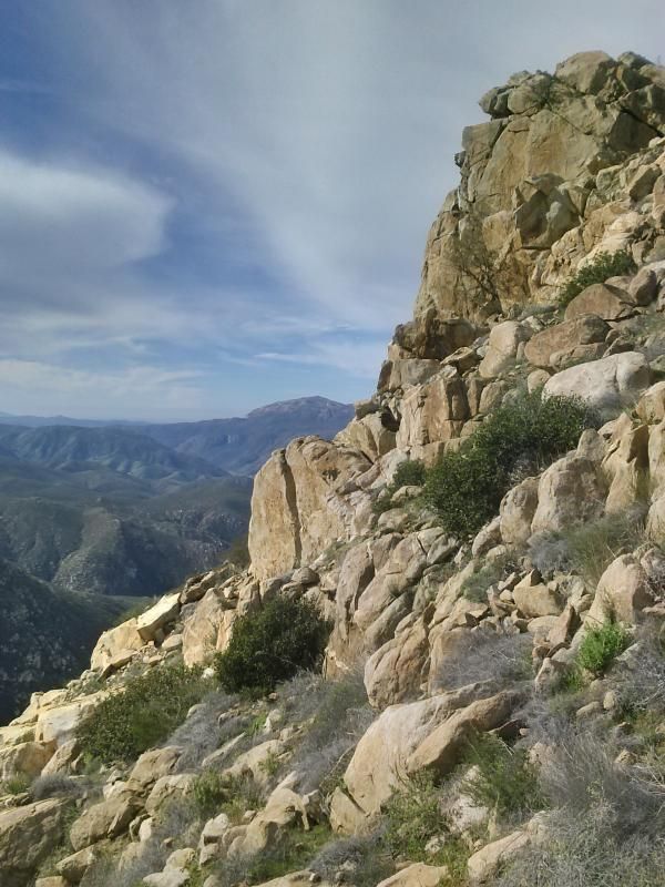
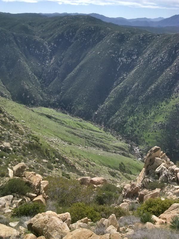
Leaving the trail at this point, I work my way southwest, through brush and over boulders, to the ridge some 300 vertical feet above. Once atop the boulder-strewn ridge line, the view opens up to a heart-stopping dropoff to the south. Peering over the edge, I could see a silvery thread of water making its way amid the tree-lined gorge of Boulder Creek.

Eagle Peak's true summit, with a hiker's register on it, lies about 0.2 mile farther up the ridge, beyond a couple of false summits.


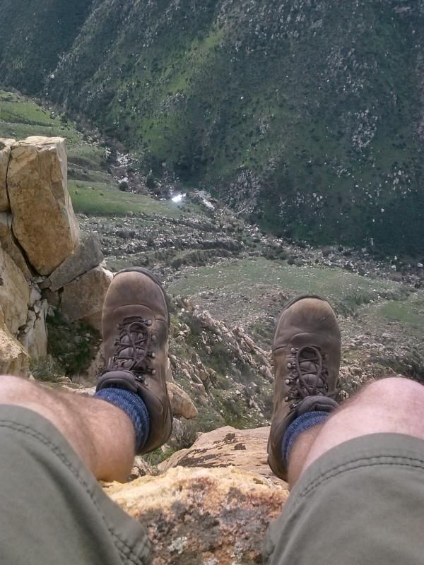
Obligatory, vertigo-inducing drop-off shot on the south side of the ridge.

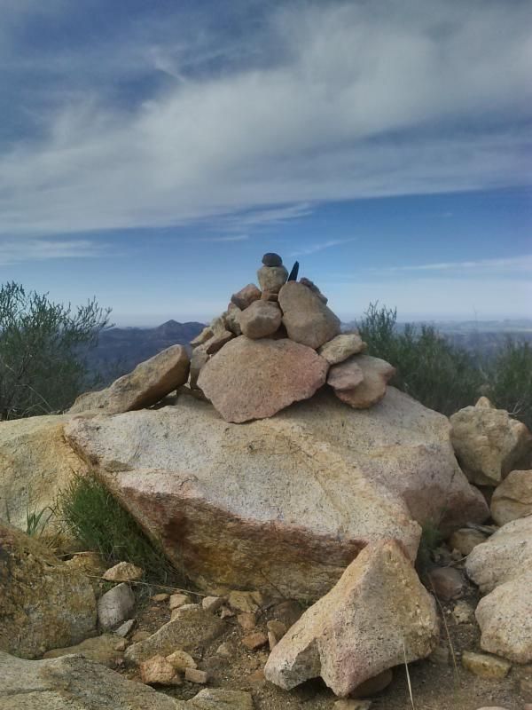
Reaching the summit.

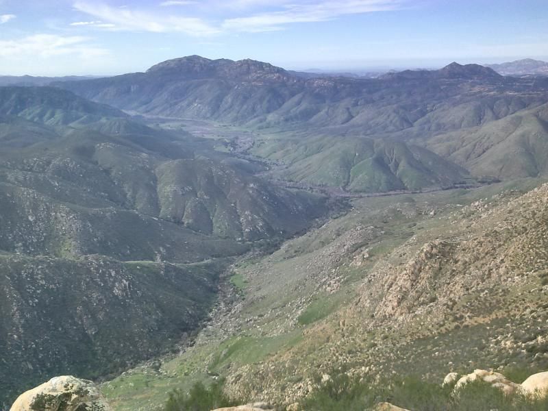
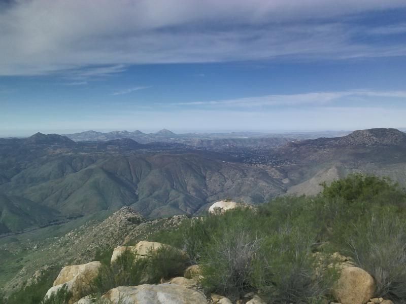
Boulder Creek & San Diego River junction with El Capitan Mountain in the distance.

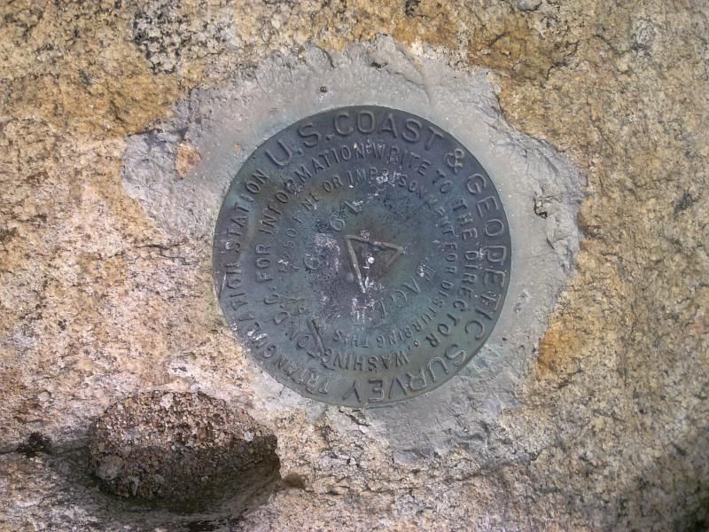
A benchmark dated 1959, threatening a $250 fine or jail time for disturbing it.

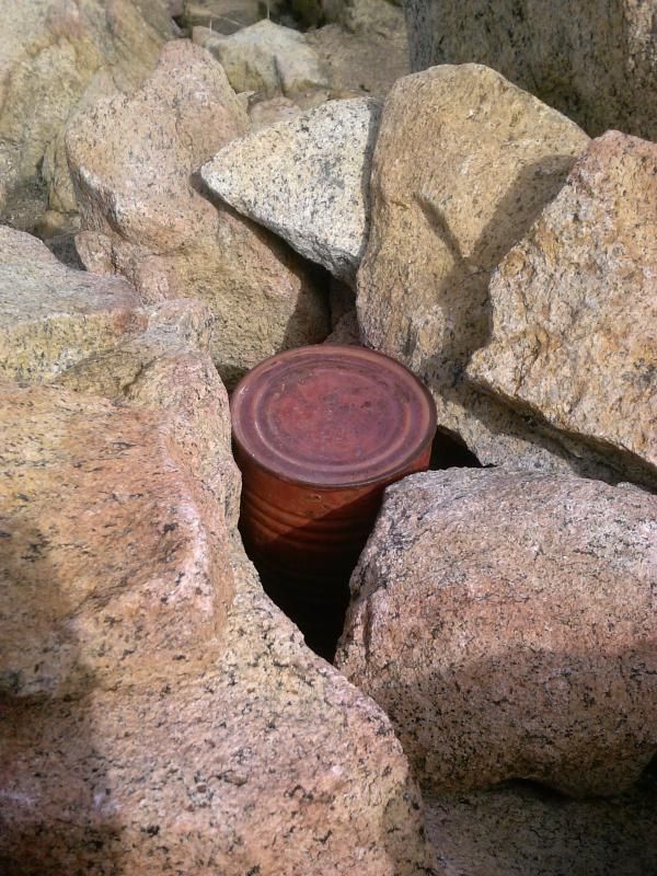
The summit register.

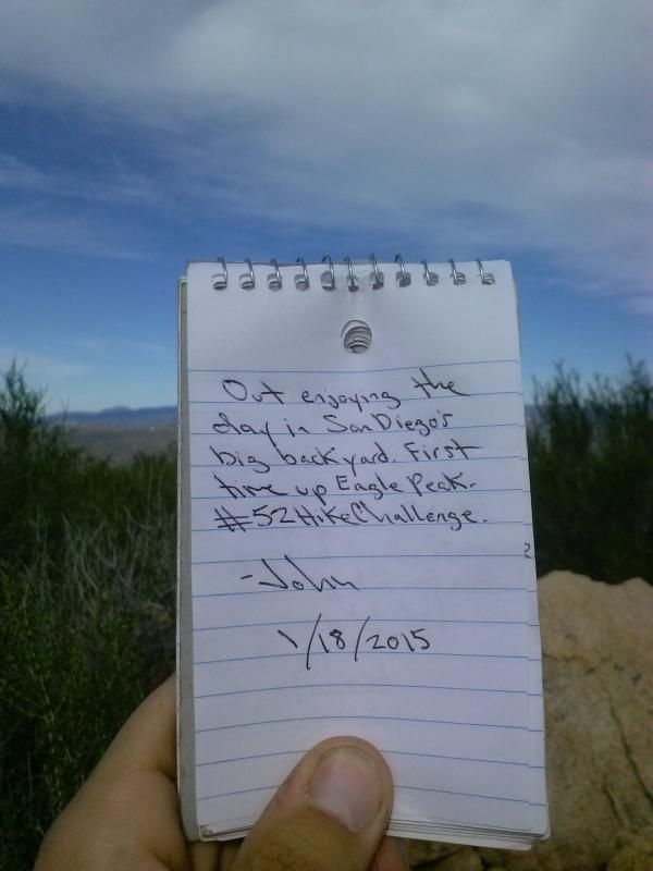
After leaving a note, I took in more of the surrounding views before heading back.

 Ramona’s Four Corners area and the other trail leading down to Cedar Creek Falls in the distance.

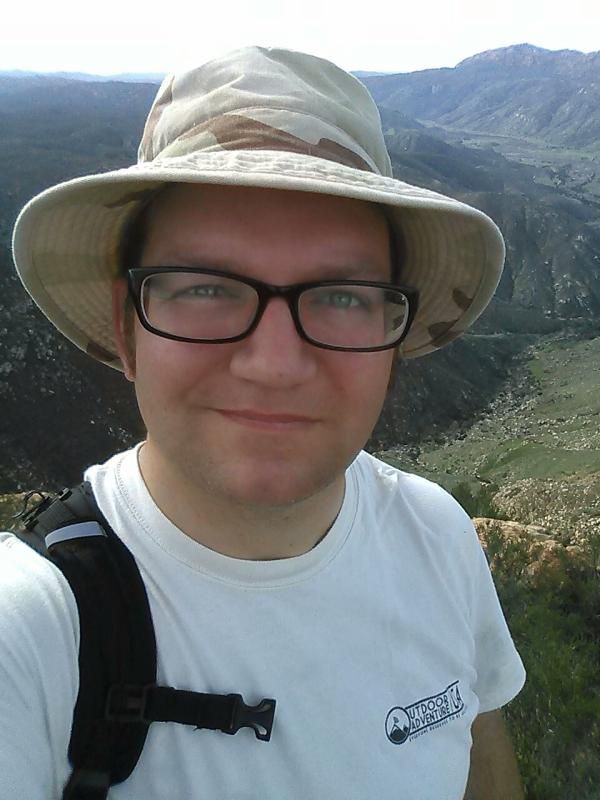
Summit selfie!

Taking a little break on the way back.


Messing around with my camera-phone.

More vehicles parked near the trail head. The vast majority of the crowd here was heading to the falls. I was glad to have the summit all to myself.
Some mountain bikers were nice enough to take my photo.

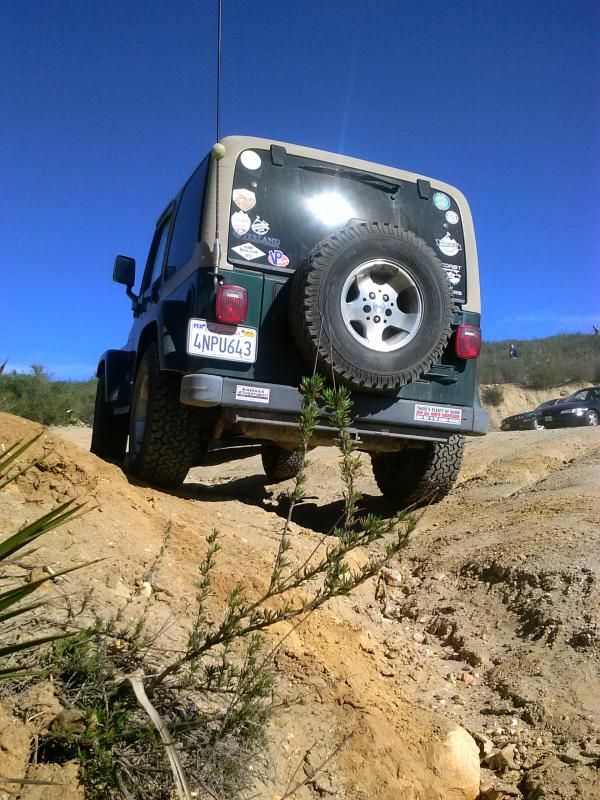
Back to my Jeep at the trail head. It was another great day spent in San Diego's backcountry.

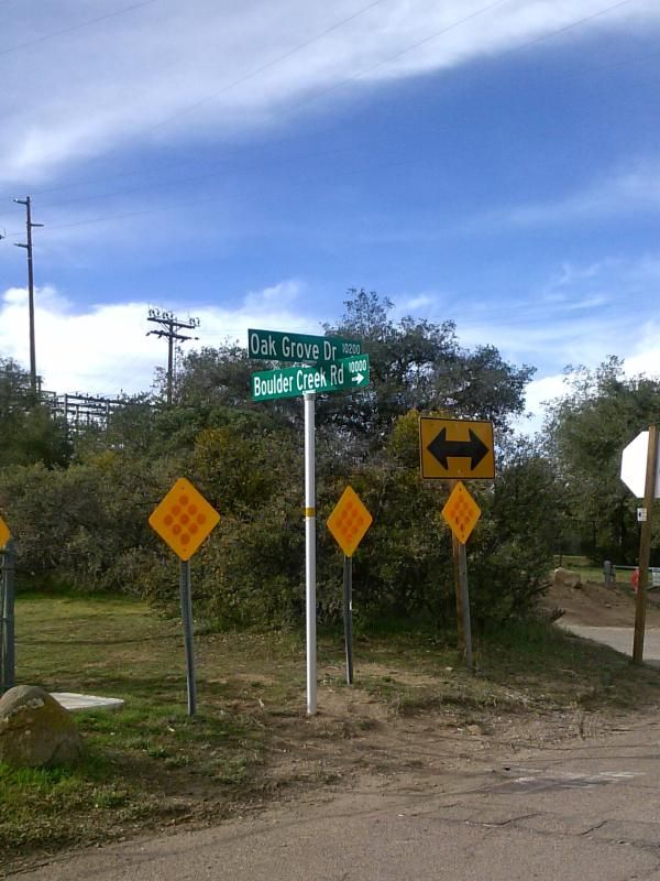
To Get There: From Interstate 8 , exit at Highway 79 ( the Descanso exit) and drive north. After 1.3 miles turn left on Riverside Drive. Turn left on Viejas Grade Road (there's a small market and gas station on the corner) and then turn right immediately on Oak Grove Drive. From there take Oak Grove Drive 1.6 miles to the intersection of Boulder Creek Road on the right. Follow Boulder Creek Road north for about 13.0 miles (the first half is paved and the rest is dirt) to a hairpin turn where unpaved Cedar Creek Road joins from the west. Park there, at the Eagle Peak and 3 Sisters Waterfall Trailhead taking care not to block traffic, and post an Adventure Pass on your car. (This hairpin turn and intersection can also be reached, by way of Engineers Road or Pine Hills Road to the north.)


Bring Lots of Water: This area can get really hot in the spring and summer... if you decide you want to go down to the falls you're going to need even more water as well.

Distance: 4.75 miles
Elevation Gain/Loss: 1300'/1300'