Since the upper reaches of Painted Gorge and Carrizo
Mountain are closed from January 1st to May 31st due to a seasonal
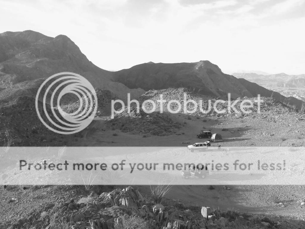
bighorn sheep closure, I planned on camping near the summit over the weekend of
the 15th and 16th of December, 2012 with my wife and daughter. Along with
exploring old mining roads around the mountain, I also searched for fossilized
wood near the Plaster City area and explored the fossilized oyster beds of the
historic Yuha Desert. This area is located just outside the Anza-Borrego Desert
State Park on BLM land. It was great spending some time in one of my favorite
areas of the Southern California desert and relaxing around the campfire with
my family.
The beginning of the route to Carrizo Mountain starts on Painted Gorge Road along Highway S80 and passes through Plaster City OHV
Area. The graded road soon becomes a trail as it nears
the sandy wash of Painted Gorge and quickly enters the canyon. Embedded rocks
litter the wash, which eventually turns into a very narrow, rocky, loose shelf
road as it nears the summit of Carrizo Mountain. There are great views of the
Yuha Desert and Salton Sea along this trail.

Desert USA has the following to say about Painted Gorge, "The Painted Gorge, located on the eastern side of the Coyote Mountains, consists of sedimentary, metamorphic and ingenious rocks. Heat and movement over time has created fantastic shapes and colors. Oranges, reds, purples, and mauves mixed with browns and blacks create a palette of color as the sun illuminates and plays shadows upon this geologic wonder called the Painted Gorge."
Painted Gorge / Carrizo Mtn Trail

Desert USA has the following to say about Painted Gorge, "The Painted Gorge, located on the eastern side of the Coyote Mountains, consists of sedimentary, metamorphic and ingenious rocks. Heat and movement over time has created fantastic shapes and colors. Oranges, reds, purples, and mauves mixed with browns and blacks create a palette of color as the sun illuminates and plays shadows upon this geologic wonder called the Painted Gorge."
Hoping the weather clears up by the time we get out there.

Things are looking good!


Things are looking good!

Carrizo Mountain is the highest point of the rocky Coyote Mountains, located in the transition zone between the Salton depression of Imperial County, and the mountains and desert valleys of the Anza-Borrego Desert State Park to the west. The range is located not far north of Interstate-8 near the small community of Ocotillo.

Helping me set up the tent.

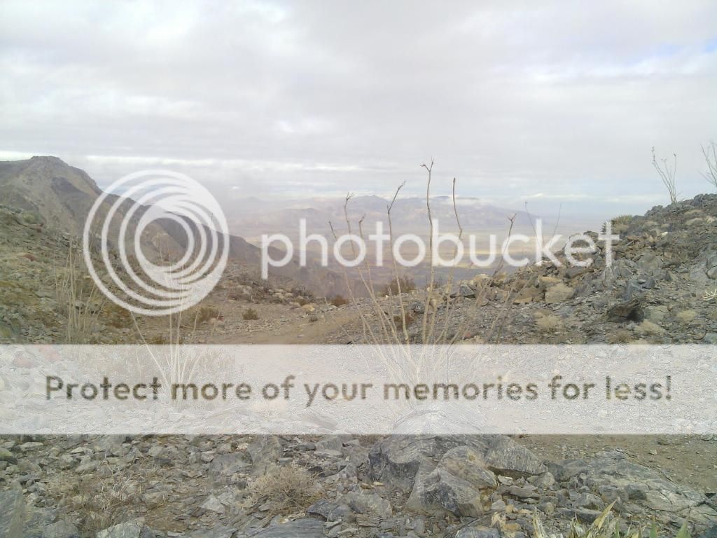


Driving through Pained Gorge.

Our mountain top campsite can be seen in the distance.
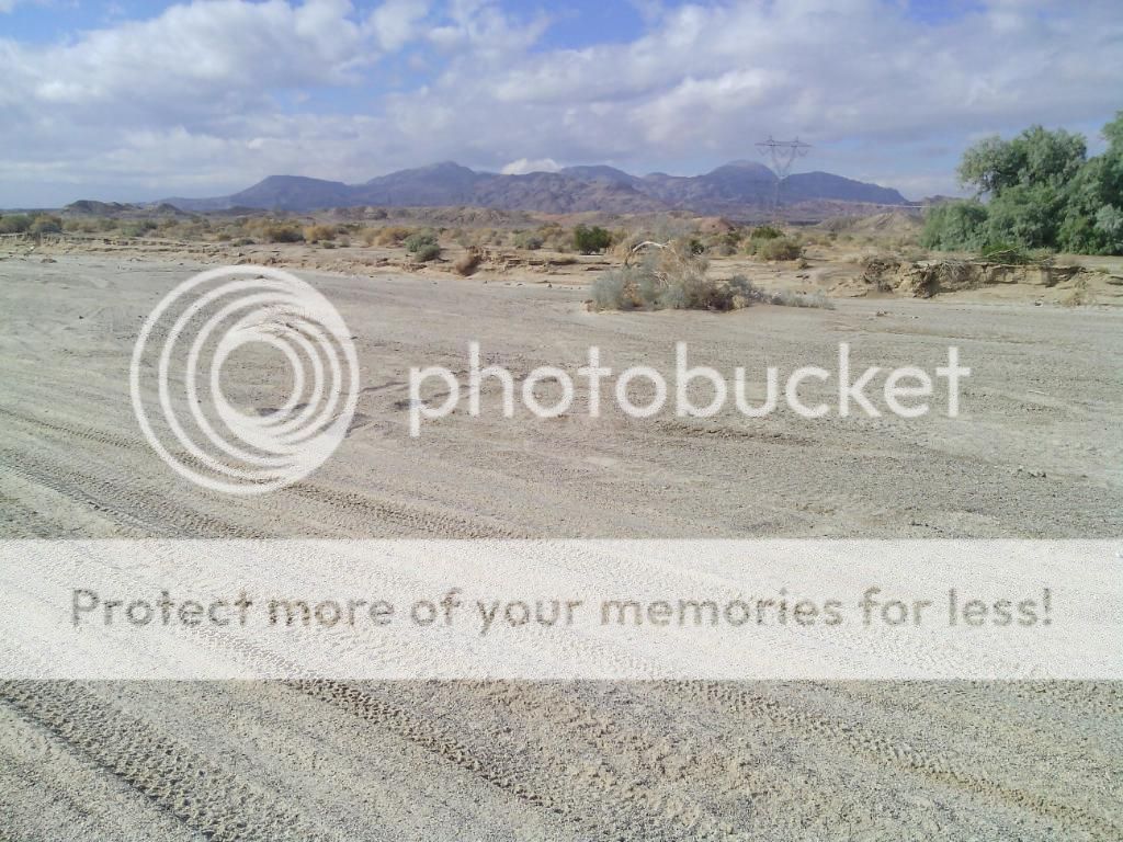
Bits of fossilized reef and shells just west of Plaster City.

Our hunting grounds.
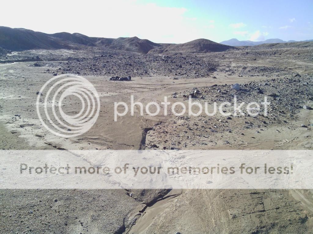
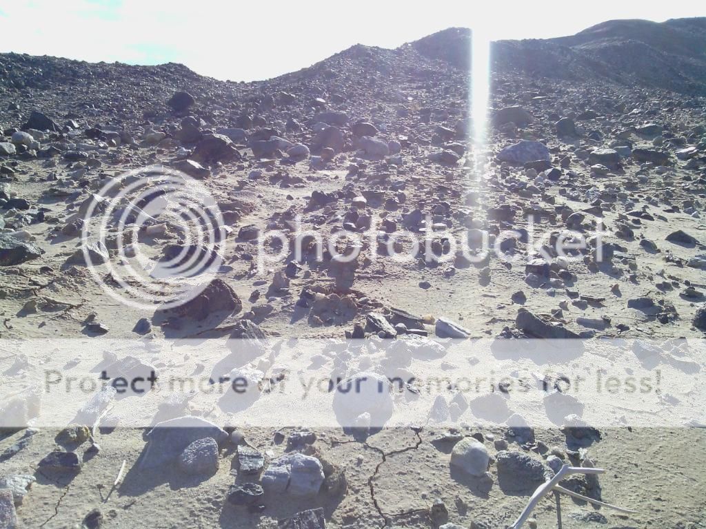

A few pieces I managed to find.

My girls relaxing in the shade.


This is what happens when you get lost...
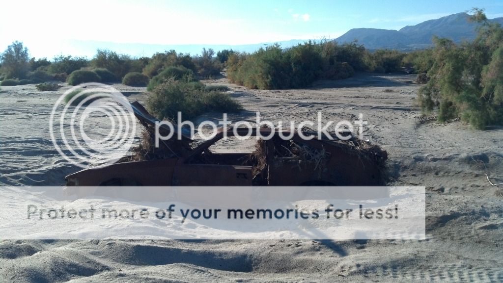
The things we find in the desert. This would make a good camp chair, right?
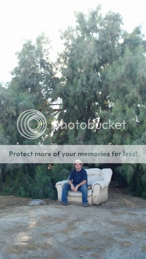
"No daddy, that's just silly!"

Heading back up the mountain.

Looking back towards Painted Gorge.

Home away from home.

More photos of the surrounding area.
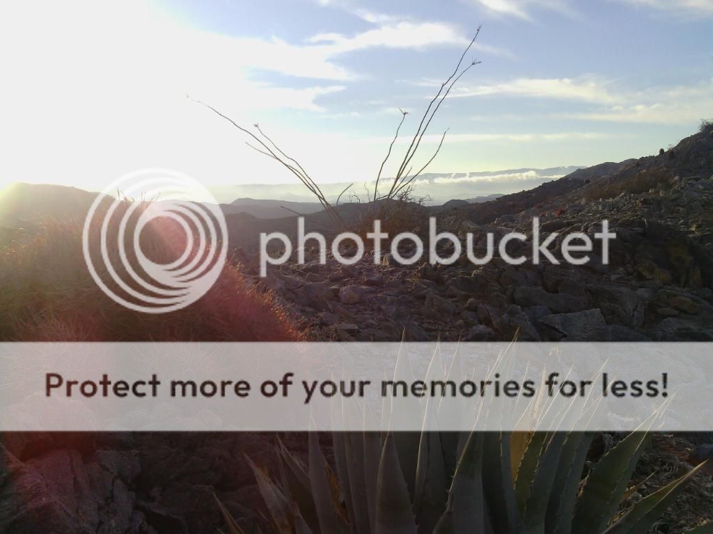

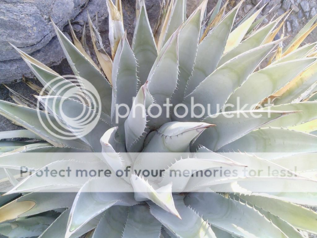
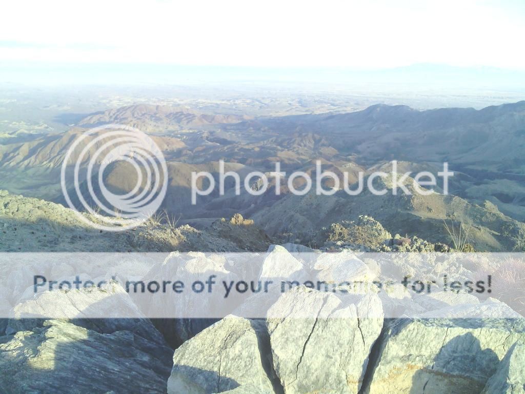

Watch out for all the weirdos up here!

It turned out to be a cold night, so we all enjoyed the fire.


Sunday morning.


I think she's ready to go!


Heading down the mountain.
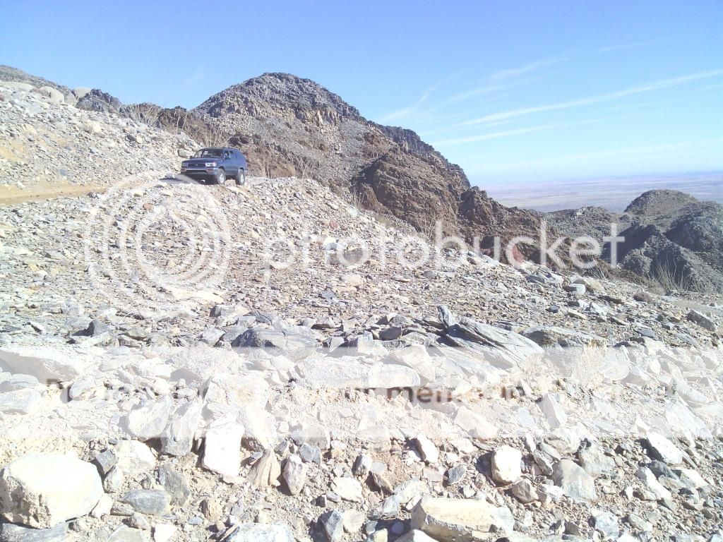


Stopping to check out another potential campsite.

Heading south on Painted Gorge Road.

After crossing under Highway S80 we part part ways with Steve and continue on towards the Yuha Basin with Patrick.

We make our way along the old State Highway, being careful to avoid the collapsed sections. I love exploring old abandoned roads.
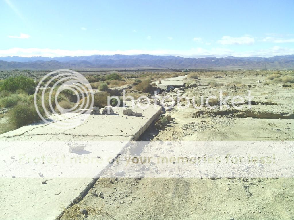
The original paved road dates to 1915 and was only 15 feet
wide, but paved with Portland Cement. This is unusual for a desert highway
since asphalt is better suited to accommodate the temperature extremes
associated with the desert climate. This road was surpassed in turn in 1932 by
a wider road, U.S. 80, this time paved with asphalt. Both alignments remain today and
can be easily seen.
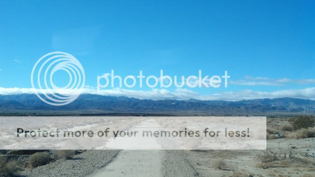
Crossing under Interstate 8.
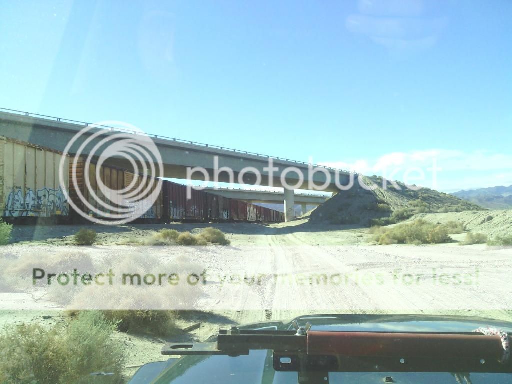
Making our way into the remote, seldom traveled Yuha Basin.

Yuha Basin Map

The Yuha Desert of extreme Southern California is rich in both human and natural history. The area contains several unique attractions; the Juan Bautista de Anza National Historic Trail, geoglyphs created by Native Americans, an area of rare crucifixion thorns, oyster shell beds, and the Yuha Well. The Yuha Desert is an Area of Critical Environmental Concern and is a limited use area. Please observe all posted signs. Routes traverse a variety of terrain, from flat desert pavement to sandy washes, to mud hills and other badlands type features.

Yuha Basin Map

The Yuha Desert of extreme Southern California is rich in both human and natural history. The area contains several unique attractions; the Juan Bautista de Anza National Historic Trail, geoglyphs created by Native Americans, an area of rare crucifixion thorns, oyster shell beds, and the Yuha Well. The Yuha Desert is an Area of Critical Environmental Concern and is a limited use area. Please observe all posted signs. Routes traverse a variety of terrain, from flat desert pavement to sandy washes, to mud hills and other badlands type features.

The Yuha Buttes.
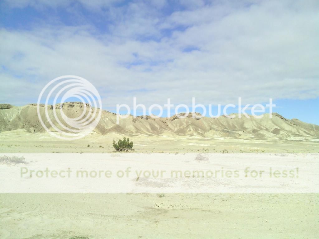

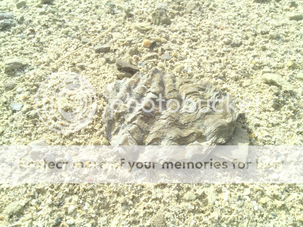
We soon find ourselves surrounded by low lying hills covered with fossilized oysters and ancient reef beds.

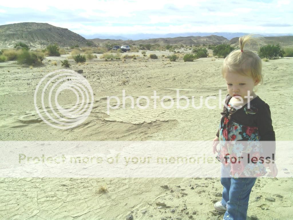
My little helper.


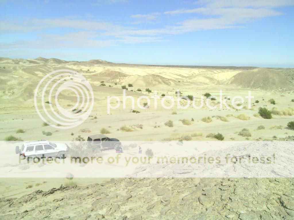
The larger oysters were found in the lower areas of the wash.
All too soon it was time to make our way back to civilization.


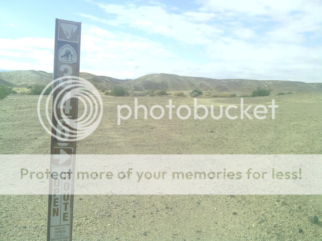
Following the route that would take us back to the freeway.
These were a prominent sight from pretty much where ever we were.

One last look back towards an area that'll need to be explored much more.


