
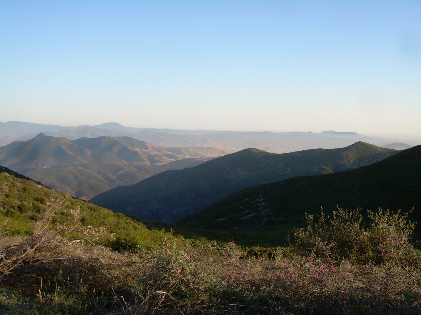
Most admirers of San Diego's back country are familiar with the long, pillowy range of mountains on the city's southeastern horizon. Rising from the flatlands of Otay Mesa, they are officially named the San Ysidro Mountains; but just about everyone knows them as Otay Mountain, which is the name of the highest summit.


I almost missed seeing this sign on an open gate leading down into Marron Valley. Bummer.


Chatting with the local BLM Ranger.

Otay Mountain lies within a large block of BLM controlled land known as the Otay National Cooperative Land and Wildlife Management Area. The slopes are host to about two dozen rare or endangered plants, many of which are found nowhere else in the world. On a weekend day you'll likely to come across hikers, mountain bikers, target shooters, and hunters, when in season.


The trails are also well used by the U.S. Border Patrol, which takes advantage of its ridge top views and turnouts to maintain an active presence near the international border. At the request of the U.S. Border Patrol in 1997, Otay Mountain Truck Trail was upgraded to increase the effectiveness of their patrols.

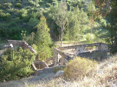
From here I make my way down the steep decent into the west end of Sycamore Canyon to check out the old homestead.

There are two routes down to the old homestead ruins. I took the "easier" one.

The steep, rocky, rutted, "waterfall".


In 1883, this area was the site of the first heavier-than-air flight, made by John Joseph Montgomery. He continued to be a pioneer in aircraft and flight until his death in 1911 from a glider accident near Evergreen in Santa Clara County. During World War II, massive gun emplacements, ammunition batteries, and lookouts were established atop the mountain to defend against any Japanese naval assault.


The trails are also well used by the U.S. Border Patrol, which takes advantage of its ridge top views and turnouts to maintain an active presence near the international border. At the request of the U.S. Border Patrol in 1997, Otay Mountain Truck Trail was upgraded to increase the effectiveness of their patrols.

From here I make my way down the steep decent into the west end of Sycamore Canyon to check out the old homestead.

There are two routes down to the old homestead ruins. I took the "easier" one.

The steep, rocky, rutted, "waterfall".


Otay Mountain is penetrated by three graded roads that join together at what is called Doghouse Junction on the summit ridge. These roads serve communication installations on the mountain crest and provide access for fire-fighting equipment.


In 1883, this area was the site of the first heavier-than-air flight, made by John Joseph Montgomery. He continued to be a pioneer in aircraft and flight until his death in 1911 from a glider accident near Evergreen in Santa Clara County. During World War II, massive gun emplacements, ammunition batteries, and lookouts were established atop the mountain to defend against any Japanese naval assault.


The trail follows a narrow shelf road for almost its entire length The road surface is smooth, but there are frequent blind corners and limited passing places. Mirrors have been placed on many of these corners to assist drivers around these bends.
No comments:
Post a Comment