One of my favorite areas to camp and explore in the Anza-Borrego Desert State Park is Sheep and Lower Coyote Canyons, located North West of the town of Borrego Springs, CA. Being somewhat secluded and accessible only with 4 wheel drive (besides foot or on horseback), its usually easy to escape the crowds here.
The original goal was to camp up in Sheep Canyon with my family, hike to some of the nearby streams and waterfalls, and generally just relax and soak in the beautiful desert landscape. Unfortunately my wife ended up having too much school work to finish up, so I ended up heading out alone on this trip. However, I was able to spend some time with my girls at Dos Picos Park in Ramona, CA before I headed out to brave the desert heat.
Audrey was able to entertain herself with an umbrella while mommy was busy with a photo shoot.
There was also a nice playground she enjoyed.
After a few hours we said our goodbyes and I headed off towards the desert.
There are always great views coming down Montezuma Grade.
A few of the roadside plaques you can checkout while taking in the views.
My tires eventually left the pavement behind where I found a spot to air down and get ready for the ride up through Lower Coyote Canyon.
The trail up Lower Coyote Canyon travels up the canyon wash, passing close to a campsite of the second Juan Buatista de Anza expedition in 1775. Hand-dug wells produced enough water for nearly 800 head of stock and more than 200 people.
The expedition, from Tubac in what was then Sonora, Mexico (now part of Arizona) would take five and a half months to reach Alta California. Juan Bautista de Anza first passed through the Borrego Valley in March 1774, on his first route-finding mission to the new Spanish settlements in California. Santa Catarina Springs was their campsite on March 14, 1774.
Coyote Canyon runs from Anza to Borrego Springs and offers two separate vehicle trails, one from the north and one from the south. Of the two, the southern approach is more popular with hikers and four-wheelers. For eight months of the year, hikers, horses, and mountain bikers can connect the two trails via a 3-mile section of the canyon between Middle and Upper Willows. Between June 1 and September 30 each year, Coyote Canyon is closed to all users to protect water sources for the rare peninsular bighorn sheep. A seasonal closure gate after Second Crossing restricts users during this time.
The trail leaves from Borrego Springs to the north, passing the historical marker commemorating Sebastian Tarabal. It passes the graded road to Vern Whitaker Horse Camp before leaving the citrus groves behind and entering Anza-Borrego Desert State Park up a formed, sandy trail. There are three crossings of Coyote Creek; the first is usually dry, the others normally have year-round water that may be up to 24 inches deep.
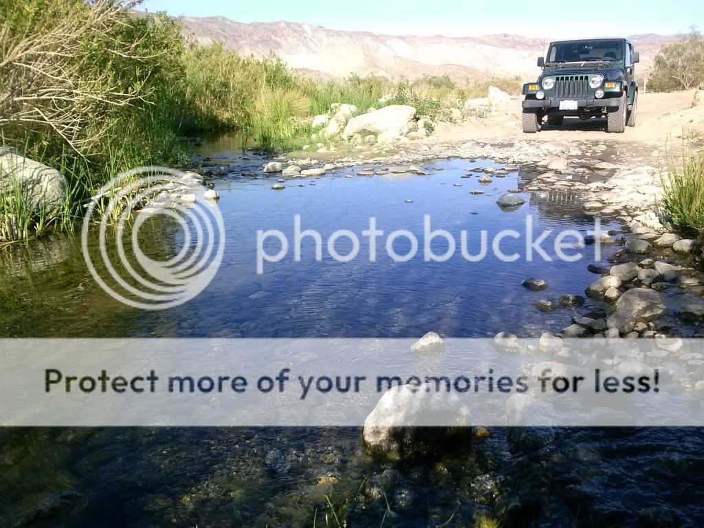
Checking out the second crossing of Coyote Creek. The exact location of the crossing can change from time to time with each passing storm.
The third crossing of Coyote Creek has been re-routed just upstream. You can see the large boulders blocking the old entrance to the left.
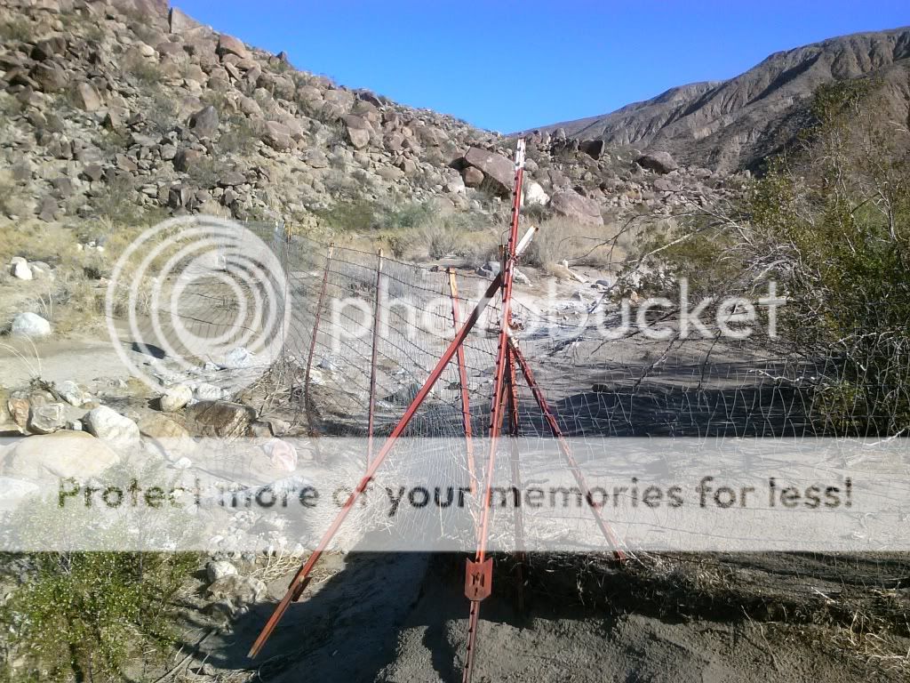
There are people who would like to see this area closed to all motorized use. This may have been done to appease the "environmentalist".
Approaching the new third crossing.
This was still the deepest crossing, with water reaching to just under the door.
The difficult stretch of trail comes a short distance after Third Crossing. The trail ascends a steep, rocky pinch that consists of loose, fist-size rocks and large embedded boulders. Careful wheel placement is needed to keep the undercarriage off the rocks. Approaching "Boulder Alley" I shift the 4WD into low range and work my way up the rocks, being careful to avoid any contact with the undercarriage.
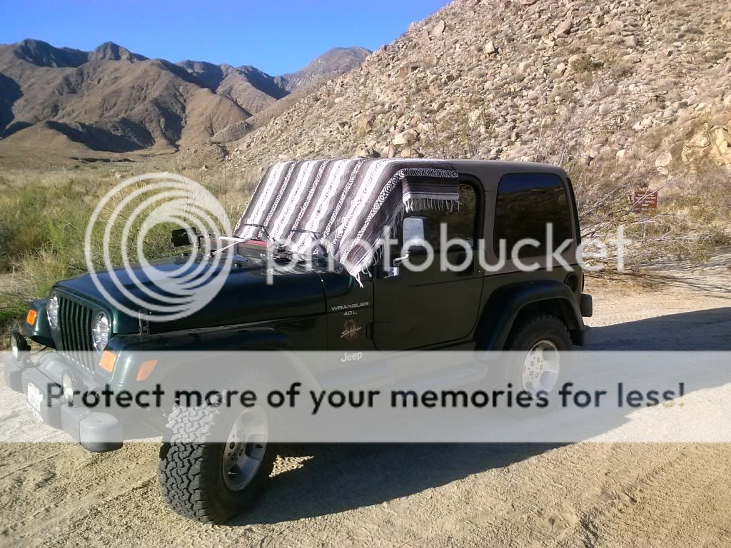
This was the first time taking my 2000 TJ Jeep Wrangler up this trail. With no suspension lift on 31 inch BFG A/T's I was able to traverse this section of trail without any issues.
Once at the saddle, looking north into Collins Valley, the difficult part of the trail is over, although you do have to return the way you came. The trail reverts to a smooth, sandy surface as it descends into Collins Valley.
At this point in the trail I always get a sense of how remote this area is. Adventure awaits!
This should remind us to tread lightly and to pack it in, pack it out.
This monument commemorates the site of Santa Catarina, named by Juan Bautista de Anza when his expedition camped here on March 14th, 1774.
Overview of Santa Catarina and Lower Willows.
Looking north towards Toro Peak and Santa Rosa Mountains.
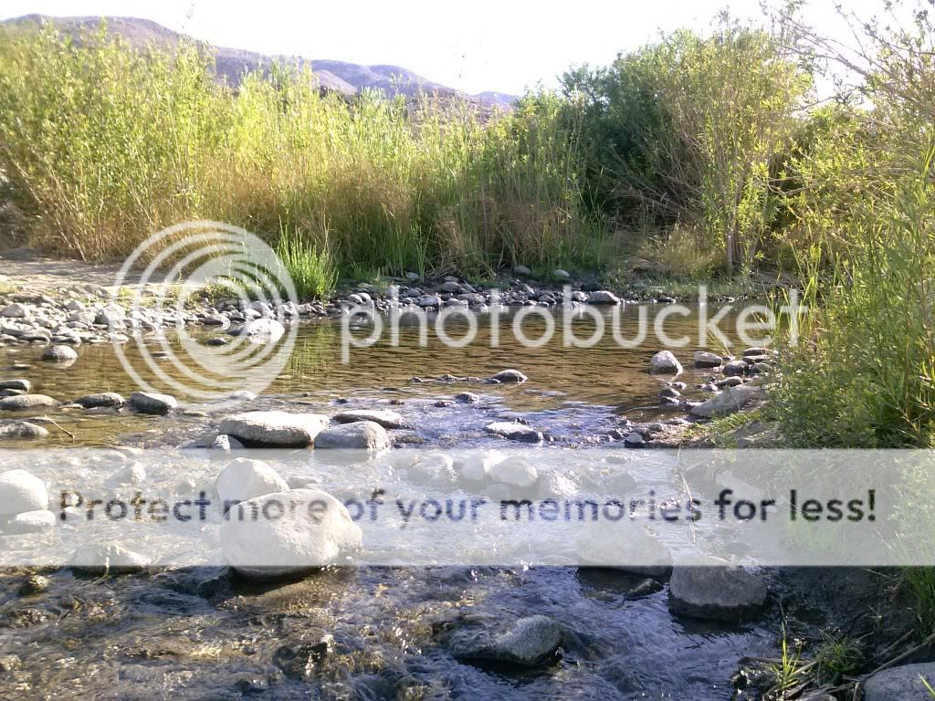
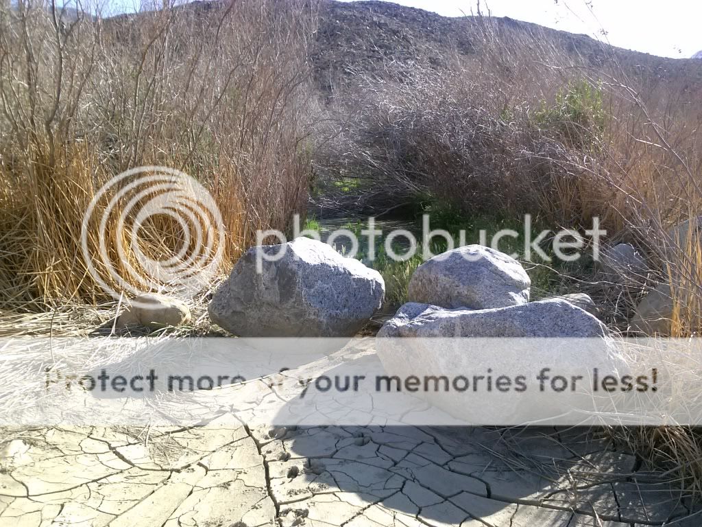
Sheep Canyon Wash crossing. Only once have I ever seen water flowing down this far.
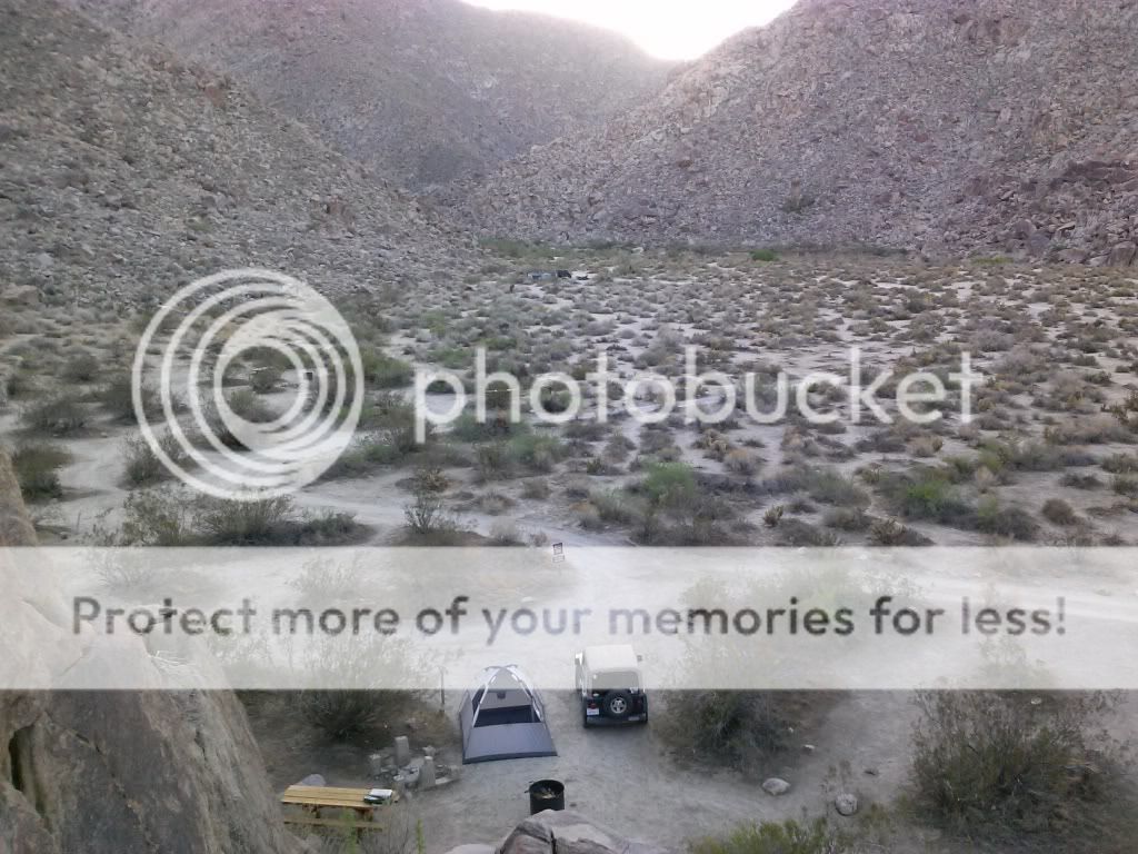
Arriving at the camping area I was surprised to see new signs. There are five improved sites with new fire rings and wooden picnic tables. Only $10.00 a night.
One of the new sites.
Home for the night.
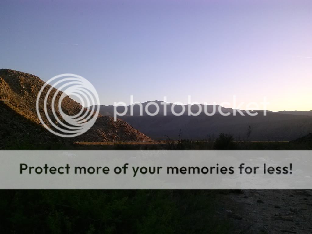
Looking out towards Collins Valley.
Looking back up Sheep Canyon.
I was treated to a night of shooting stars and satellites crisscrossing the sky.
The next morning I was up early for a hike into Cougar Canyon.
I was hoping to avoid the head of the day and reach a few pools and waterfalls located deep within the canyon.
A nice spot to camp if you're backpacking in.
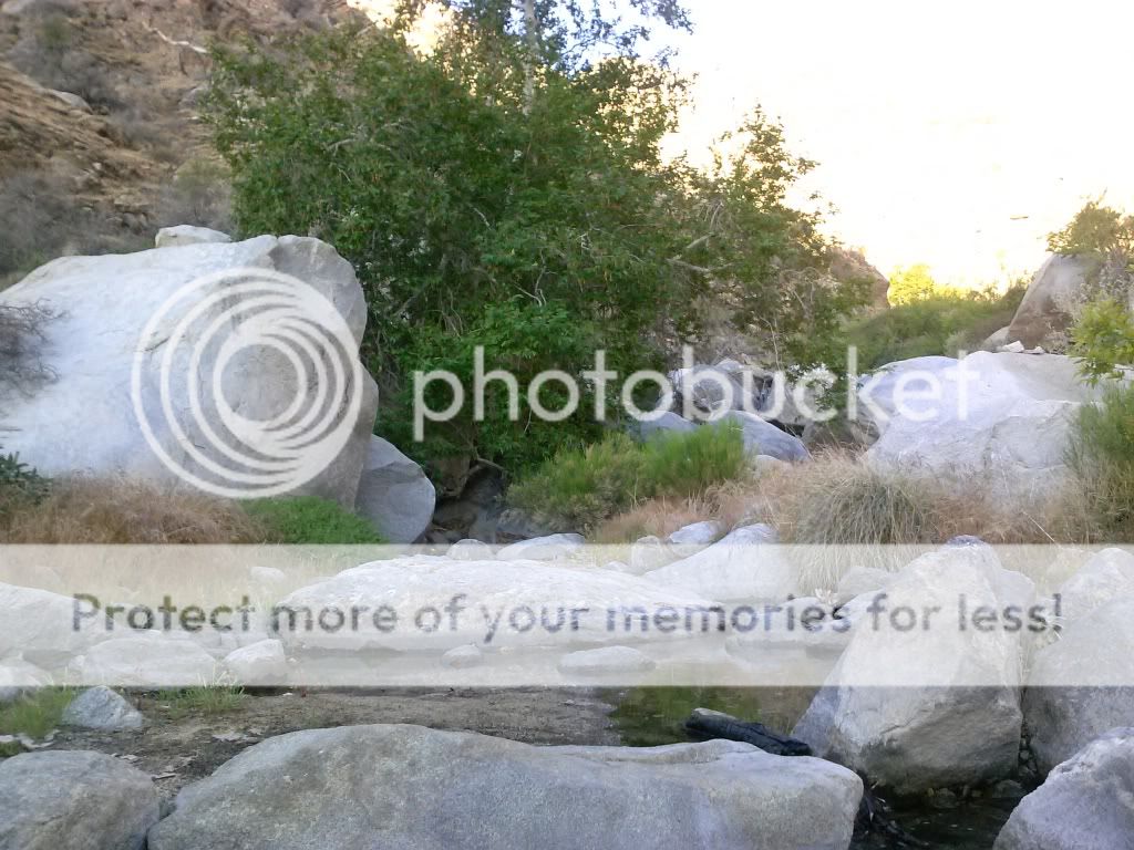
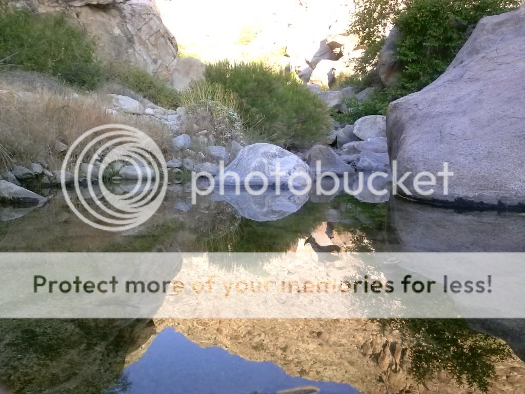
I finally find water!
Continuing up the canyon...
Here is Jerry Schad's description of this hike: "Anza-Borrego's Cougar Canyon is a place where new worlds open up at every turn. There are more gorgeous sights to see along a half-mile of this canyon than in a full day's hiking in most other parts of our local desert. Ahead (as far as your scrambling skills will carry you) you'll discover limpid pools, silvery waterfalls, feathery cascades of spray, a pocket palm grove, and on one rock a fading psychedelic "eye" -- circa 1970 rock art."
My goal was to reach a deep pool fed by a large waterfall at the 2300-feet elevation mark.
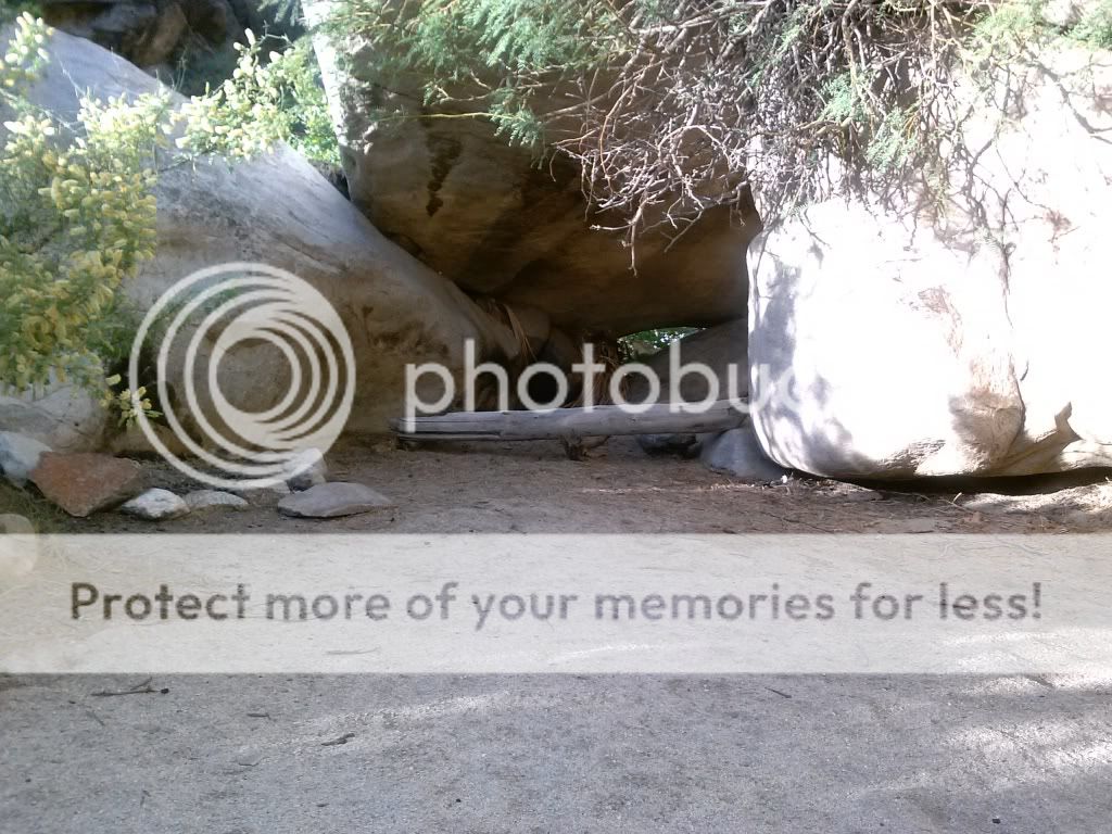
I came across a cave with what looked like a pictograph nearby.
If those markings are authentic, its really irresponsible that some would build a fire so close. Besides that, ground fires are not even allowed in the state park.
Returning to my Jeep at the trail head. I wasn't able to head as far into the canyon as I had hoped. Since it was getting hotter, the route getting more technical, and I was alone, I went as far as I felt comfortable. I'd rather have folks read this trip report than an article about a missing hiker!
Heading out towards the middle of the canyon and the 3 mile section that was closed off in 1996. Lovin' the two tracks out here.
I would have liked to have driven this whole trail back in the day.
Checking out the path that leads through Lower Willows in Coyote Canyon.
Getting ready to descend the the rock gardens and leave Collins Valley behind.
Passing the desert gardens area.
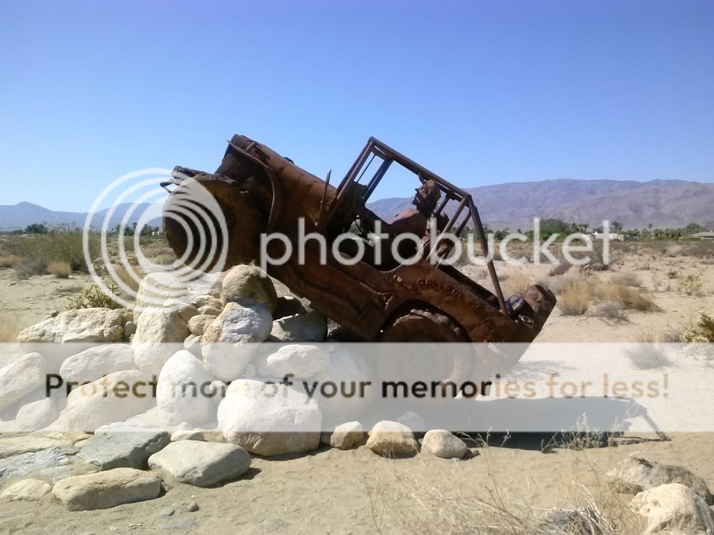
Once off the trail I stopped to check out a few of the many metal sculptures around town, built by Ricardo A. Breceda.
This was Fray Pedro Font who served as chaplain and “cosmographer” on the the second famed trek of the Anza expedition.
A plaque in honor of those who traversed this land.
Here there be dragons.
For more information about these metal sculptures click here: http://ricardoabreceda.com/
All too soon it was time to make the trek back into civilization. I avoided the highways as much as I could and stuck to the back roads.
Passing Lake Henshaw.
Black Canyon bridge, built in 1903. I've crossed over this many times over the years but its now closed.
There is now a new bridge built to preserve the old one.
Often, there's not much point to these trips other than to unwind and escape the hustle and bustle of everyday life. Exploring interesting areas that have some history to them is also a great bonus. Driving home I thought about my trip, the spectacular views and landscapes, and what I did to make myself slightly burnt, bug-bit, tired, and sore. It brought a smile to my face, and I was looking forward to seeing my beautiful wife and daughter at home.
Until next time, thanks for reading.





















2 comments:
John, I really like your trip reports, you cover everything from start to finish and you have lots of info and history about where you go...very nice TR!
Thanks, Daren!
Post a Comment