
IMPORTANT NOTICE
The road into Lower Coyote Canyon was badly damaged during summer rainstorms, and will not open until mid-October or later. The road into Upper Coyote Canyon should open as scheduled October 1. Horse Camp should open October 1, but the road to Horse Camp has soft sand, and four-wheel-drive is recommended. We appreciate your patience as we work to repair these roads.
Although it seemed that I would be unable to travel the entire trail, I was curious to see how far I could get and how badly it was damaged from the recent floods.
After working all night on Friday I stayed up getting ready and left the house at 6AM. The radio weather reports weren't kidding when they said to expect Santa Ana strong winds. At times it was a struggle to keep the Jeep centered along the twisting two lane highway. I was worried that I would encounter similar conditions when I reached the desert. Fortunately, I found very pleasant conditions upon arriving to the Culp Valley Campground, where I met up with some fellow adventurers.
Of course I had to stop and say hi to the Ranchita Yeti.

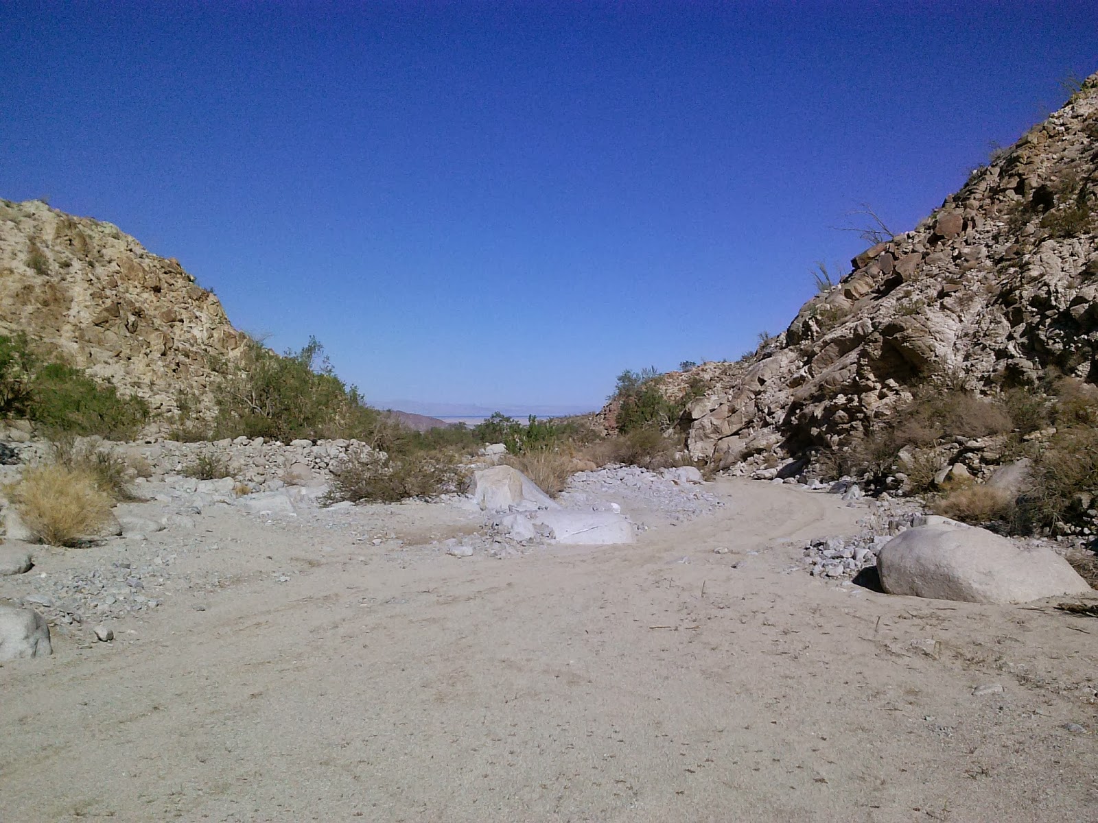
The effects from the recent rains were still apparent.

These little guys were crawling all over the place.


Culp Valley Campground is above Borrego Springs, just off Highway S-22. It offers lots of exploration possibilities, as it's surrounded by large boulders and several trails, one of which is the California Riding & Hiking Trail. At 3400 feet above sea level, Culp Valley is the only designated camping area in Anza-Borrego Desert State Park where September's heat is bearable and October's warmth is downright pleasant.


The windy conditions made for great views along the way.

Between June 1 and September 30 each year, Coyote Canyon is closed to all users to protect water sources for the rare peninsular bighorn sheep. A seasonal closure gate after Second Crossing restricts users during this time. However, the park can keep the seasonal closure gate shut if the route is too badly damaged from summer storms. This is also the route of the 1774-76 Juan Buatista de Anza expeditions.


Access denied. Past this point much of the trail had been obliterated and further travel up the canyon in my stock Jeep would have been difficult.


Not much was left of the third crossing. The course of the creek had moved further down the trail.


Making our way back out the canyon to meet up with a few friends and explore some other areas of the park.


On the way out we made a quick stop to check out a few of the metal sculptures built by Ricardo A. Breceda.


While everyone else headed back to camp I made my way south into an area of dense vegetation that was once the San Gregorio Indian village at the narrowest point of the Borrego Sink drainage. Atop a hill on the south side of the wash is the San Gregorio monument. The Anza expeditions of 1774 and 1775 made their cams near this spot. A series of wells were dug into the sandy wash to provide water for people and animals.


For cactus lovers, the stretch of Old Kane Springs Road near Harper Canyon is a favorite showplace. Harper Canyon Road is known as Cactus Garden, but it also offers examples of the slow-growing Desert Ironwood Tree. Old Kane Springs Road runs southeast from SR-78 to Split Mountain Road. The road is mostly sandy whoops with some occasional rocky areas, nothing difficult. Harper Canyon Road runs south through one of the most beautiful cactus gardens in the park, eventually ending at a big pile of boulders a mile or two on.


Horace Parker, guidebook author and state park commissioner, named this area Cactus Garden. Six of the twelve varieties of cacti indigenous to this part of the Colorado Desert are found here. Also abundant here are other desert plants that grow in rocky terrain and dry washes, such as ocotillo, ironwood tree, smoke tree, lavender, and indigo bush. A steep 3 mile hike from road's end here into narrow, rocky Harper Canyon leads ti the broad expanse of Harper Flat.


Looks like someone else was out hiking towards Harper Flat.


Borrego Springs Road and Texas Dip.

Afterward, I made my way back to Culp Valley Campground for dinner, then said my goodbyes to everyone who was staying overnight. In a few weeks I'll be back again with my family to enjoy this wonderful Southern California desert.
No comments:
Post a Comment