Cowles Mountain from Golfcrest Drive - South Approach:
Distance: 3 miles round trip
Elevation Gain/Loss: 950'/950'
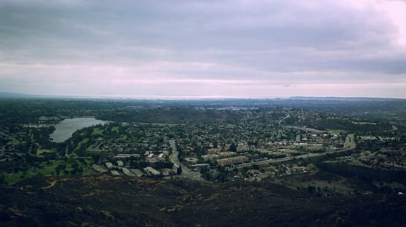
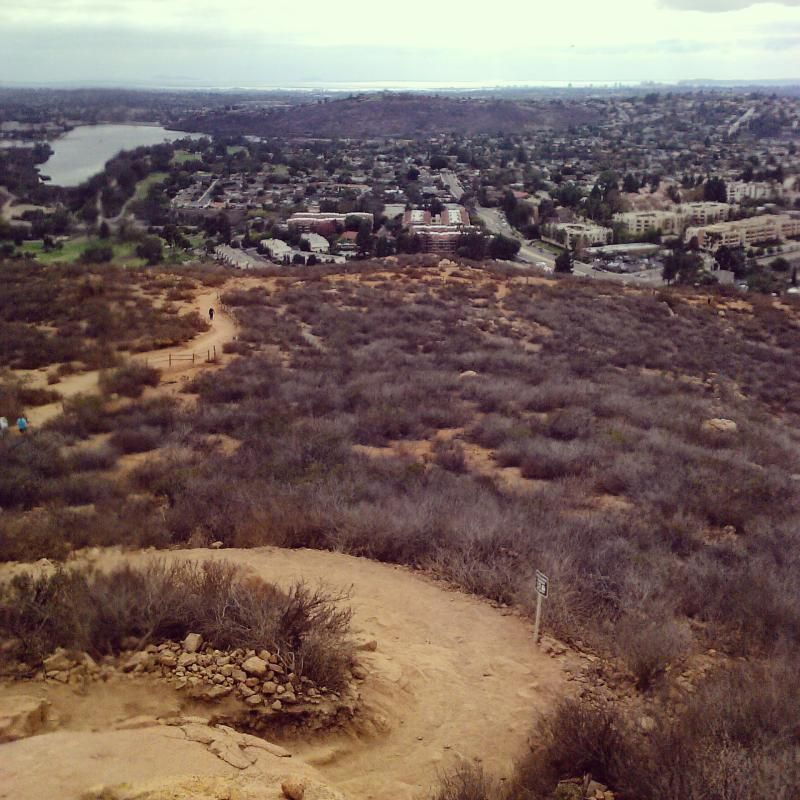
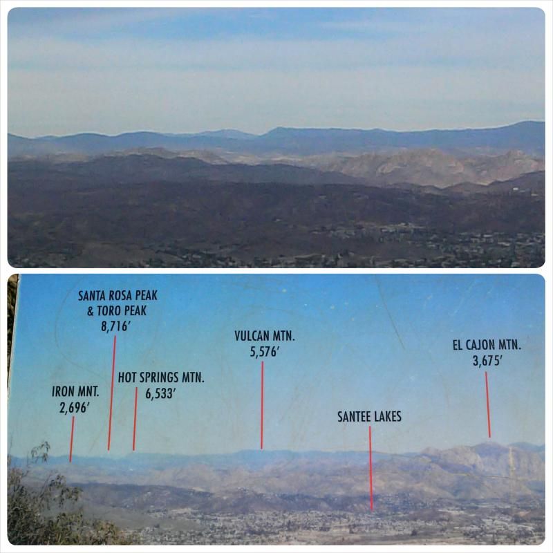
Cowles Mountain with its outstanding views at 1,591’ above sea level, is arguably the most popular (and populated) trail in San Diego County. Its summit is the highest point in the city of San Diego. With its 950' vertical ascent, it has become a fitness playground for young and old alike. Its popularity is regularly substantiated by the high number of hikers, joggers, and runners that can be found on the trail at just about any time. The mountain is named after George A. Cowles, an early ranching pioneer in San Diego County.

This trail is also a favorite of families, especially those with young children who are introducing them to hiking. It’s rare that you’ll hike Cowles Mountain trail without seeing children with their favorite adults - some in backpack carriers, some running and many “huffing and puffing”. But most gratifying are the huge smiles on all involved!


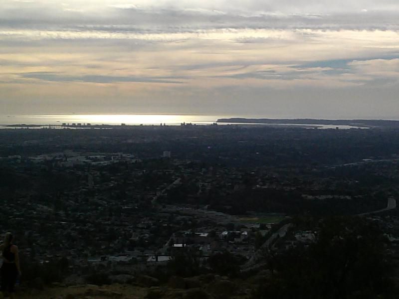
Here's a suggestion for romantic adventurist who don't mind descending by flashlight. Catch the sunset from the summit when the moon is full. After the sun slides into the pacific, turn around and enjoy the moonrise to the East over El Cajon valley.
To get there from San Diego:
From I-15, take Friars Rd. East which becomes Mission Gorge Rd., 5.0 miles east. Pass Jackson Drive and the Mission Trails Regional Park turnoff. Continue up Mission Gorge Rd. to a right turn on Golfcrest (the first traffic light past Jackson Drive). Follow Golfcrest one mile south to the trail head on the left side of Golfcrest at Navajo. On weekends the parking lot is usually full, however curbside parking is permitted on Golfcrest.
No comments:
Post a Comment