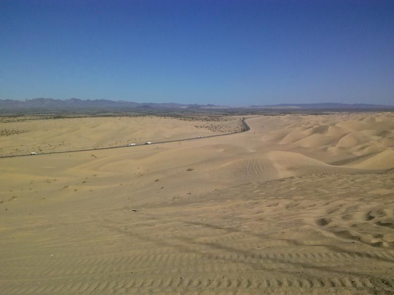
“We are torn between a nostalgia for the familiar and an urge for the foreign and strange. As often as not, we are homesick most for the places we have never known.” — Carson McCullers
When the weather begins cooling down here in southern California, my wanderlust really starts kicking in. According to Merriam-Webster’s dictionary, wanderlust is a “strong longing for or impulse toward wandering.” And remember what J. J. R. Tolkien said: “Not all who wander are lost.”
There are countless reasons why I hike, off road, and just enjoy the activities that get me into the back country. I believe that it's essential for everyone that we never stop exploring. I hope you enjoy the quotations I've added from those who can explain this wanderlust far more eloquently than I.
I've been wanting to take on a trail that descends into one of the loneliest reaches of Anza-Borrego Desert State Park, a quiet enclosed valley by the name of Canebrake; from McCain Valley and Pepperwood Trail. Here's a brief description by the late Jerry Schad, from his book, Afoot & Afield San Diego County:
"On a cool day, this is one of the most delightful downhill hikes in the county. Except for a 2-mile scramble down the eroded and overgrown remnants of the Pepperwood Trail in Pepperwood Canyon, little effort is required to keep moving. Below Pepperwood Canyon, the route traverses the lonely reaches of Canebrake Valley and the Inner Pasture; these two form a large, U-shaped alluvial plain surrounded by the stark, boulder-strewn slopes of the Tierra Blanca and Sawtooth mountains. Much of this area belongs to the BLM’s Sawtooth Wilderness. The riparian area along the upper part of Pepperwood Canyon is a worthy enough destination itself, as a trail of footprints attests. Traffic down the lower end of the Pepperwood Trail into Canebrake Valley and the Inner Pasture is practically nil, though."
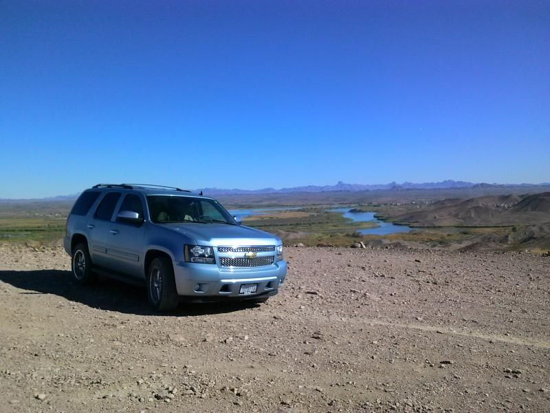
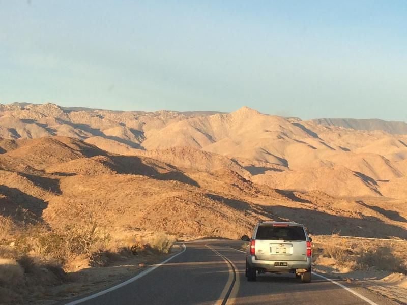
After meeting up with my friends Steve and Tammy, along with their friend Jenny, we headed east along Interstate 8 to where we would have to drop off one vehicle down in the desert off Highway S2, and then head back west on the I-8 again to McCain Valley Road, where we would park the other vehicle at Cottonwood Campground. Tammy got a few shots of my Tahoe as I lead the way.

(Photo by Steve & Tammy.)
Driving north on Highway S2. Sombrero Peak can be seen in the distance just above my Tahoe. I hiked to that peak back in 2012. Click HERE for that trip report.
(Photo by Steve & Tammy.)
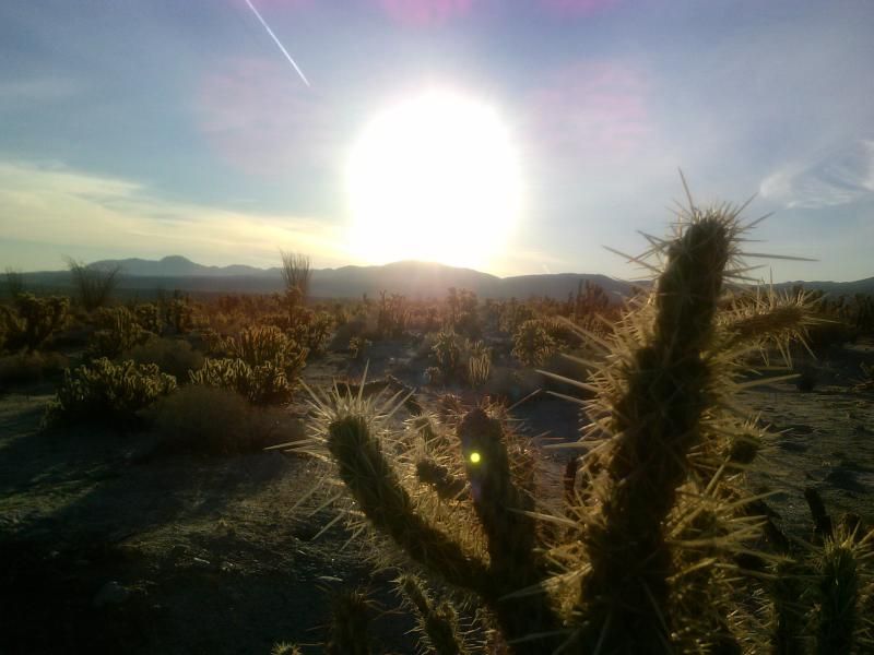
"Anyone who's ever tried to tangle with a teddy bear cholla knows there's a whole lot more bear than teddy to it." — Kevin Hearne
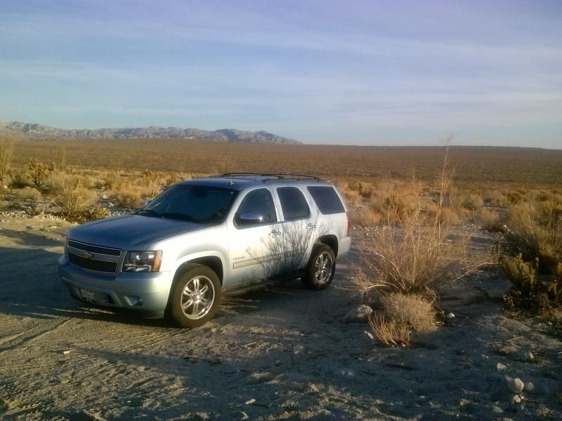
After consulting the "bible of San Diego hiking" we decided on taking an alternate exit out of Canebrake Valley via a rocky pass into Indian Valley's north fork. This would add about 2 more miles to our 14 mile hike. Since the Tahoe is only 2WD I didn't venture too far into Indian Gorge, where it would be waiting for us at the end of our journey.
In 1852, George McCain homesteaded and began grazing livestock in the valley which now bears his name. His family continues to ranch here today. During the 1860s and '70s, additional settlers arrived in the McCain Valley region due, in part, to the discovery of gold near Cuyamaca and Julian. In spite of a temporary flurry of mining activity, ranching continued to be the dominant force in the economy of the region for nearly 100 years.
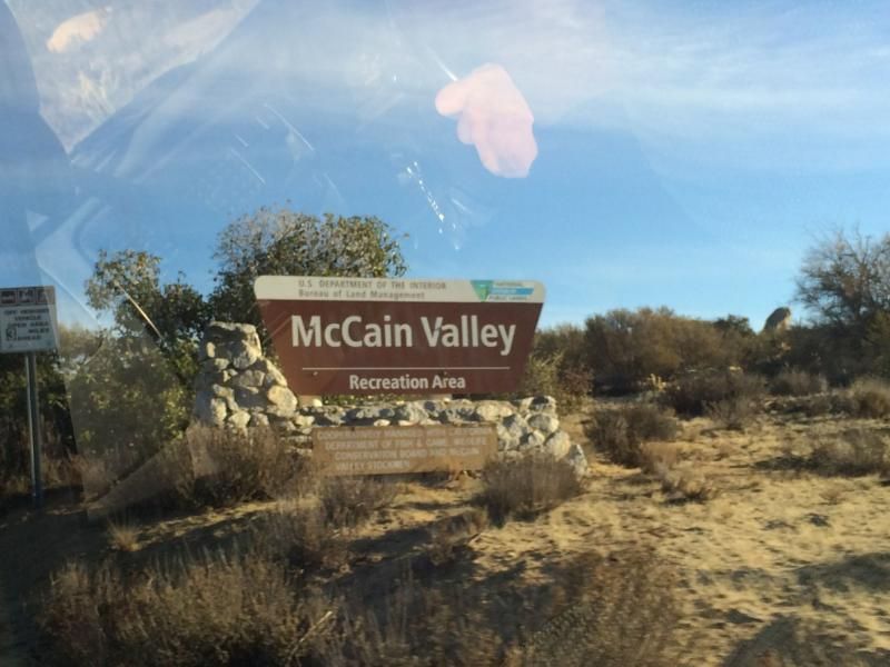
The trail head at Cottonwood Campground. Click HERE for the BLM site.

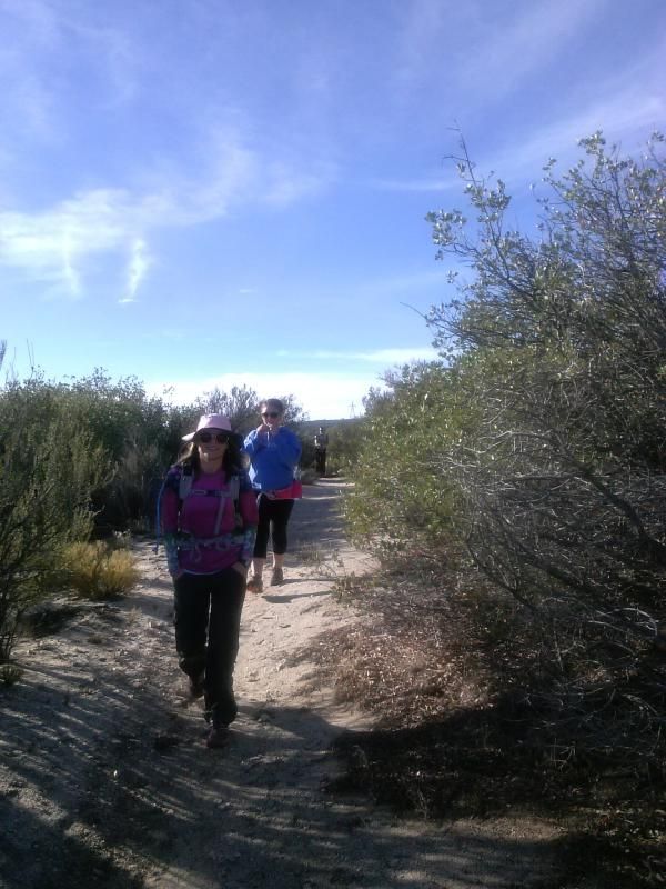
Leading the way through growths of chaparral, over the rolling McCain Valley plateau with Tammy, Jenny, and Steve following.
Mountain lion, coyote, and deer tracks in the sandy soil outnumber those of rubber-soled humans in this area.

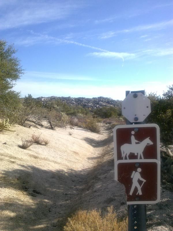
I guess this means we're still on the right track.
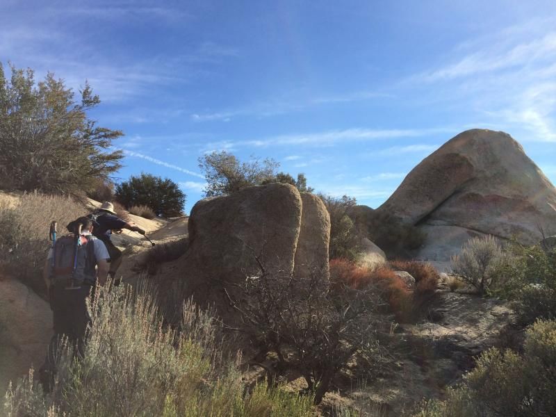
The route passes close to this abandoned homestead.
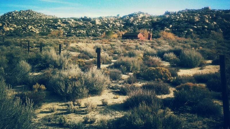
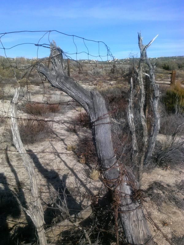
I always feel a bit of melancholy when walking abandoned roads; like these old dirt roads miss their motorized companions.
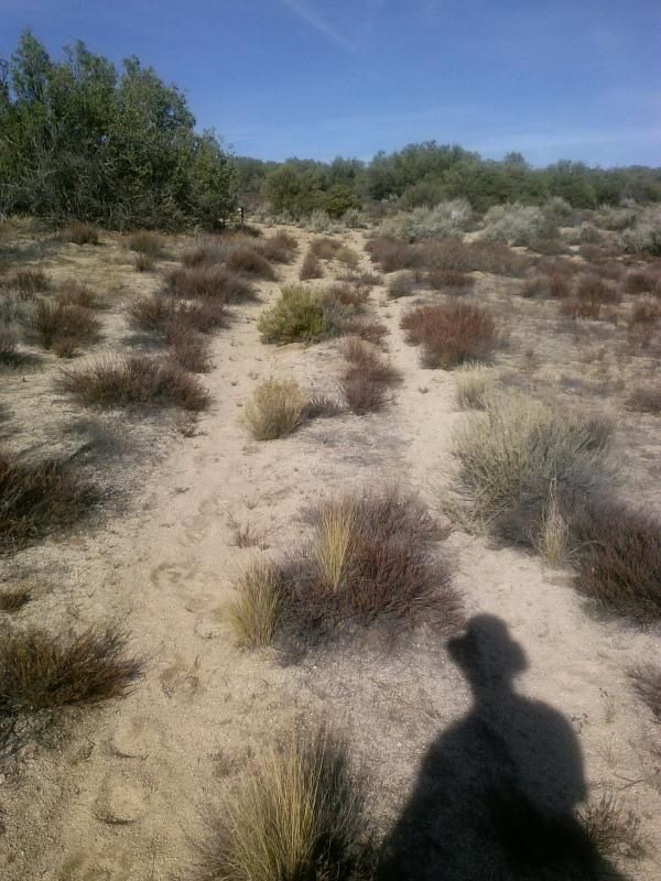
There's a fork in the trail with a set of barely legible signs. I made the mistake of veering west when I should have continued north. We didn't have to backtrack too far.

At this point we leave the McCain Valley Resource Conservation Area and enter Anza-Borrego Desert State Park.
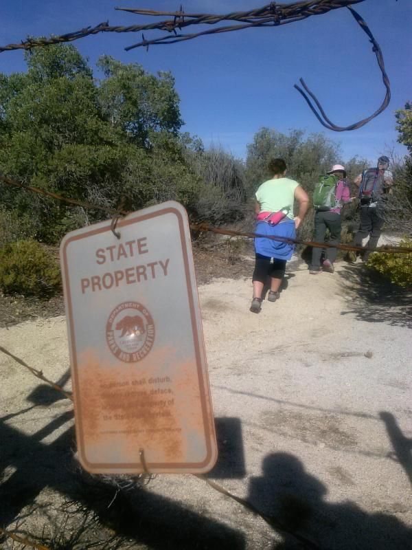
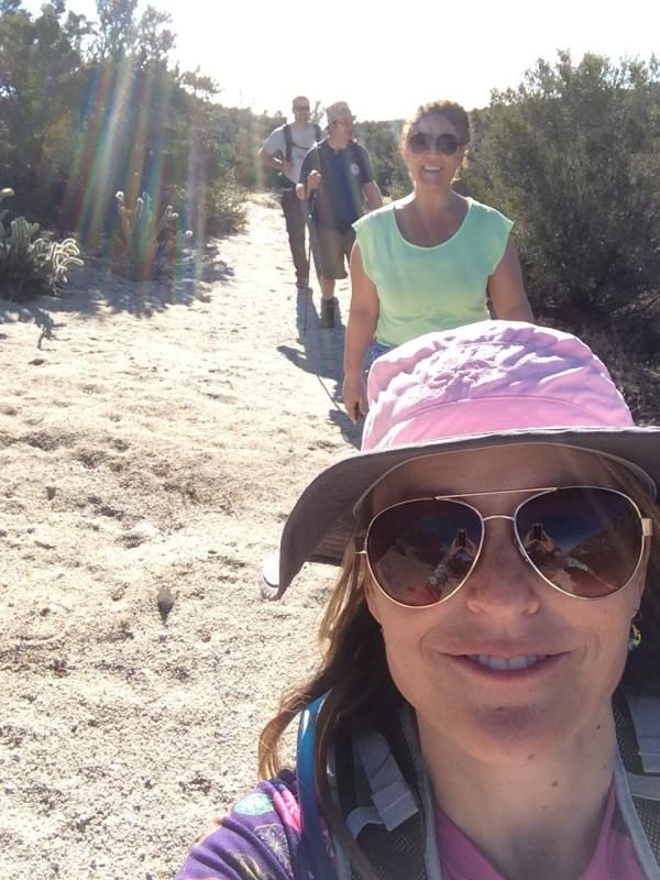
Trail selfie!
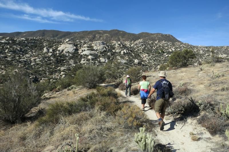
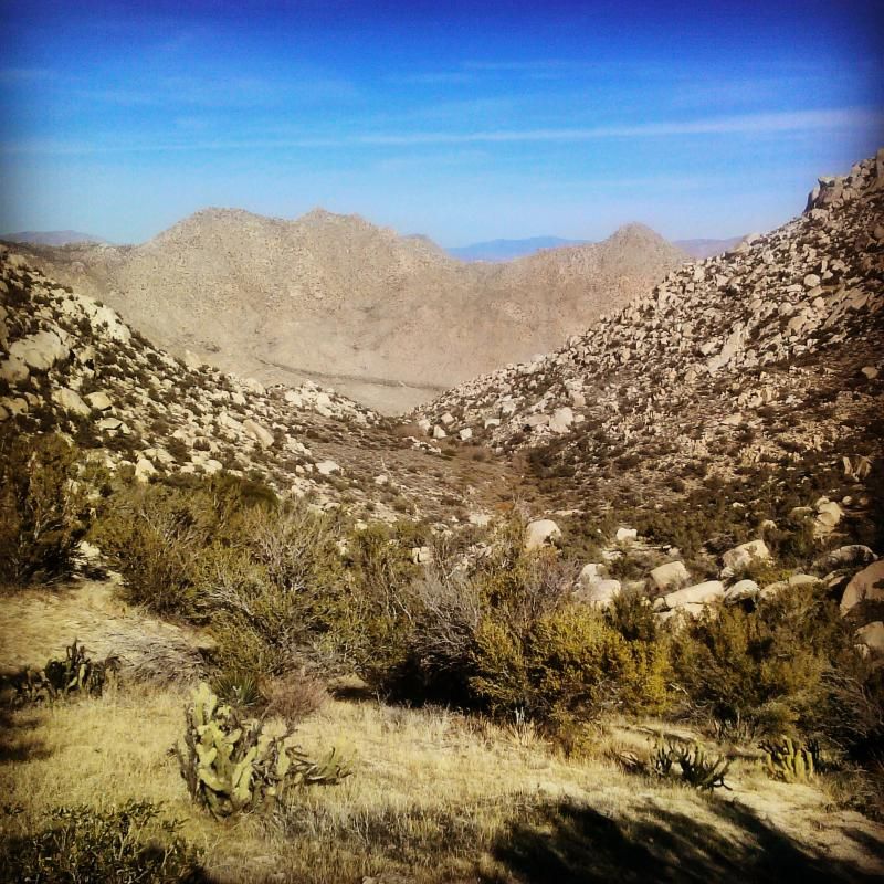
After a bit of elevation loss, the view ahead opens up to reveal Pepperwood Canyon and CaneBrake Valley beyond.
Looks like I got a little captain in me!
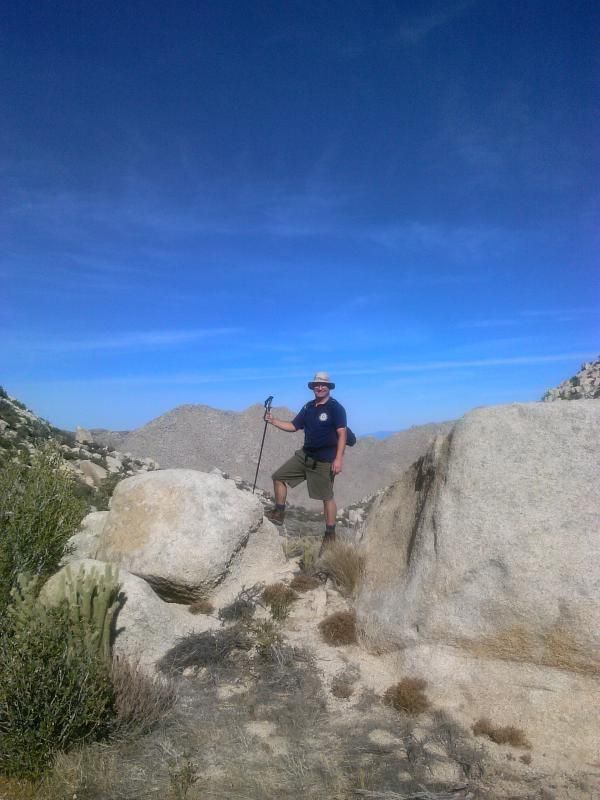
Starting the steep descent into Pepperwood Canyon.
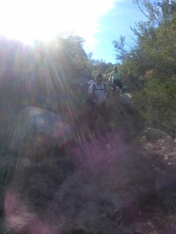
During wetter periods, a waterfall can be found just up the canyon from here.
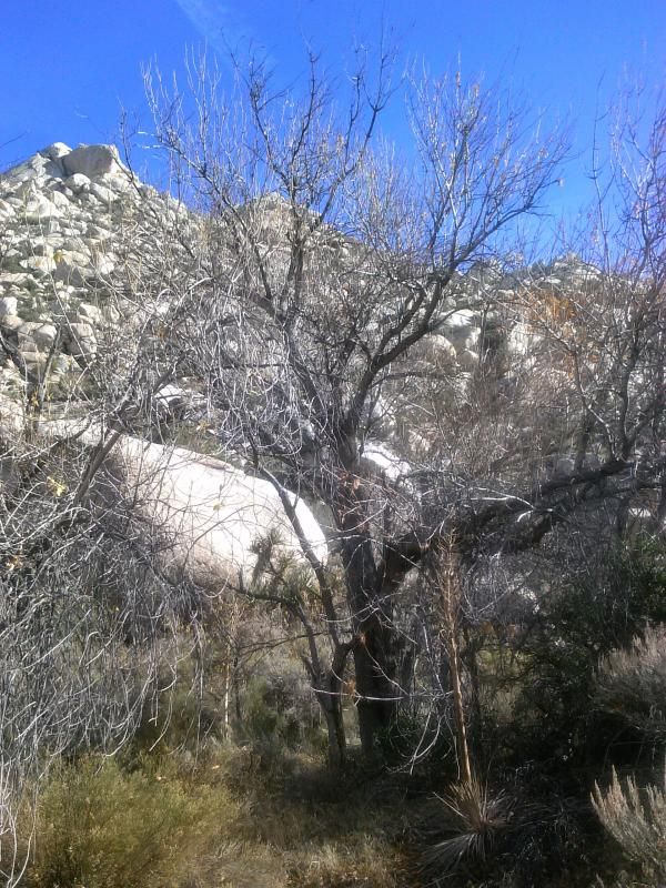
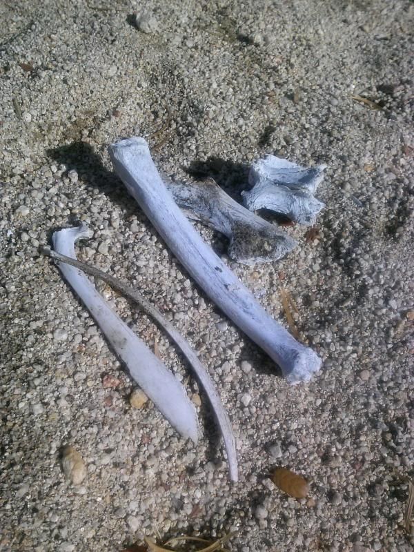
We find a small pile of bones at the canyon bottom on a stretch of flat sand. There's supposed to be a seasonal spring 200 yards downstream, but we opted to follow the trail down the steep walls of the canyon rather than bushwhack down the seemingly dry creek bed.
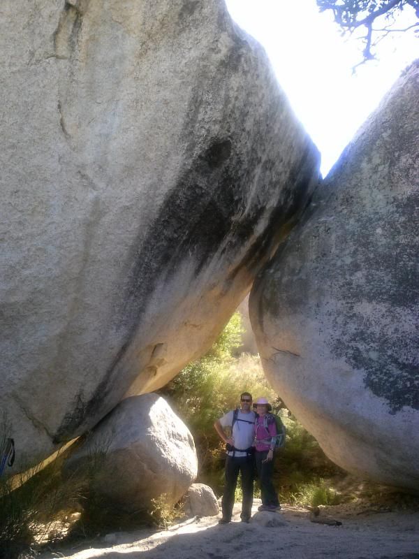
Steve and Tammy posing under a huge fire-blackened rock jumble that was apparently used as a campsite by undocumented immigrants.
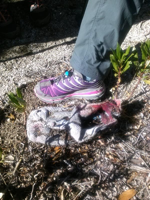
Discarded clothing and shoe covers.

Illegal immigrants and smugglers use these "shoes" to cover their tracks.
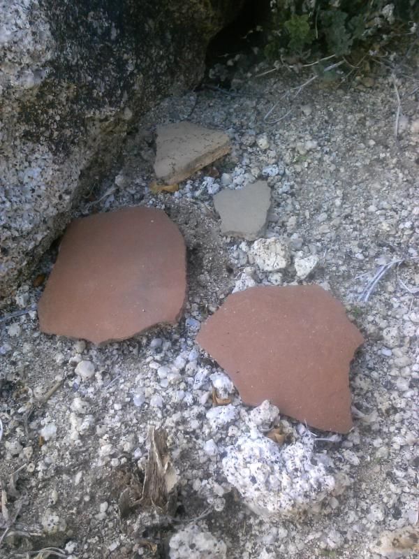
We see our first pottery shards.

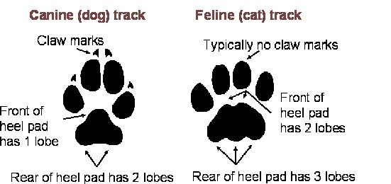
Fresh mountain lion tracks!

Here's how you identify a feline track from a canine one.
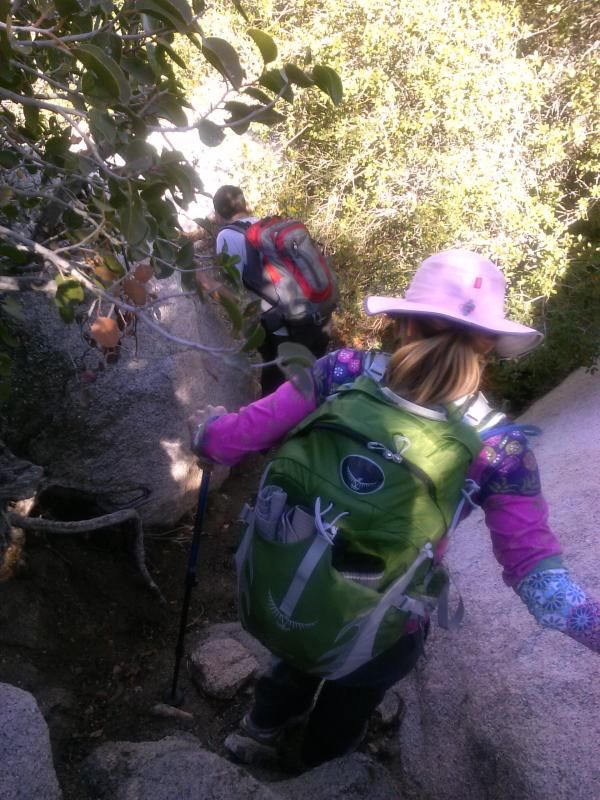
The trail is very steep and narrow in places.
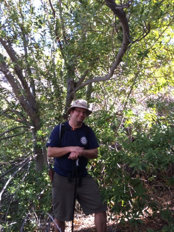
The area around Pepperwood Spring is dotted with scores of fragrant pepperwood (a.k.a. California bay) trees. These small trees are commonplace in the coast ranges of central and Northern California, and they exist in isolated colonies surrounding certain springs and streams in San Diego County. When crushed and sniffed, pepperwood leaves give off an odor that is pleasant but, if overdone, the cause of a headache.
At the bottom of the creek looking downstream. Next time I traverse this hike, I'd like to stick to the creek bottom as much as possible, since that's where one should encounter numerous signs of Native American occupation.
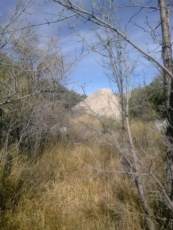
As we cross over to the east side of the canyon, we see more fire-blackened rocks below.

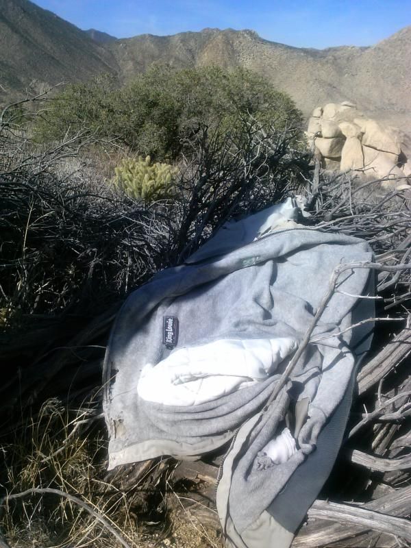
More discarded clothing.
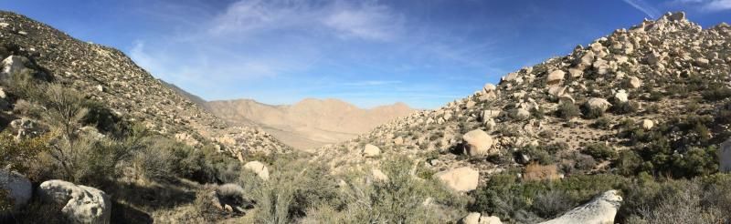
(Photo by Steve & Tammy.)
Getting closer to the valley below.
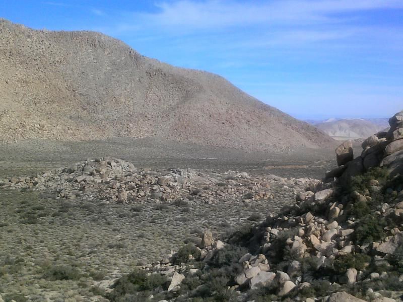
“In every walk with nature one receives far more than he seeks.” -John Muir
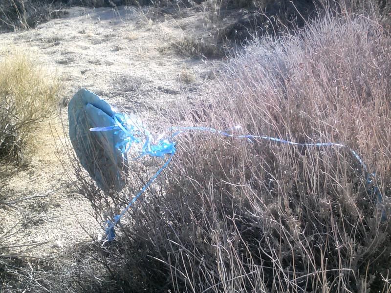
Mylar balloon count for this trip: 2
(Photo by Steve & Tammy.)
More pottery shards. Though Native Americans have lived in theisregion for thousands of years, we are most familiar today with the Kumeyaay or Southern Diegueno Indians. These people hunted game and gathered plant resources here until the early 1900's. Each spring they moved from winter settlements at lower elevations into the coastal mountains, following wildlife and making use of acorns, seeds, and other plant materials as they became available. In the fall they returned to hunting and gathering areas in the inland valleys to the west or to the desert in the east.
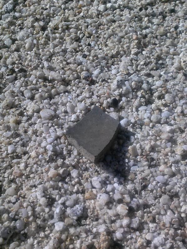

Coming upon some more recent historic "artifacts" in the valley.
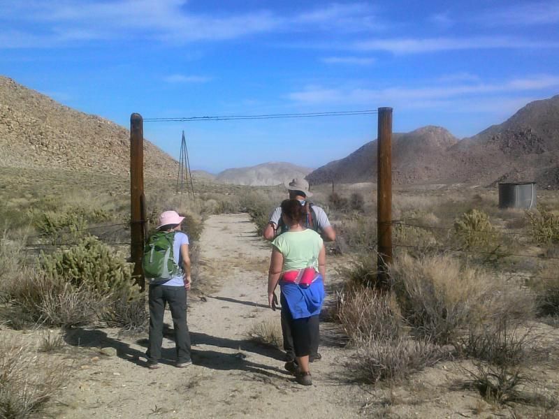
There's an old water tank and trough in the wash along with a windmill that appears to have pumped water into them, but it is now inoperable with it's pieces strewn about the ground.

Of course I had to climb it!

(Photo by Steve & Tammy.)
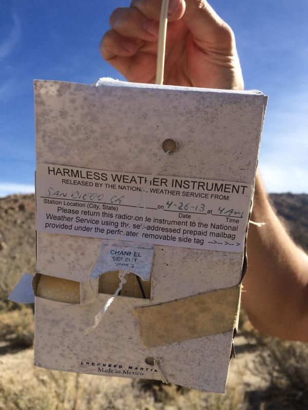
As our hike across the valley continued, Steve spotted something that turned out to be a piece of weather equipment called a radiosonde – a battery-powered instrument that is suspended below a weather balloon sent aloft by the National Oceanic and Atmospheric Administration.
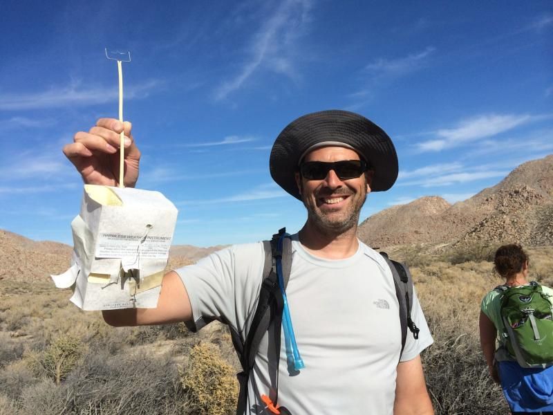
(Photo by Steve & Tammy.)
A closer look. For more information on what you should do when finding these, click HERE.
(Photo by Steve & Tammy.)
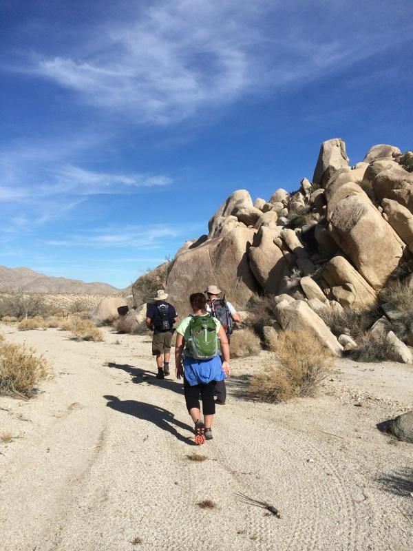
This must have been a harsh environment for cattle to graze.
“The desert and the ocean are realms of desolation on the surface. The desert is a place of bones, where the innards are turned out, to desiccate into dust. Both worlds are deceptive, dangerous. Both, seething with hidden life.” ― Vera Nazarian, The Perpetual Calendar of Inspiration

(Photo by Steve & Tammy.)
Reaching the east side of Canebrake, we veer south towards a rocky pass that will take us up and over into the north fork of Indian Valley.
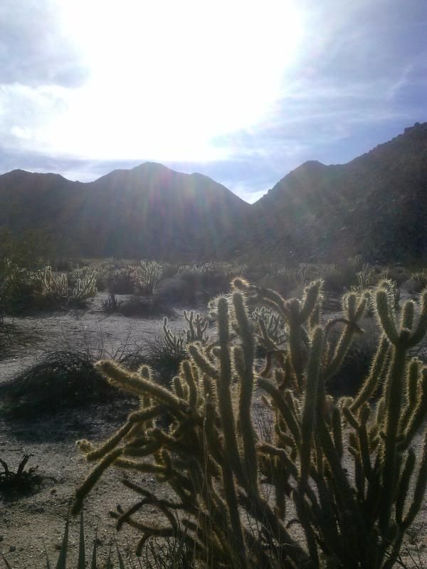
Looking back towards Canebrake Wash and Inner Pasture beyond.
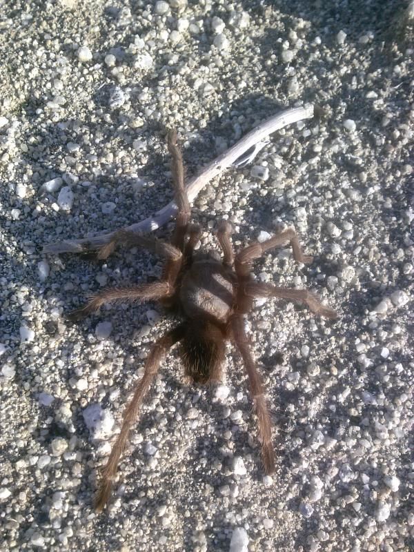
Along the way, I ran into a local desert dweller.
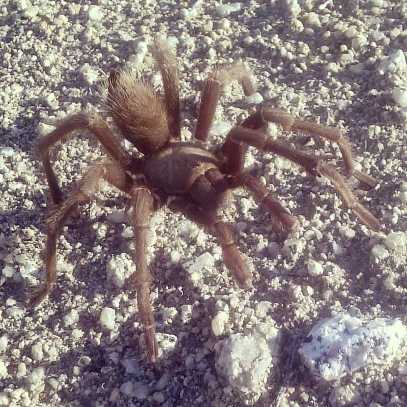
Until next time, my eight legged friend.
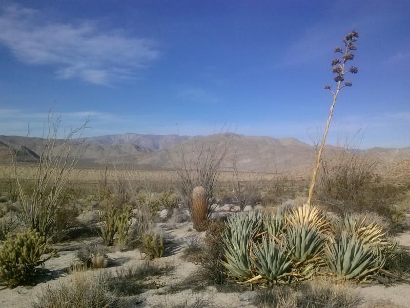
At the top of the pass we find even more pottery shards.

If you find pieces of pottery or other remains of Indian life in this area, PLEASE DO NOT COLLECT THEM! Instead, leave them where they are so others can discover and appreciate these cultural artifacts. Removal of cultural resources is prohibited by federal law and subject to fines or imprisonment.
Views north from the pass.
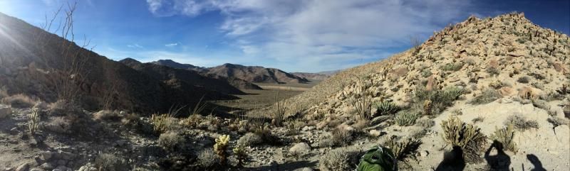
(Photo by Steve & Tammy.)
Looking south into Indian Valley.
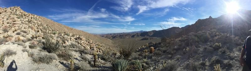
(Photo by Steve & Tammy.)
Are we there yet? Taking a break at the bottom of the pass into Indian Valley.
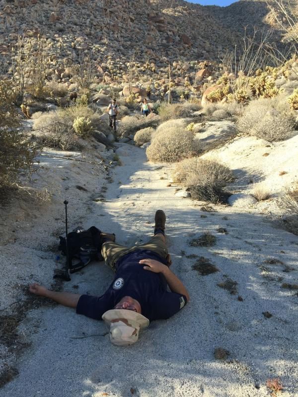
(Photo by Steve & Tammy.)
The sun is getting low as we make our way out of the valley and into Indian Gorge to where my Tahoe awaits.
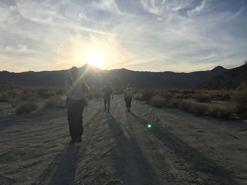
(Photo by Steve & Tammy.)
On our way out Indian Gorge we came across numerous butterflies just hanging out in the brush.

Photo of Steve taking a photo of the butterflies.
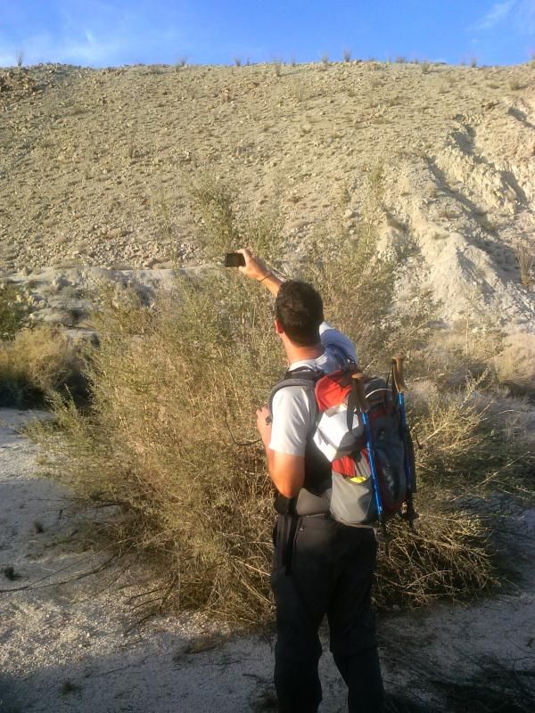
Passing the entrance to Torote Canyon. Jerry Schad's book describes a 4 mile round trip hike into this canyon, which features elephant trees and secluded valleys.

Nearing the end of our journey.
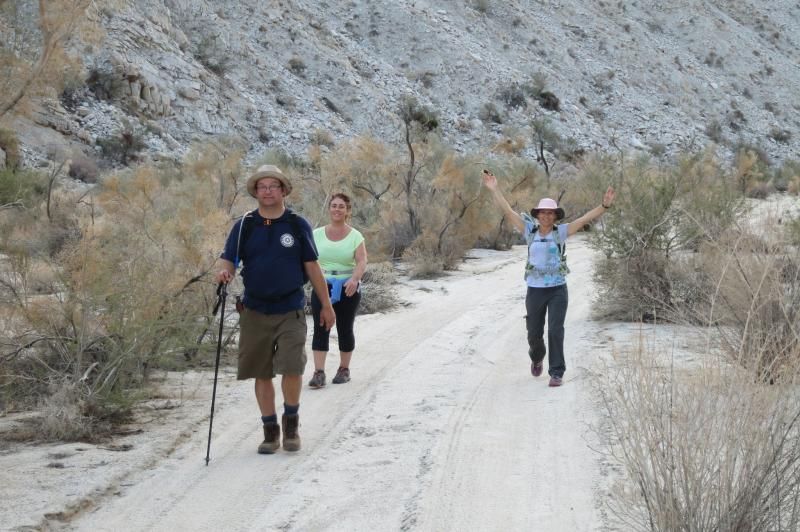
(Photo by Steve & Tammy.)
Eventually, after about 16 miles, the gorge opens up and we reach my Tahoe were I had parked earlier in the day. After loading our packs in the back I shuttle everyone back up into McCain Valley where Steve had parked his 4runner at Cottonwood Campground.

“Returning home is the most difficult part of long-distance hiking; You have grown outside the puzzle and your piece no longer fits.” -Cindy Ross
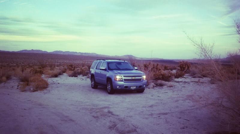
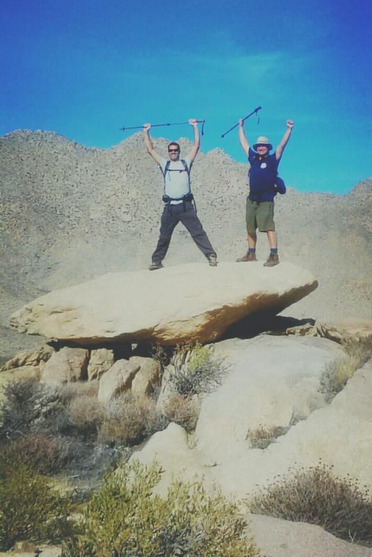
This was one of the longest and enjoyable hikes I've been on. A big thanks to Steve, Tammy, and Jenny for joining me on this traverse through some of the most wild, beautiful, serene, and rugged lands in San Diego County.
Elevation gain/loss and distance.
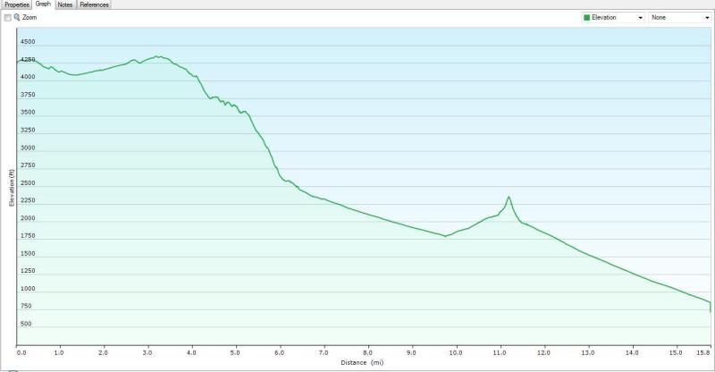
Map of the area we hiked.

Check out these links for more information on this area:
Sawtooth Mountains Wilderness - BLM Site
Directions:
SOUTH END - Exit Interstate 8 an Highway 94/Boulevard exit. Go 0.5 miles south, then 1.9 miles east on Old Highway 80 to McCain Valley Road on the left. Go north, passing under Interstate 8 and continue north and northwest for 12.7 miles to Cottonwood Campground.
NORTH END - The endpoint of this hike is at mile marker 41 on Highway S2, 3 miles southeast of Agua Caliente Springs. Or like us, you can exit through Indian Gorge further south.