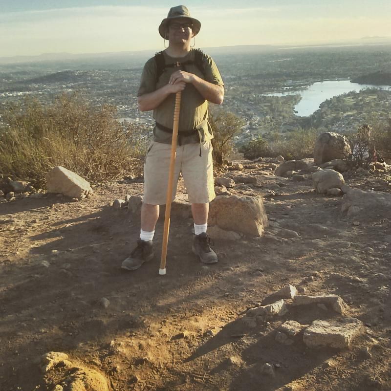
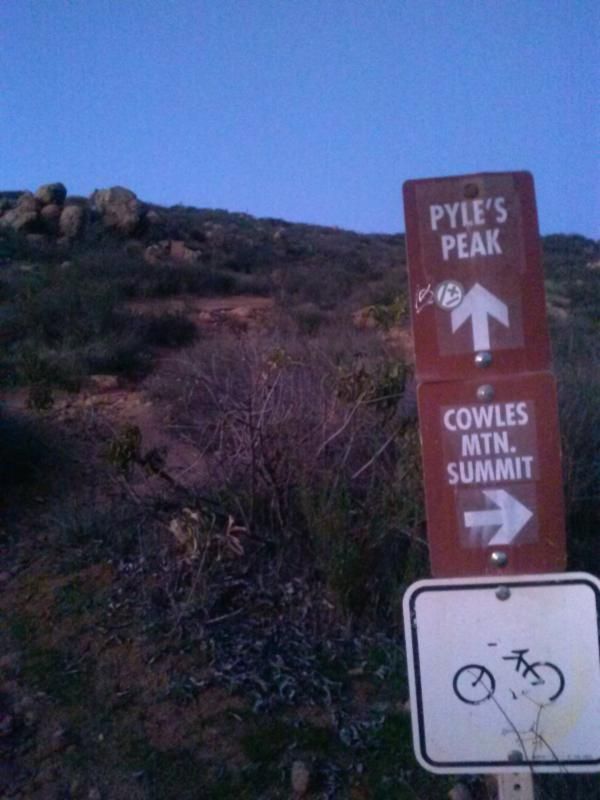
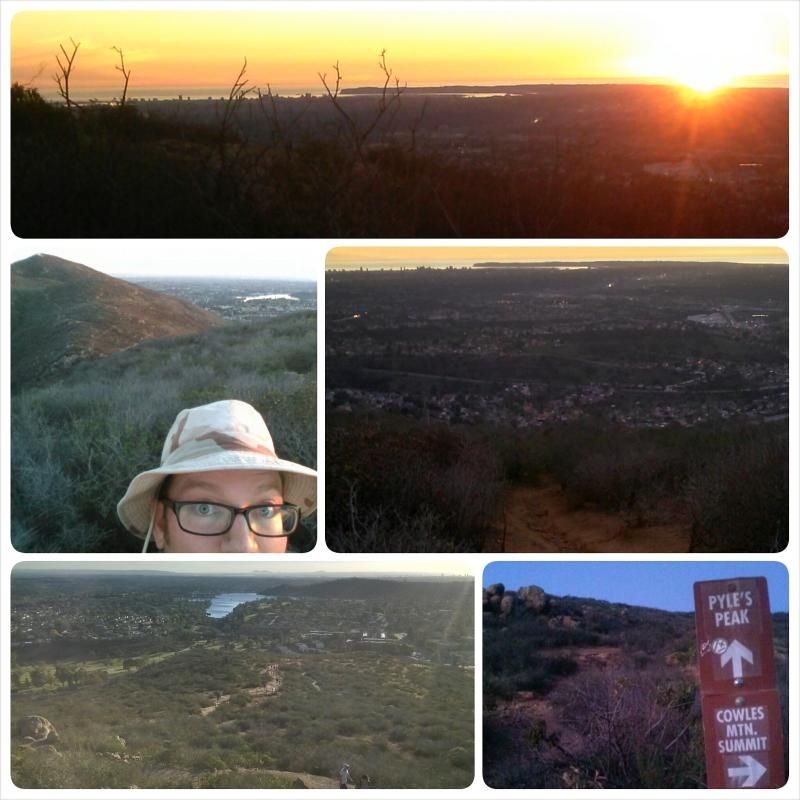
At Cowles Mountain summit.
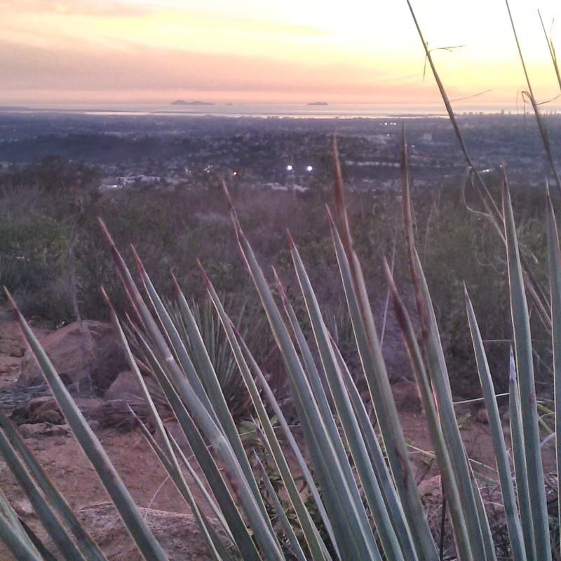
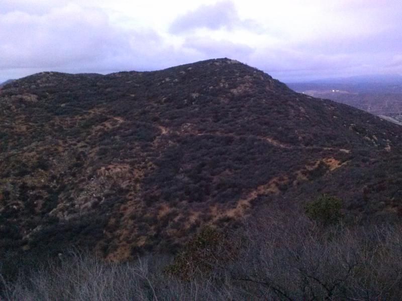
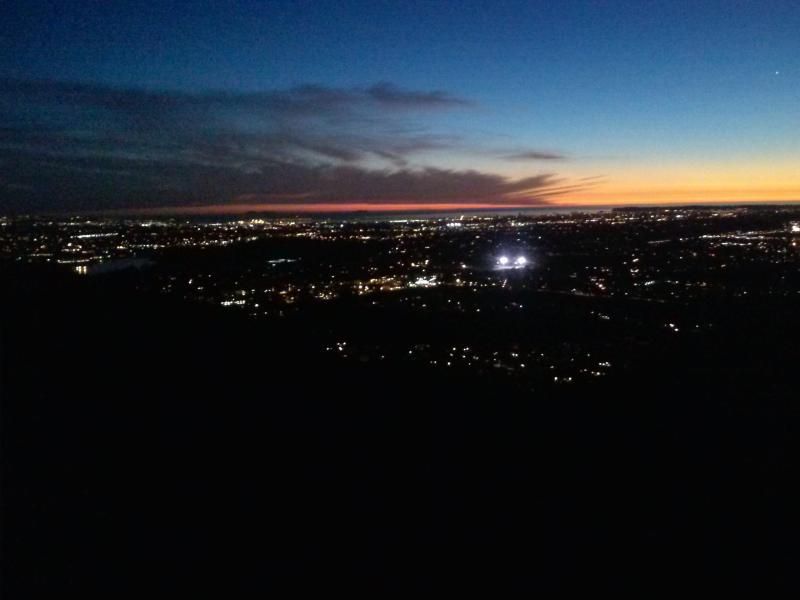
This long and tiring out-and-back trek has some fun and twisty trails. But first, I had to climb Cowles Mountain; at 1,591 feet, its the the highest elevation within the city limits of San Diego. (Pyles Peak summit is 212 feet below Cowles Mountain at 1,379 ft.) There must have been hundreds of people on the trail to Cowles Mountain summit. I'm sure the New Year's resolution crowd will thin out soon. But once I started off toward Pyles Peak, I must have left about 99 percent of the hiker traffic behind; passing only four other people. The views are serene and filled with the green colors of the Chapparal brush dotting the surrounding mountainside, something you won't experience climbing up the dried-out and relatively bland-looking trails of Cowles. Pyles in contrast has the special feel of a path less traveled. Just the way I like it.
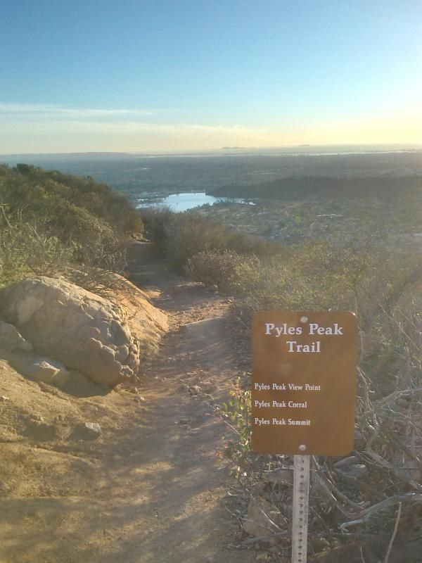
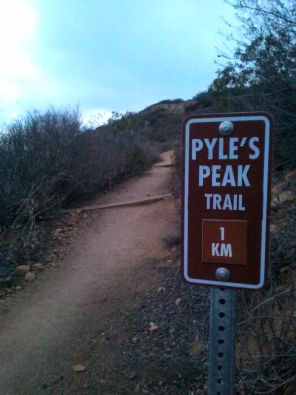
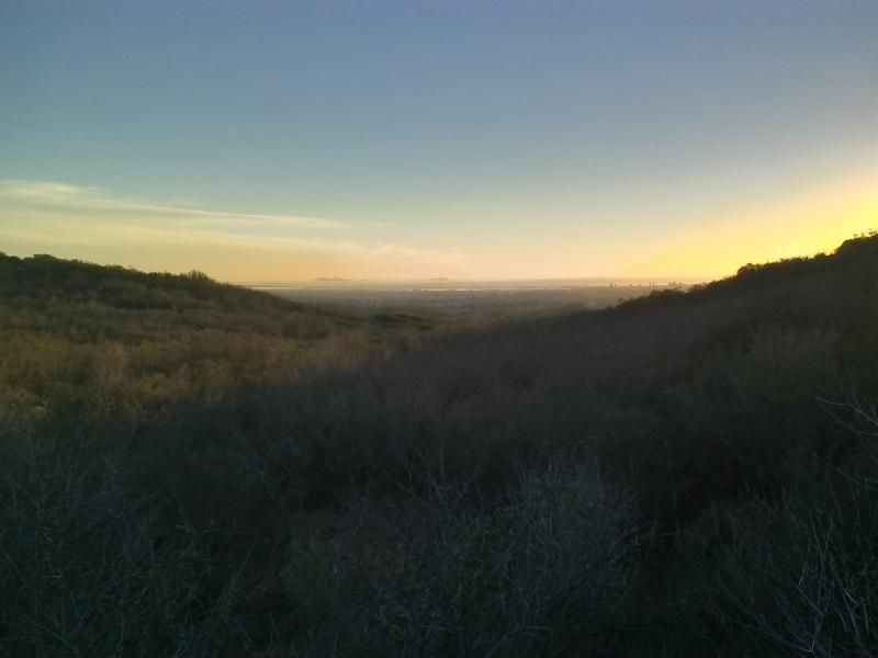
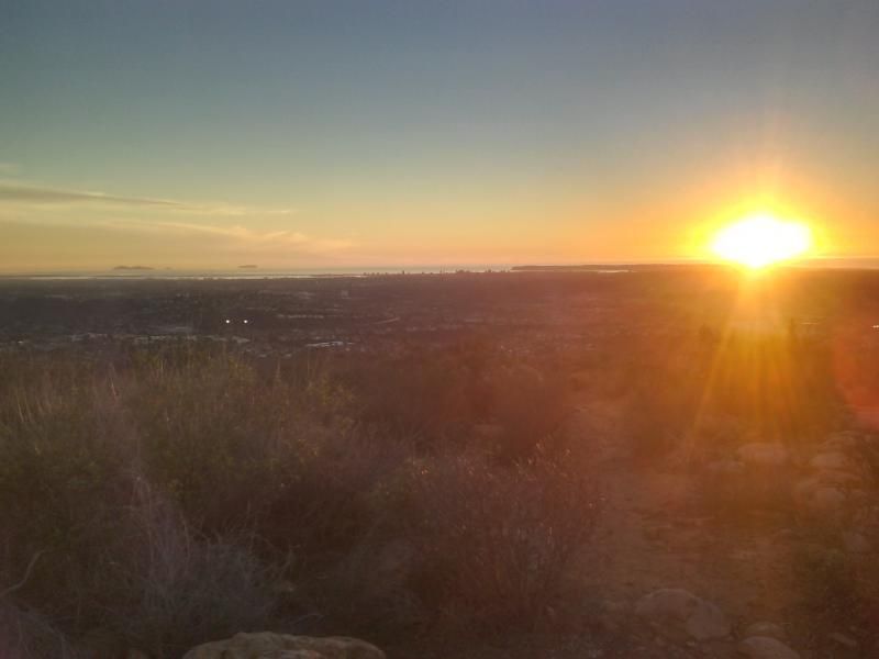
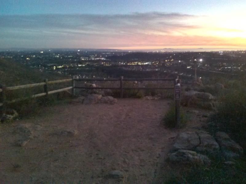
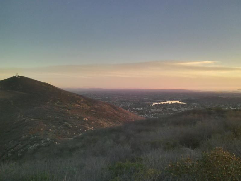
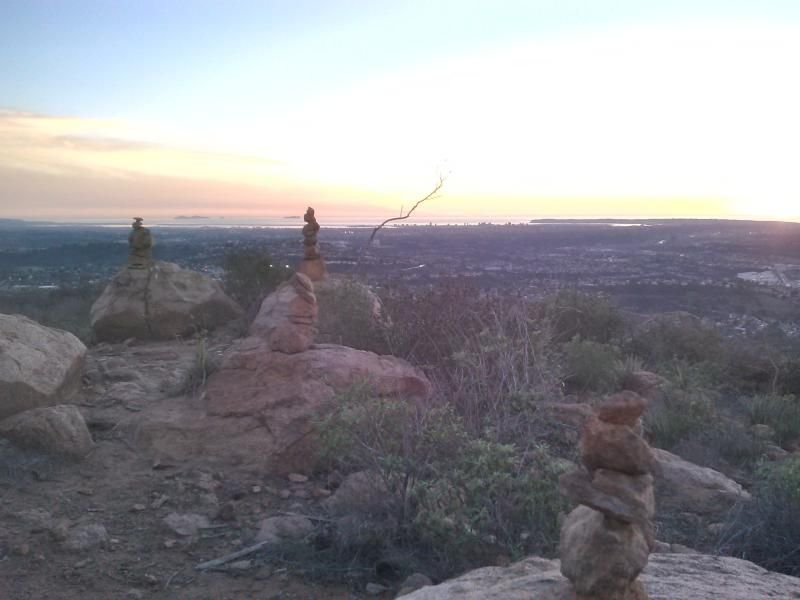
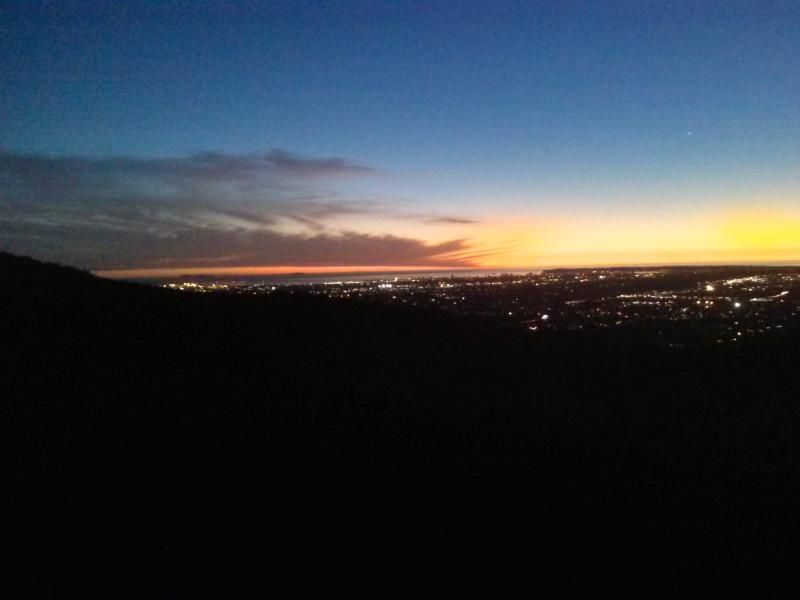
It is from here the real workout begins. Backtrack 50 feet from the overlook to the sign and the trail which follows nearly a straight line east up a steep climb to Pyles Peak's 1,379 foot summit. While there, enjoy outstanding views of Mexico to the south, Coronado, Point Loma, and downtown to the west, Palomar and beyond to the north, and Cuyamaca and El Cajon Mountains to the east. After enjoying the view be careful going back down the steep trail.
From Interstate 8 - Take 8 to the College Avenue exit. Proceed north on College Avenue 1.0 miles to Navajo Road. Turn right and proceed on Navajo Road 1.9 miles to Golfcrest Drive. Turn left on Golfcrest Drive to enter parking lot.
From Route 52 - Take 52 to the Mast Blvd. exit in Santee. Driving east, turn left onto Mast Blvd., go under the freeway to the first traffic signal (West Hills Parkway) and turn right. Driving west, turn right onto Mast Blvd. and right onto West Hills Parkway. Take West Hills Parkway to Mission Gorge Road and turn right. Proceed down Mission Gorge Road 1.9 miles to Golfcrest Drive. Turn left onto Golfcrest Drive and proceed to the top of the hill. The staging area is on the left at the intersection of Navajo Road and Golfcrest Drive.
From Route 125 - Take 125 north to Mission Gorge Road. Exit at Mission Gorge Road and make a left. Proceed down Mission Gorge Road 3.3 miles to Golfcrest Drive. Turn left onto Golfcrest Drive and proceed 1 mile to the top of the hill. The staging area is on the left at the intersection of Navajo Road and Golfcrest Drive.

Distance: 5.2 miles
Elevation Gain/Loss: 2000'/2000'
No comments:
Post a Comment