From the headwaters in the Cuyamaca Mountains, the Sweetwater River flows through San Diego's back country, pools up in Loveland Reservoir near Alpine, and flows again past El Cajon and Spring Valley where it pools once more in the Sweetwater Reservoir. Whatever water is left continues seven miles to the river's mouth at the southern end of San Diego Bay.
The rolling hills south and east of Sweetwater Reservoir, dotted with sage, pepper trees, and rare coastal varieties of cholla and barrel cactus, are still a somewhat untouched and wild part of San Diego county where hawks and ravens glide overhead. Around more than half of the reservoir, suburban sprawl creeps relentlessly. It was through this landscape that I would make my to the summit of Mother Miguel Mountain, at an elevation of 1,527 feet. This would be my 15th outing for my 52 Hike Challenge.
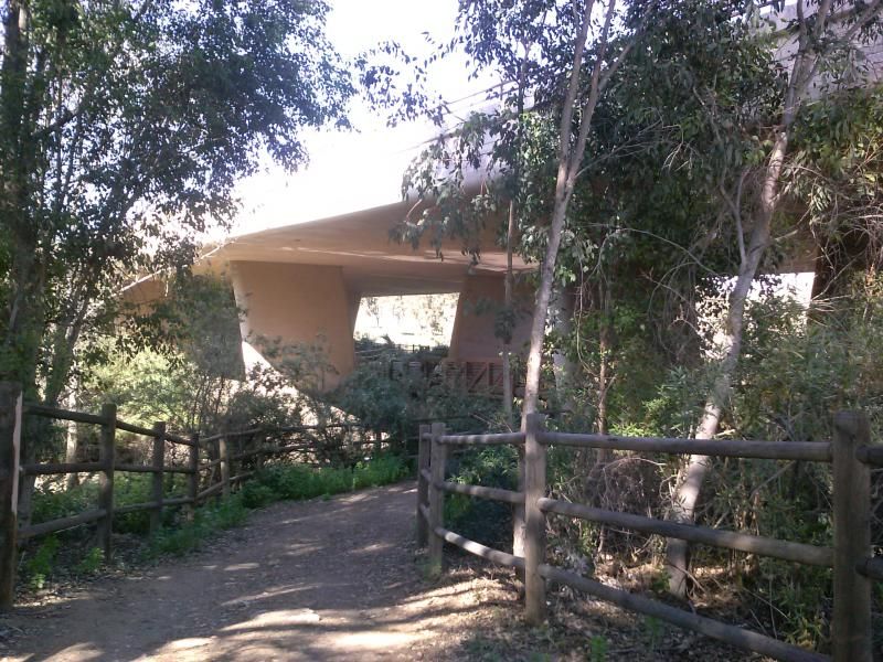
Crossing under the Bonita Road bridge.
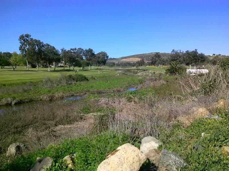
At first the trail heads east along the perimeter of the Bonita Golf Club course.
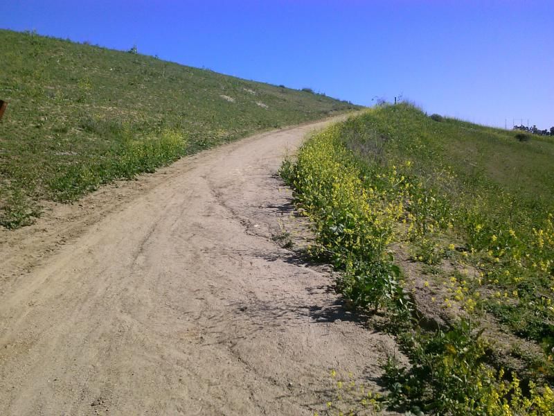
Zigzagging up a grassy hillside before crossing over State Route 125.
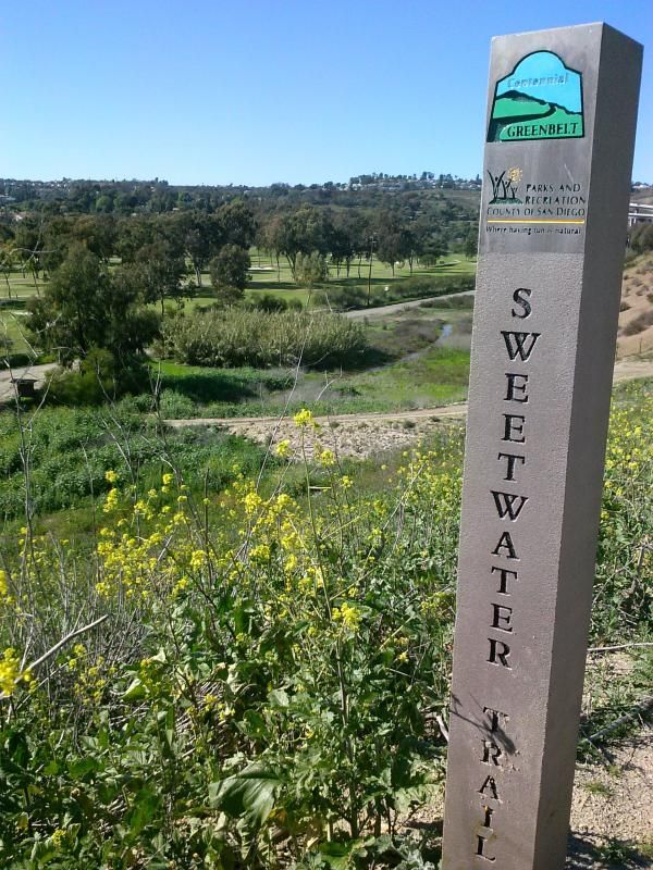
Looking back towards Bonita at one of the trail markers.
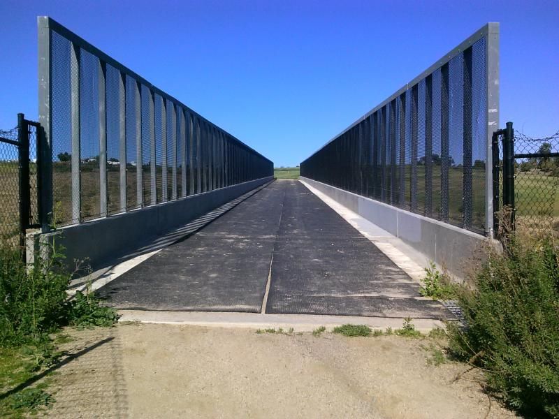
The Mary Augustine bridge crossing over the highway below. Mary Augustine spent years lobbying for and helping to build miles of horse and hiking trails throughout Bonita Valley. When public officials demanded that developers of the South Bay Expressway build an equestrian bridge to link the existing trails over State Route 125, they knew exactly whom to honor.

There's a bit of pavement to cross at the Sweetwater Summit Regional Park.
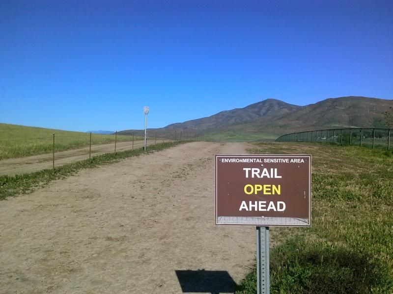
Getting back onto the trail, I pass a fishing access area for the reservoir and proceed across near-flat, grassy terrain.
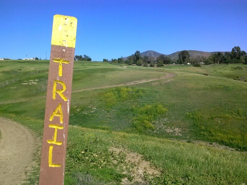
My hiking boot footprints overlapped the linear marks of mountain-bike tires and the inverted-U impressions of horseshoes. It appears all kinds of self-propelled travelers are welcome on the Sweetwater Trail along the southeast shore of the reservoir.

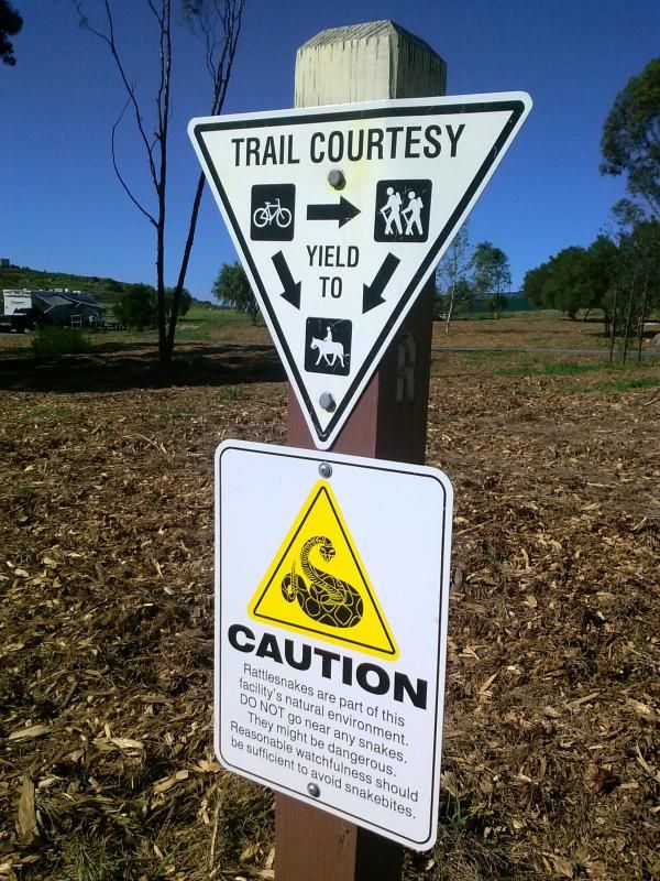
There were plenty of routes heading off into the closed areas.

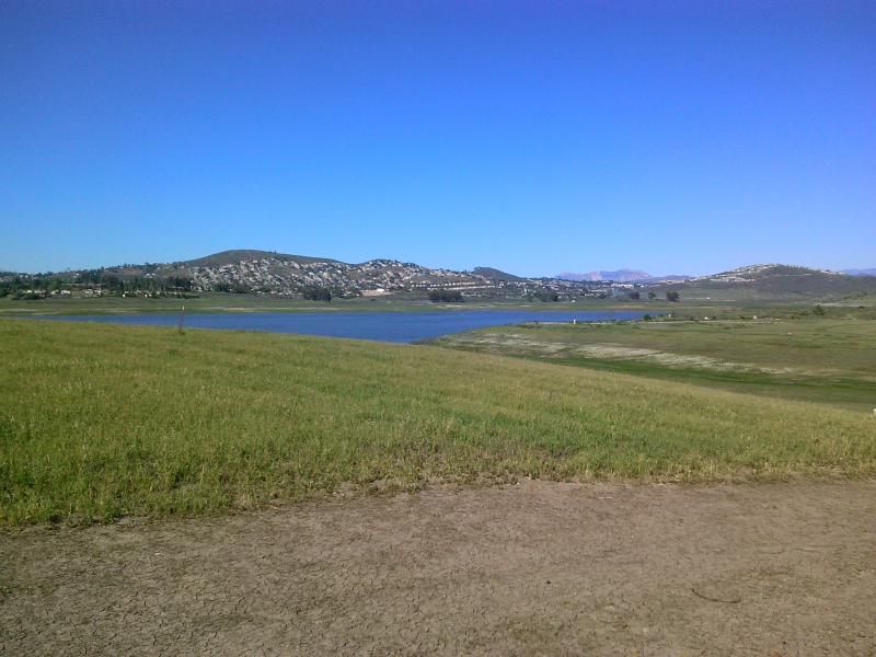
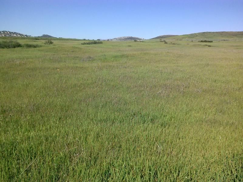
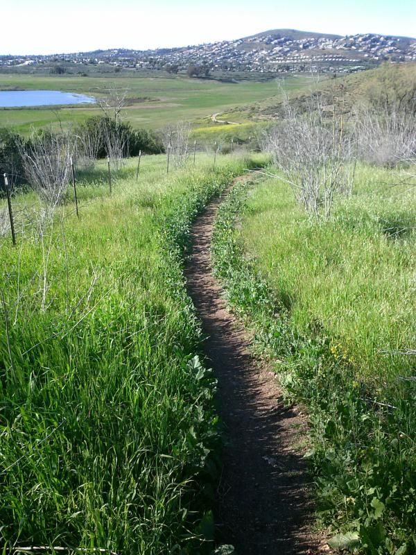
The trail meanders over rolling grasslands, staying well back from the shoreline of the reservoir.

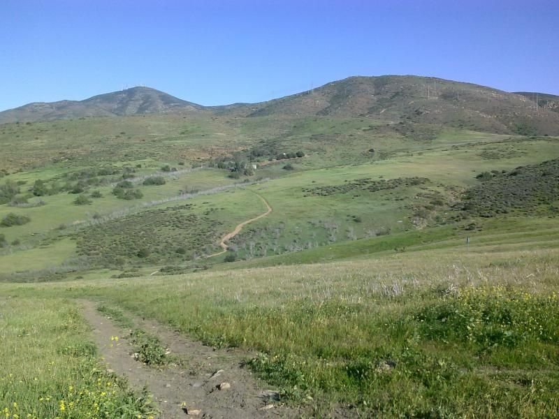
Soon the route veers sharply right and begins a series of relentless and rather severe ups and downs. To the left ahead rises the massive, triangular bulk of San Miguel Mountain (another upcoming hike), its summit bewhiskered by several spiky radio and TV broadcast antennas. My destination atop Mother Miguel can be seen to the right.
Along the way I check out some ruins of an old long-ago abandoned building resting on the hillside above the lake.
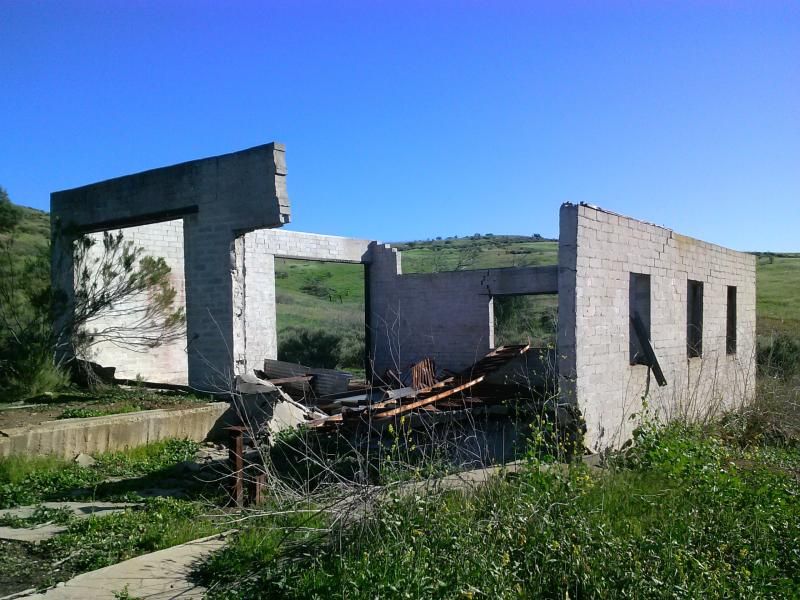
Not a bad view from these windows.

Continuing on, the trail becomes a narrow path that descends again before going up a few more switchbacks and past a grove of pepper trees along a hillside.
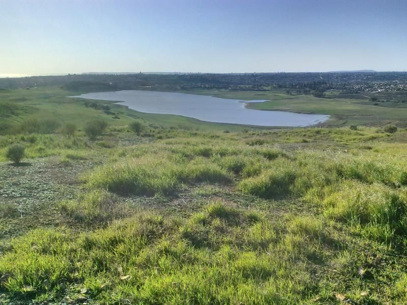
I eventually make my way up and past the flat top of a prominent knoll, where a picnic table and shade ramada stands, offering a great view of the lake and much of the South Bay area.
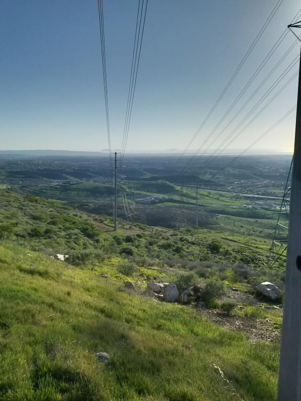
After a bit more elevation gain I come to a steep service road for the power lines. After checking the map on my phone, it appears to be the best way to the summit.

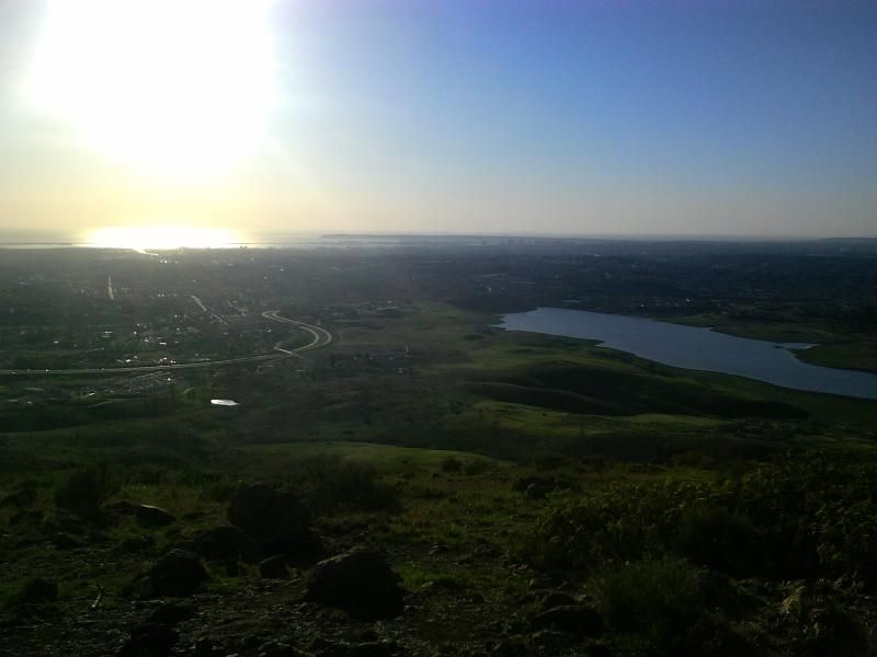
Looking south under the power lines towards Mexico and the Pacific Ocean. After climbing a bit further up the loose road I come across a narrow footpath that zigzags the last few hundred feet to the summit.
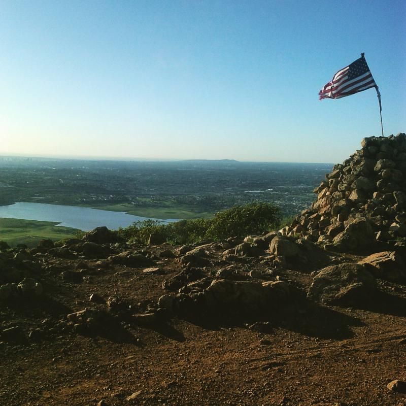
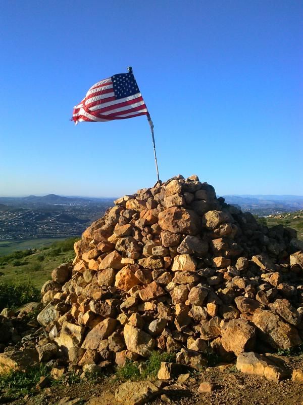
The flag and rock house at the summit of Mother Miguel Mountain.
After taking in the views for a bit it was time to start my descent.

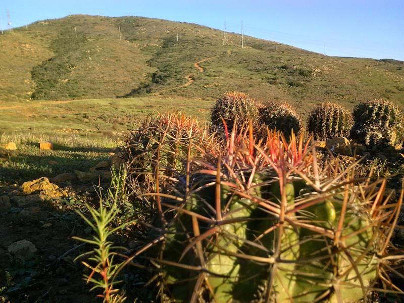
At the bottom of the service road I come across some type of coastal barrel cactus.
I decide to take a different route down the mountain that I hoped reconnected back into the Sweetwater Trail but soon find myself blocked by private property fencing. I manage to find a way along the perimeter that eventually gets me to where I need to go. The sun sets by the time I get back to my Jeep, parked in a nearby residential area. I was tired and dusty, but happy to have explored another trail so close to home.
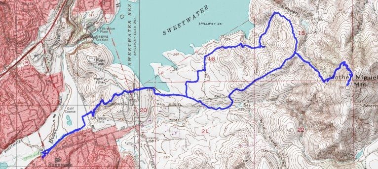
Overview of my 10.5 mile hike.
1 comment:
I enjoyed your post and wonderful photos. I frequently hike or bike around the open space and various trails in the general area you covered. I'm always amazed to find new paths all the time. When I hike up to Mother Miguel Mountain, I use the route leading up from San Miguel Community Park. On your map I noticed you took a different route to the Summit, one that leads up from the Sweetwater Valley. For some reason, I thought that path was closed off - maybe because I never see anyone coming or going. Next time I think I will try descending that way when I hike up to the Summit. Thanks for sharing!
Post a Comment