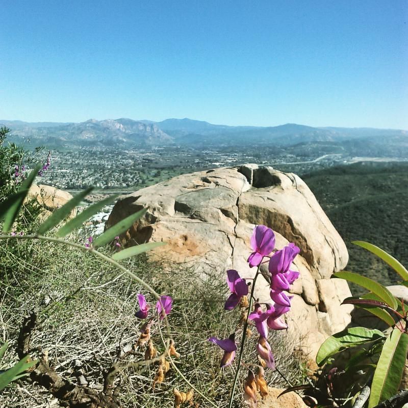
This hike is short and sweet. Kwaay Paay Peak’s vigorous hike, great views, and lack of crowds make it a welcome alternative to its Mission Trails neighbor, Cowles Mountain. It's about 2.5 miles in total length and is the fourth highest peak in Mission Trails Regional Park an elevation of 1194 feet. The name of the peak is from the local Kumeyaay Indian word referring to a leader. There is a lot of uphill to this hike, so if you don't have a whole lot of time and are looking to get a good work out in, this hike is highly recommended. Once at the summit, there is plenty of room to walk about or sit on one of the flat topped rocks and take in the panoramic view, which on a clear day allows you to take in downtown, La Mesa, Miramar, La Jolla, Coronado, Point Loma and more. While not as high as Cowles, I prefer this hike over Cowles by far due to it's greater diffiulty and less people on the trail.
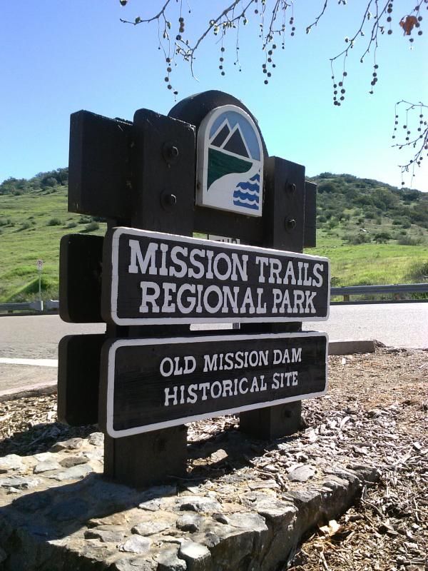
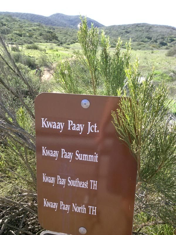
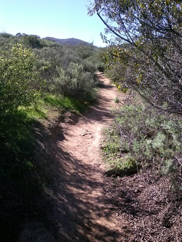
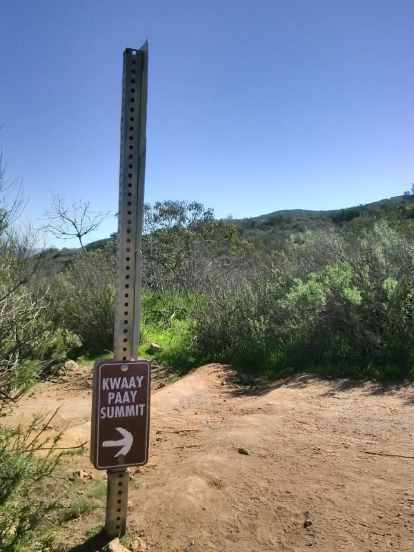
There are two trails leading from paved Father Junípero Serra Trail. My route began across from the Mission Dam parking area and ended at the other trail head on Father Junípero Serra Trail, 0.2 mile east, across from the entrance to the Kumeyaay Lake and Campground, which is known as the Bushy Hill entrance. The Mission Dam route is less steep and merges with the Bushy Hill trail at mile 0.7. At this point, there is a single trail to the peak. In addition to the Mission Dam route and the Bushy Hill Trail, there is the option of following a third trail back to Father Juñipero Serra Trail. Continuing on, the trail to the peak passes through some sage scrub and grassland habitats and continues to the peak through typical chaparral. Plants encountered en route to the peak include laurel sumac, chamise, California lilac, buckwheat, chaparral broom, sugar bush, black sage, nolina, and manzanita.
On the way up, something caught my eye. At first I thought it was a piece of trash but then realized that someone had dropped their smart phone, either on the way up or down.

Hopefully I would find who this belonged to along the way, otherwise, I would need to look through the phone's contacts to get a hold of the owner. So I continued up the trail.
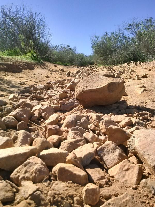
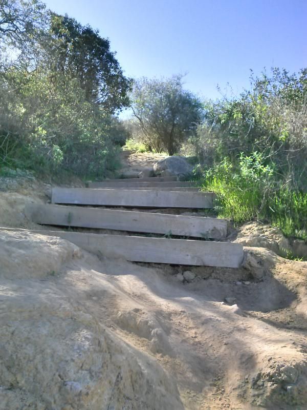
Getting steeper...
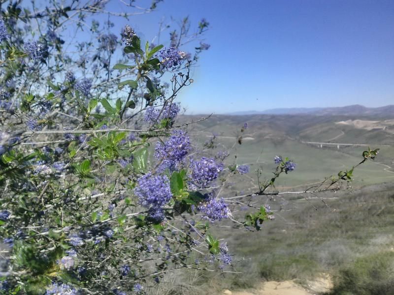
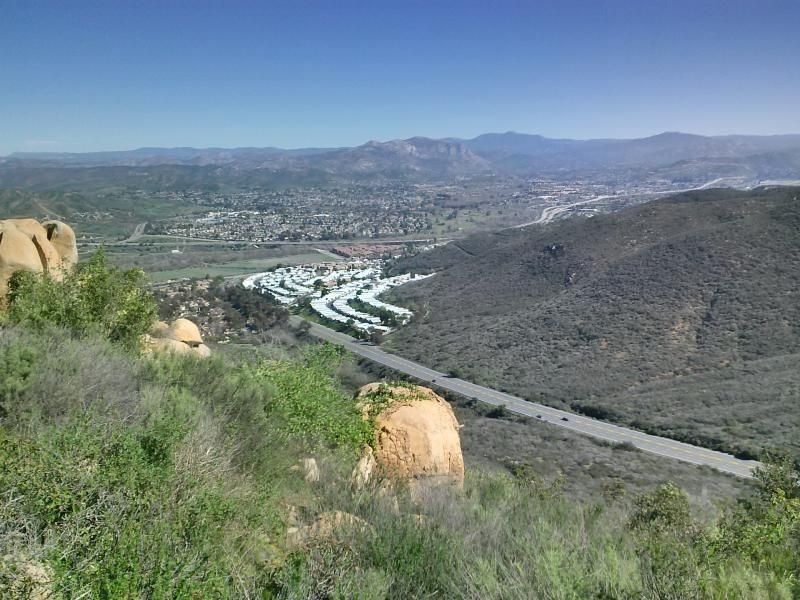
Highway 52 in the distance.
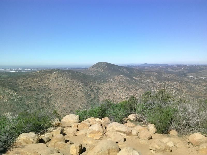
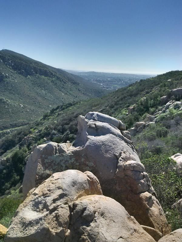
Looking north from the summit towards Fortuna Mountain, directly across.
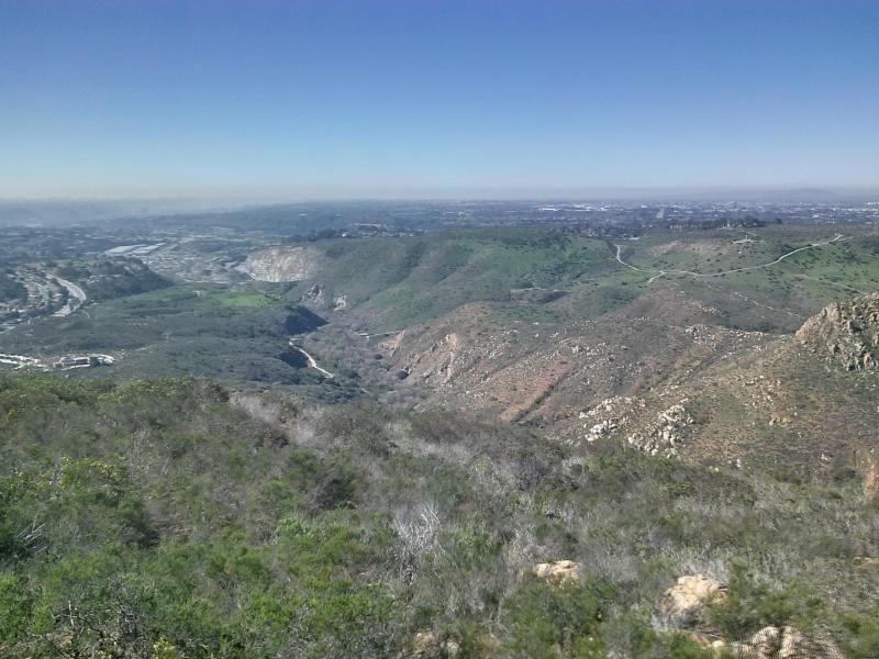
The San Diego river gorge below.
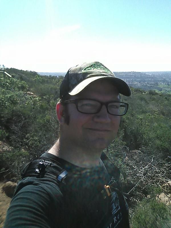
Of course what's the point of all this without a summit selfie?
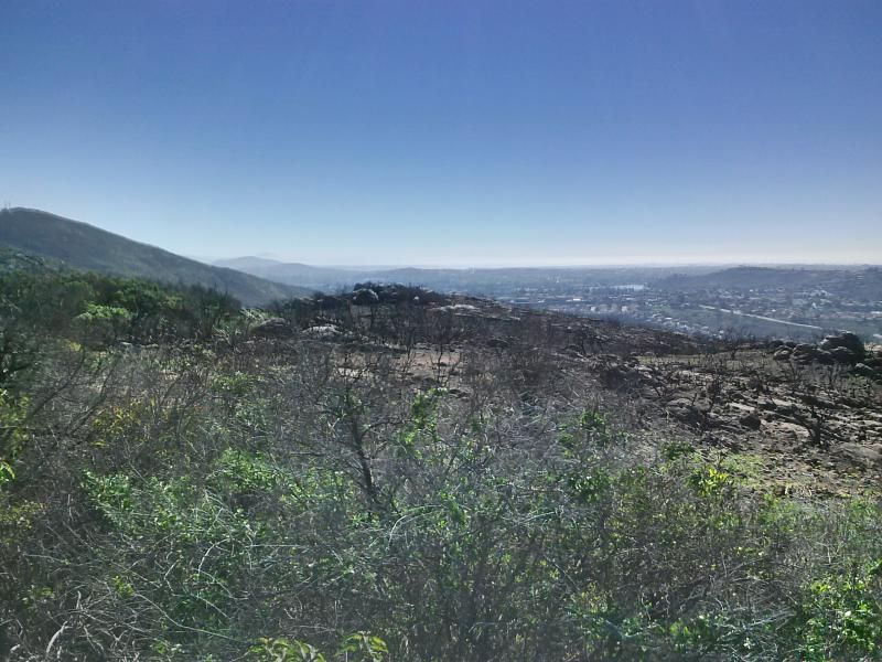
A few months ago the west side of the mountain here caught fire.
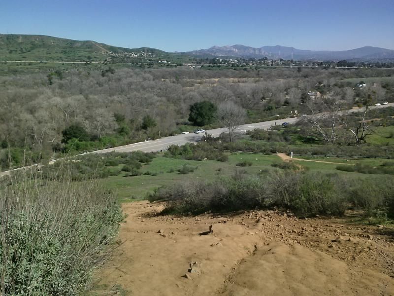
Looking southeast with Mission Gorge Road below.
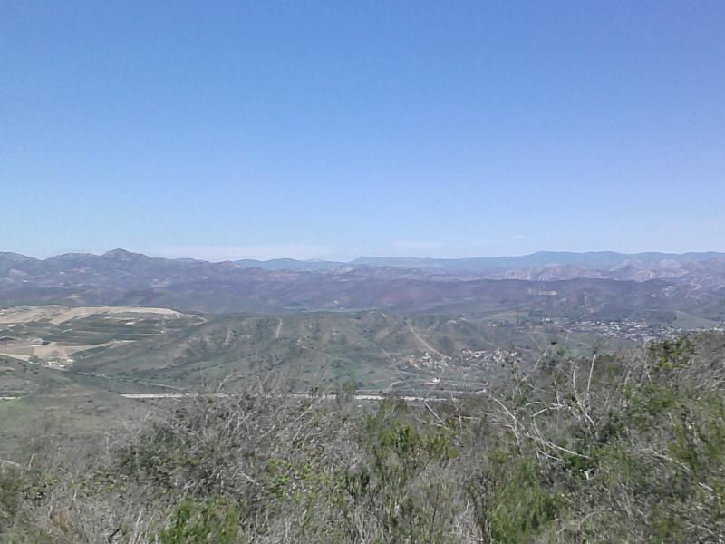
Southwest view towards San Diego.
Looking east I could make out the highest point in the county of San Diego, Hot Springs Mountain in the Los Coyote Indian Reservation. Beyond that, Santa Rosa Mountain.
Nearing the bottom of one of the other access points along Father Junípero Serra Trail.
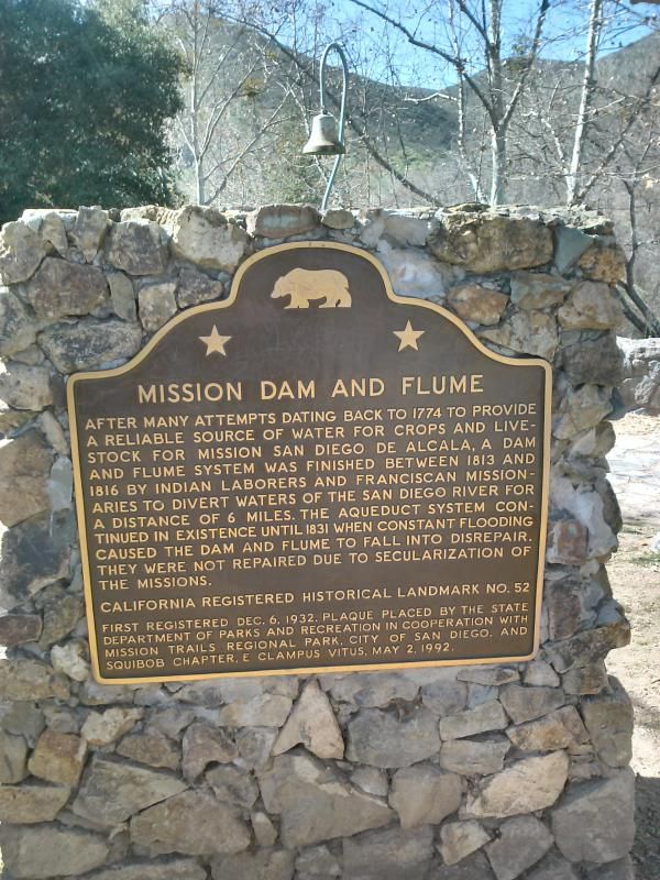
On the way down I was able to contact the wife of the fellow who had dropped his phone. We made arrangements to meet where I had parked by the old Mission Dam. Jason was thankful to have his phone back and I told him to just pass it forward. If I had dropped mine I would hope that whoever found it would do the same.


Distance: 2.8 miles
Elevation Gain/Loss: 900'/900'
Check out the links below for directions and more info on this trail:
No comments:
Post a Comment